

These groups of images are of sites on the Little Ouse where navigational structures and river crossings stood, or still stand. The sites are in order, proceeding downstream.
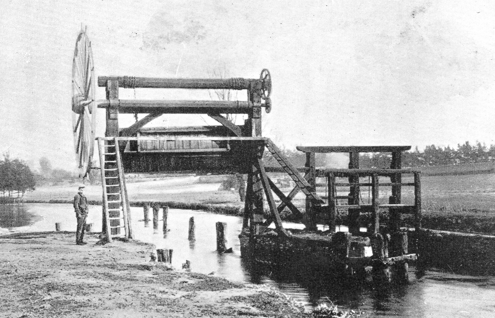
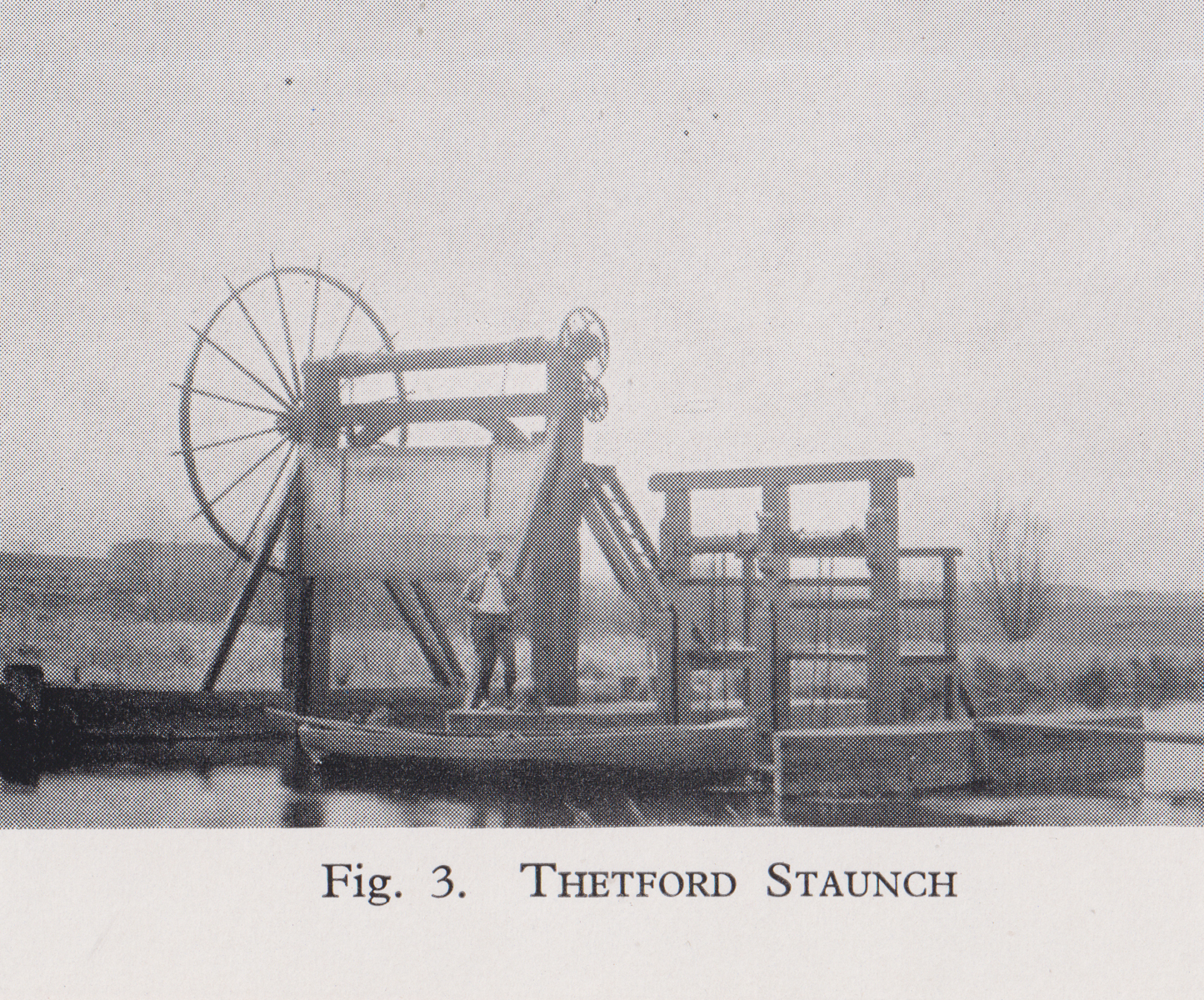
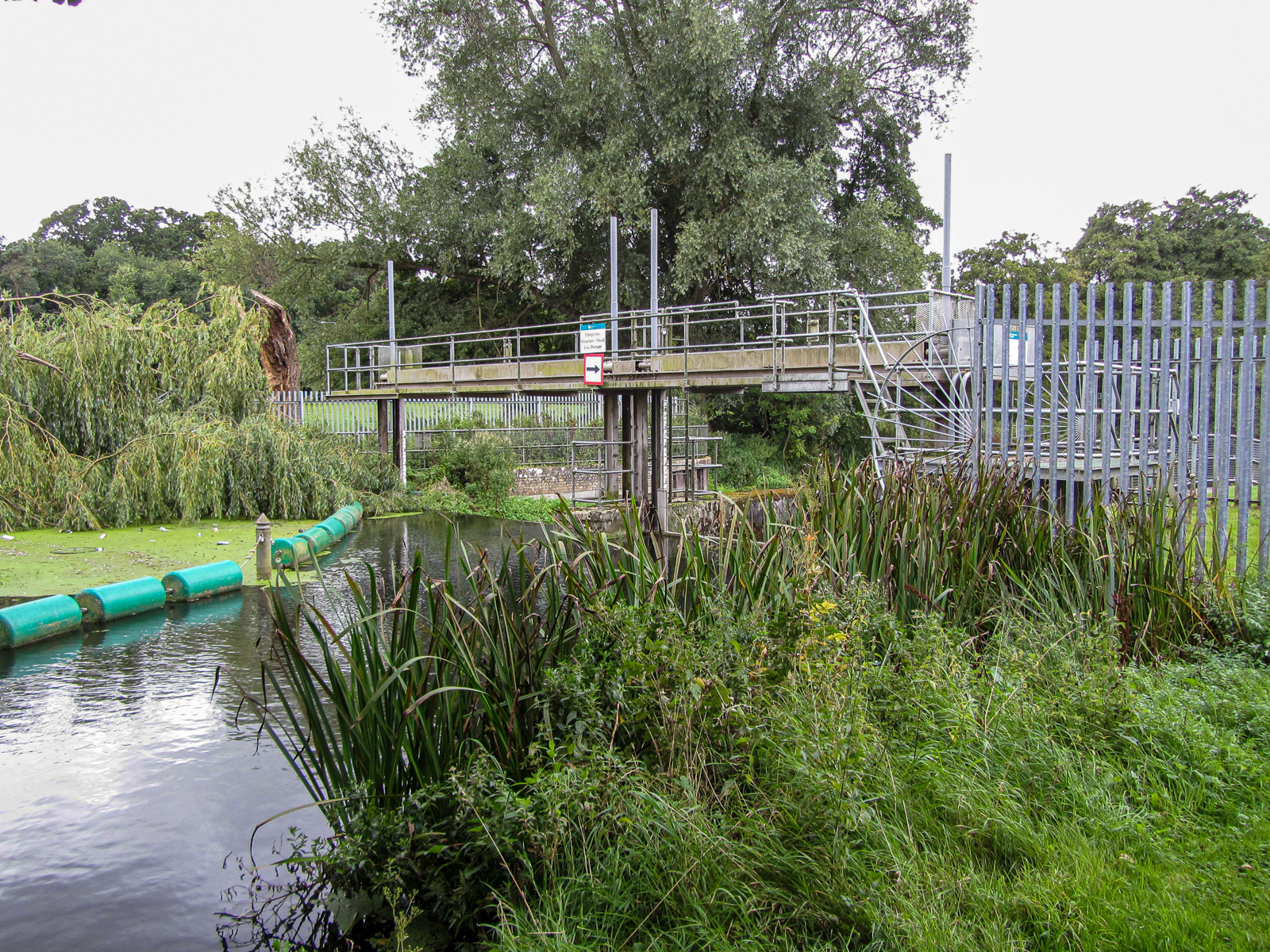
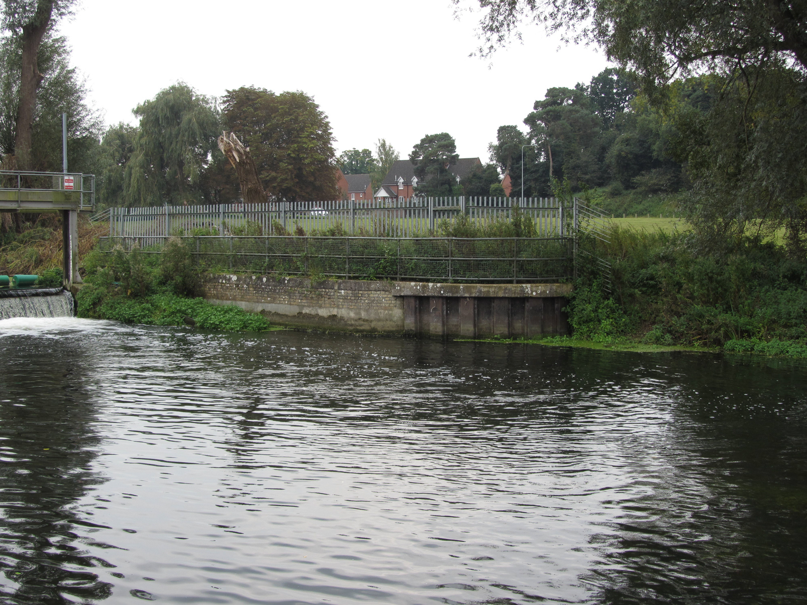
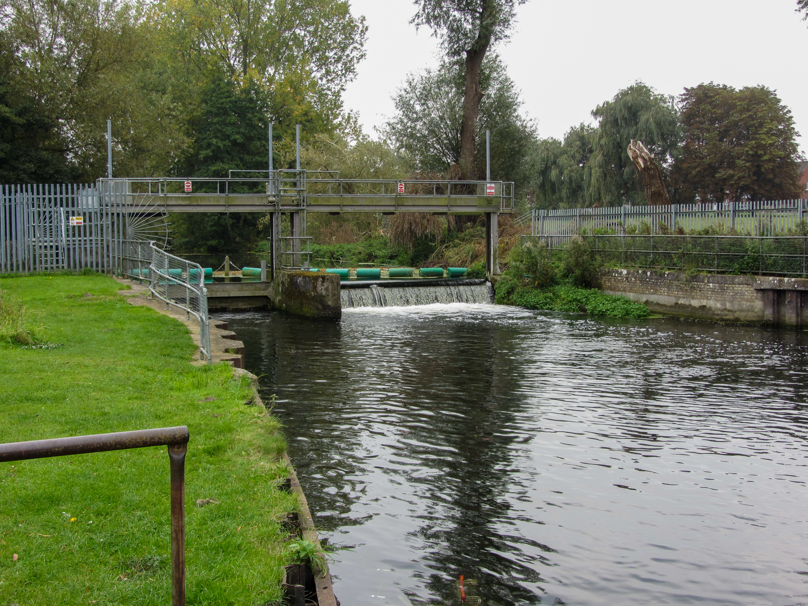
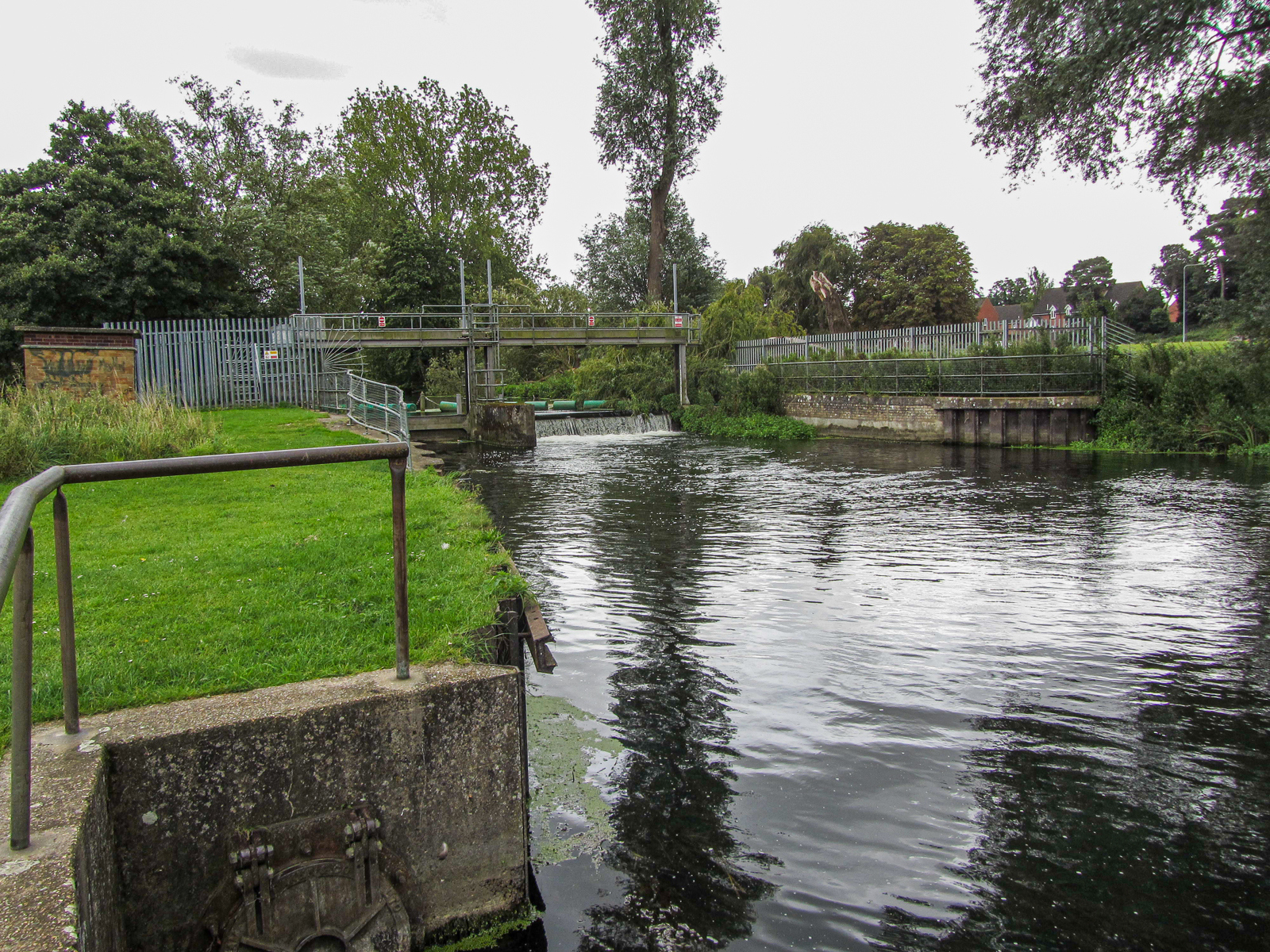
Thetford No. 1 Staunch
Grid ref. TL 8609 8321 Coordinates N52.41527 E0.73493
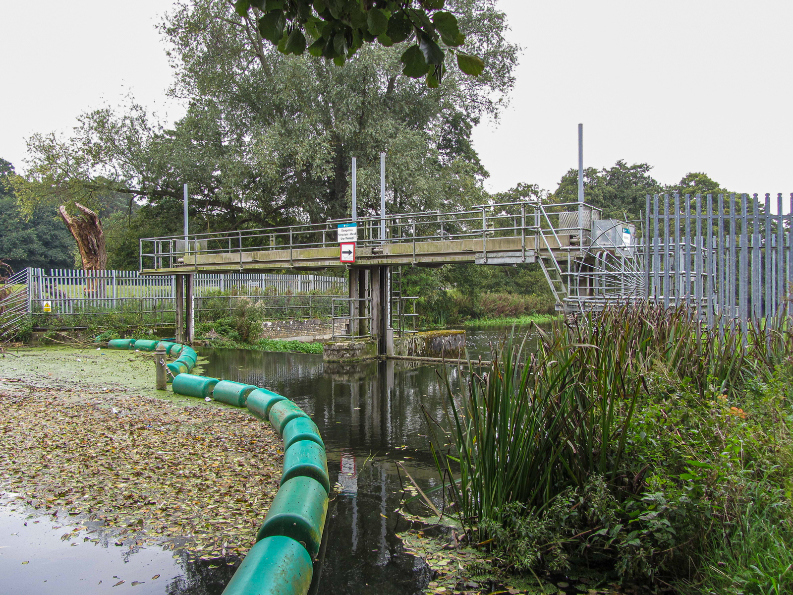
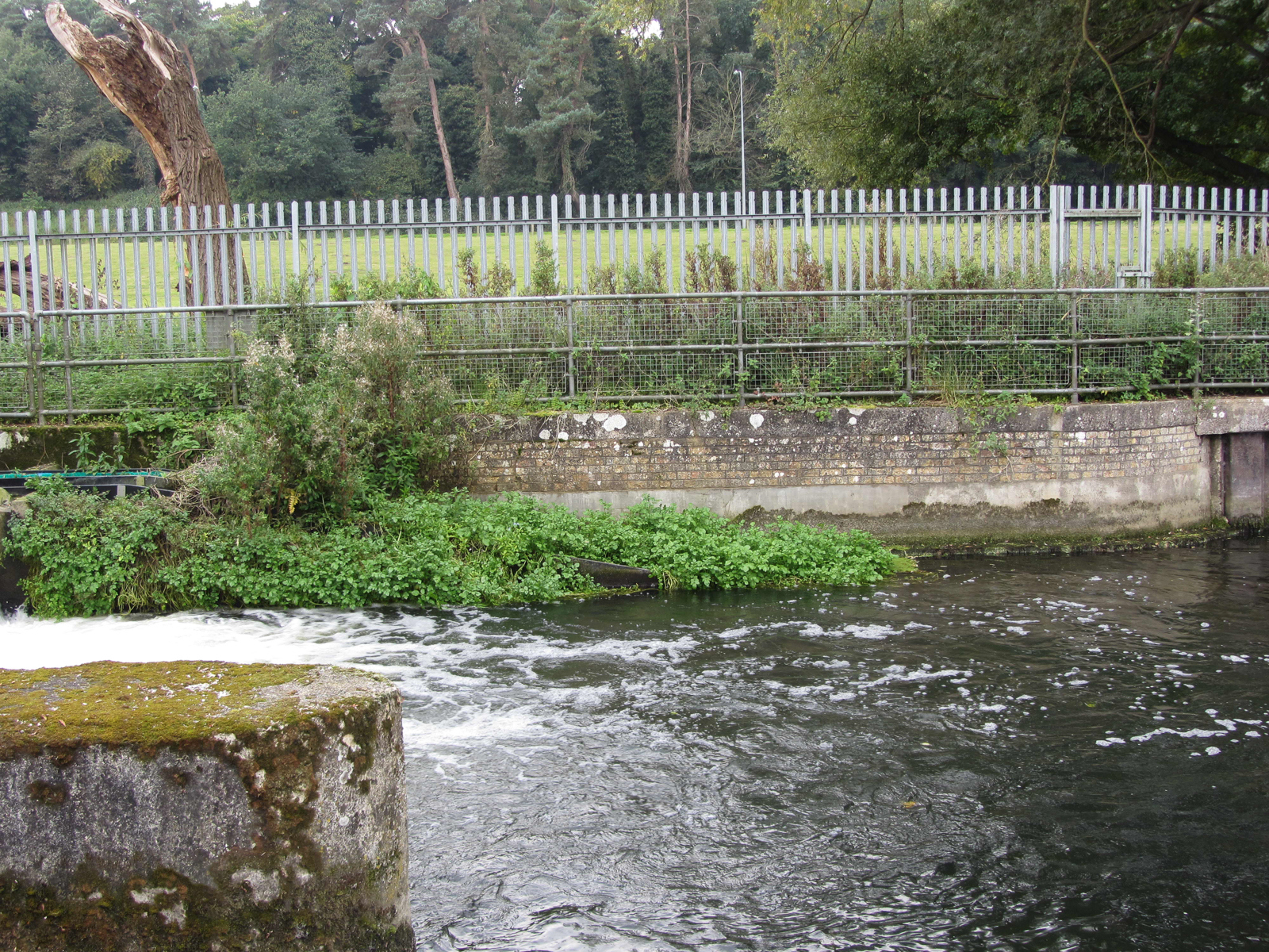
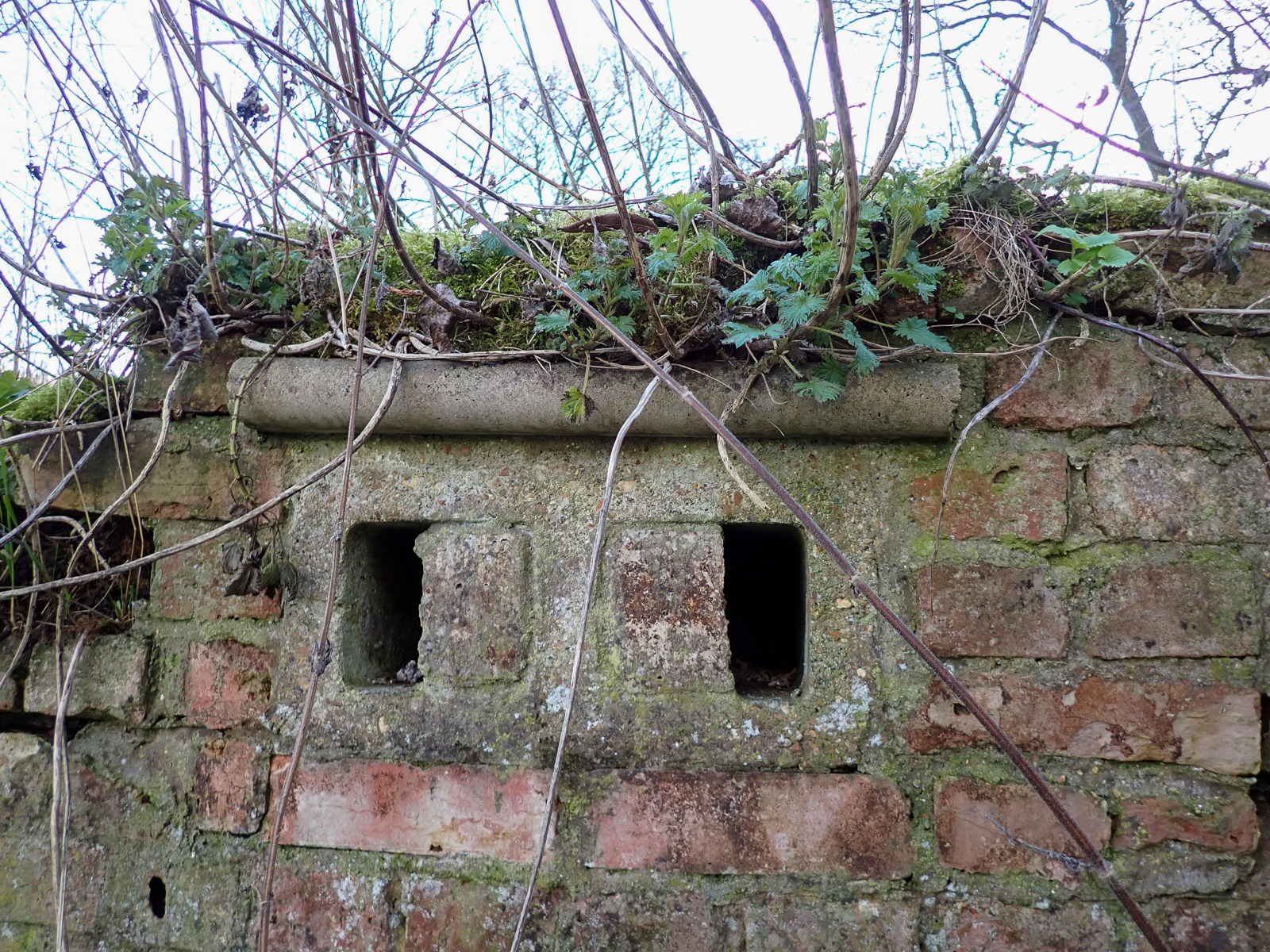
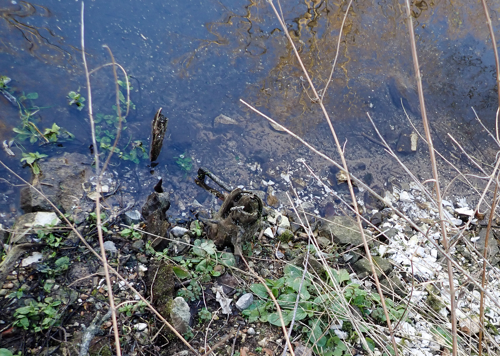
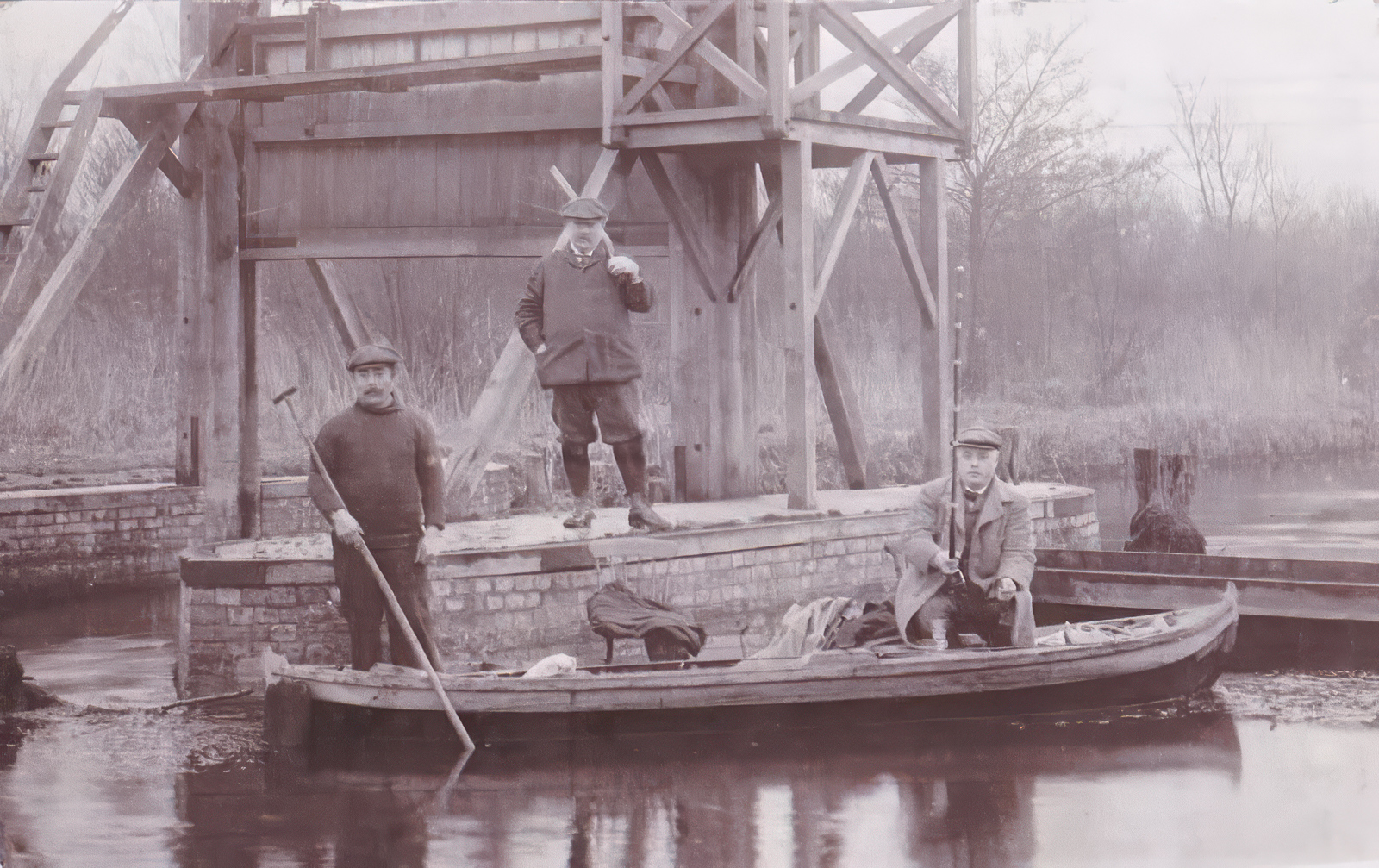
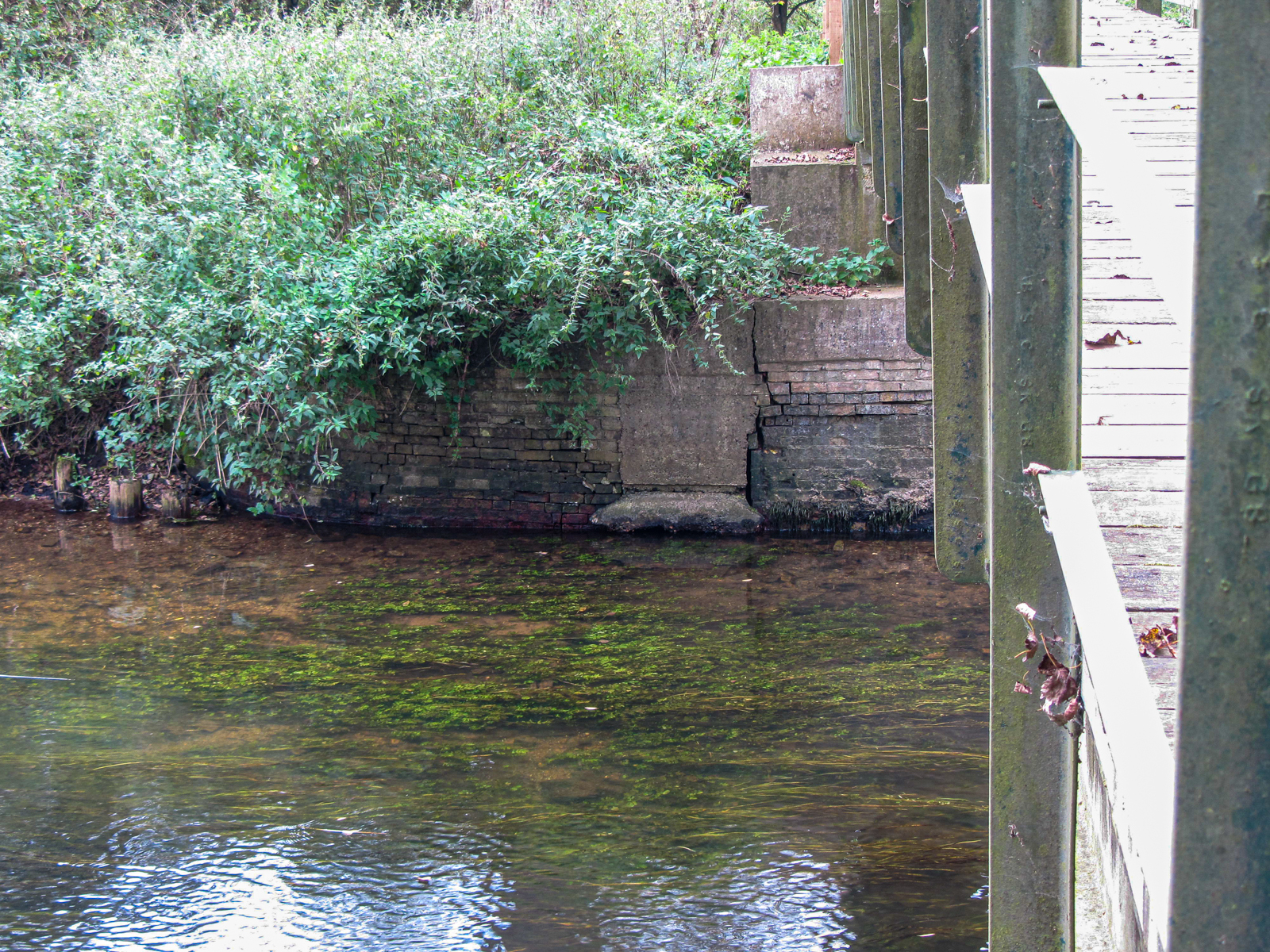
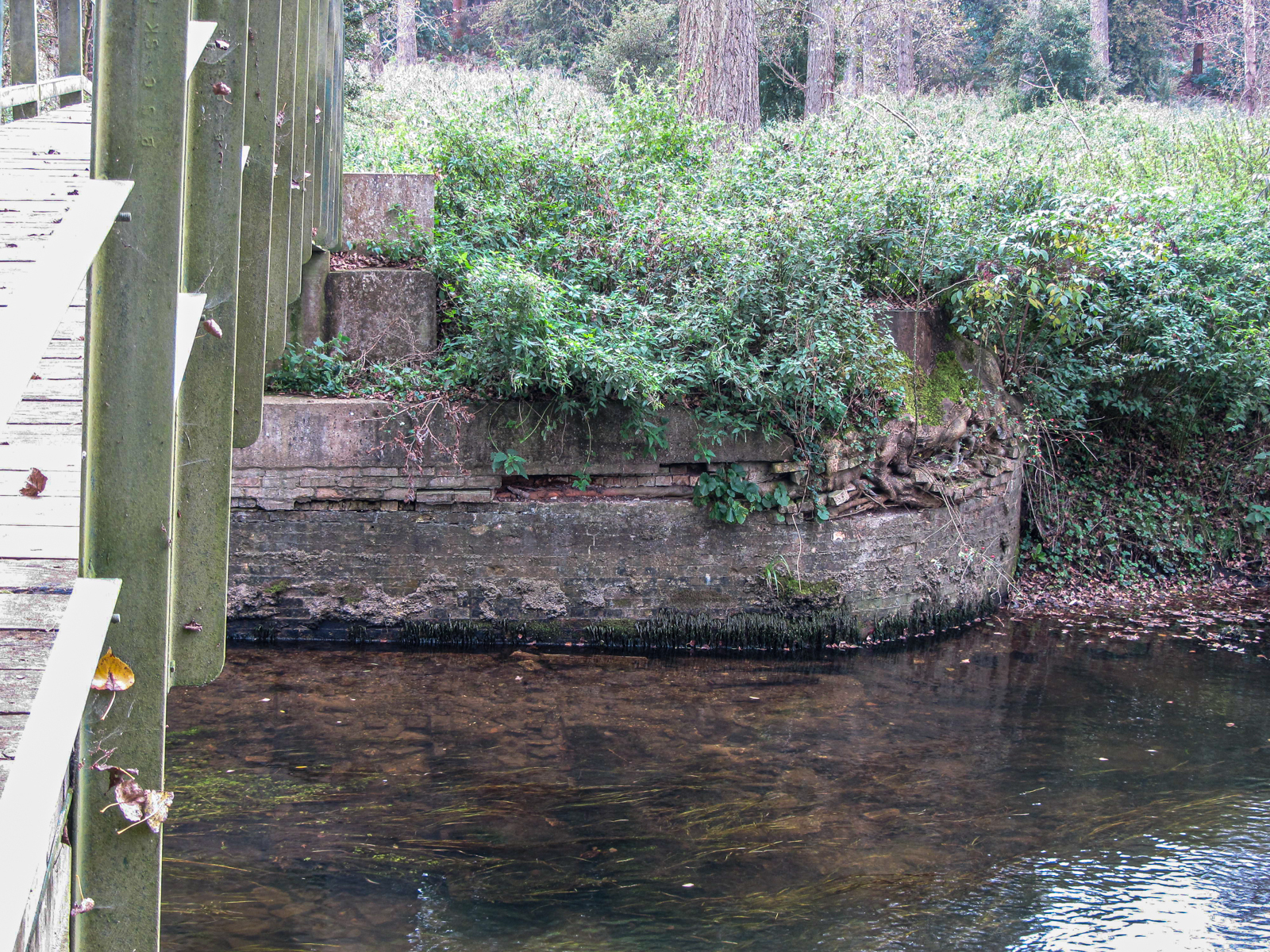
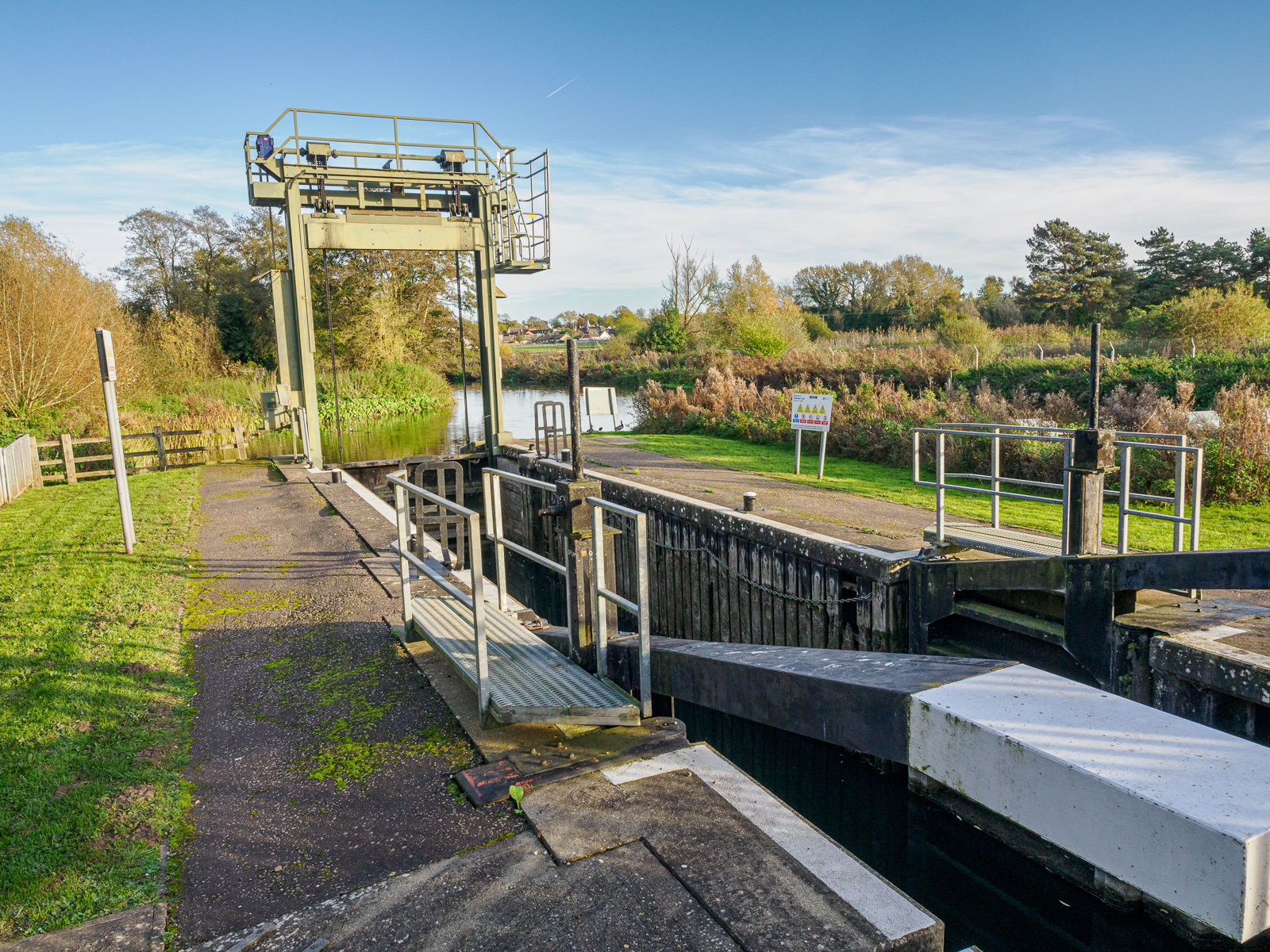
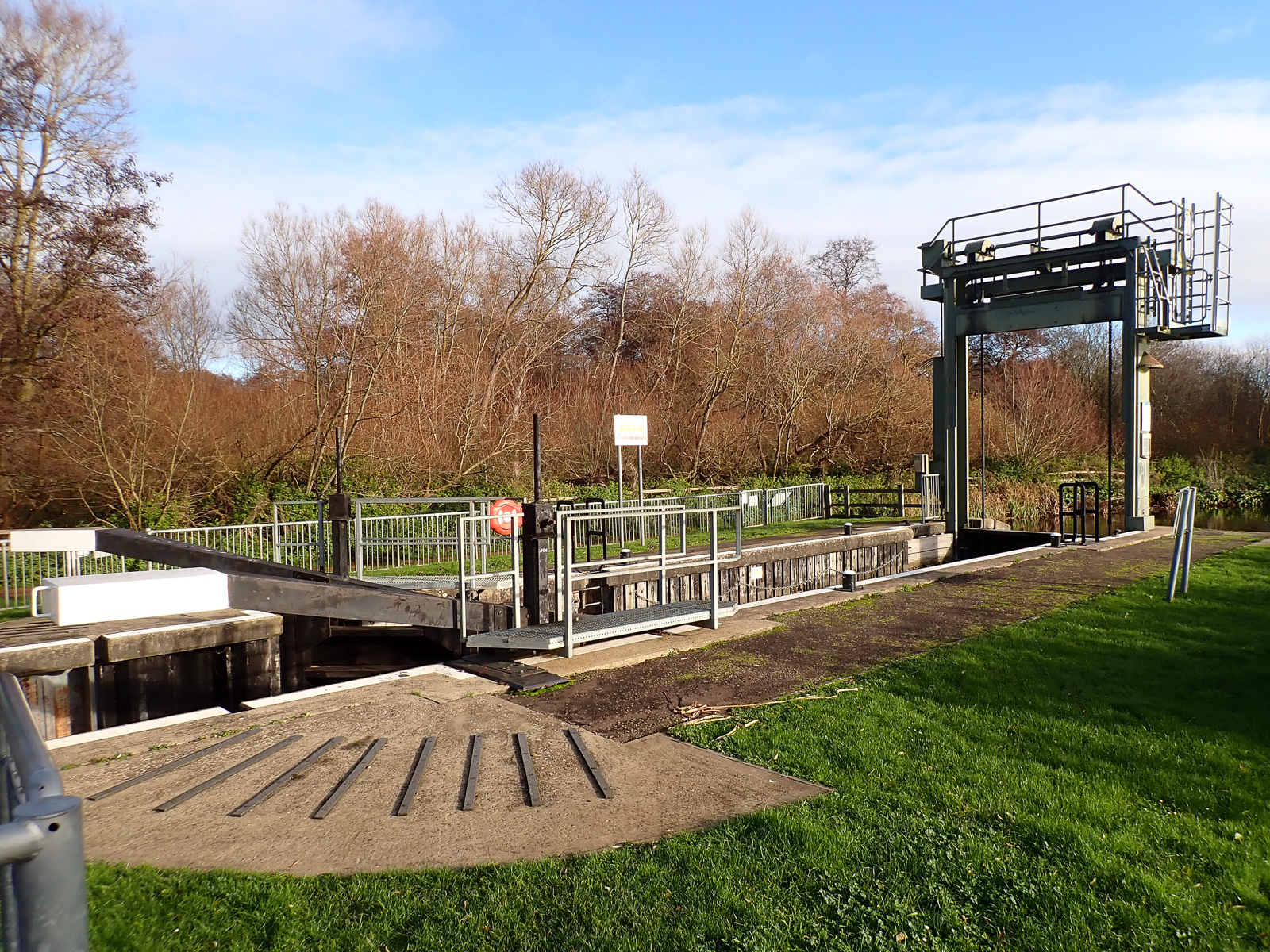
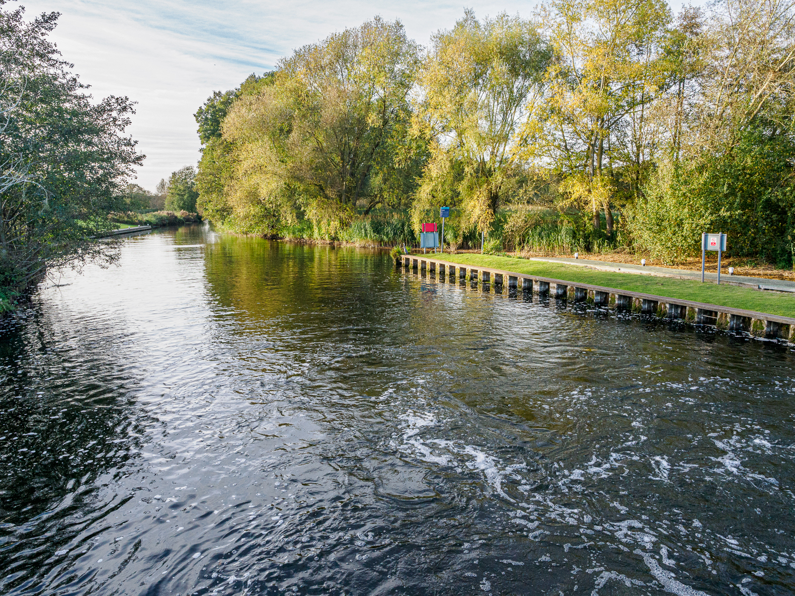
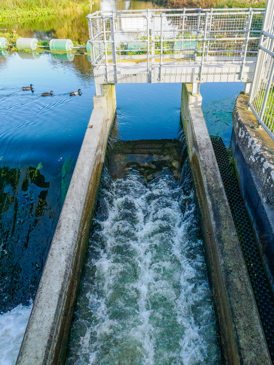
Thetford Staunch was demolished 1932 by Royal Engineers. It was replaced by Thetford No. 1 Sluice, with two steel sluice gates and a fish ladder to the south side. The north bank appears to be in concrete though the south bank has a large portion in brick, best viewed from the north bank. Could this be remains of the original staunch?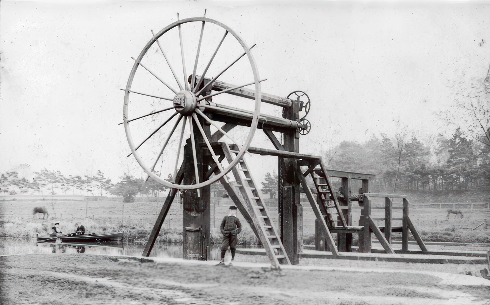
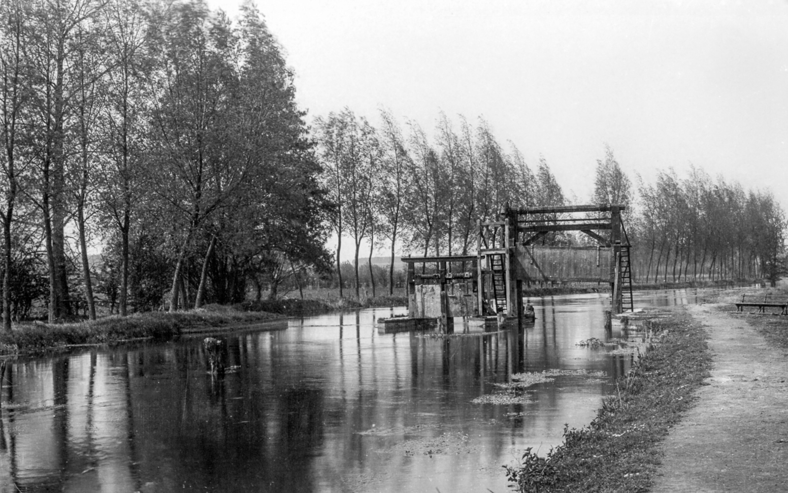
Thetford Middle Staunch
Grid ref. TL8509 8436 Coordinates N52.42597 E0.72088
This was completely obliterated in 1961 by the erection of Abbey Heath Gauging Station and a concrete footbridge. Middle Staunch was so named because it was built on an island in the middle of the river.
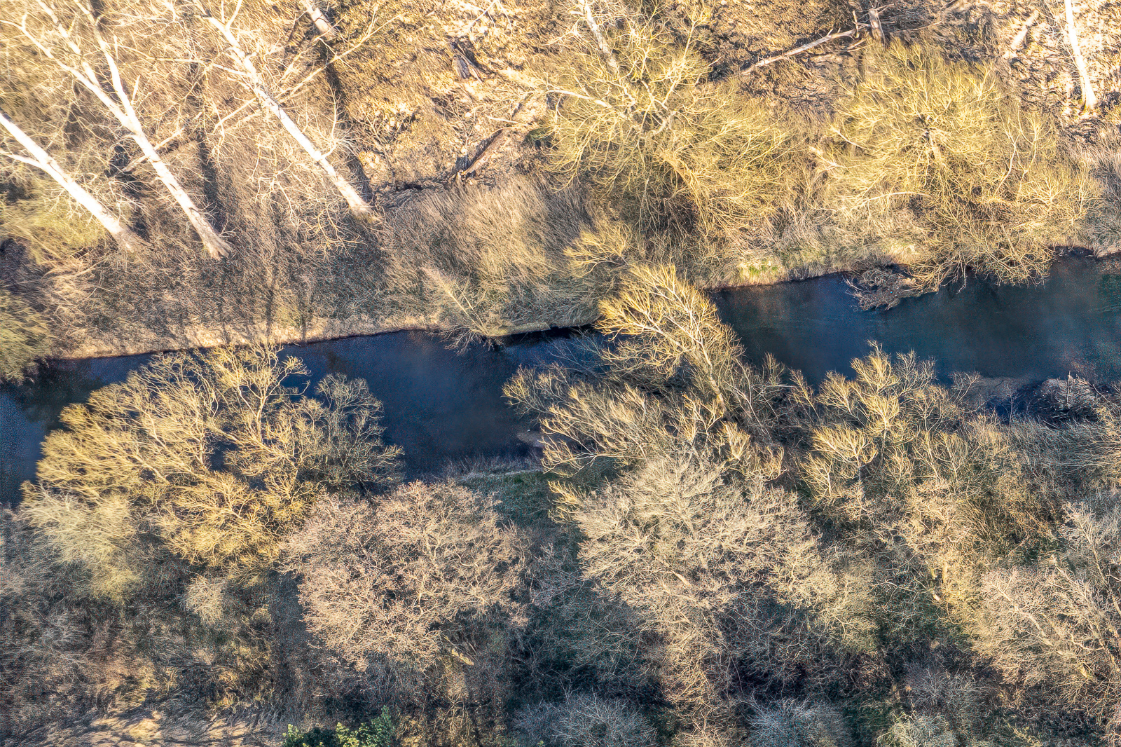
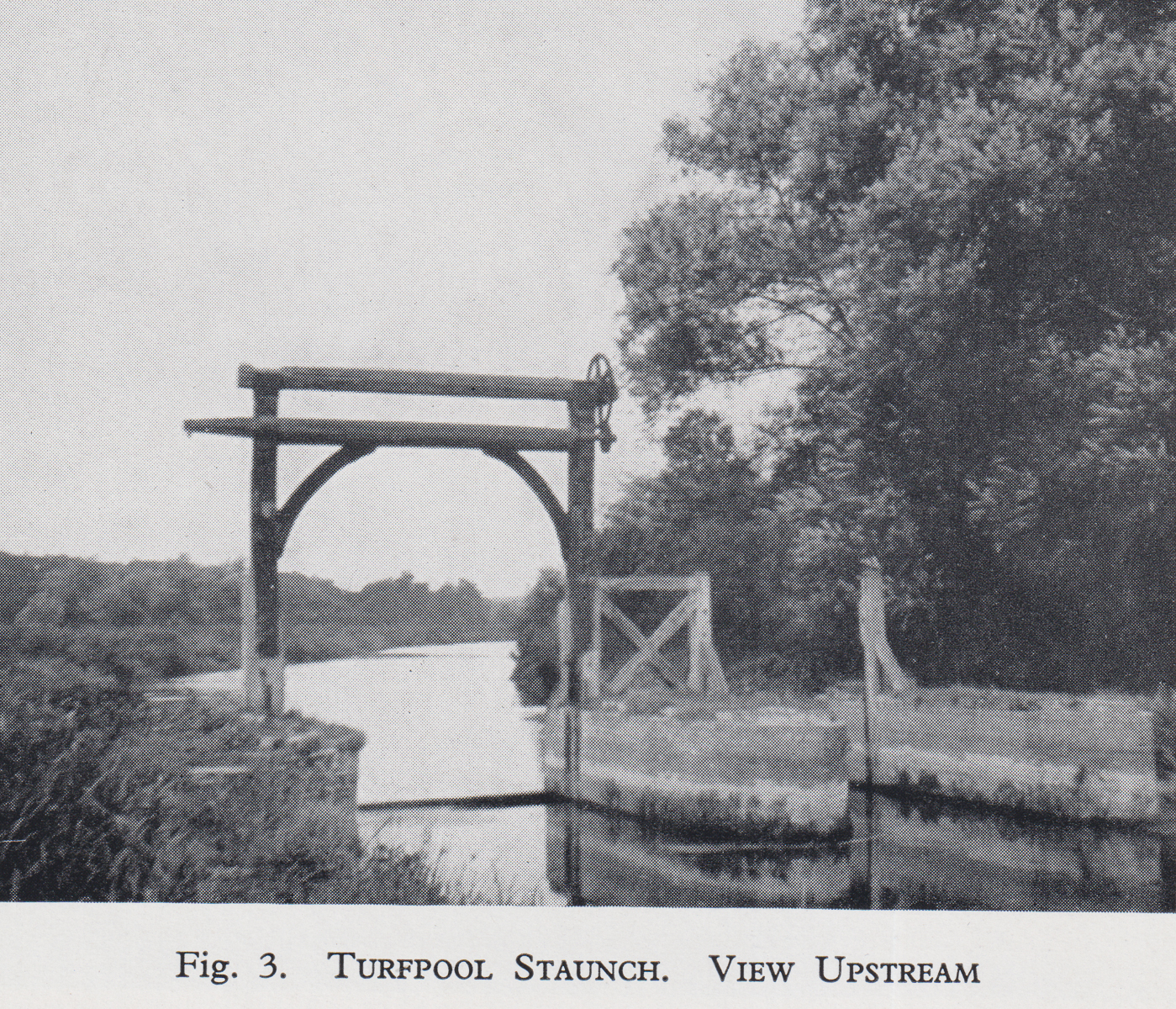
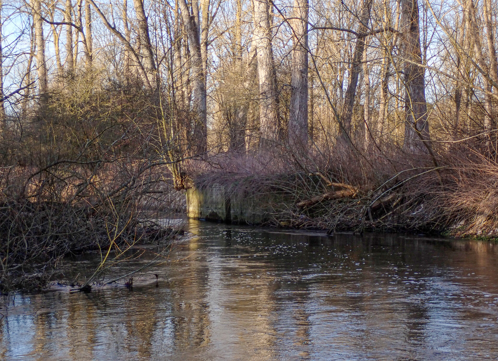
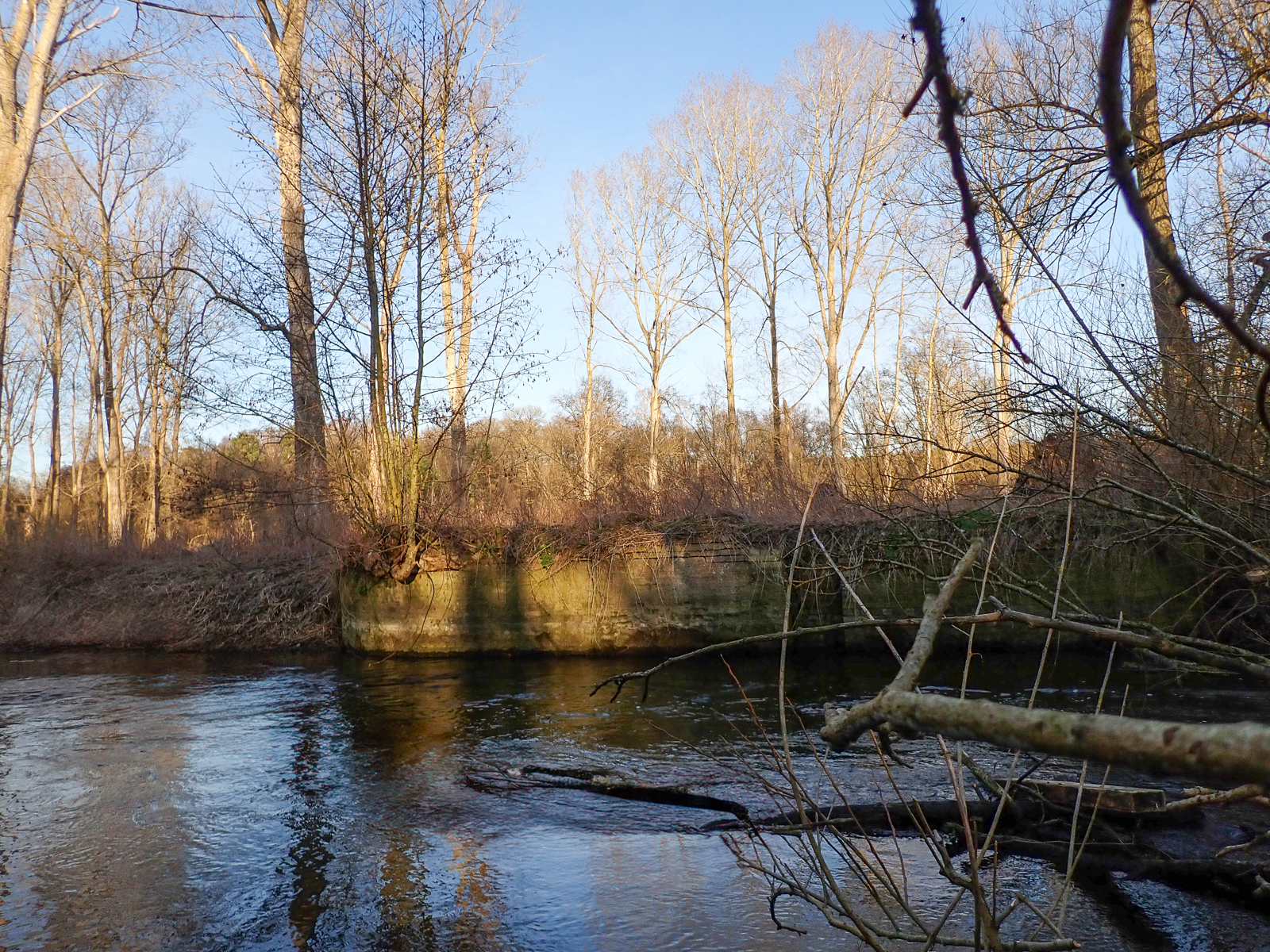
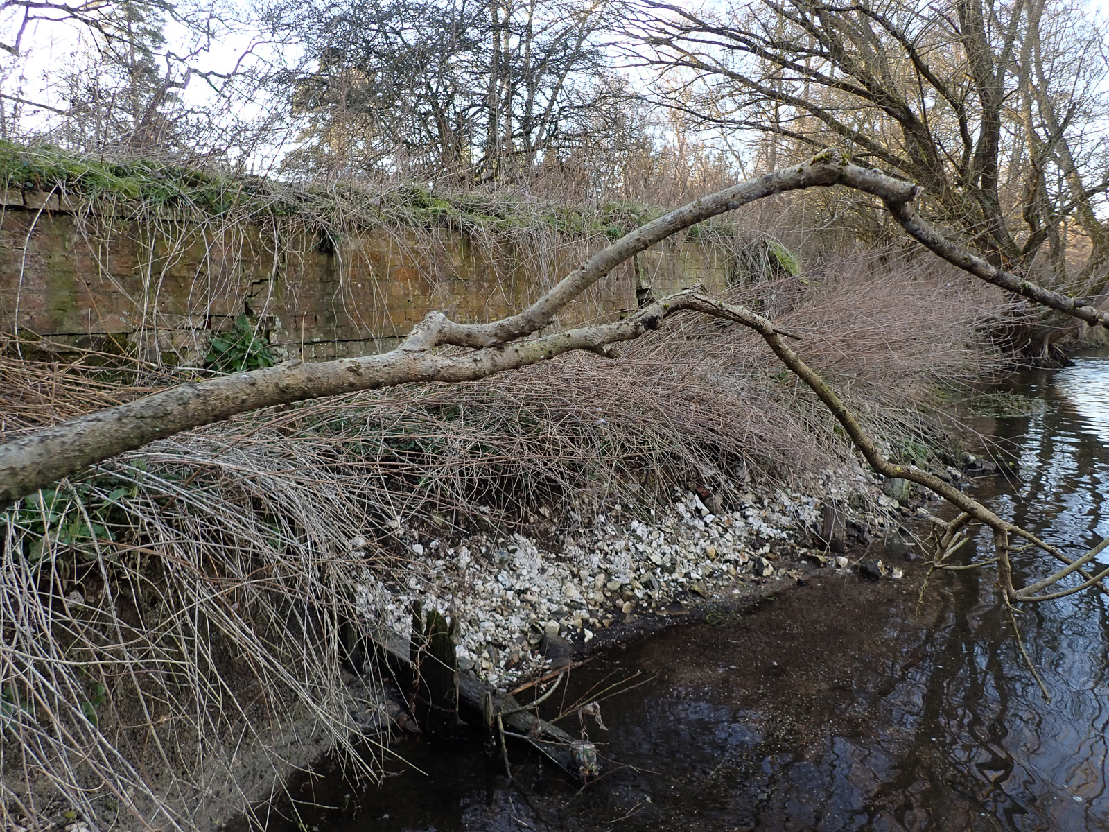
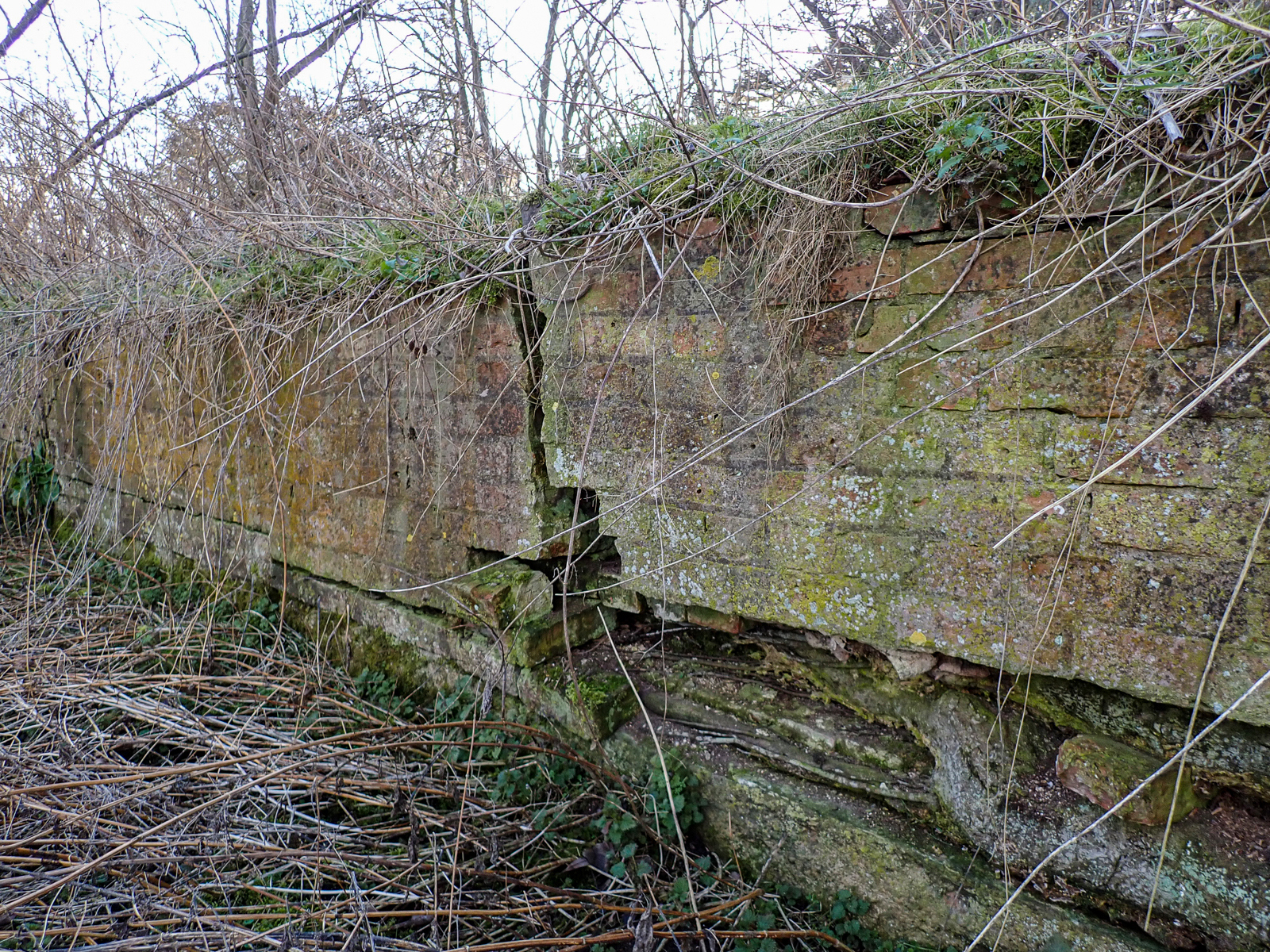
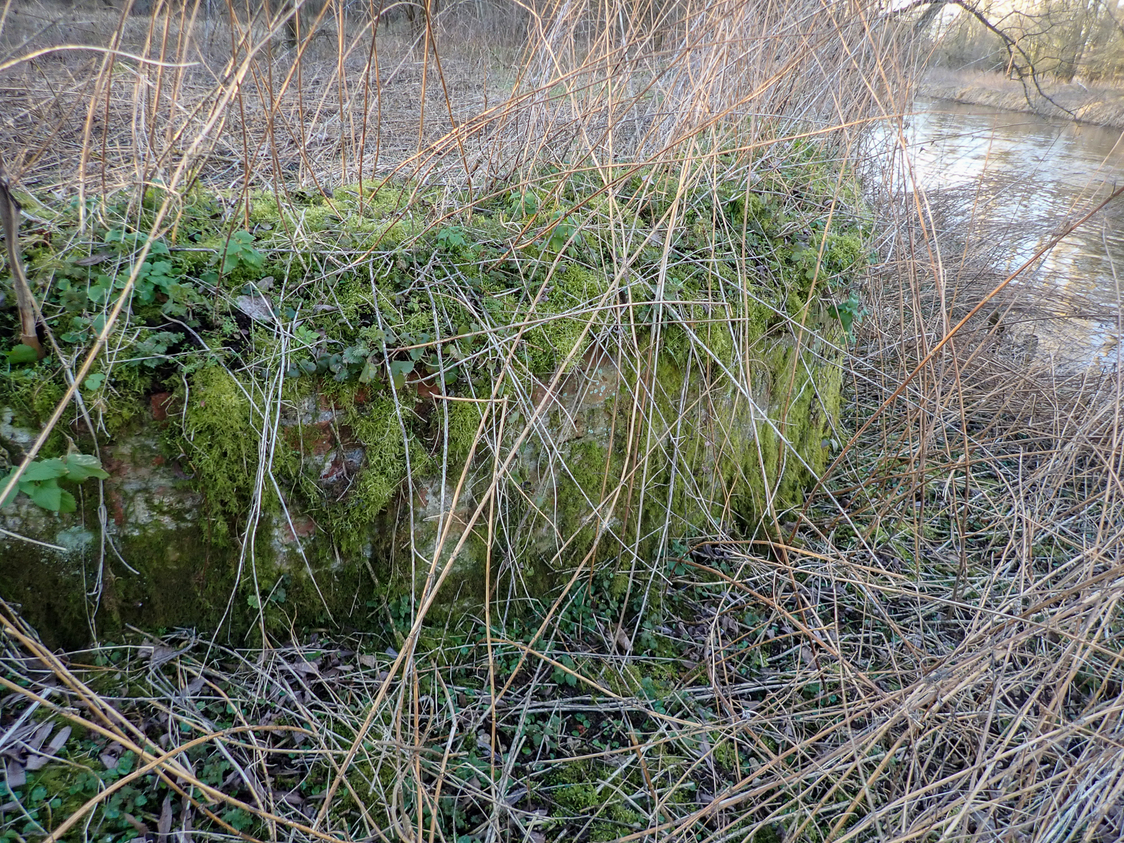
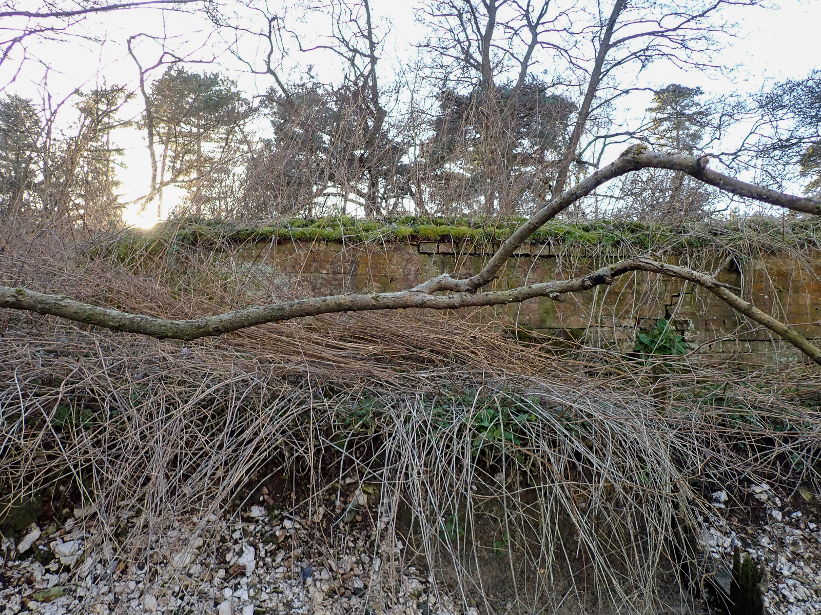
Turfpool Staunch
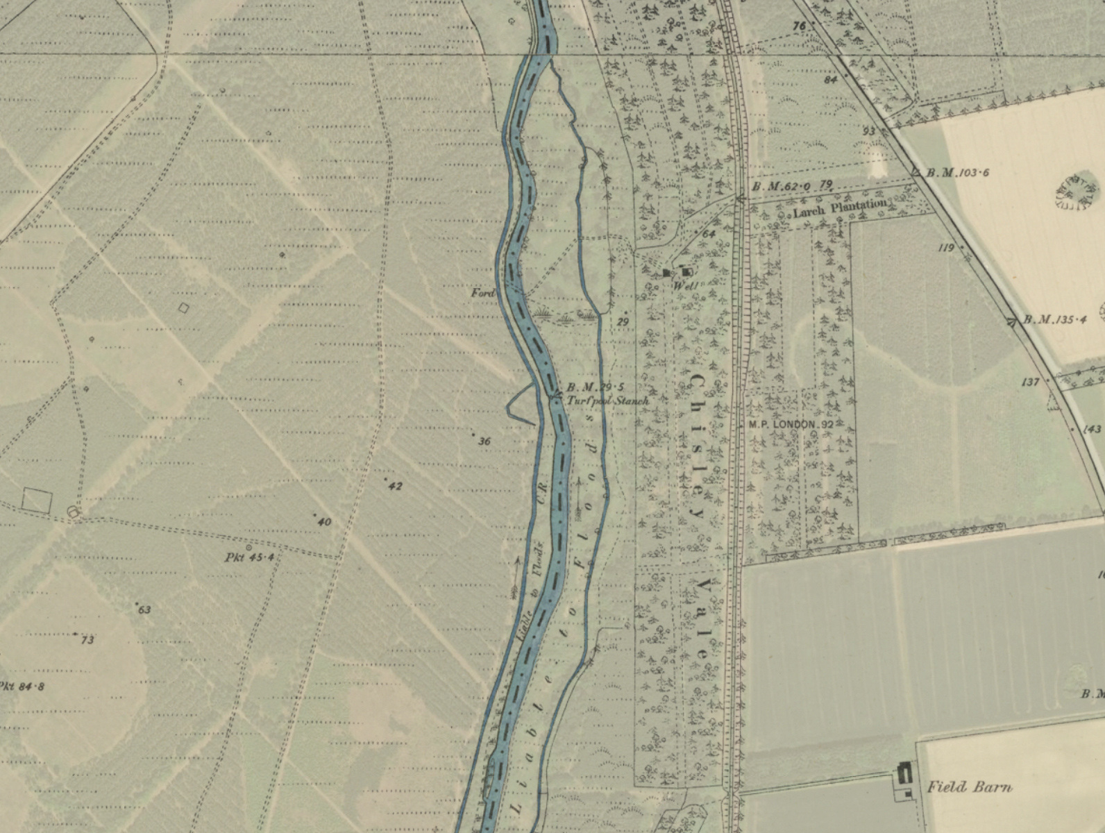
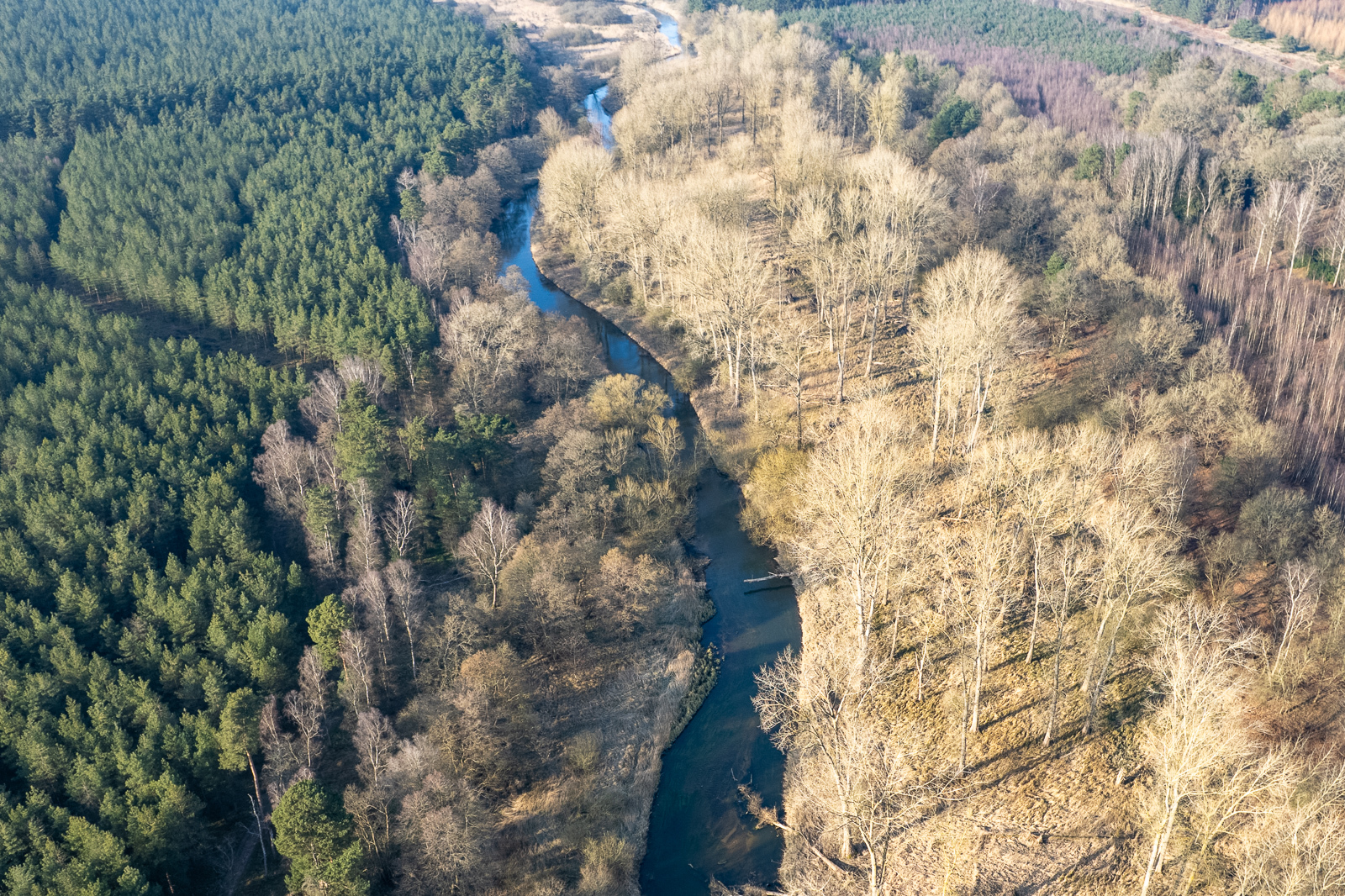
Grid ref. TL 8541 8562 Coordinates N52.43779 E0.72632
Fisons Vitriol & Fertiliser Works
Grid Ref. …………………………………..
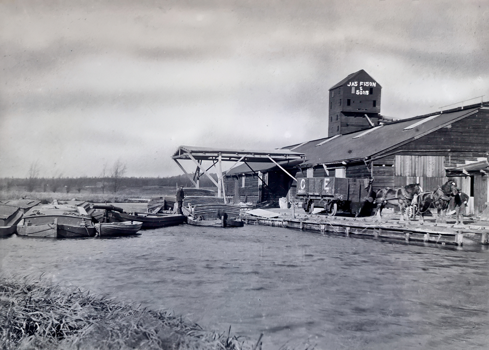
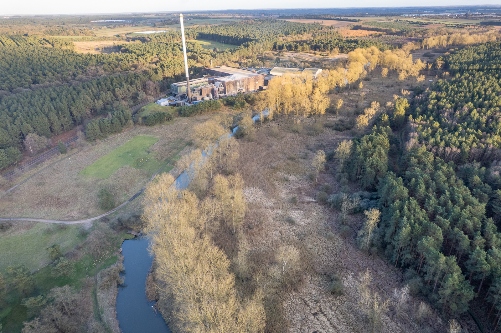
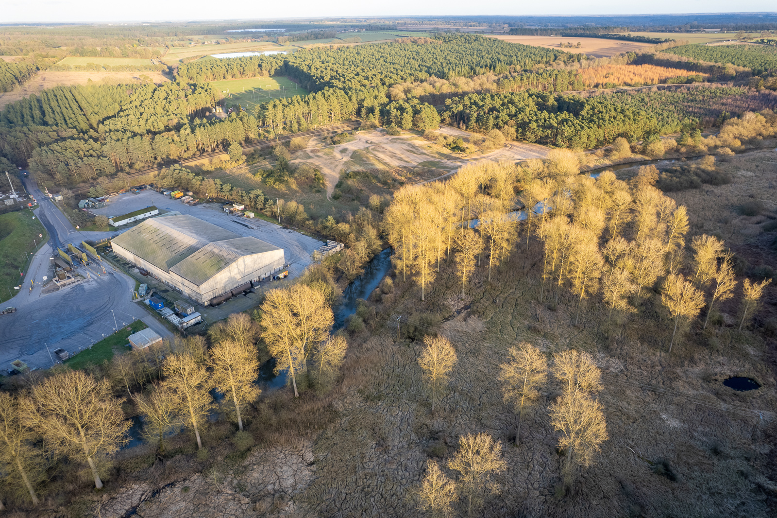
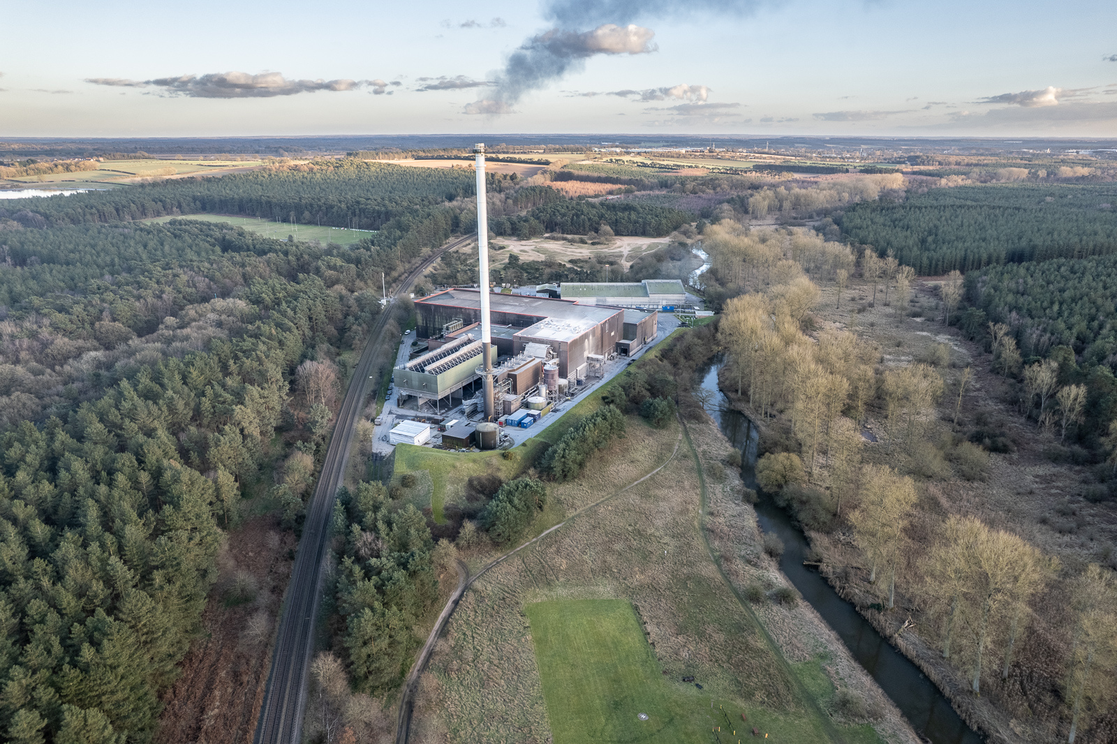
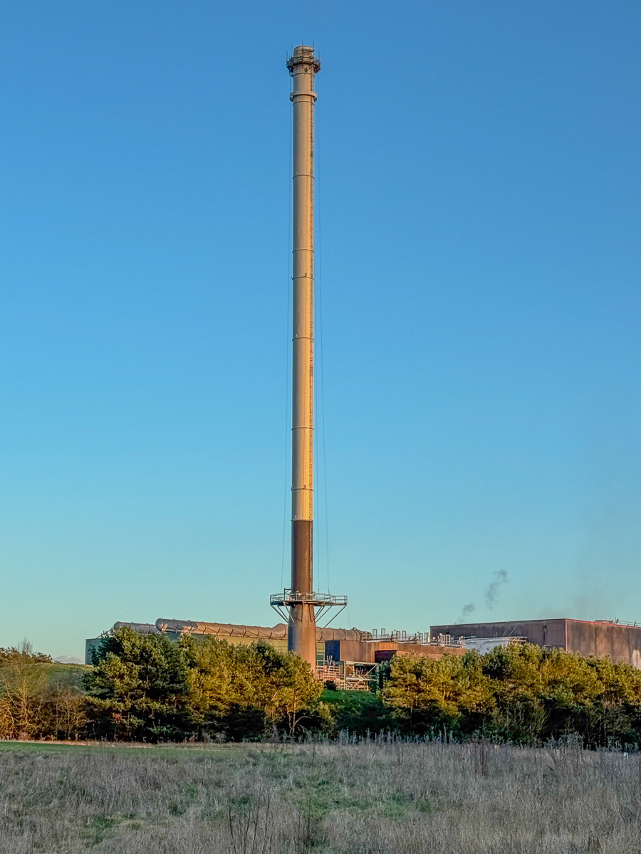
This stood on the site now occupied by Thetford Power Station, which is Europe’s largest facility generating electric power by burning poultry litter.
Bones were crushed and treated with sulphuric acid (vitriol) which was produced on site, to create superphosphate fertiliser. The factory was the last commercial operation on the Little Ouse served by lighters.
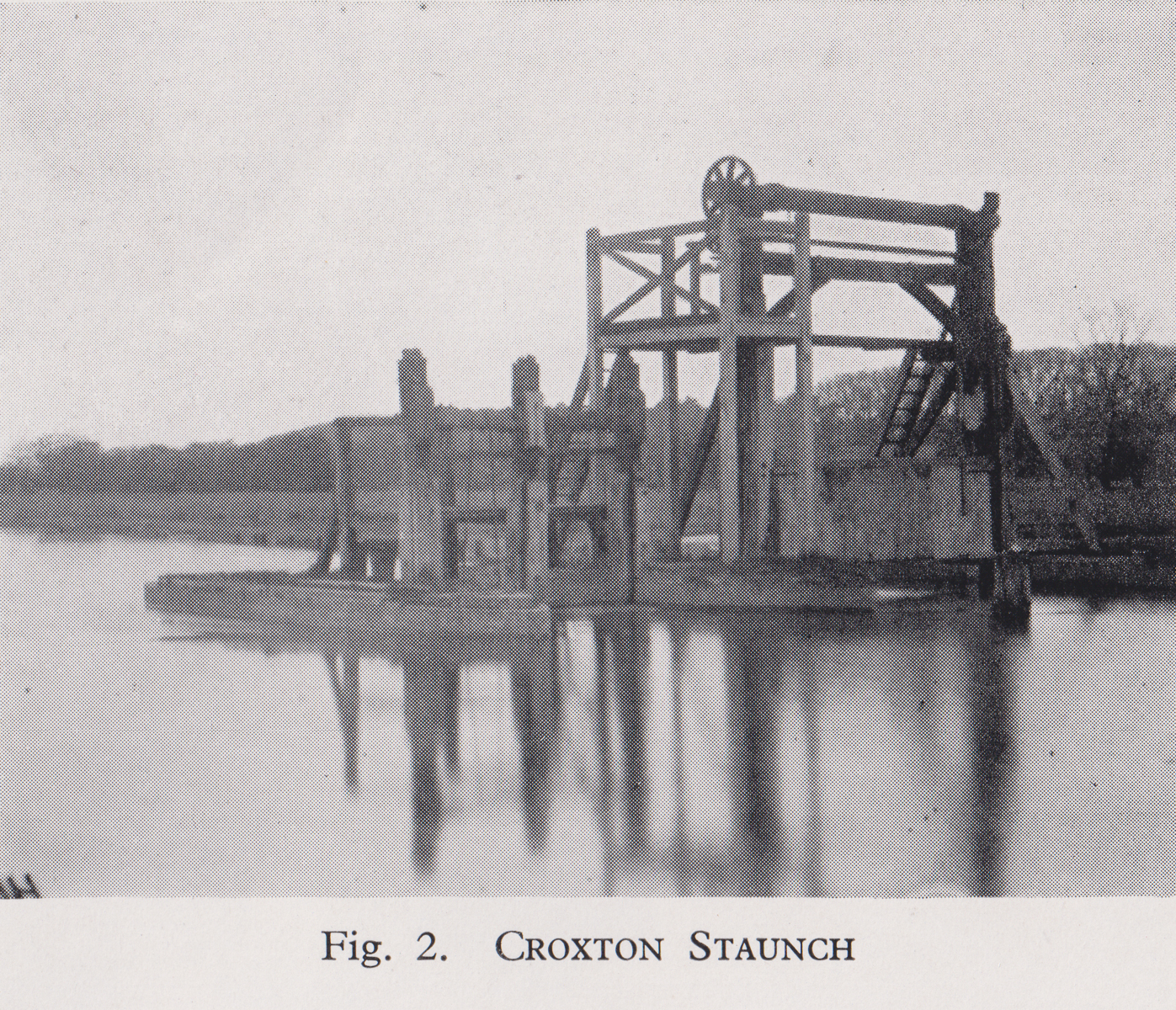
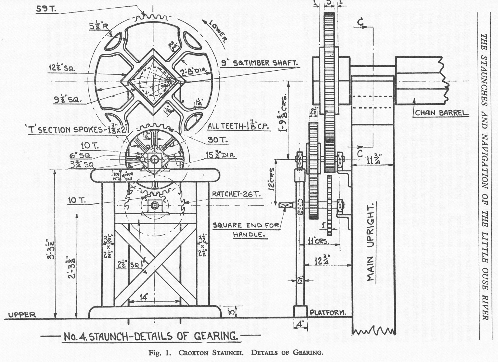
Croxton Staunch
Grid ref. TL 8469 8701 Coordinates N52.44986 E0.71908
NHER Record
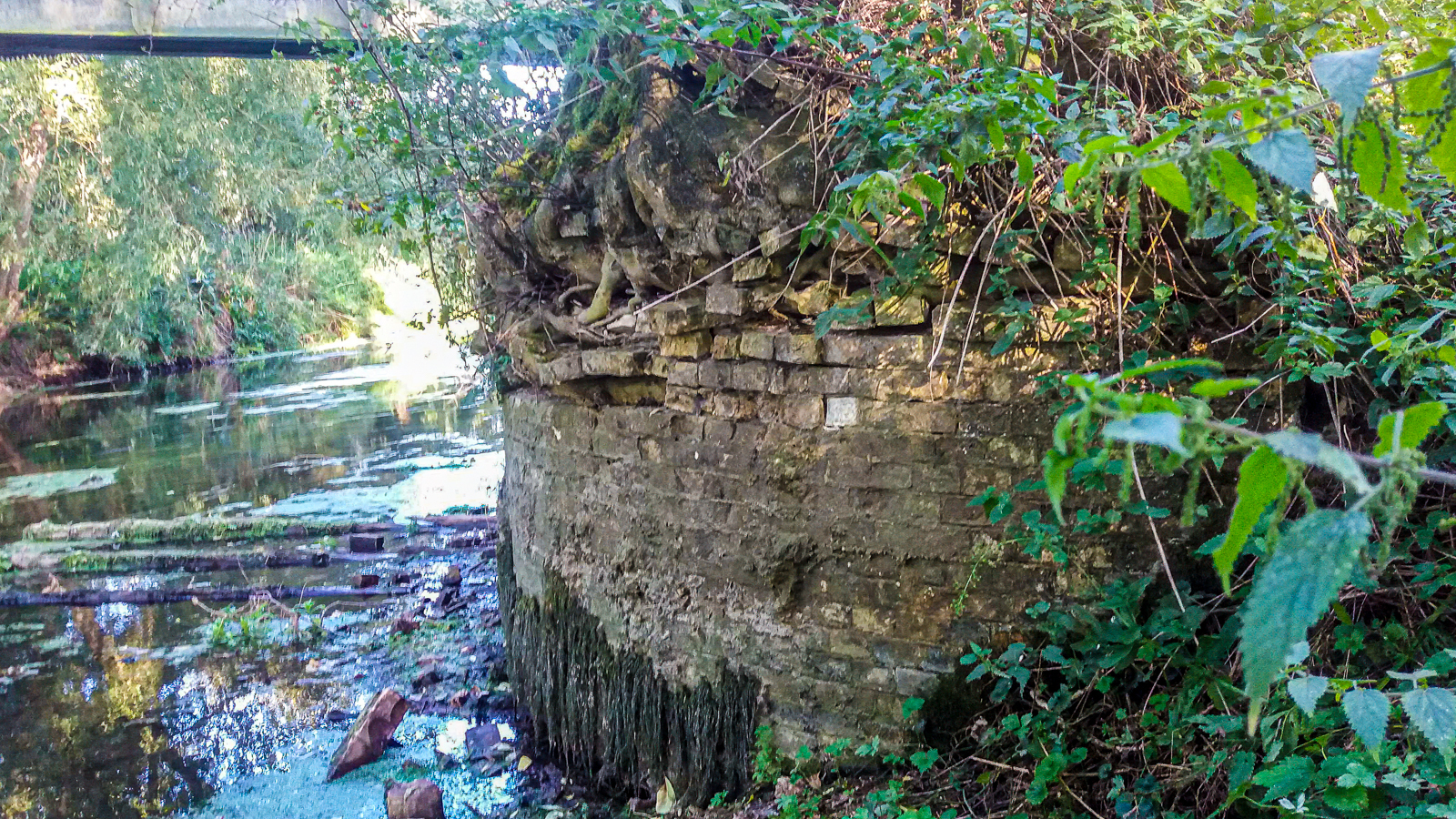
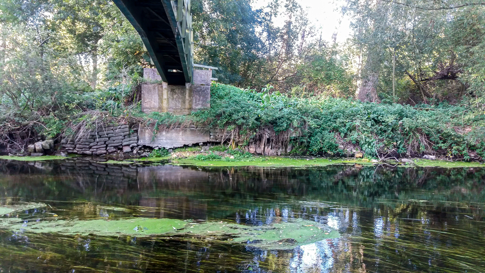
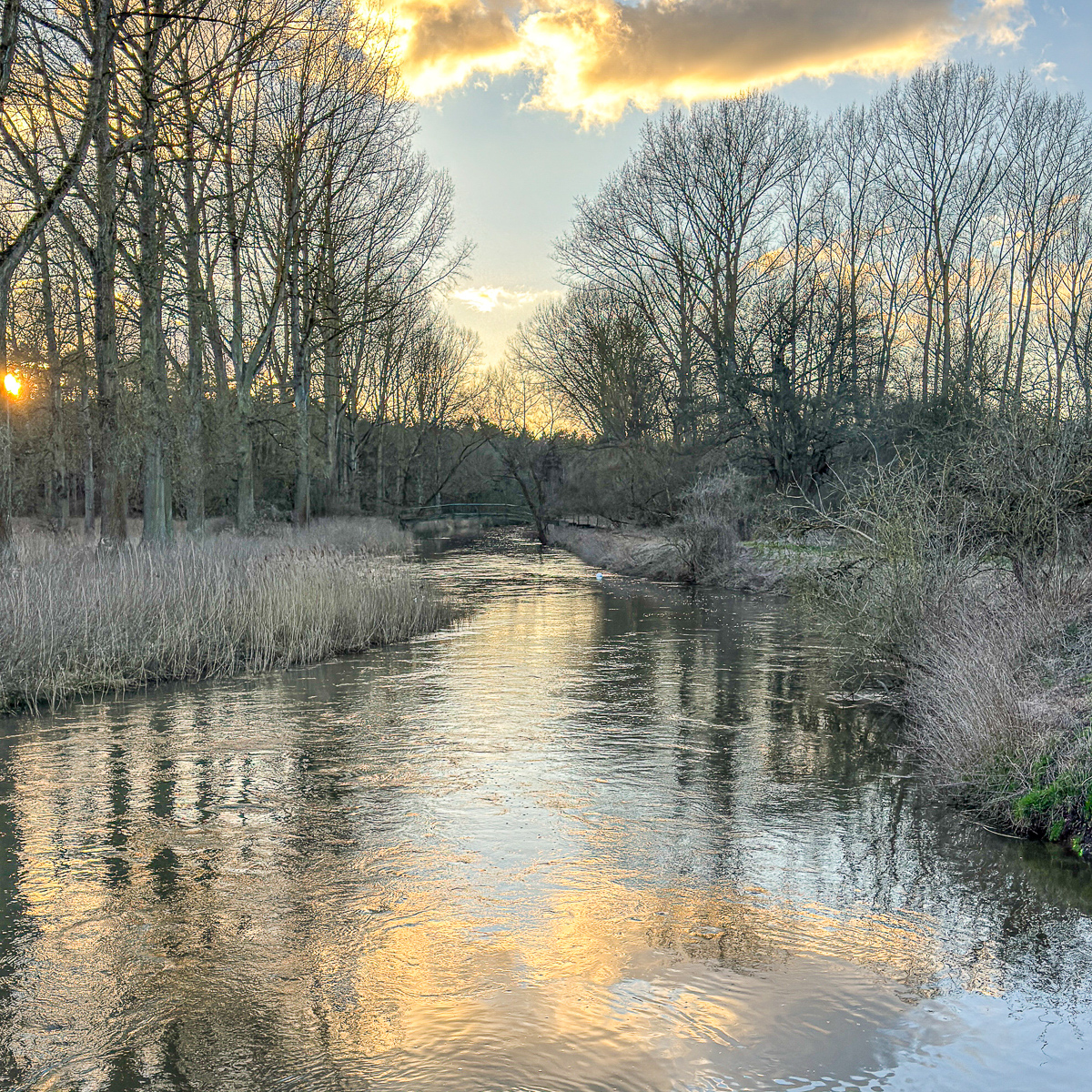
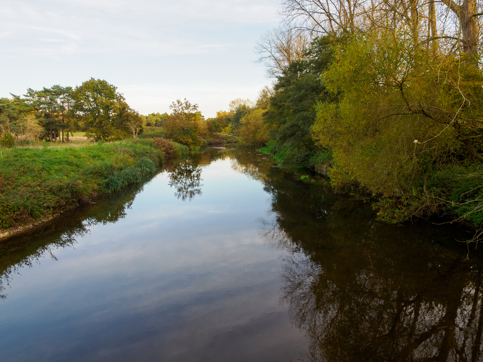
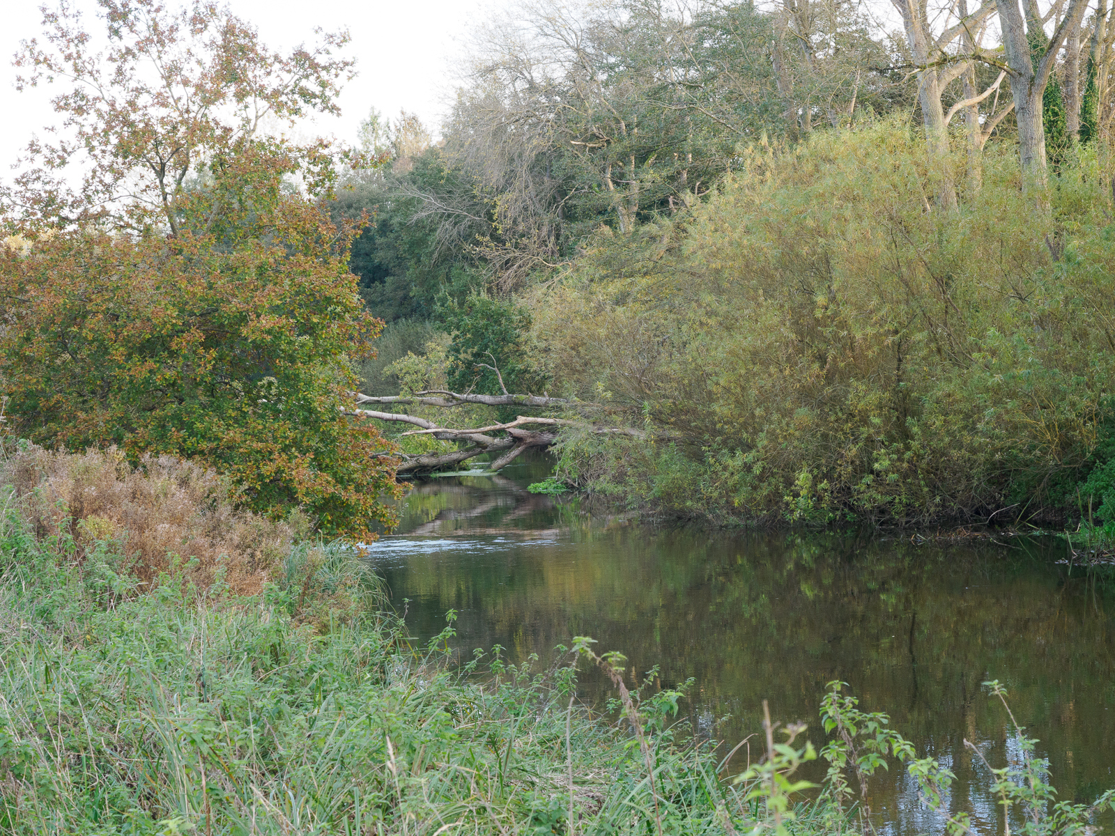
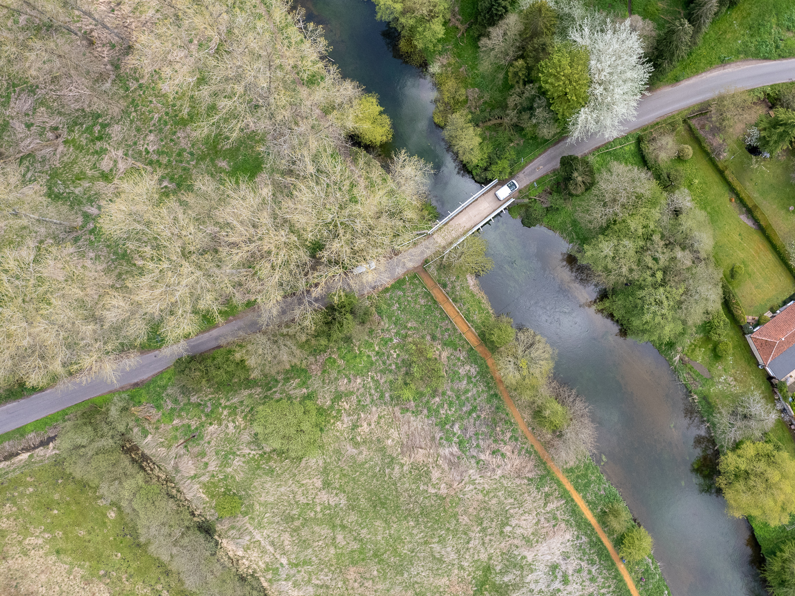
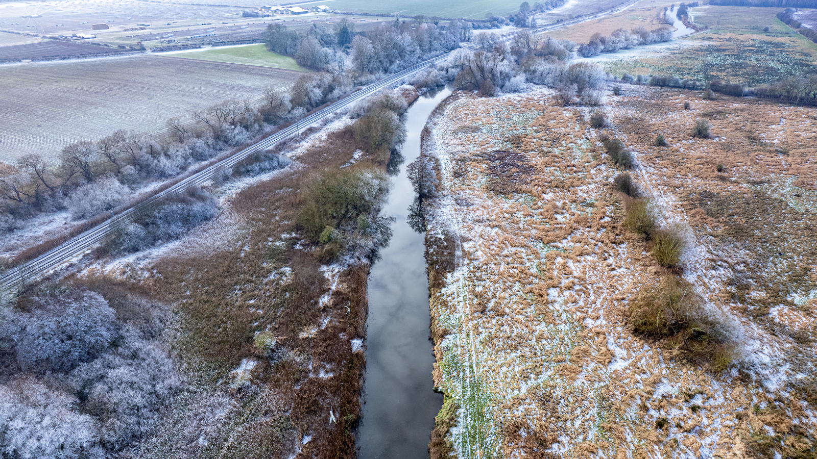
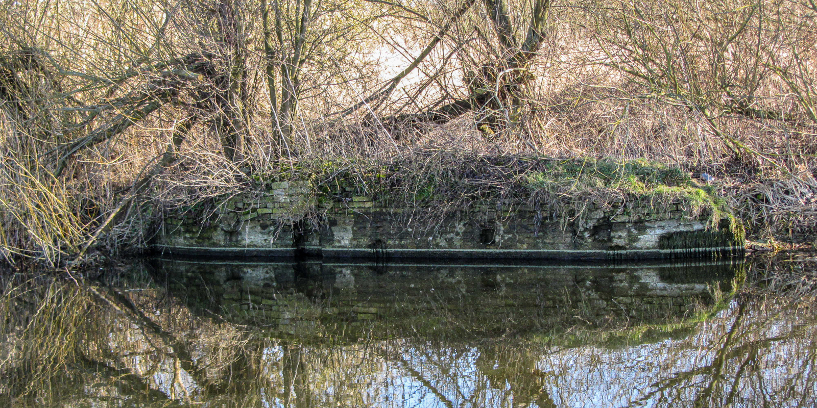
There are remains of original brickwork and masonry on the south bank. The north bank, from where the modern steel footbridge springs, is supported by sandbags with little evidence of the original structure.
Jon Wilson-Bright visited the site in September 2019, when the water levels in the Little Ouse were exceptionally low. The stone bank structure of the former staunch was more visible than normal, and some remnants were exposed on the river bed.
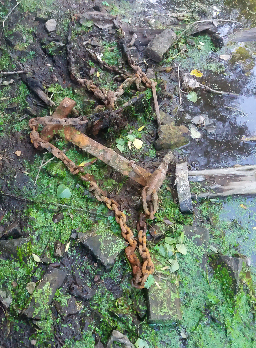
Later images by Andy Carter
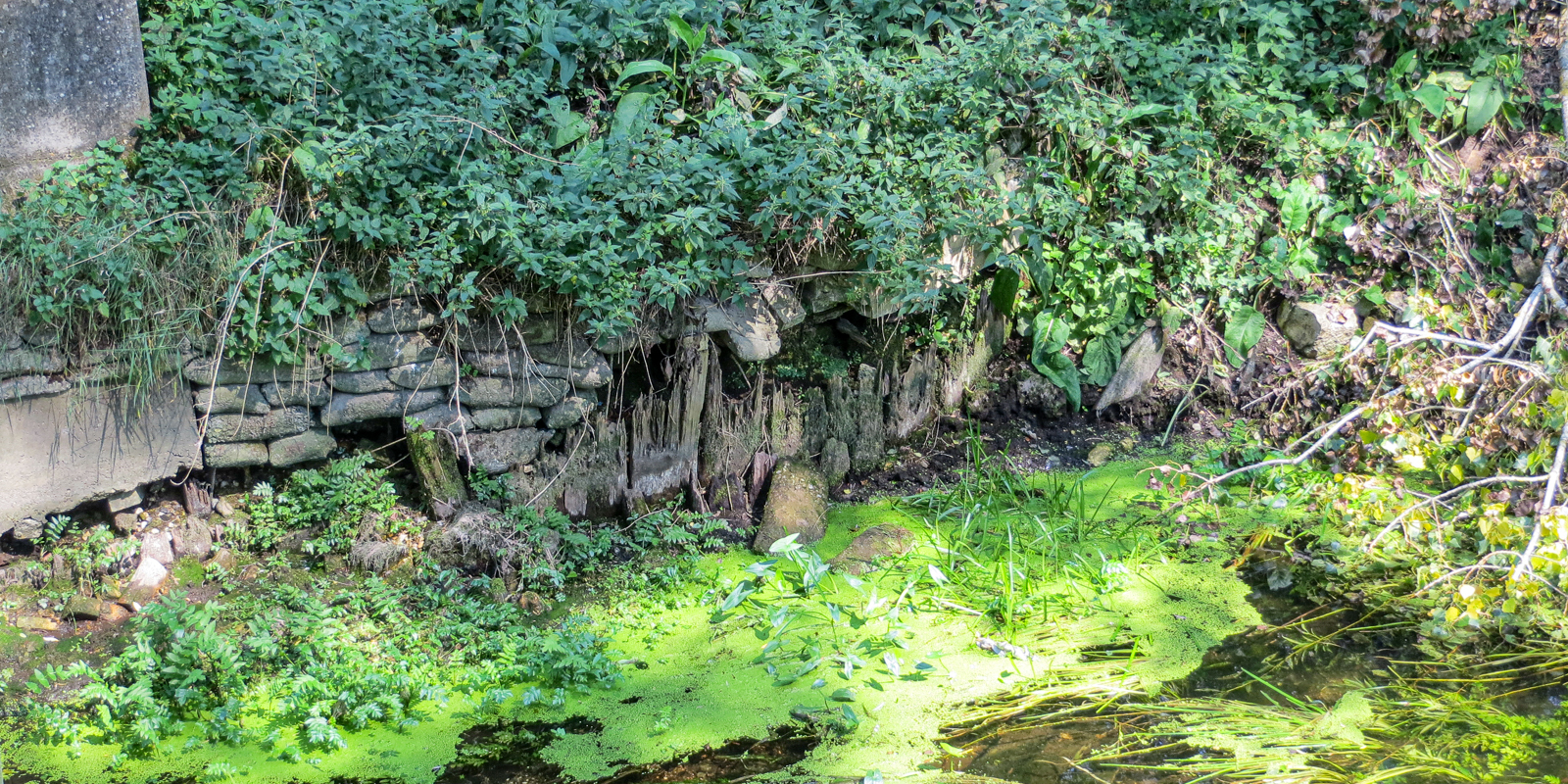
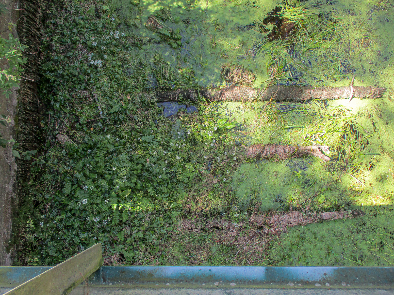
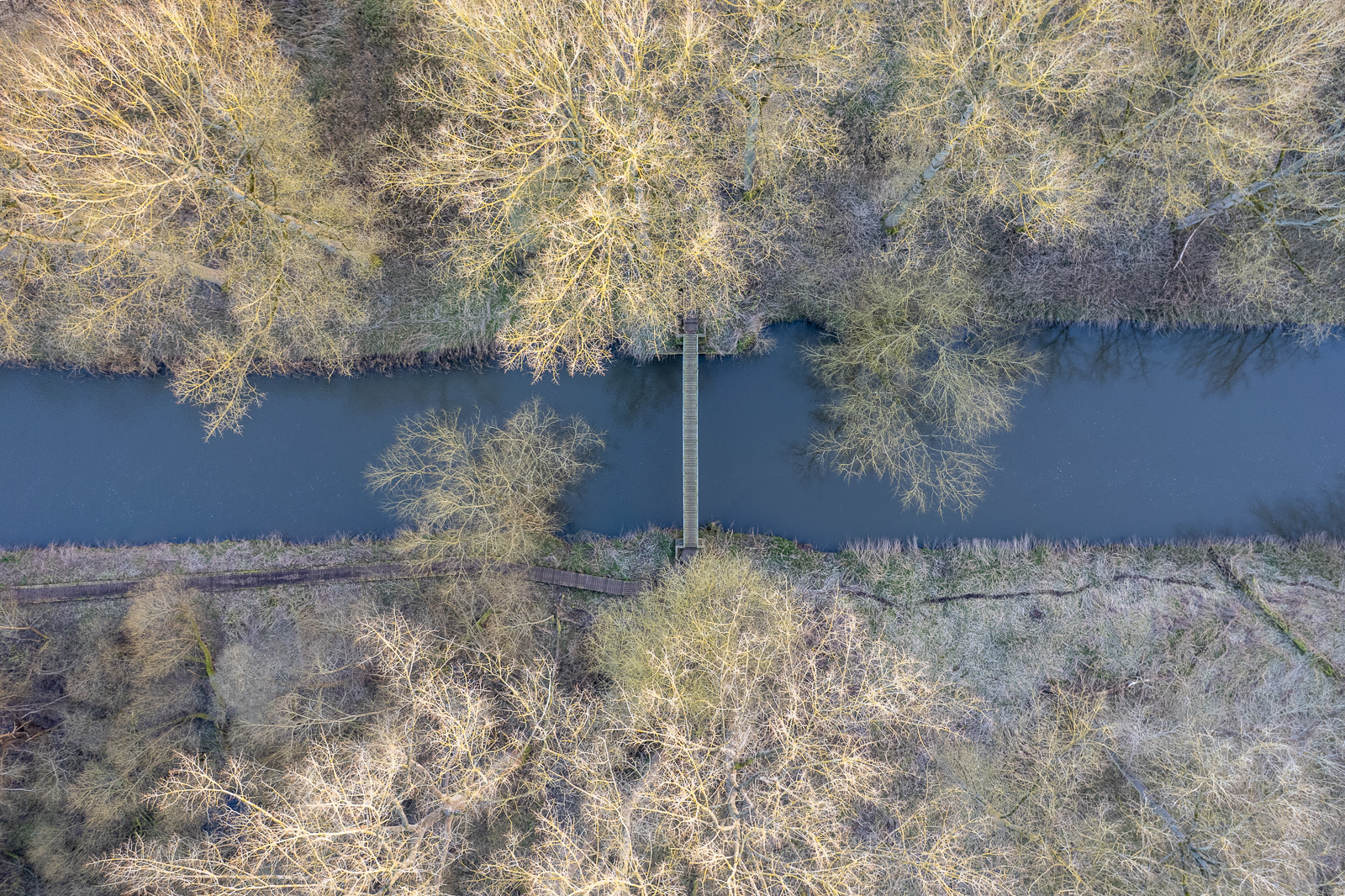
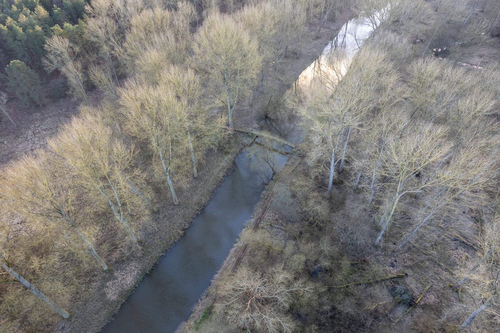
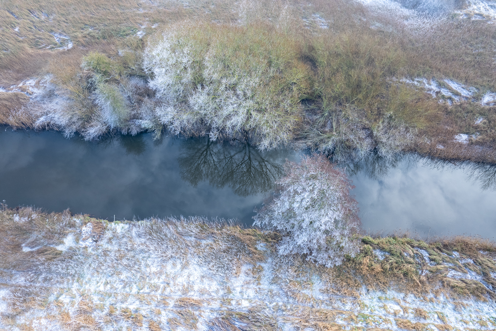
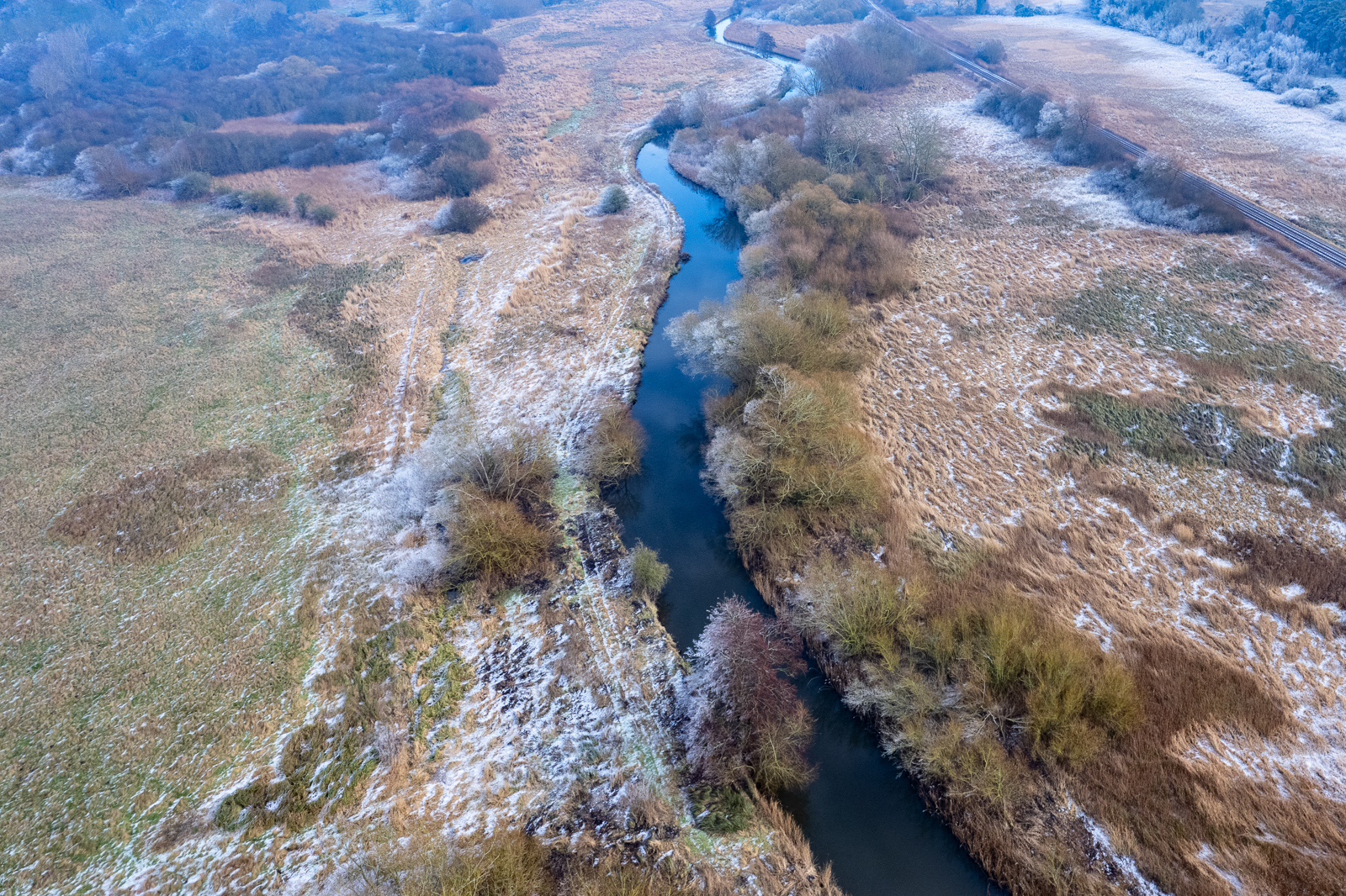
… and some drone images from Alan Clarke.
St. Helen’s Well branch
Grid Ref. TL 8402 2873 Coordinates N52.45260 E0.70668 (enters Little Ouse)
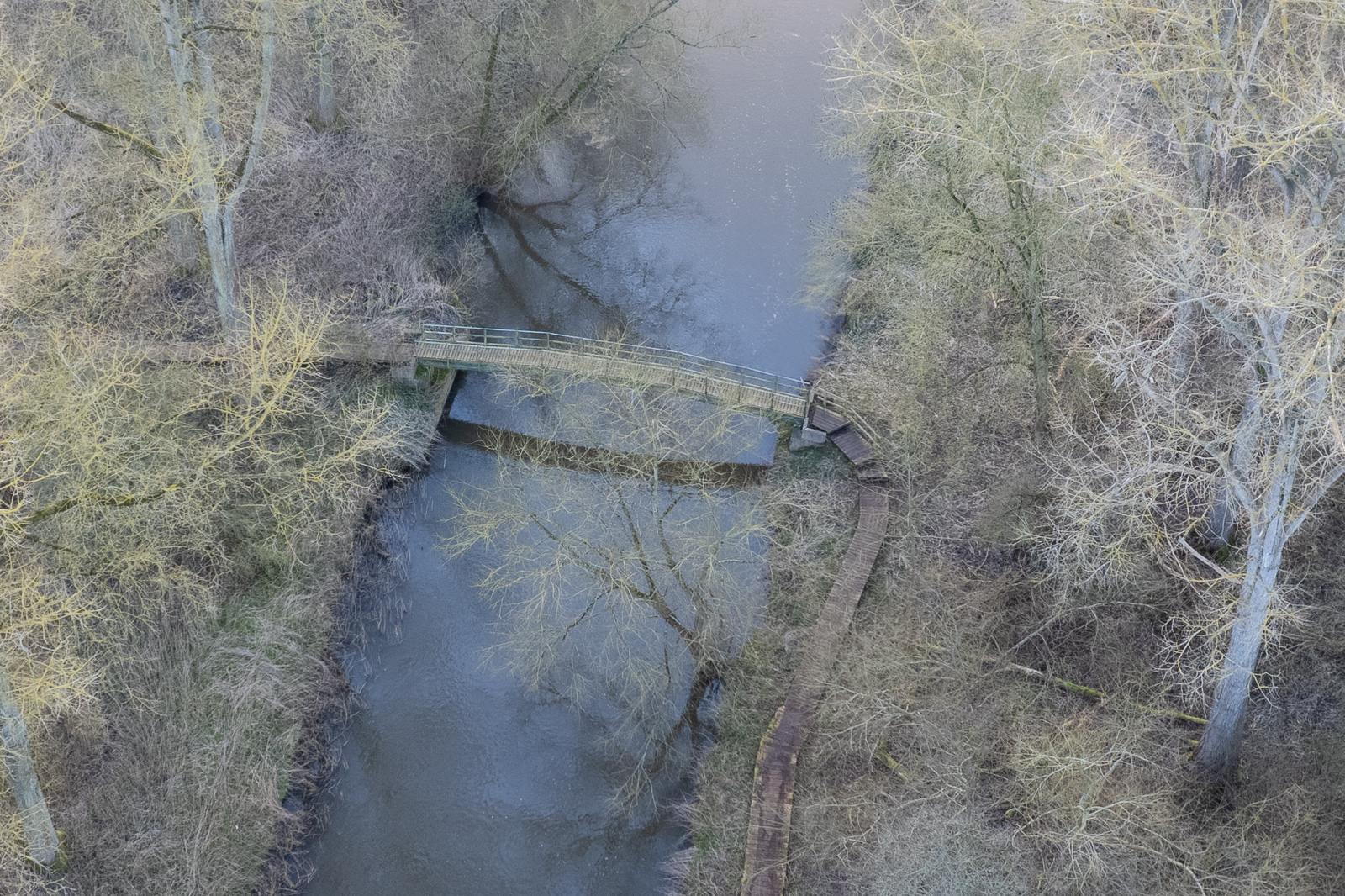
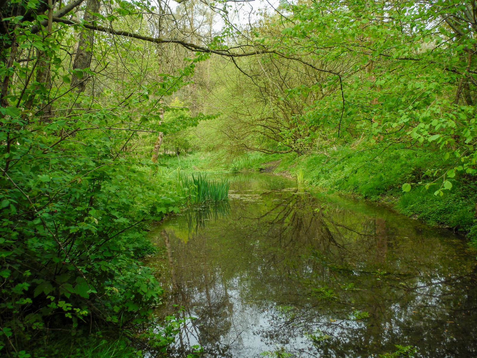
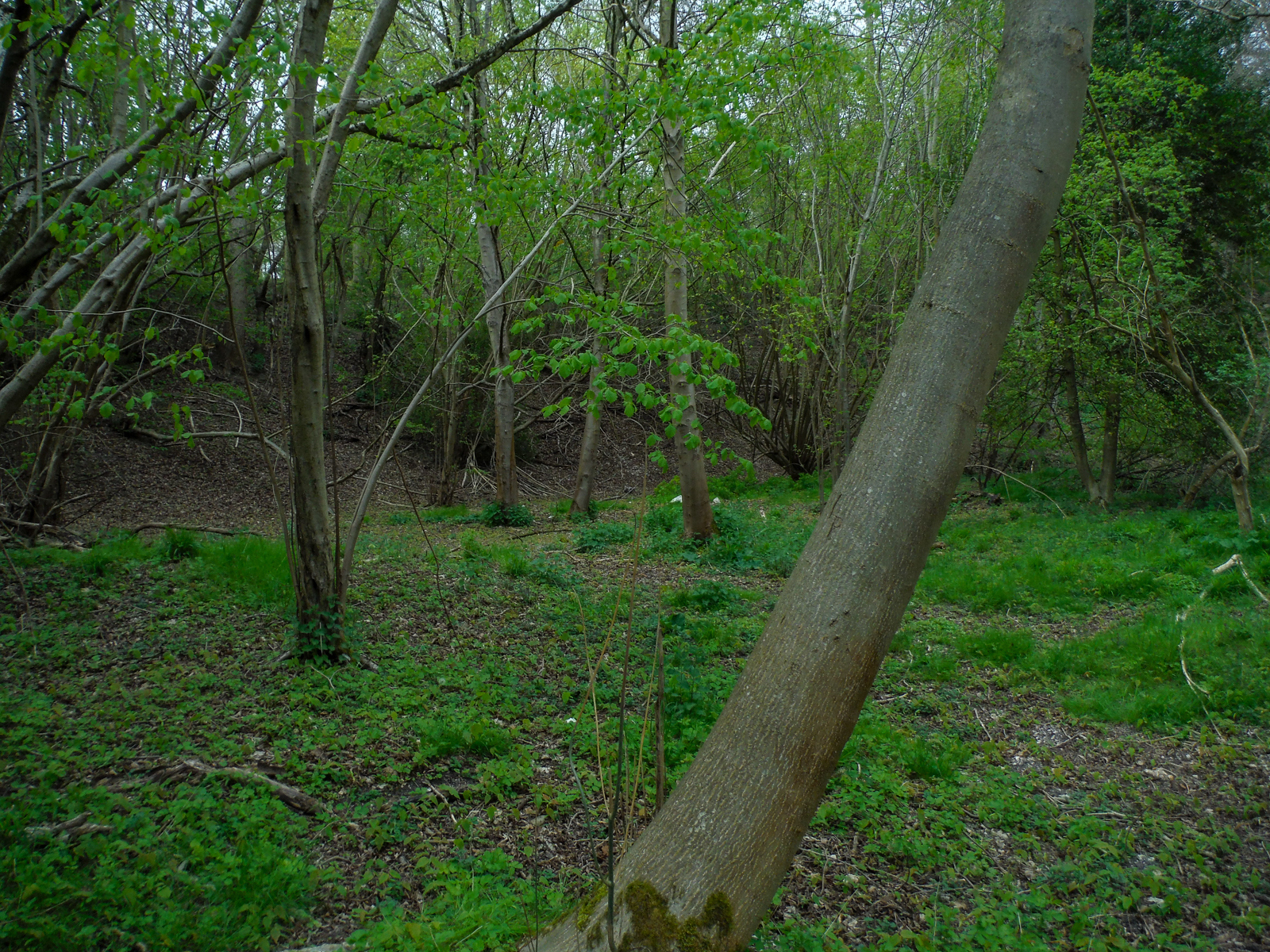
A very short tributary flows into the Little Ouse from St. Helen’s Well, upriver from the Santon staunch site. This is now a mere trickle.
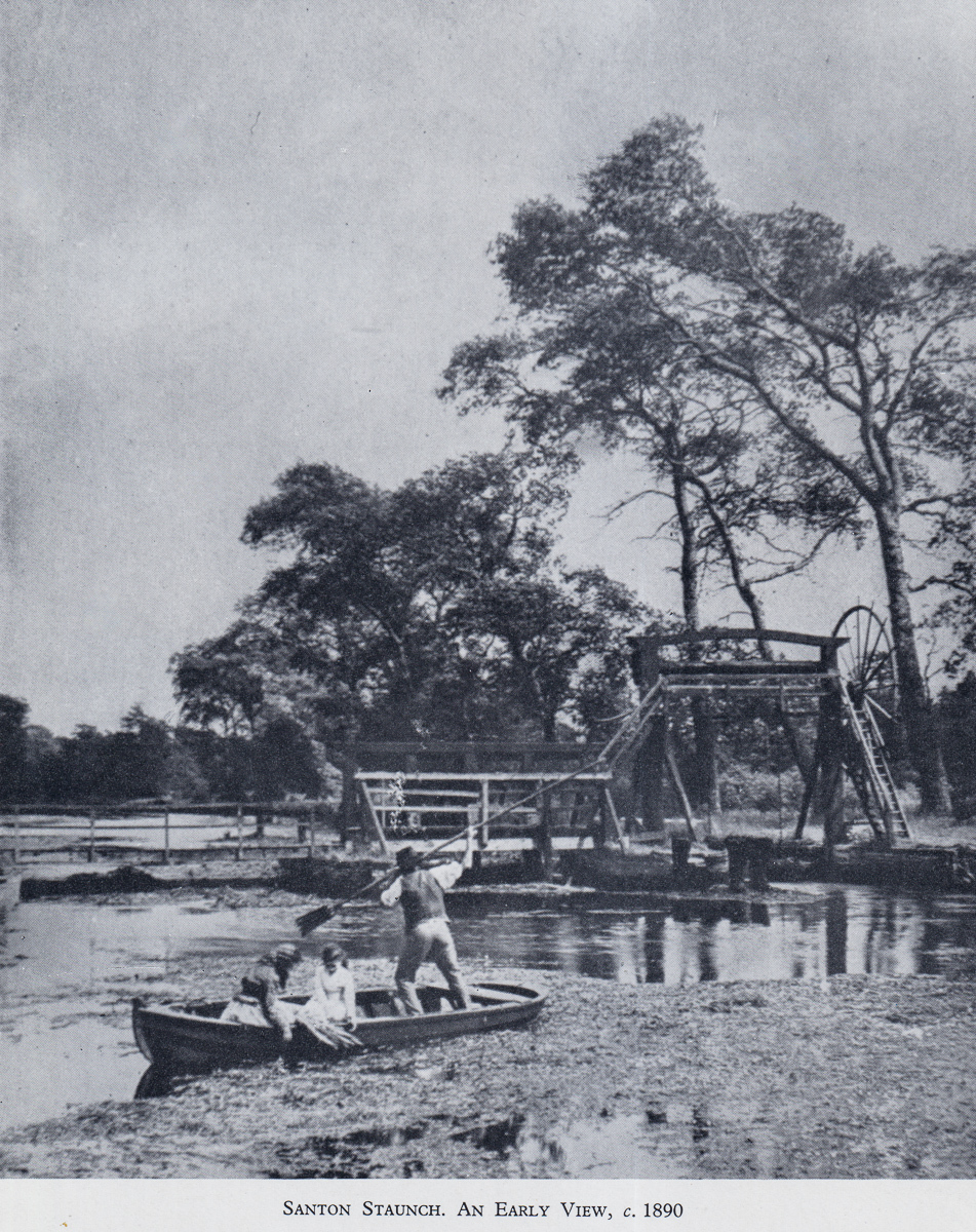
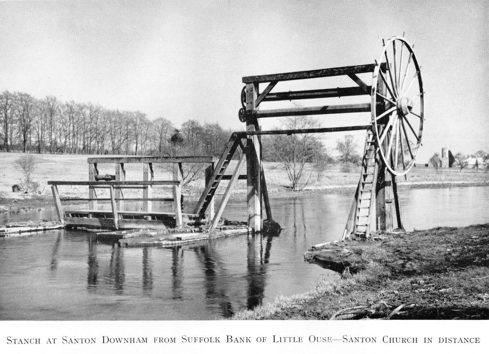
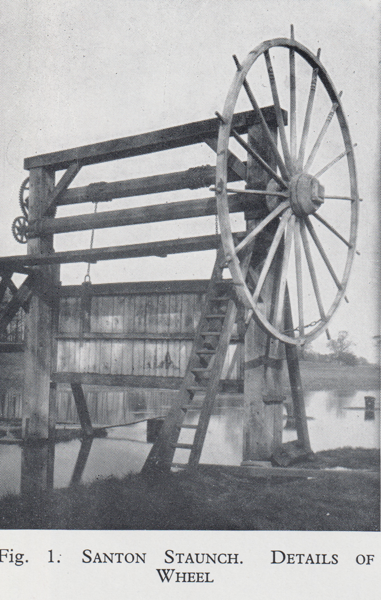
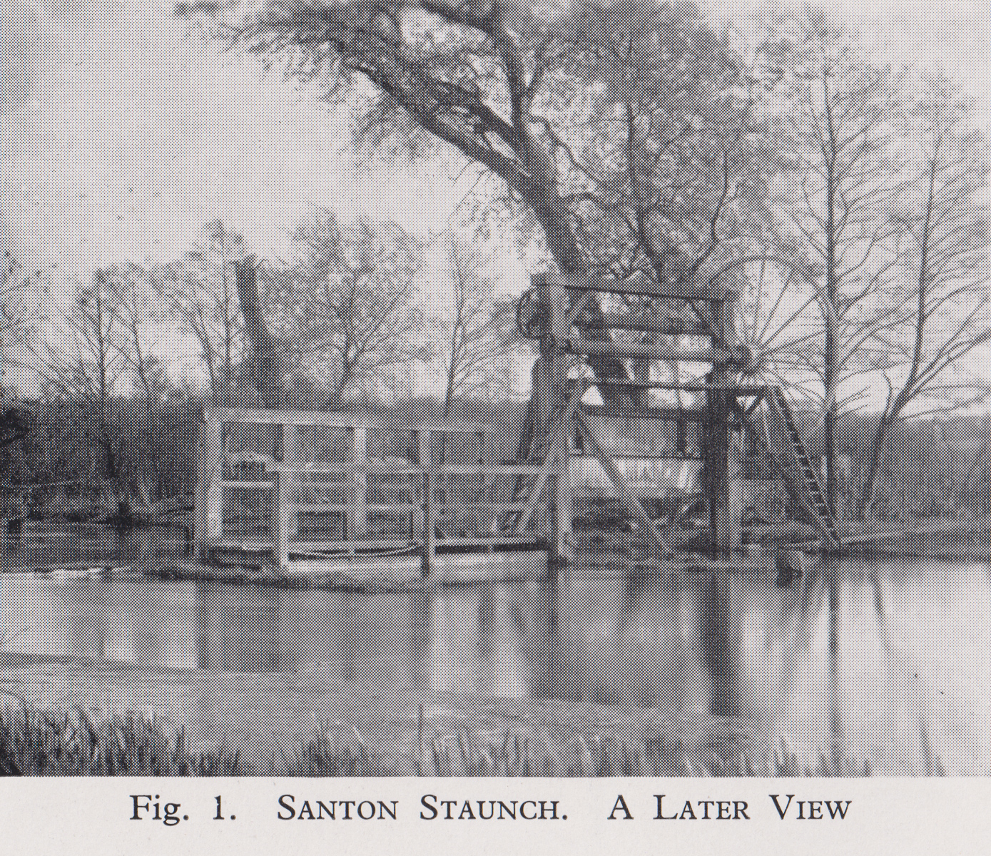
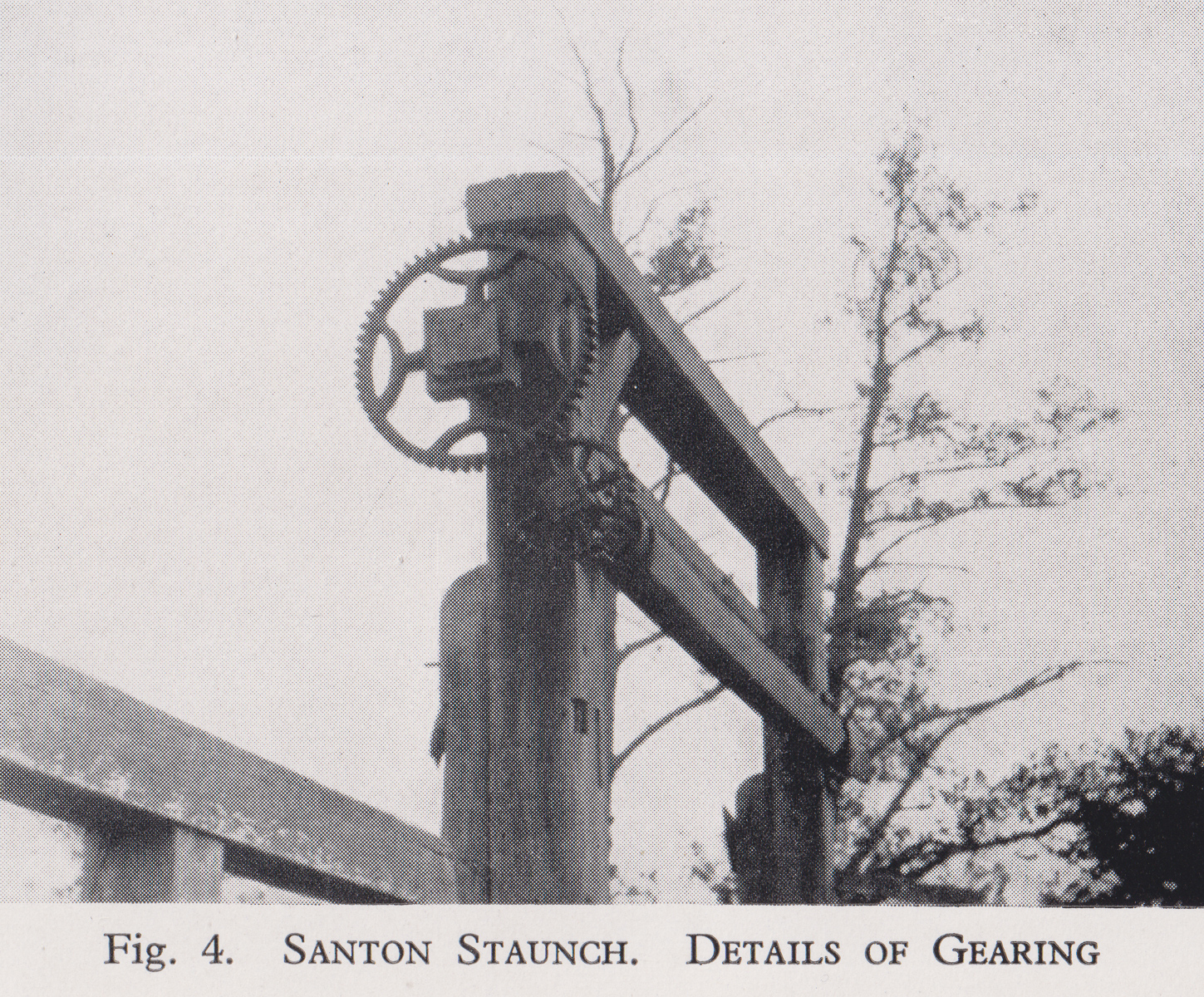
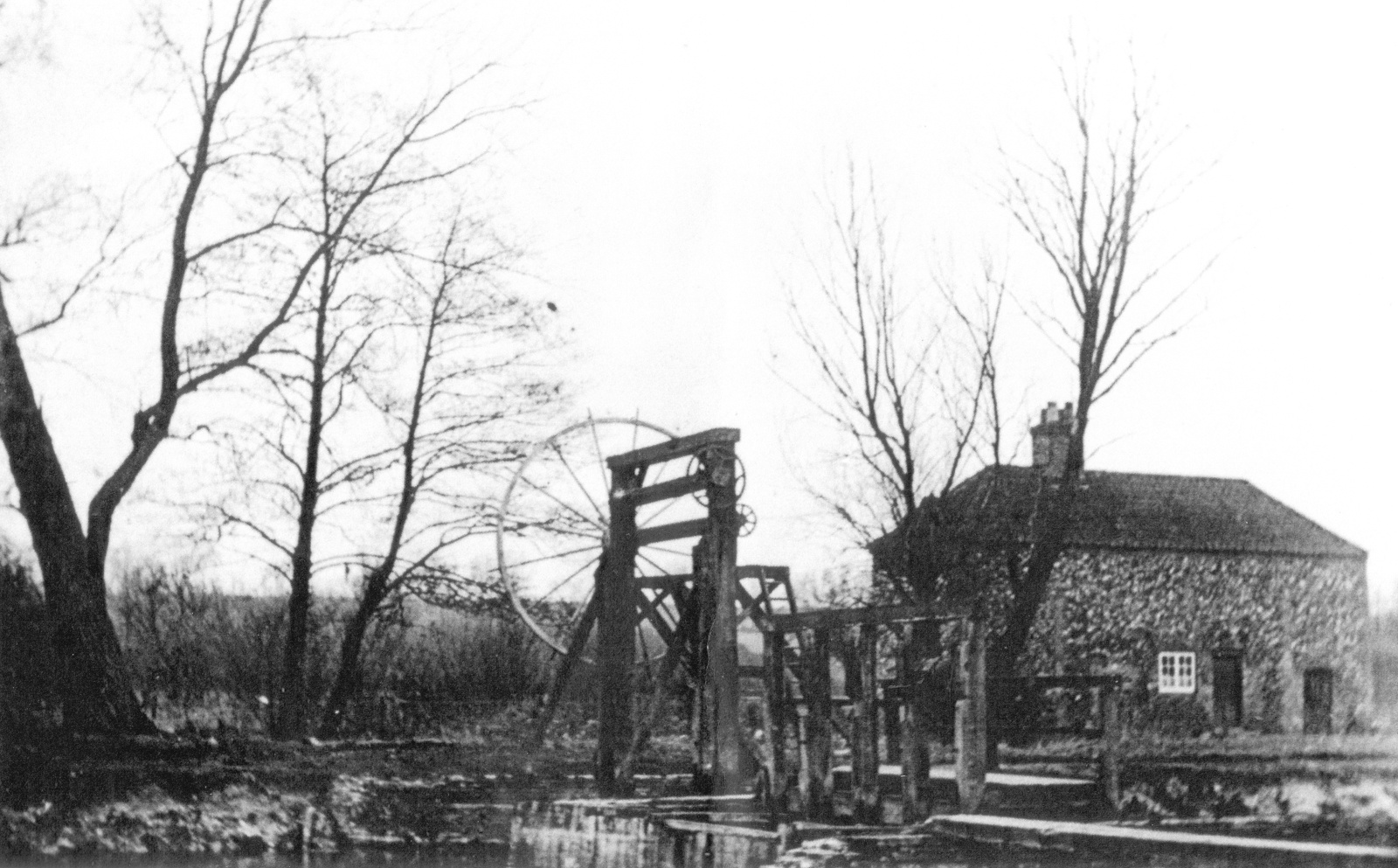
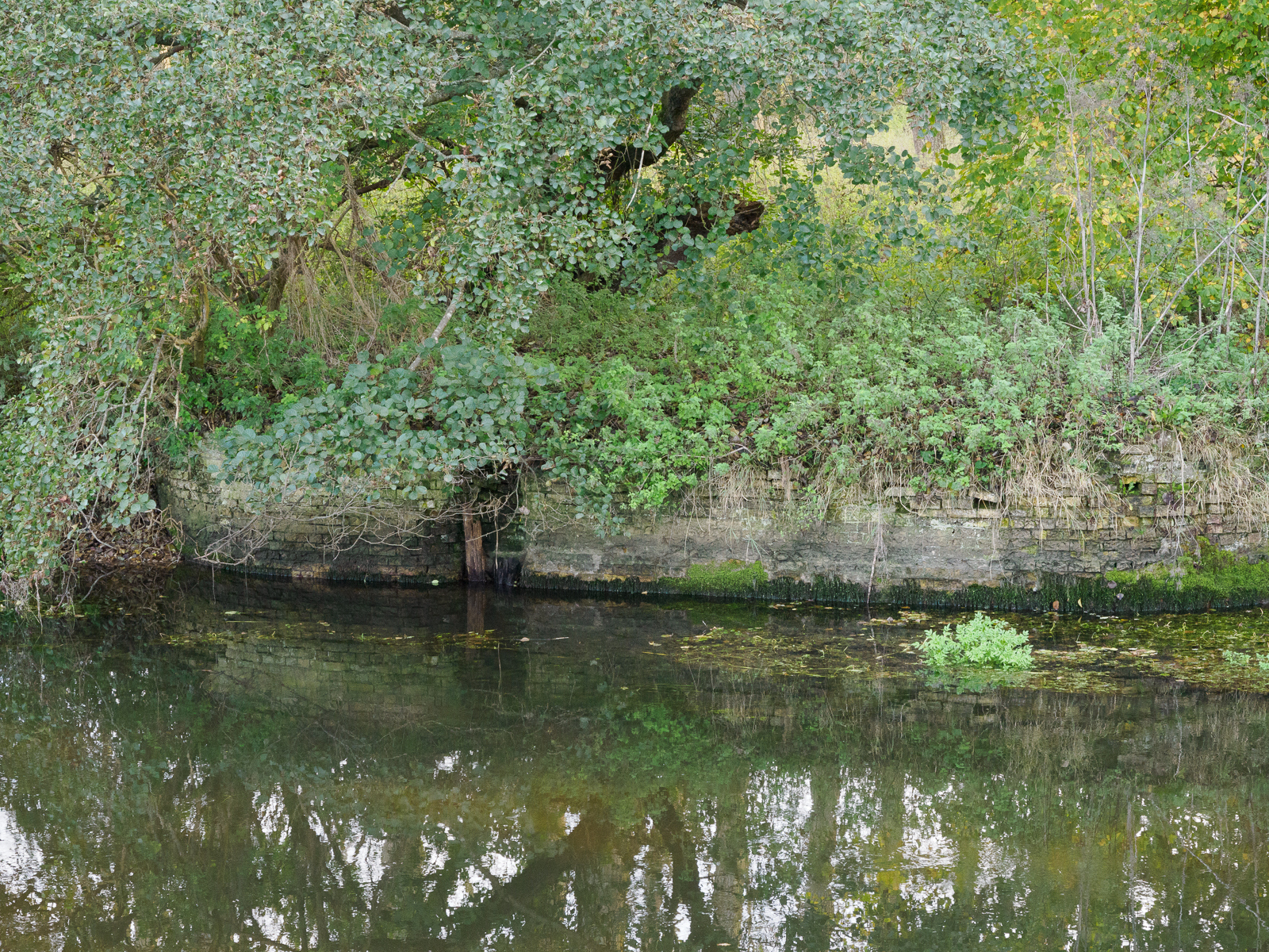
Santon Staunch
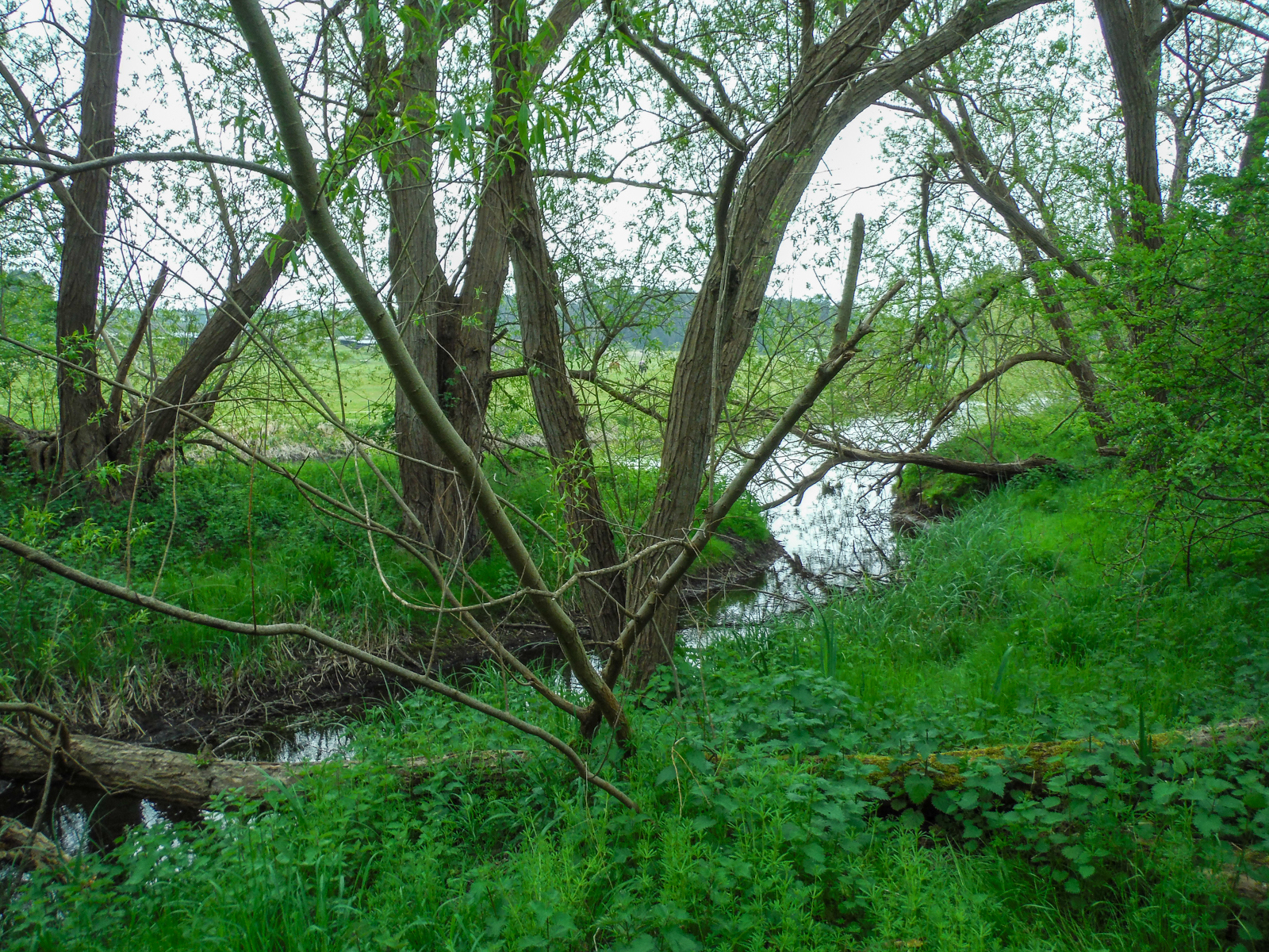
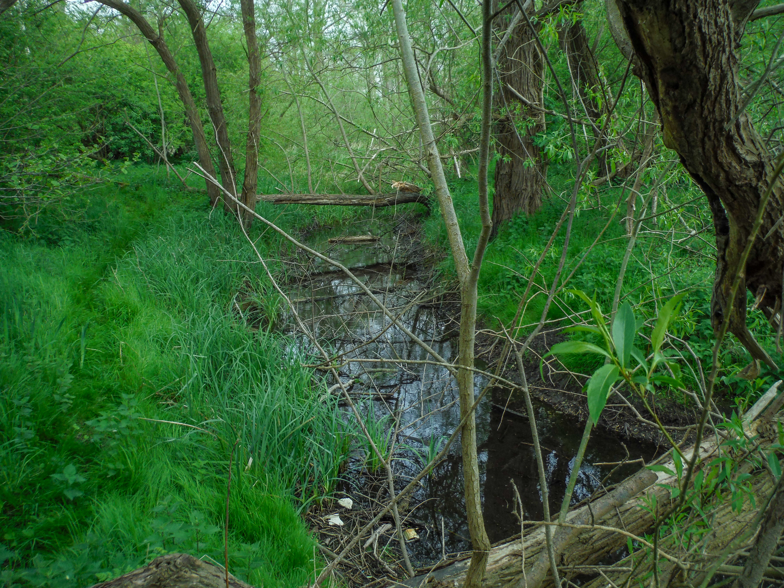
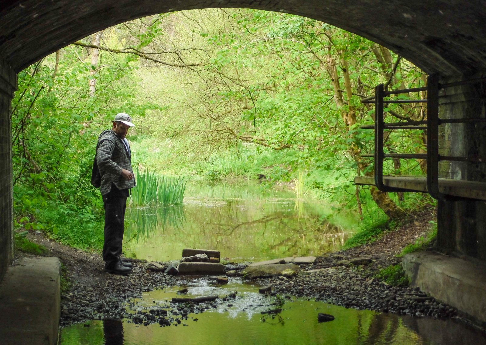
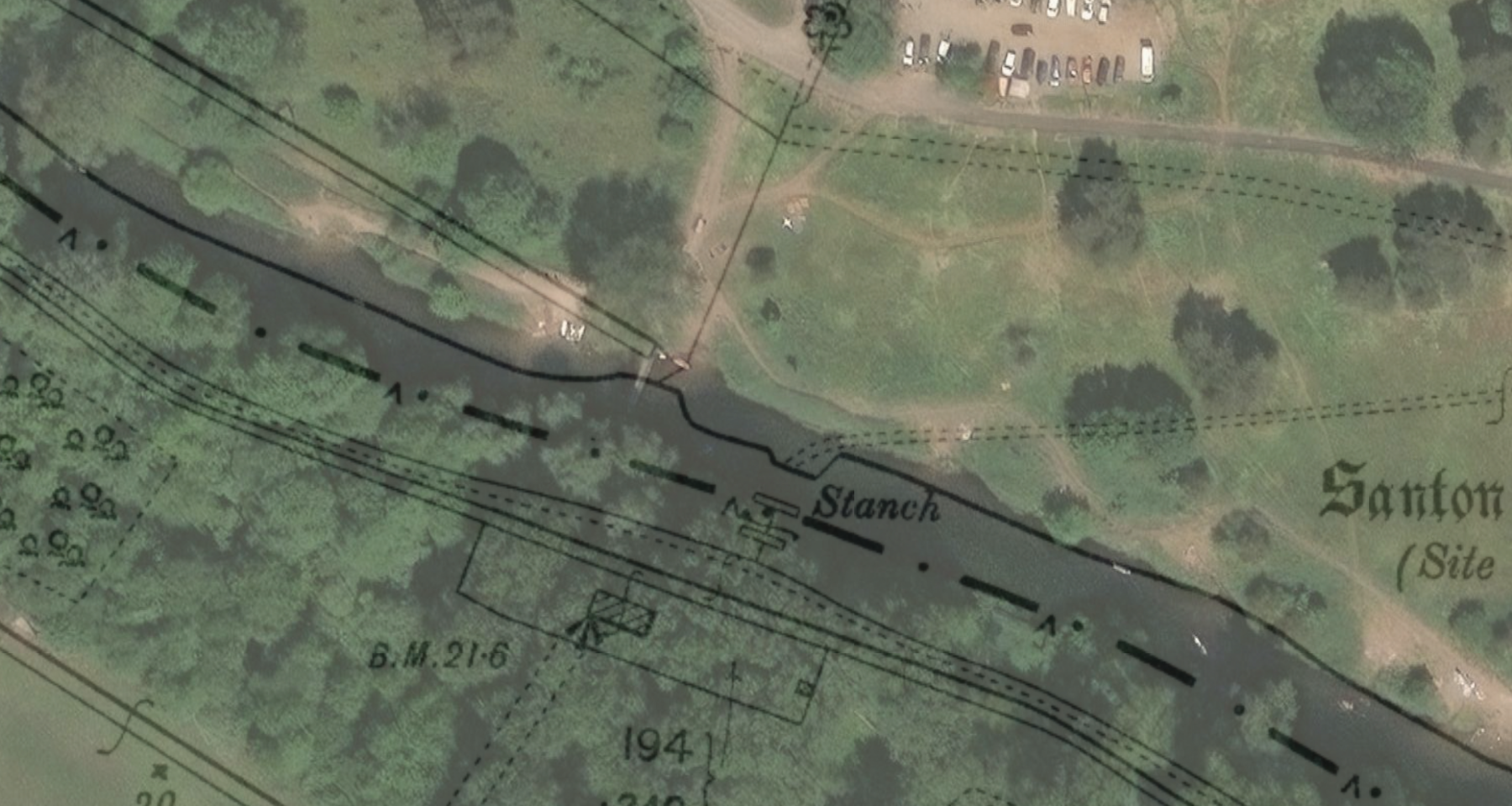
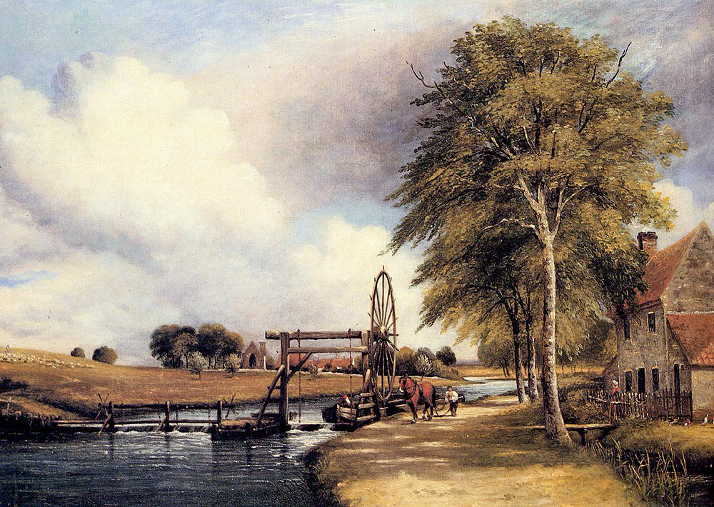
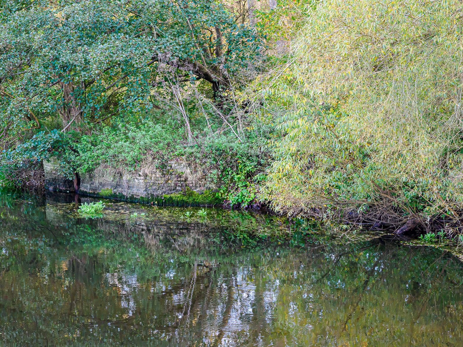
Grid ref. TL 8252 8728 Coordinates N52.45302 E0.6846
Some brickwork remains on the south bank, close to the picnic site footbridge, with possibly some further remains to the north bank. All traces of the islands have been removed. This staunch had a keeper and keeper’s cottage but there are no obvious remains of these, just possible impressions/footprint of a building visible in some conditions.
St Helens Picnic Site
Grid Ref. TL 8402 8739 Coordinates N52.45352 E0.70683
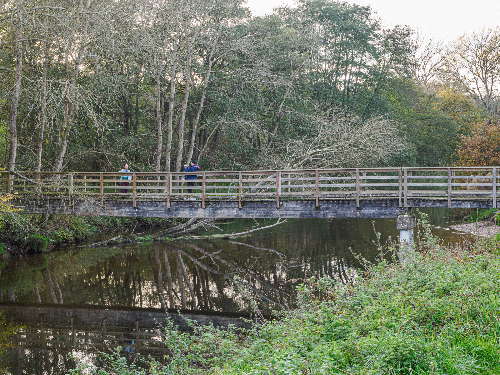
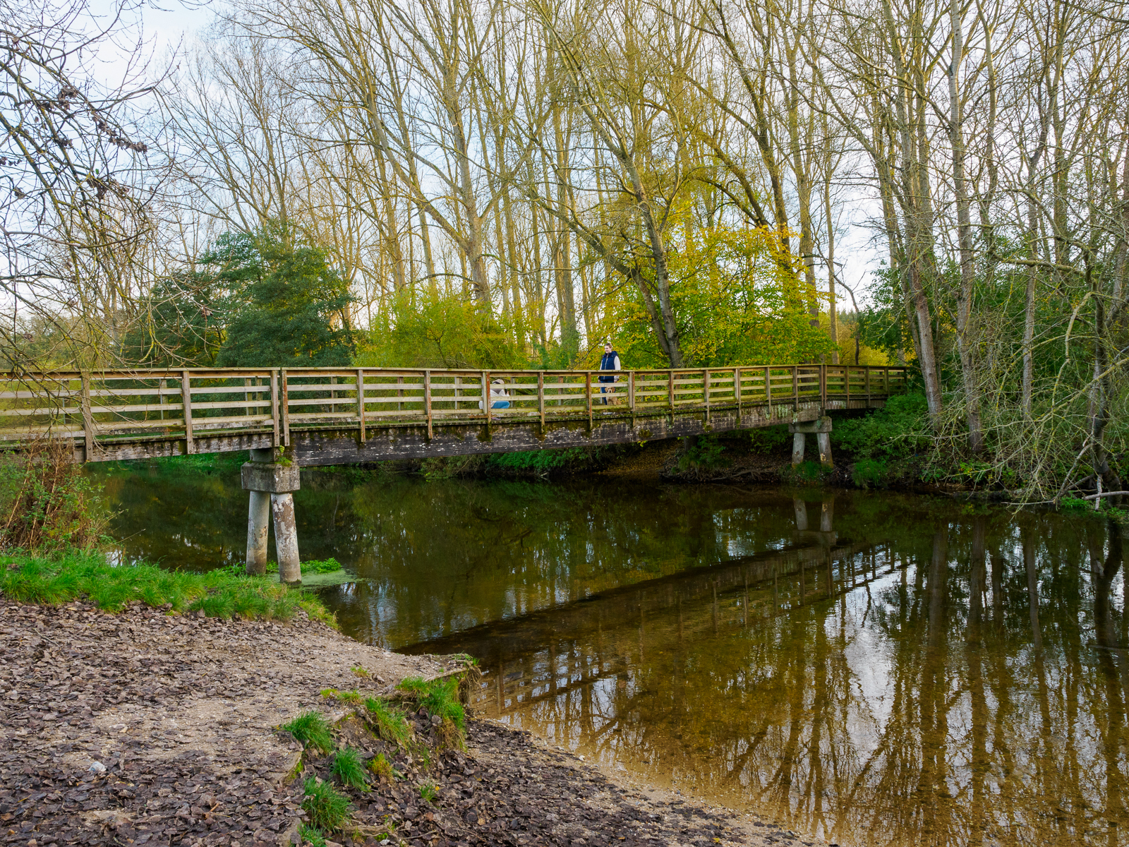
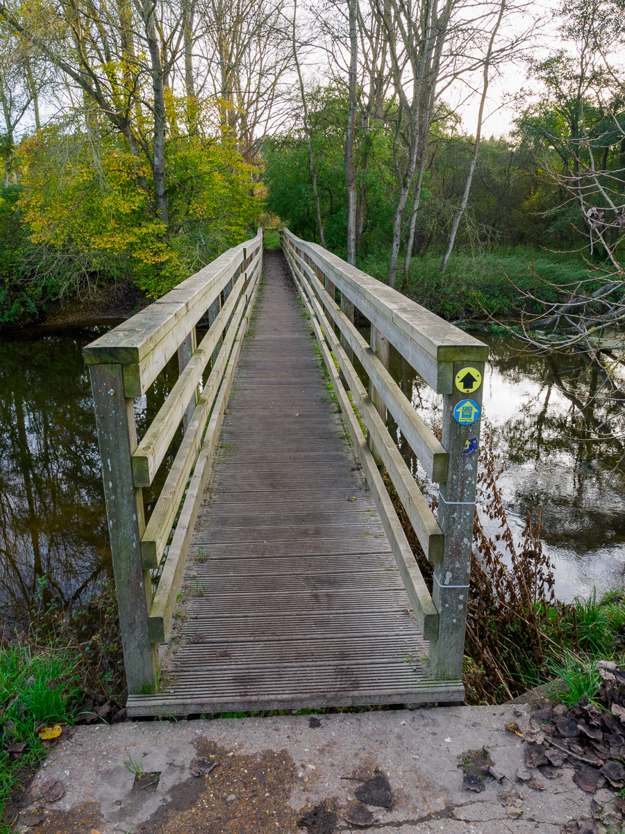
Almost hidden by the present wooden footbridge, and on either side of it in mid-stream, are the remains of two groups of four large posts arranged in a square. These are believed to be supports for a vehicular bridge built when Santon Downham was isolated and occupied by the military during WW2. The concrete road on the south side of the river is still known as the ‘military road’.
Santon Downham Road Bridge
Grid ref. TL 817 878 Coordinates N54.45846 E0.67364
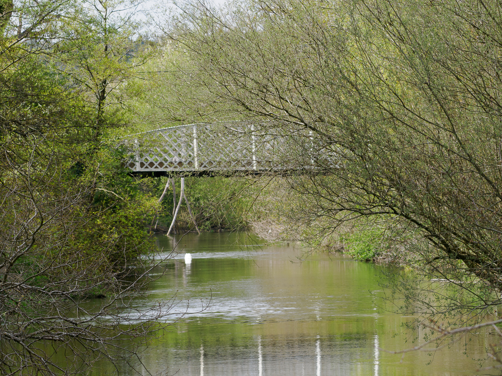
There have been many claims that the Belfast truss bridge at Santon Downham was erected early in WWI by the Canadian Forestry Corps who were felling and milling timber as part of the war effort. In fact the Canadians didn’t arrive in Santon Downham until 1918-19 whereas the bridge seems to date from the late 1880s.

Brandon Bridge
Grid ref. TL 783 687 Coordinates N52.45123 E0.62320
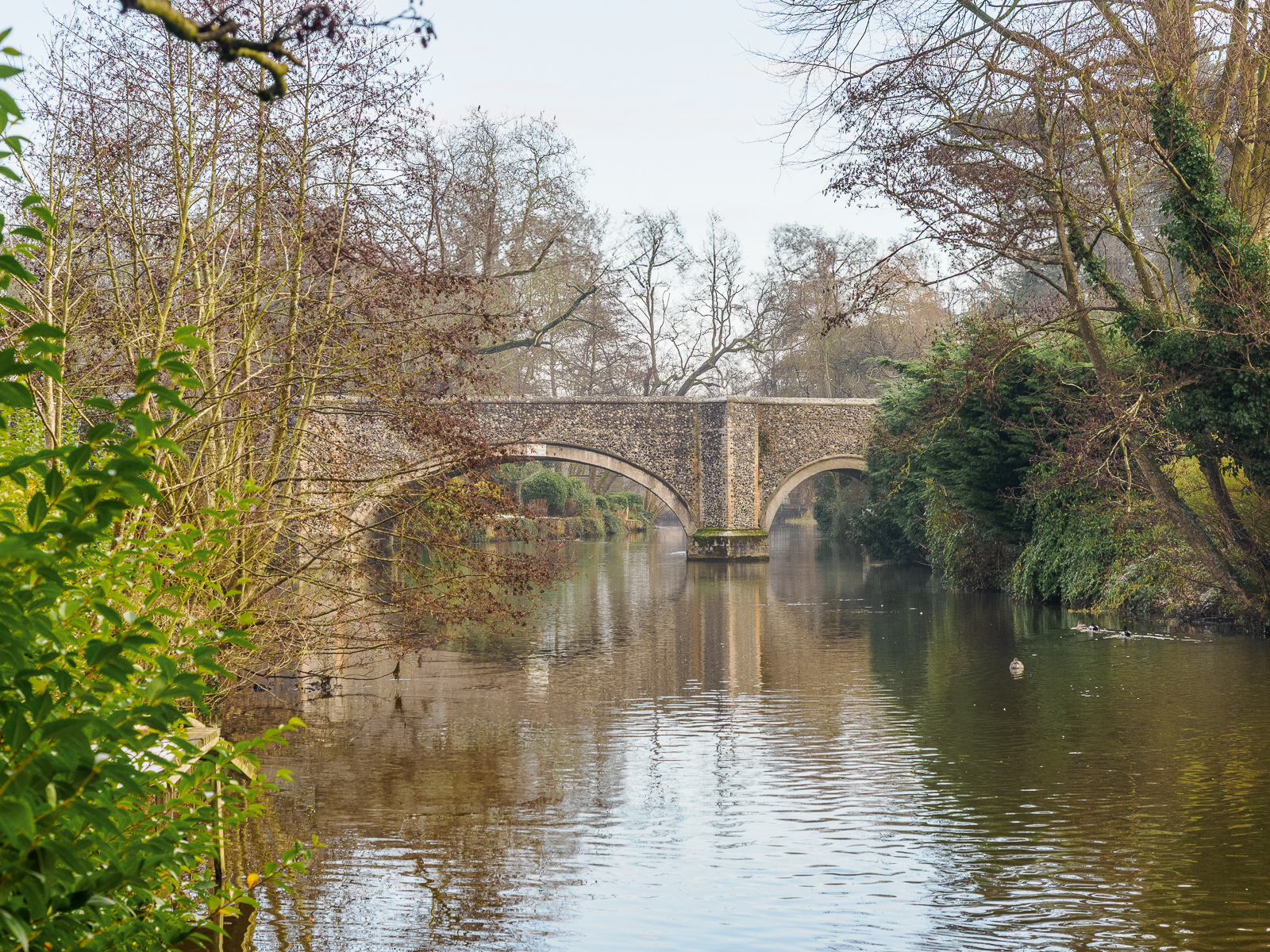
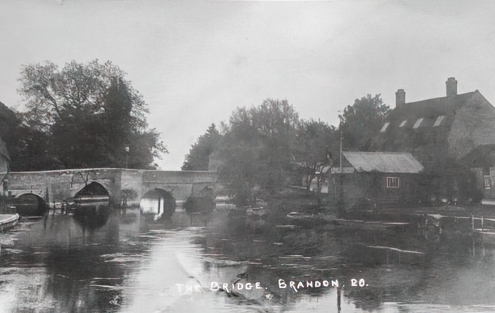
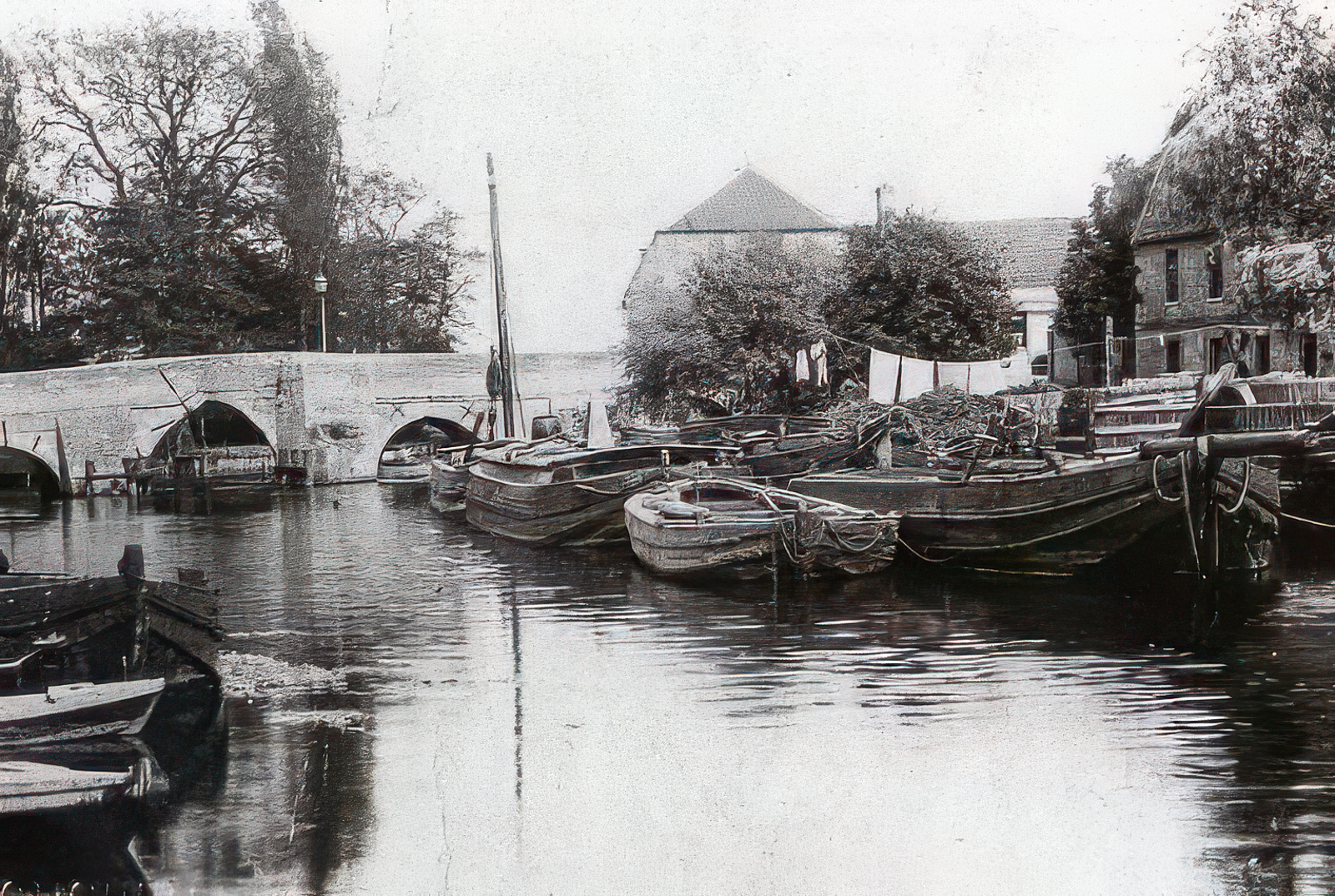
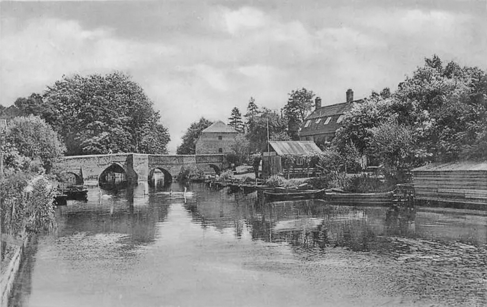
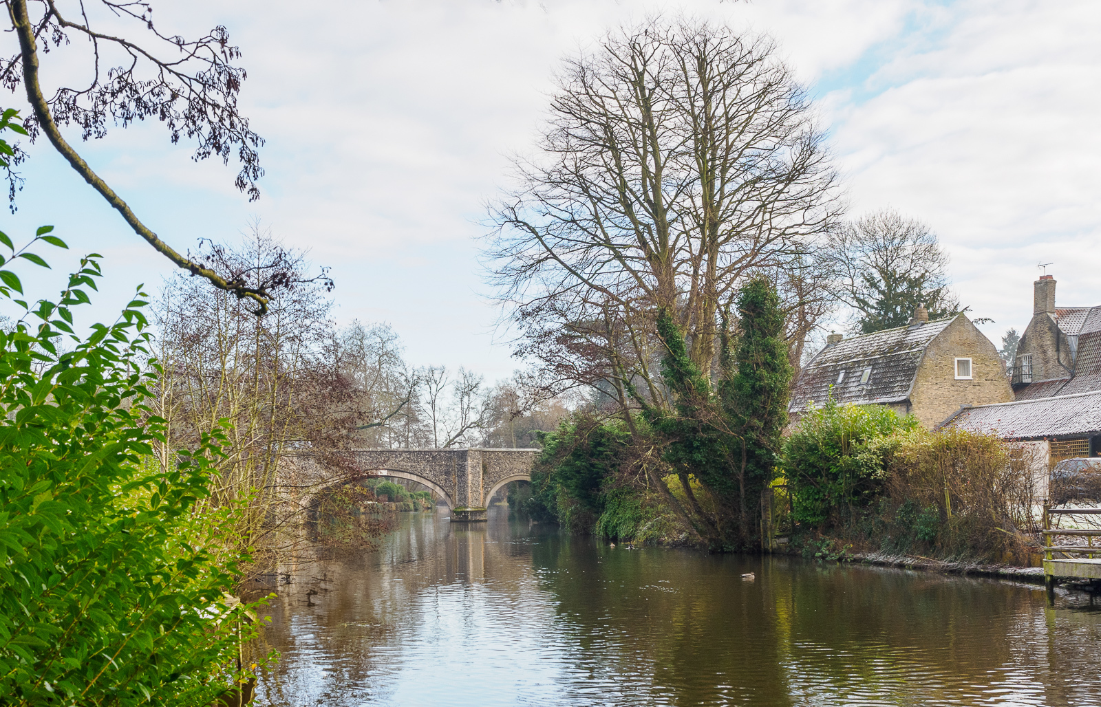
You can see from the old photographs that the old Brandon bridge had very narrow arches and was in poor condition. It was originally built in 1670, and replaced an ancient wooden causeway. The remains of about 1,000 wooden piles from the causeway were found during construction of the current bridge, which opened in 1954.

Brandon Staunch (early)
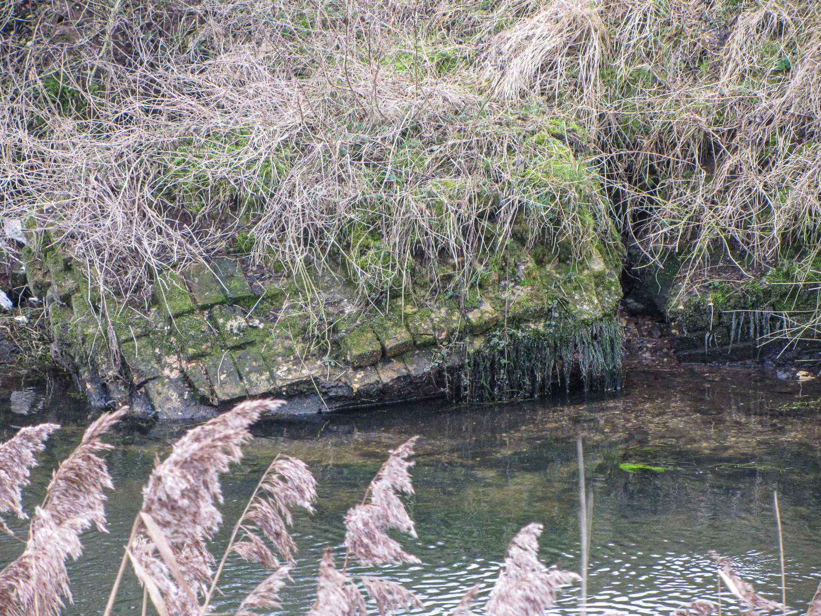
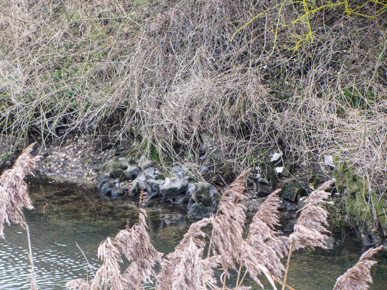
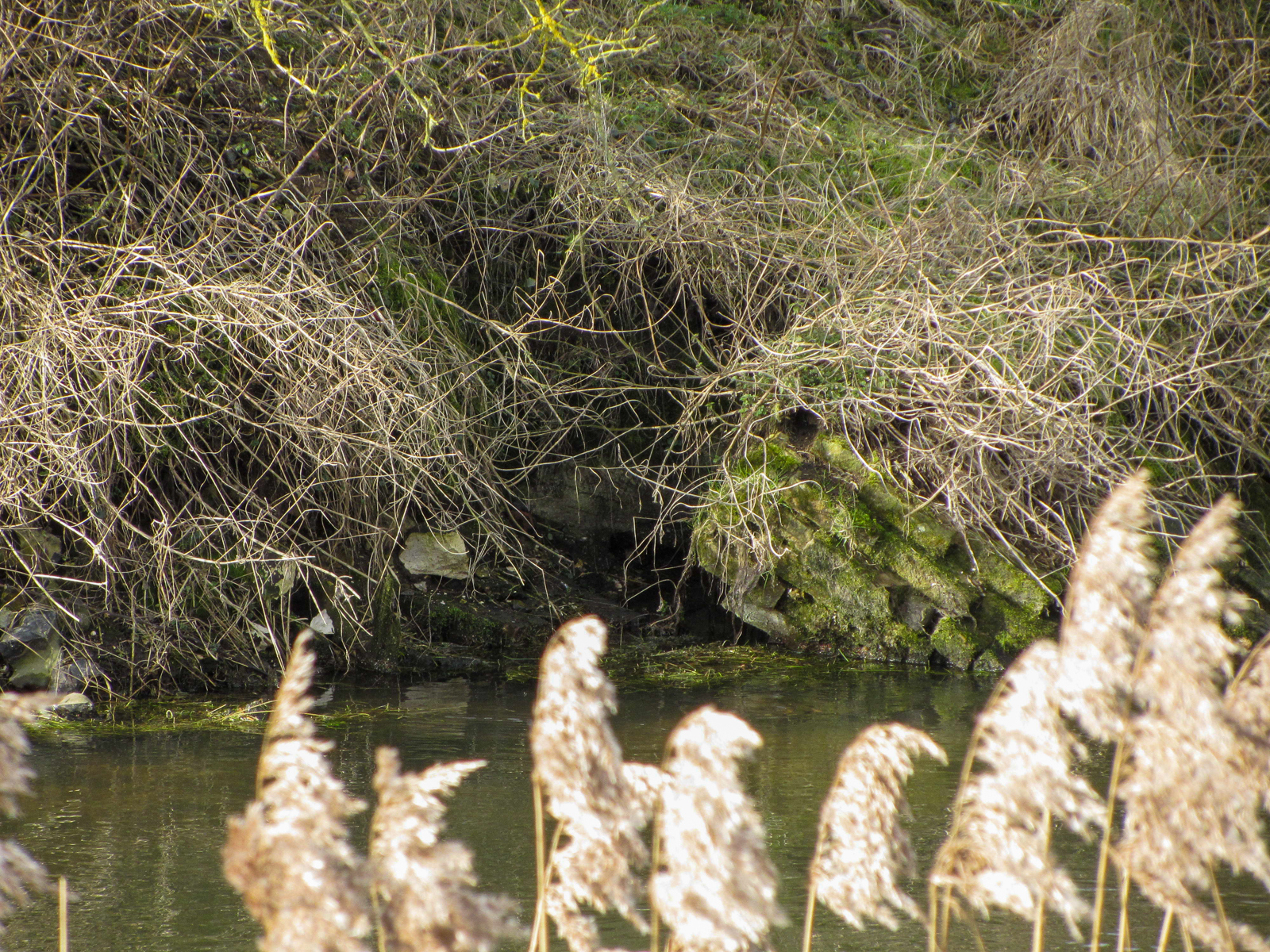
Grid ref. TL 7742 8684 Coordinates N52.45072 E0.60940
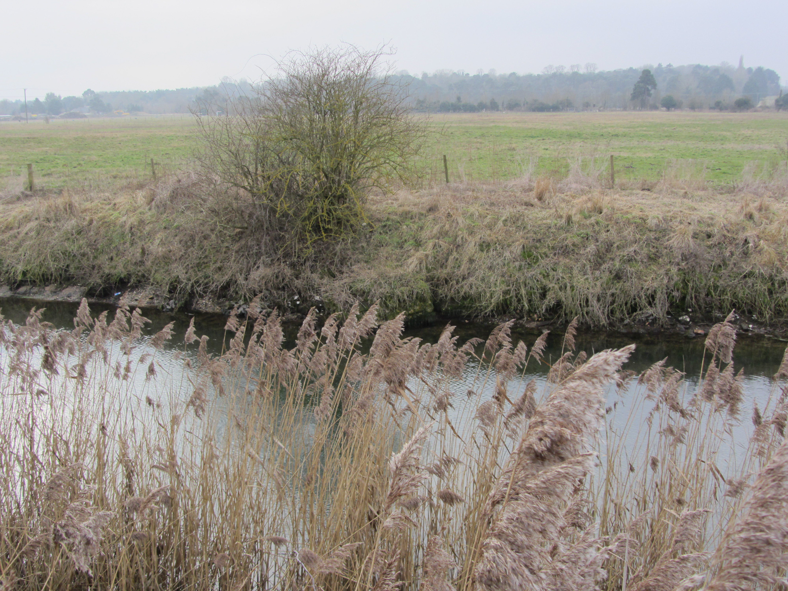
The first Brandon staunch was built before 1827, but we don’t know exactly when. It was known as Small Fen staunch. A mass of masonry rubble buried within the south bank can be seen from the path on the north bank in favourable conditions, and suggests a possible location.
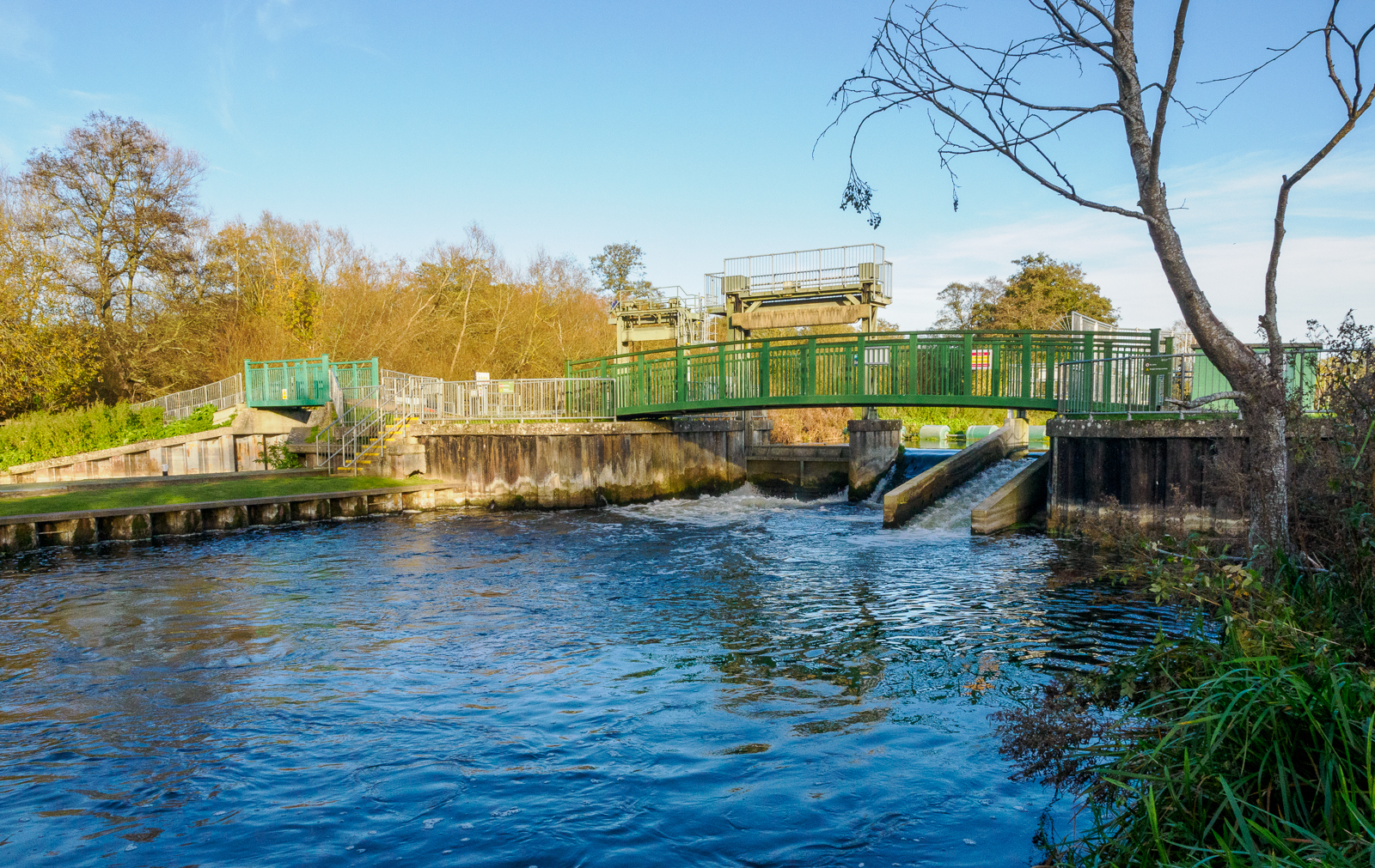
Brandon Staunch (later)
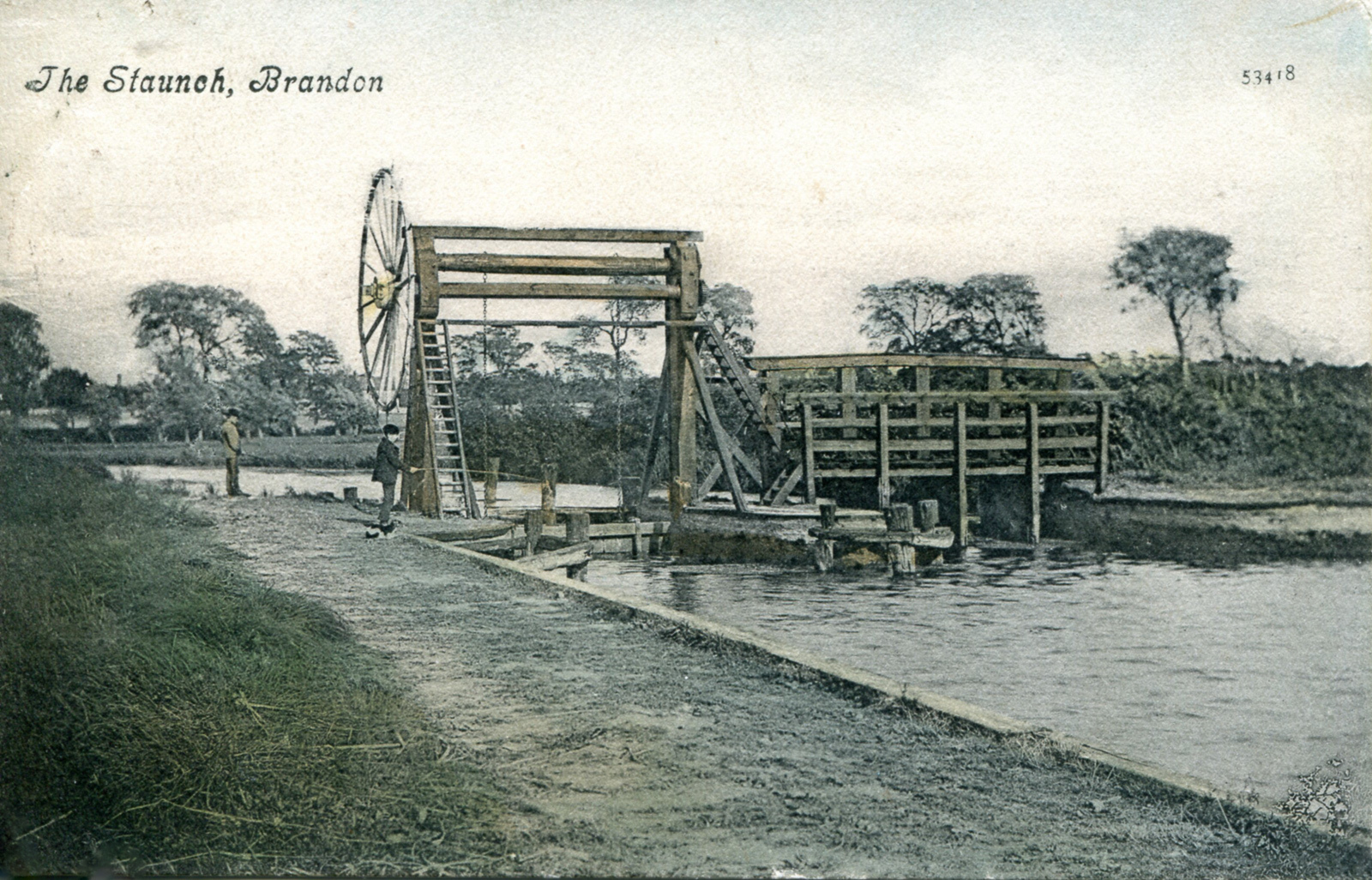
Grid ref. TL 7784 8667 Coordinates N52.45931 E0.61554
The 1827 replacement for Small Fen staunch was built on the site of the current Brandon lock and weir, so it is not surprising that no visible traces remain of that earlier construction.
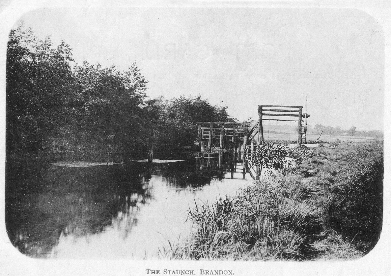
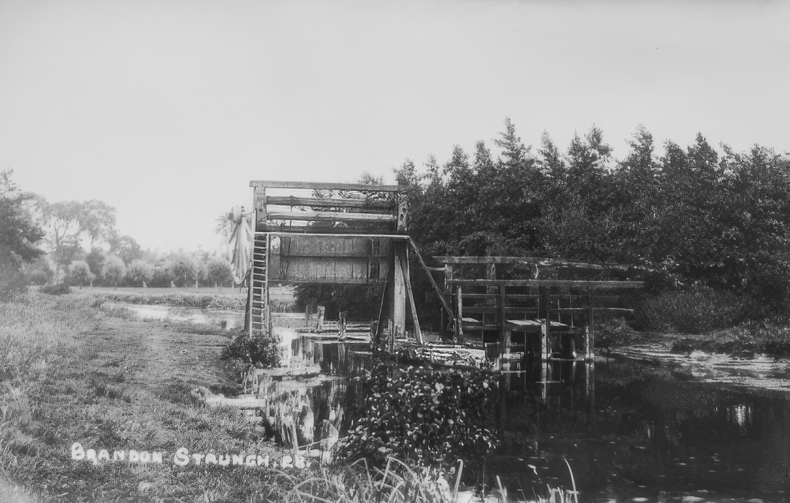
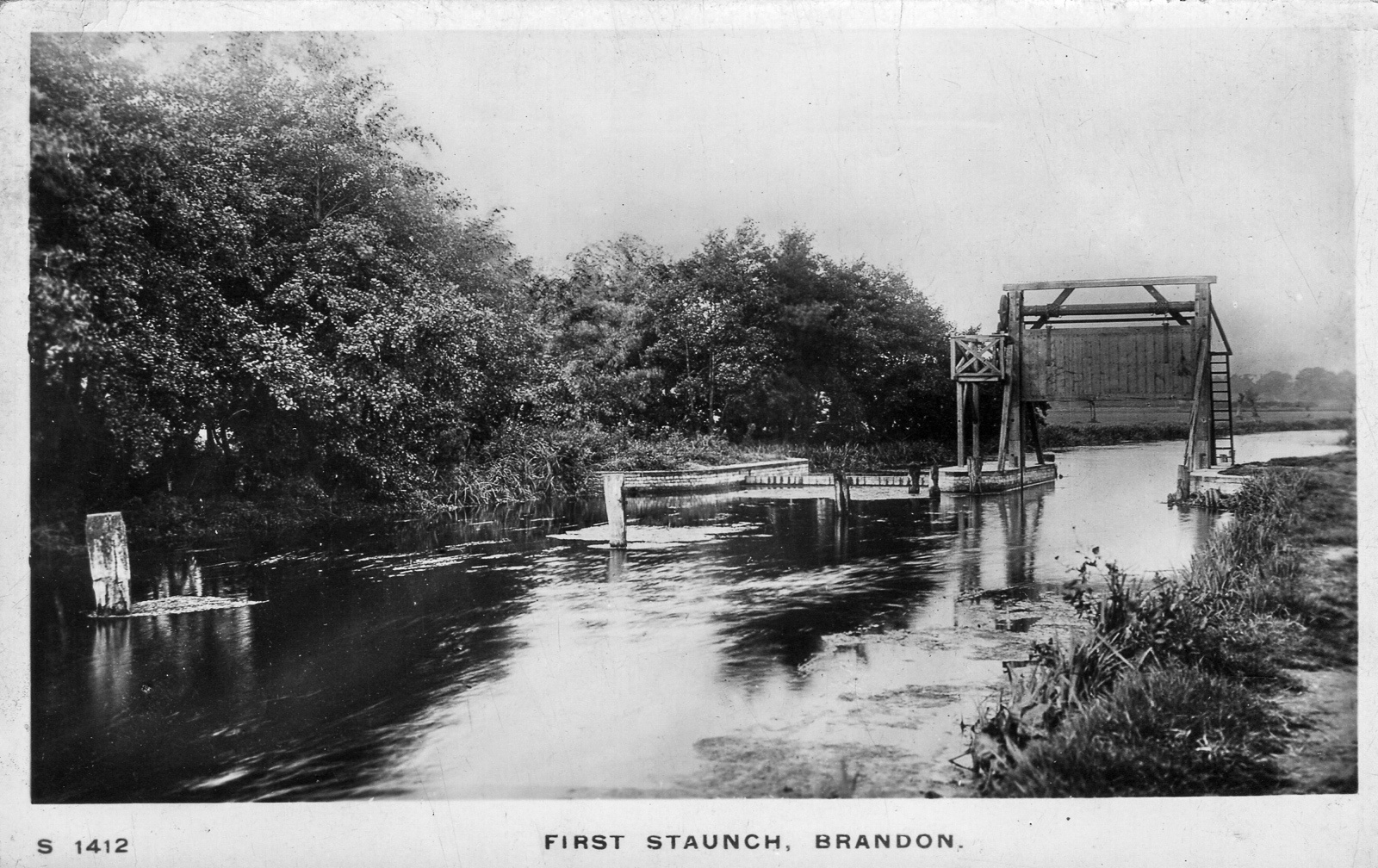
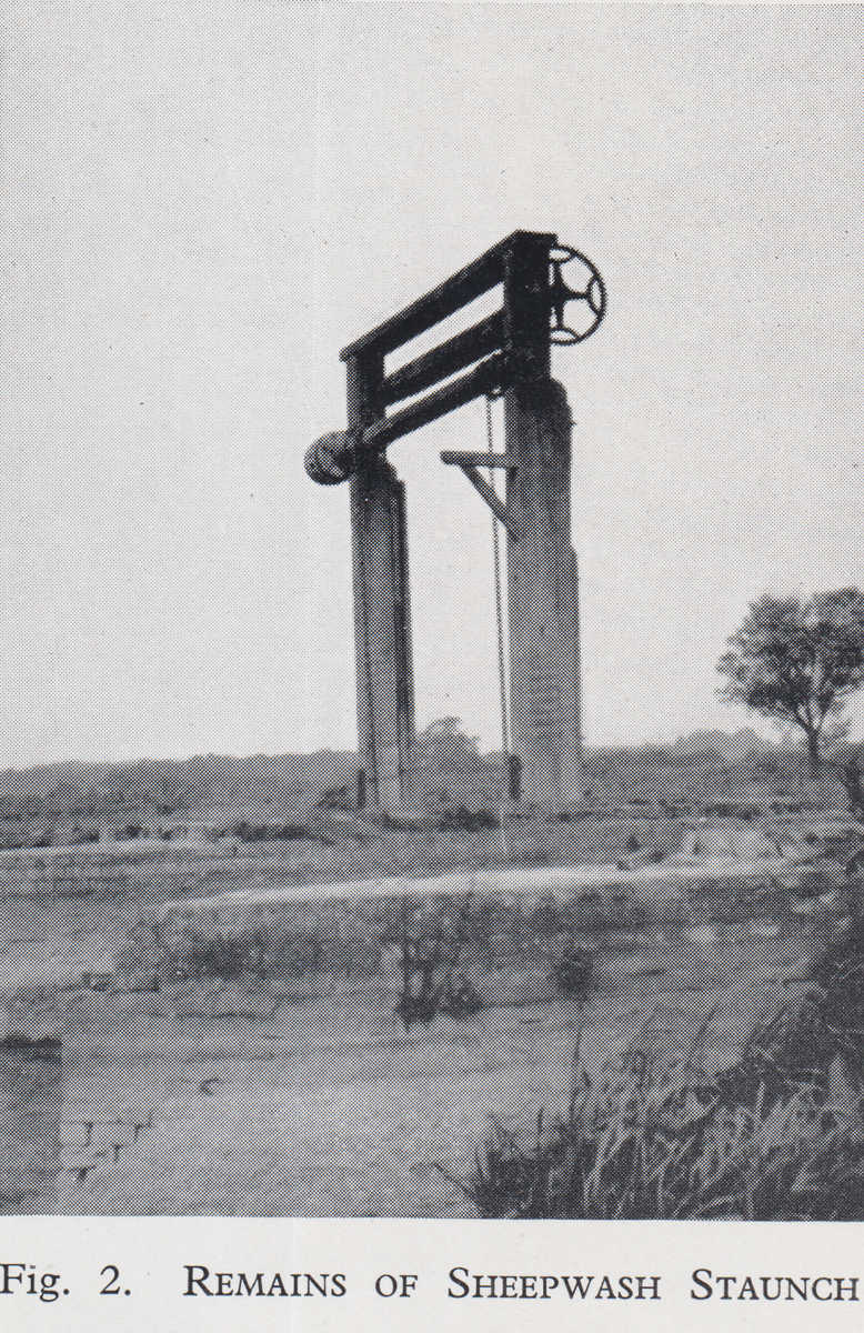
Sheepwash Staunch
There were two different Sheepwash staunch sites.
Grid ref. TL 755 868 Coordinates N52.45182 E0.58264
This earlier location can be viewed from the path on the north bank of the river but there are no visible remains.
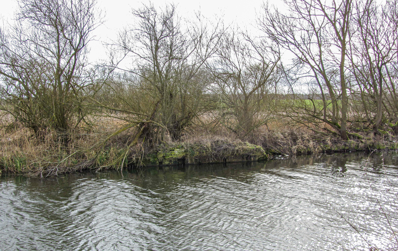
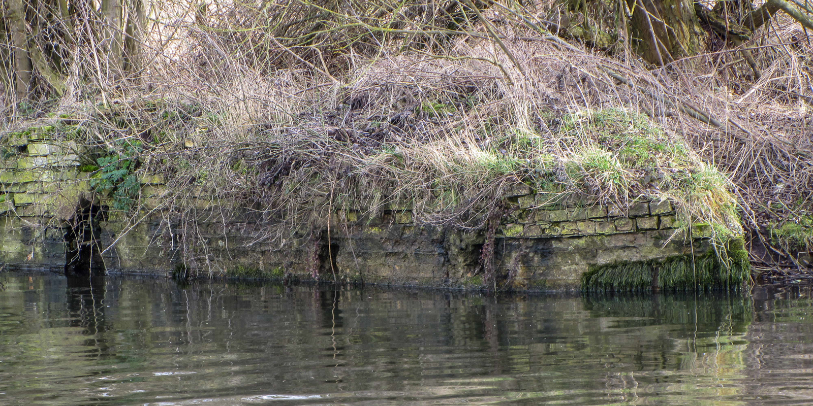
Grid ref. TL 7580 8700 Coordinates N52.45269 E0.58580
Substantial brickwork and masonry remains of the later staunch are present on the south bank, and can be viewed from the path along the river on the north bank. This paper by Andy Carter discusses the historical locations of Sheepwash Stanch.
Green Dragon Inn
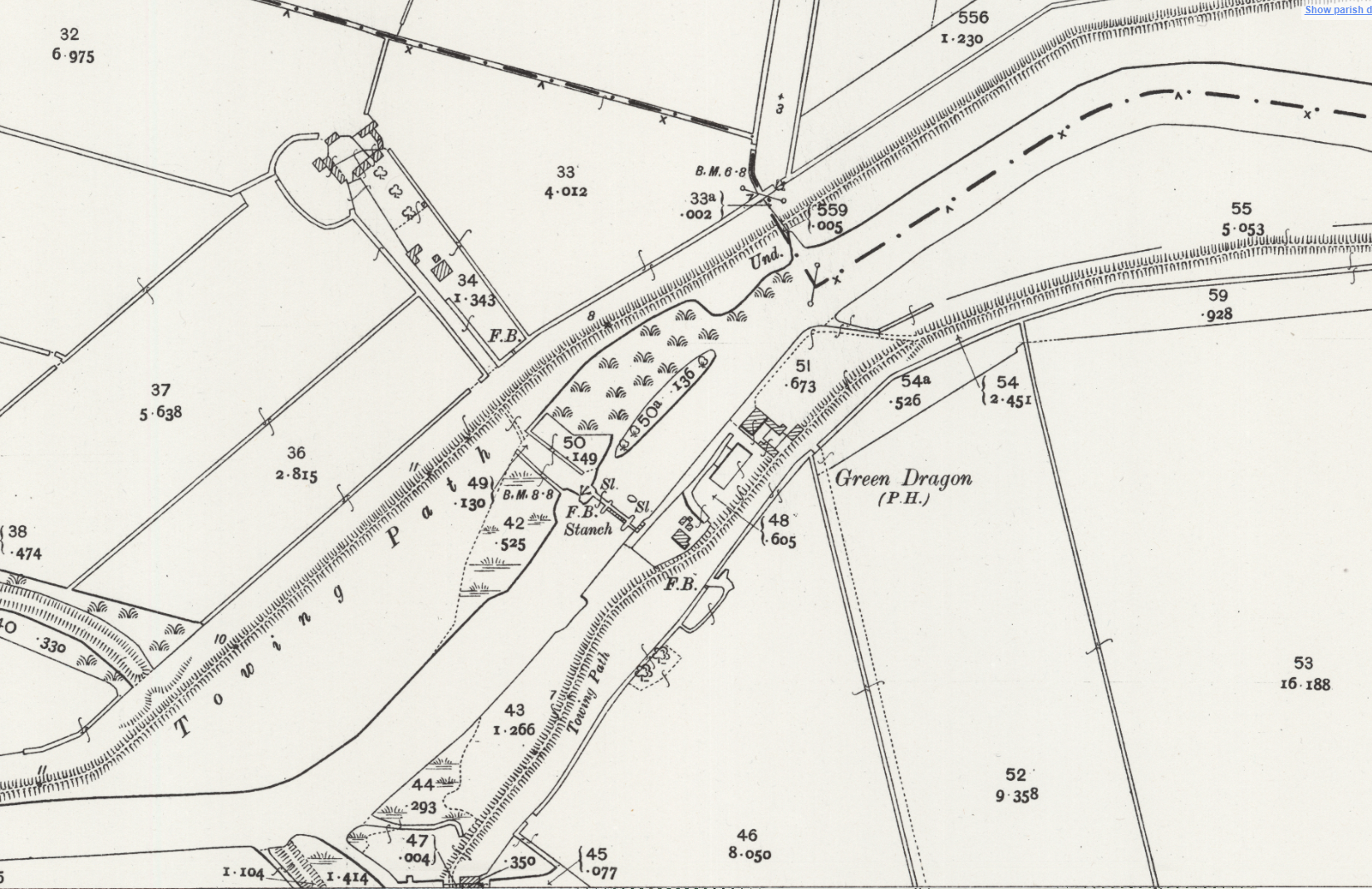
Grid ref. TL 66775 8581 Coordinates N52.44456 E0.46684
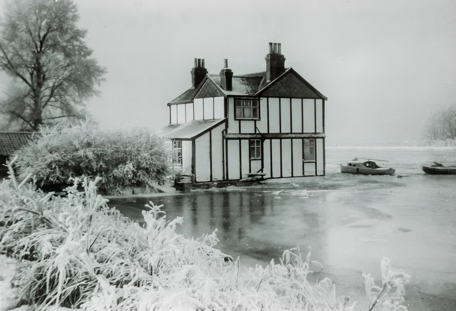
“To be let, the Green Dragon, Lakenheath Fen, situate near the Cross-WaterStanch, in good trade, with 51 acres of Pasture & Arable Land, also a valuable right of fishing, in the Brandon River.” Ipswich Journal, August 2nd 1843.
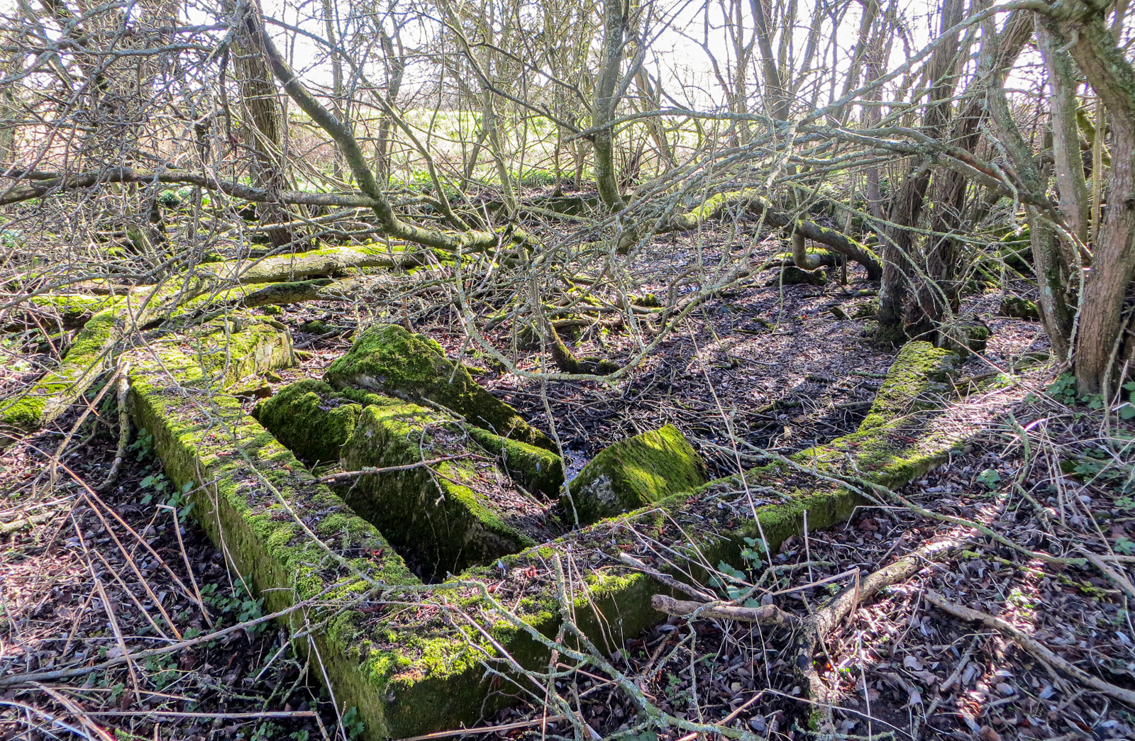
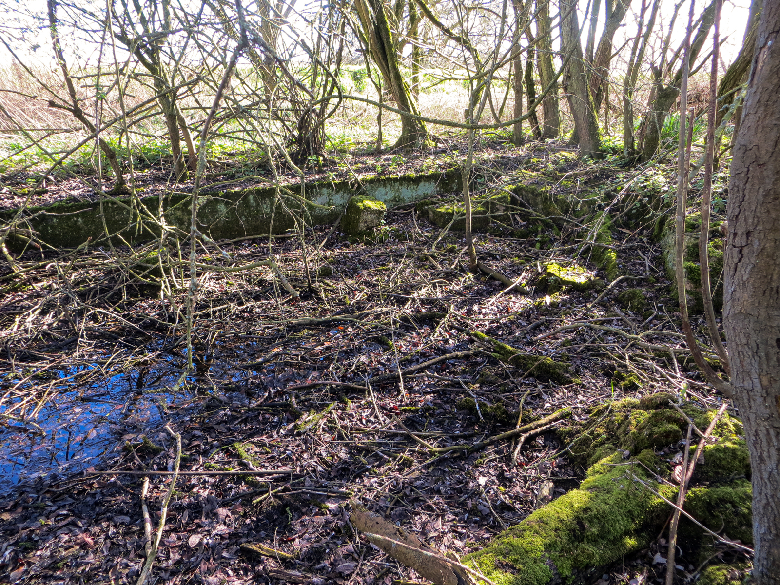
The Little Ouse was formerly known as the Brandon River or Brandon Creek. Given the above date, the original inn must have been built nearly 200 years ago or more. It was popular with fishermen, and with RAF and USAF crew during WW2. It was probably demolished in the late 1950s. There are some remains just east of the same footpath as it passes Crosswater Staunch. They appear to be large sections of cast-in-situ concrete foundations, some in what may be original positions, others dislodged. The whole site is very overgrown.
Crosswater Staunch
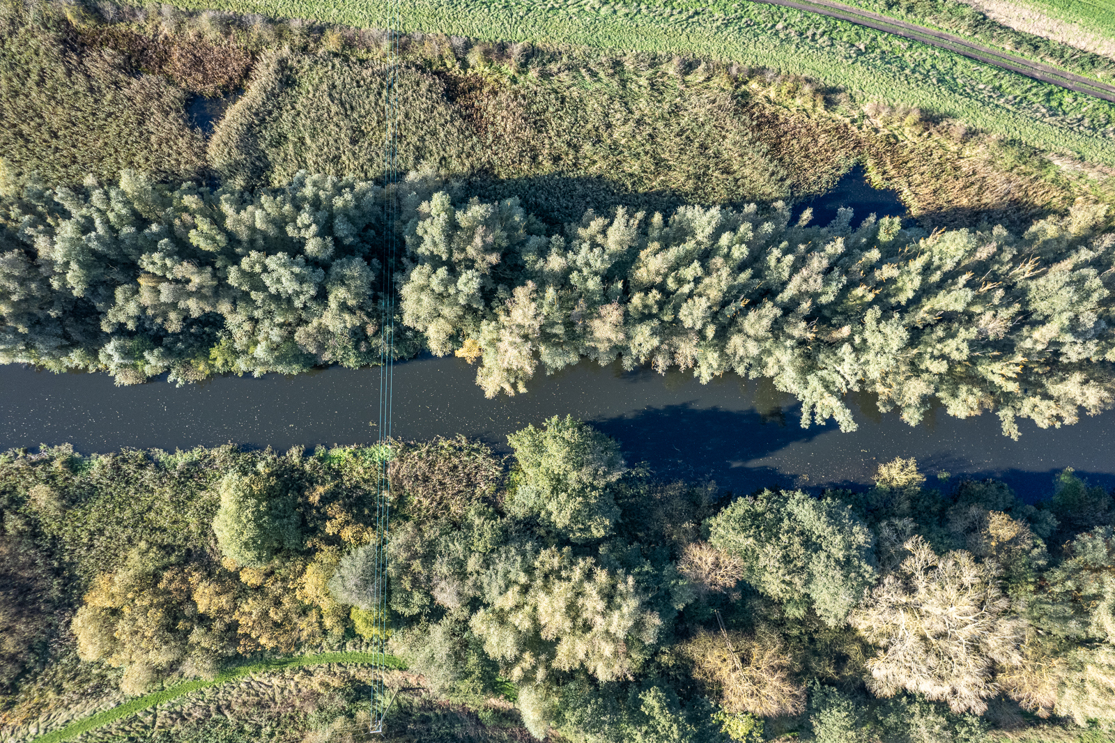
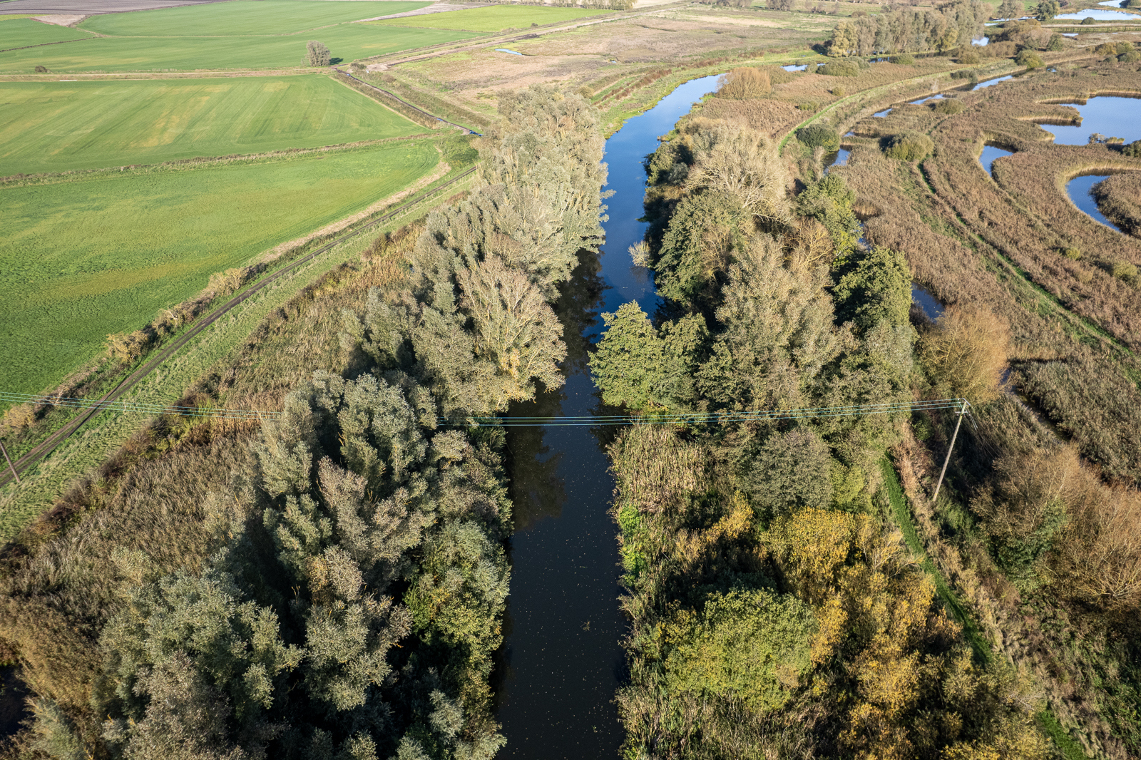
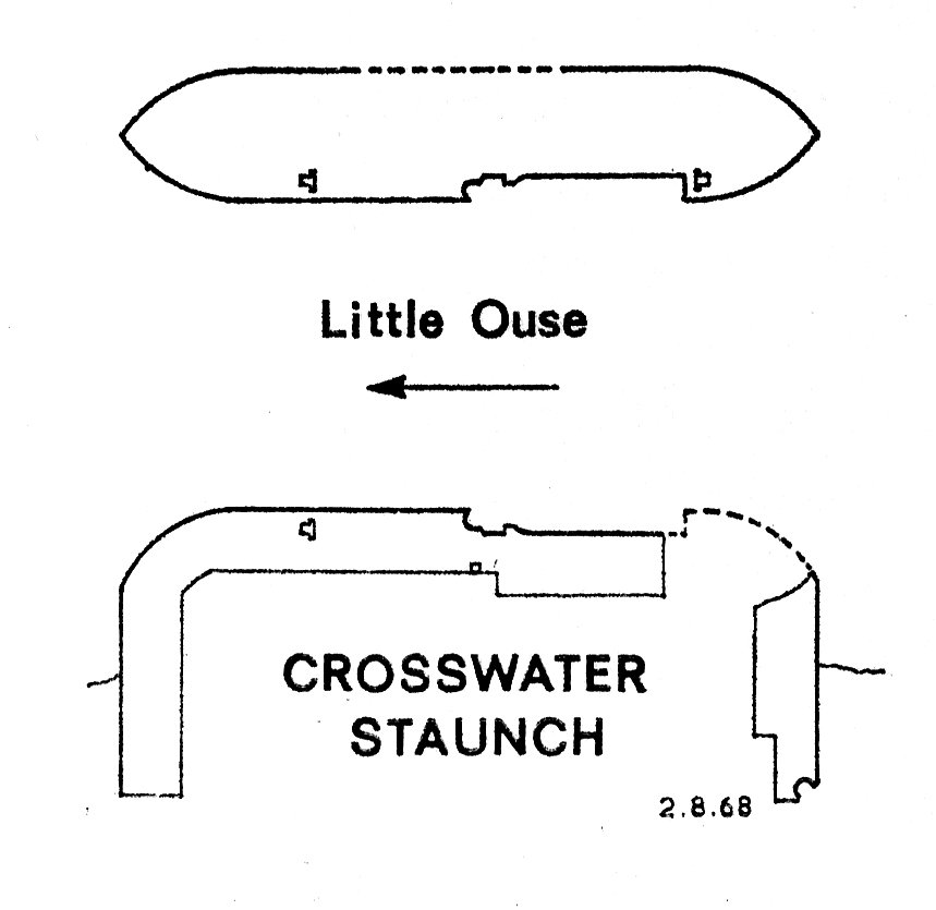
Grid ref. TL 6769 8575 Coordinates N52.44422 E0.46566
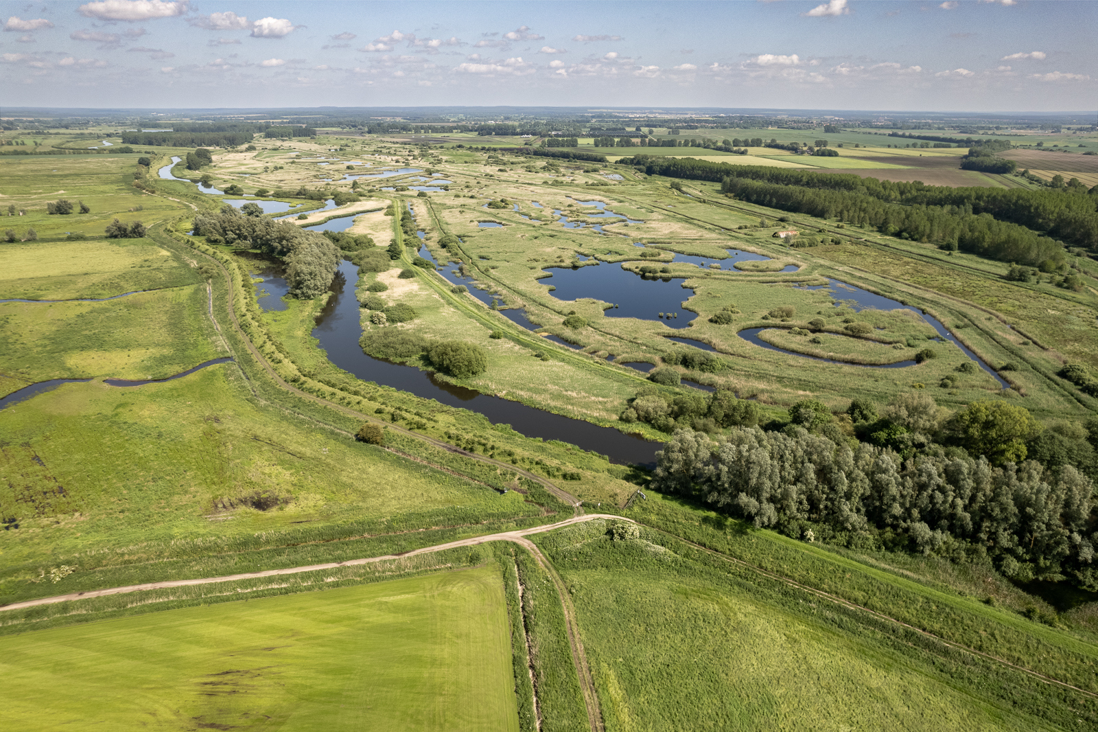
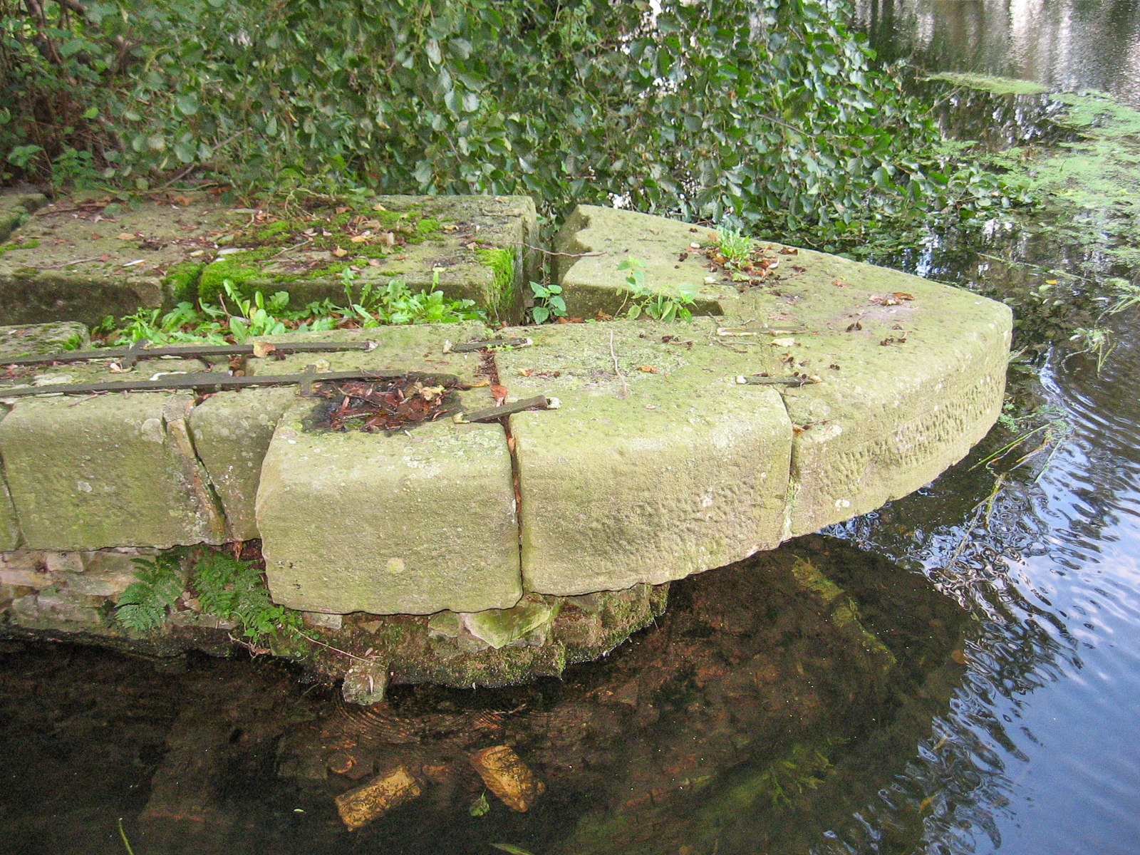
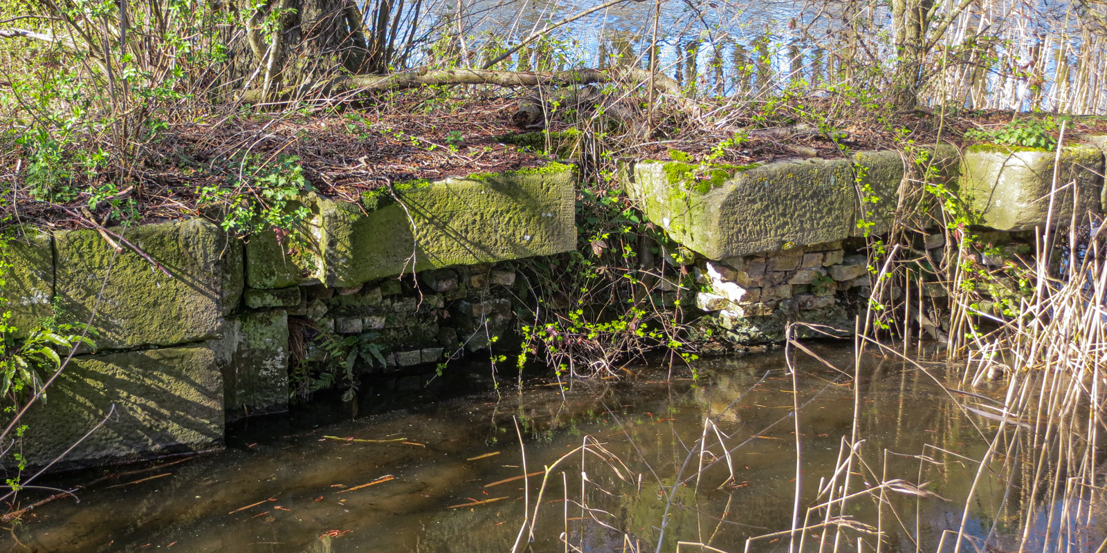
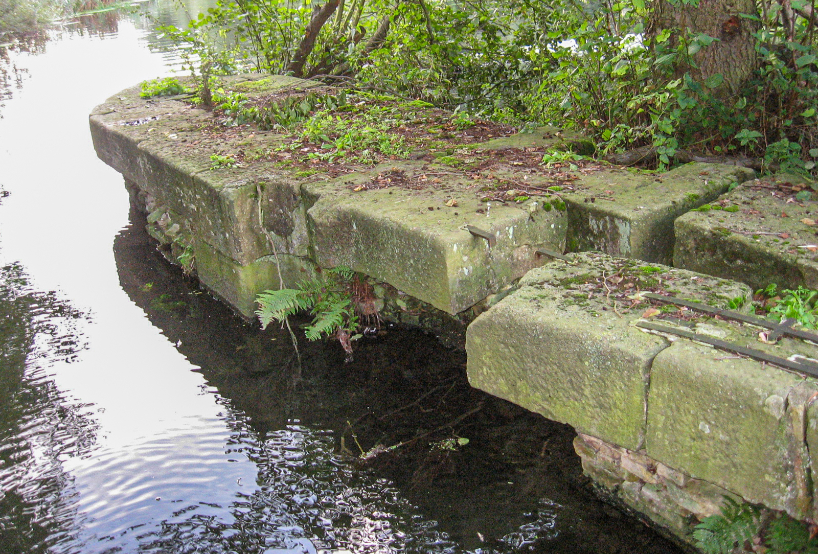
There is some debate about when Crosswater Staunch was built. Some believe it probably originated in the immediate post-Denver Sluice period and was constructed to allow navigation to continue to Brandon, if not to Thetford. Others assert that it was the last staunch built, in 1751.
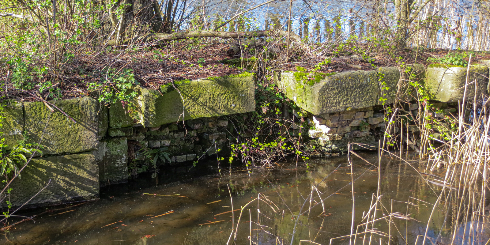
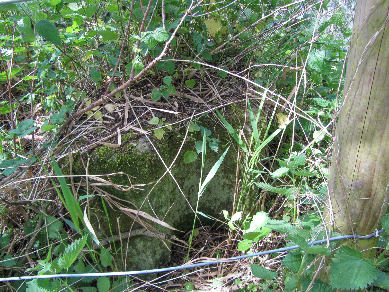
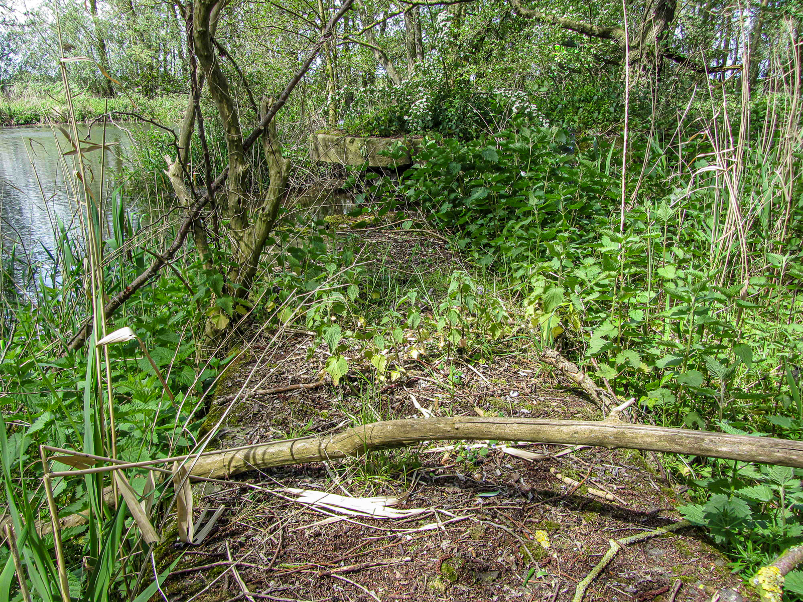
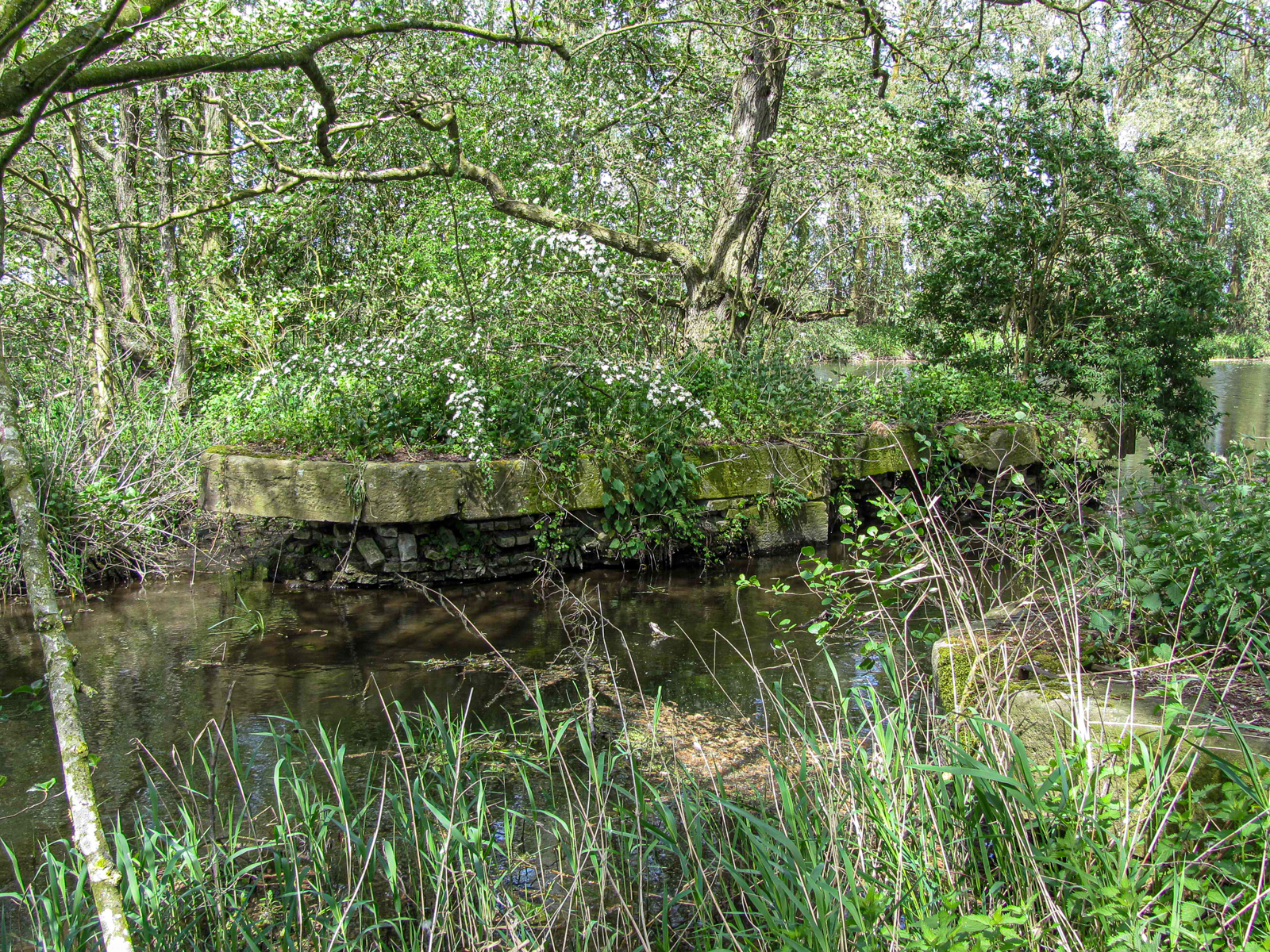
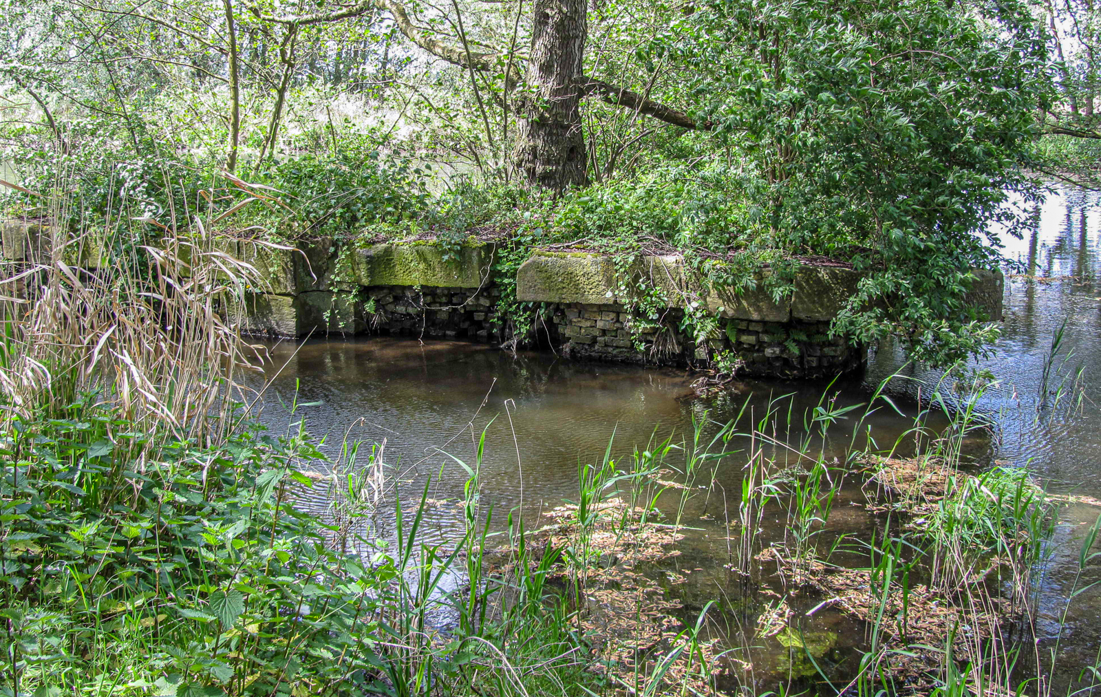
The remains of Crosswater Staunch can be seen from the public footpath along the south bank of the Little Ouse, at the western end of the RSPB’s Lakenheath Fen reserve. Note the large cap stones to the piers and the round pintle housings that show that this staunch had mitre gates at some stage.
Further Reading
- The Staunches and Navigation of the Little Ouse, Ronald H Clark, Transactions of The Newcomen Society (1957)
In 1925, local journalist W G Clarke published his seminal book about the Brecks, In Breckland Wilds. In 1896, the Norwich Mercury published a series of articles he wrote under the penname of “Wandering Will” about a trip down the Little Ouse in his boat Gipsy, under the title Gipsying on The Little Ouse.