//variables for routes
var linesLayer, points, lineFeature, lineString, routeMarkersLayer, routepos, routesize, routeoffset, routeicon;
var style_blue = {strokeColor: “#0000FF”, strokeOpacity: 0.8, strokeWidth: 4.5};
var style_red = {strokeColor: “#FF0000”, strokeOpacity: 0.8, strokeWidth: 4.5};
var style_green = {strokeColor: “#00FF00”, strokeOpacity: 1.0, strokeWidth: 8};
function initmapbuilder()
{
//initiate the map
var options = {resolutions: [2500, 1000, 500, 200, 100, 50, 25, 10, 5, 4, 2.5, 2, 1]};
osMap = new OpenSpace.Map(‘map’, options);
//configure map options (basicmap.js)
setglobaloptions();
//set the center of the map and the zoom level
osMap.setCenter(new OpenSpace.MapPoint(576340,307430),7);
// add a marker
pos = new OpenSpace.MapPoint(576480,307450);
size = new OpenLayers.Size(33,45);
offset = new OpenLayers.Pixel(-16,-36);
infoWindowAnchor = new OpenLayers.Pixel(16,16);
icon = new OpenSpace.Icon(‘https://openspace.ordnancesurvey.co.uk/osmapapi/img_versions/img_1.0.1/OS/images/markers/marker_red.png’, size, offset, null, infoWindowAnchor);
osMap.createMarker(pos, icon, null, null);
linesLayer = osMap.getVectorLayer();
// Set up layer for route markers
routeMarkersLayer = new OpenLayers.Layer.Markers(“Route Markers”);
//make a route
points = new Array();
points.push(new OpenLayers.Geometry.Point(576180,305910));
points.push(new OpenLayers.Geometry.Point(576050,306100));
points.push(new OpenLayers.Geometry.Point(575830,306250));
points.push(new OpenLayers.Geometry.Point(575610,306550));
points.push(new OpenLayers.Geometry.Point(575430,306500));
points.push(new OpenLayers.Geometry.Point(574830,306720));
points.push(new OpenLayers.Geometry.Point(574960,307260));
points.push(new OpenLayers.Geometry.Point(574630,307430));
points.push(new OpenLayers.Geometry.Point(574690,307810));
points.push(new OpenLayers.Geometry.Point(575060,307760));
points.push(new OpenLayers.Geometry.Point(575460,308850));
points.push(new OpenLayers.Geometry.Point(575730,308980));
points.push(new OpenLayers.Geometry.Point(576150,309150));
points.push(new OpenLayers.Geometry.Point(576690,309430));
points.push(new OpenLayers.Geometry.Point(576760,309050));
points.push(new OpenLayers.Geometry.Point(577450,308980));
points.push(new OpenLayers.Geometry.Point(578240,308230));
points.push(new OpenLayers.Geometry.Point(578640,307950));
points.push(new OpenLayers.Geometry.Point(578910,307540));
points.push(new OpenLayers.Geometry.Point(577900,306700));
points.push(new OpenLayers.Geometry.Point(577030,306160));
points.push(new OpenLayers.Geometry.Point(576560,306020));
points.push(new OpenLayers.Geometry.Point(576180,305910));
// create a polyline feature from the array of points
lineString = new OpenLayers.Geometry.LineString(points);
lineFeature = new OpenLayers.Feature.Vector(lineString, null, style_blue);
linesLayer.addFeatures([lineFeature]);
//make a route
points = new Array();
points.push(new OpenLayers.Geometry.Point(577966,308500));
points.push(new OpenLayers.Geometry.Point(577473,308971));
// create a polyline feature from the array of points
lineString = new OpenLayers.Geometry.LineString(points);
lineFeature = new OpenLayers.Feature.Vector(lineString, null, style_green );
linesLayer.addFeatures([lineFeature]);
//make a route
points = new Array();
points.push(new OpenLayers.Geometry.Point(578879,307617));
points.push(new OpenLayers.Geometry.Point(578814,307580));
// create a polyline feature from the array of points
lineString = new OpenLayers.Geometry.LineString(points);
lineFeature = new OpenLayers.Feature.Vector(lineString, null, style_green );
linesLayer.addFeatures([lineFeature]);
osMap.addLayer(routeMarkersLayer);}
|
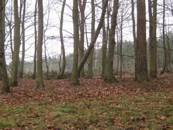
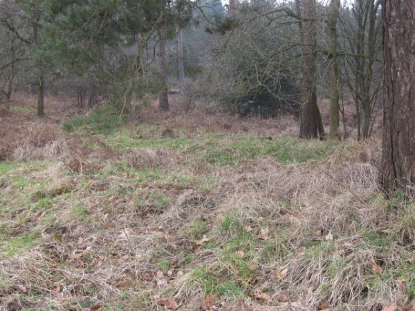
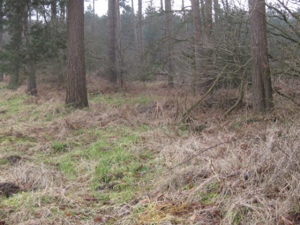
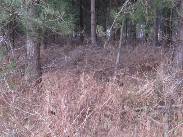
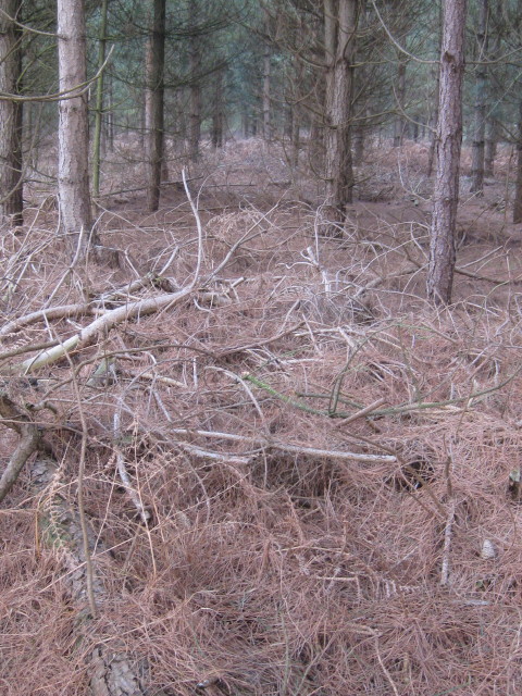
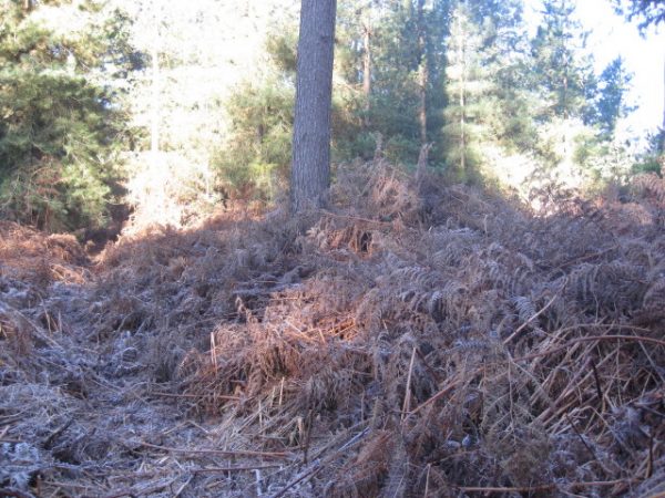
Description of the site: Warren Boundary bank from TF 78879 07617 to TF 78814 07580 but with two ‘spurs’ at western end (TF 78814 07580). Southern branch may be part of bank visible from Ride 105 (TF 78678 07460) | ||||||
|
Maximum dimension of the site (in metres) |
Length: 67 metres Main bank :61 metres. + spurs Northern spur:: 5 metres Southern spur: 6 metres Bank near Ride 105 (TF 78678 07460): 24 metres |
Width: 6 metres of bank: 6 metres Width of spurs: 6 metres Bank near Ride 105: 4.5 metres | ||||
|
Features present
|
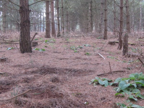
Bank/sThe bank has immature firs planted along the length. These are marked with red for thinning, and green to mark to the presence of a bank, perhaps | |||||
|
Shape of features in plan (eg rectangular, oval, straight, curving) |
Straight bank running east/west with two spurs at western end. Southern spur curves slightly to the south-west | |||||
|
Compass alignment of features |
East-west | |||||
|
Maximum dimensions of features (in metres) |
Length Main bank: 61 metres Northern spur: 5 metres Southern spur: 6 metres Bank near Ride 105 (TF 78678 07460): 24 metres |
Width 6 metres Bank near Ride 105: 4.5 metres |
Depth/height 1.0 meter high perhaps Bank near Ride 105: 0.5 metres | |||
|
Profile of features |
Slope of sides Gentle sloping sides |
Base/top flat | ||||
|
Land use
|
Forestry Plantation | |||||
|
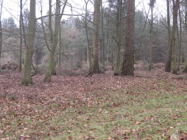
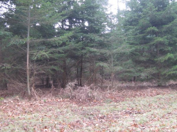
Notes and interpretation Southern boundary bank of Beachamwell Warren runs from grid reference TF 78879 07617 – but the two spurs – perhaps start of double bank – are difficult to interpret. The southern spur may be part of the bank that is visible close to Ride 105 at grid ref TF 78678 07460. Immature firs are planted along the bank and are marked for thinning. Generally the bank is in excellent condition. The eastern end of the bank abuts a ride that marks the end of FC owned land and the former eastern boundary line of Beachamwell Warren. However the surveyed boundary bank does not curve northwards to join the remaining and, in part, substantial warren boundary bank that runs northwards along the parish boundary. | ||||||