A Very Brief History of The Lark Navigation. Ivan Cane, IWA
1700-1732 Henry Ashley extended the navigation from Mildenhall to Bury St Edmunds borough boundary, using around 25 staunches or flash locks.
1815-1845 Sir Thomas Gery Callum, who had inherited a run-down navigation, spent considerable monies on the works, and these are the remains that one mainly sees today. By 1845 some 10 pound locks and 15 staunches had been constructed, repaired or re-built. E.g. Cherry Tree lock was constructed by bricking the river course between two former staunches.
In 1855 the Navigation was extended into Bury with a new lock at Tollgate. However, from 1849 the railway paid Callum £500 p.a. to allow the navigation to decay!
In 1889, a very optimistic Eastern Counties Navigation and Transport Company bought the navigation, with the aim of improving it. They demolished many staunches, e.g. where fords were no longer in use, and made others into locks. Unfortunately they ran out of money and ended up making some staunches – plank stanches (i.e. like stop planks). However, trade did continue on the lower part.
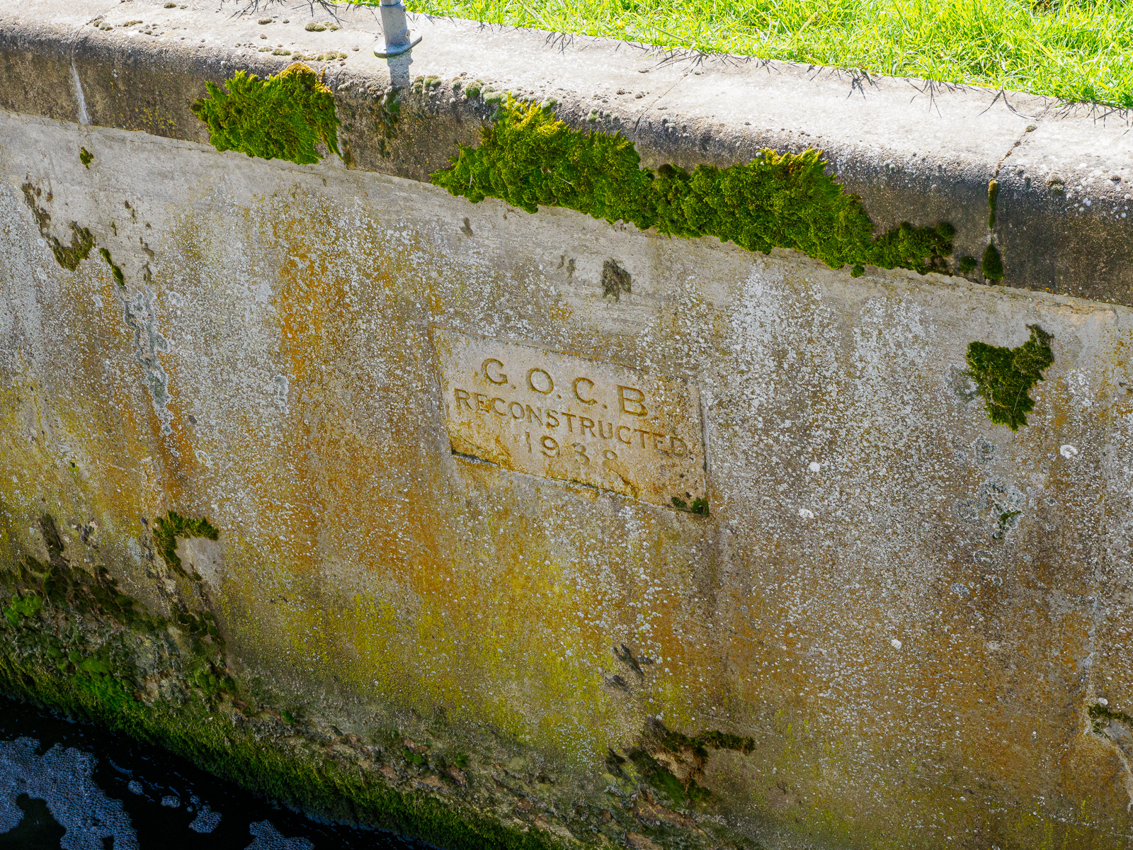
In 1931 the Great Ouse Catchment Board took up the mantle, and Icklingham lock was one of the reconstructed structures built for the dual use of flood management and navigation. Unfortunately World War II stopped plans from being fully implemented; for example, several lock chambers were built, but never gated.
Other Sources of Information
“The River Lark: an outline summary” by Alan H Faulkner, from 1977, on the East Anglia Waterways Association website, is an excellent short history of the river’s commercial era and decline.
A lot of information about the history of the River Lark Navigation is also available on David Addy’s St Edmundsbury Chronicle website.
This account of the history of the Lark Navigation appeared in the Newmarket Journal in November 1928. Rather than being a full scholarly account, it is, in the title of the column, “Random Notes” but is nonetheless fascinating.
Structures on The River Lark, Past and Present
Most of the rest of this web page is devoted to historical and present-day images of structures to be found on the River Lark, working downstream from Bury St Edmunds. Most prominent of these were the stanches or staunches, rather primitive single-gated lock, also known as flash locks.
Writing in Industrial Archaeology, 1969, Lewis, Slatcher and Jarvis state:
“The flashlock is a thing of the past, but much of river commerce in England once depended on navigations which employed the device. Whereas a pound lock has two sets of gates to pass boats from one level of a waterway to another, a flashlock has only one. Only a century ago [ca. 1870] there were still about sixty-three examples in use, fifty years ago [ca. 1920] about twenty-one. Now there are none.“
The numbers originate from an article published in May 1890, written by William Howlett, a keen angler, and Secretary of the Lark Angling Preservation Society, who walked the river from Bury to Mildenhall. His piece begins “Having during the last month received a great number of letters requesting me once again to undertake the journey along the river Lark, and let the public know, through the columns of the Newmarket Journal, how this work of cleaning out the river is progressing…“.
Note: We have not yet unambiguously assigned all of Howlett’s numbers to sites mentioned below; regard them as tentative.
Some sites are missing – we will try to add images of the other locations mentioned by Howlett in due course.
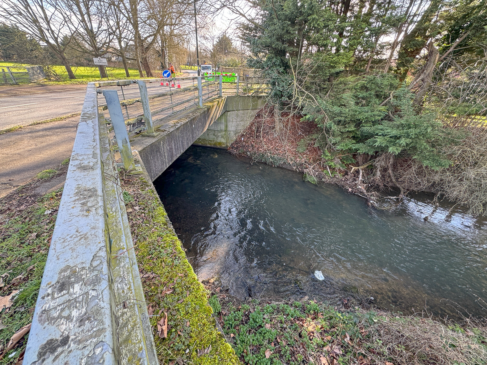
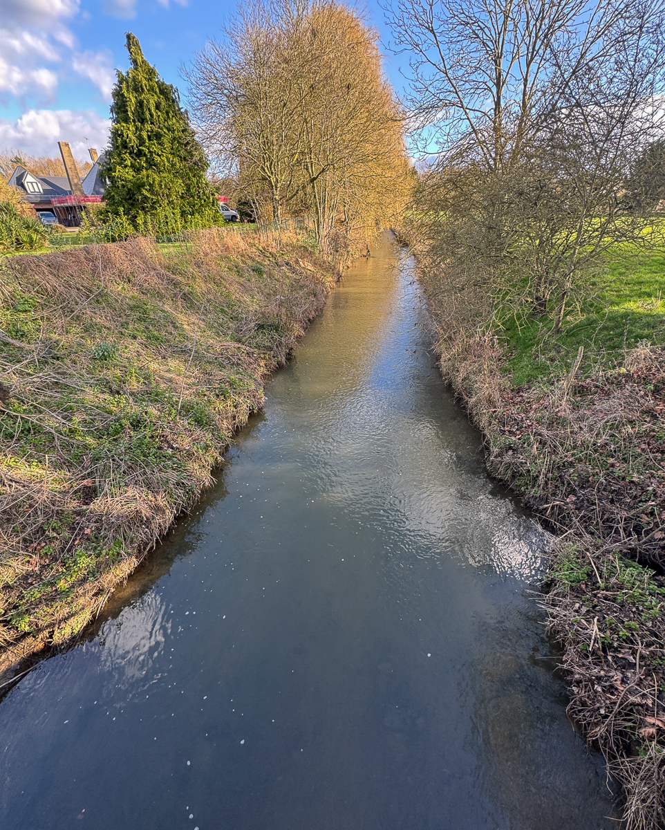
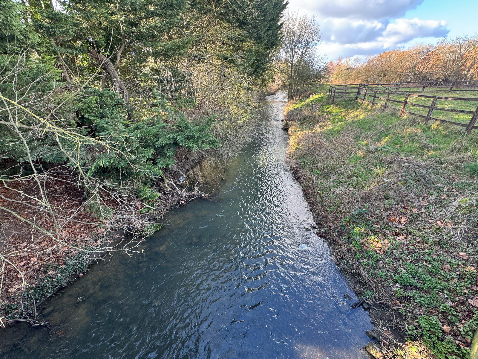
Tollgate Bridge, former lock (2)
Grid ref. TL … Coordinates N52…. E0….
No obvious trace remains of the former lock. The B1106 now crosses the Lark on a modern concrete bridge.
“Mr Wicks’ Mill” Lock (3)
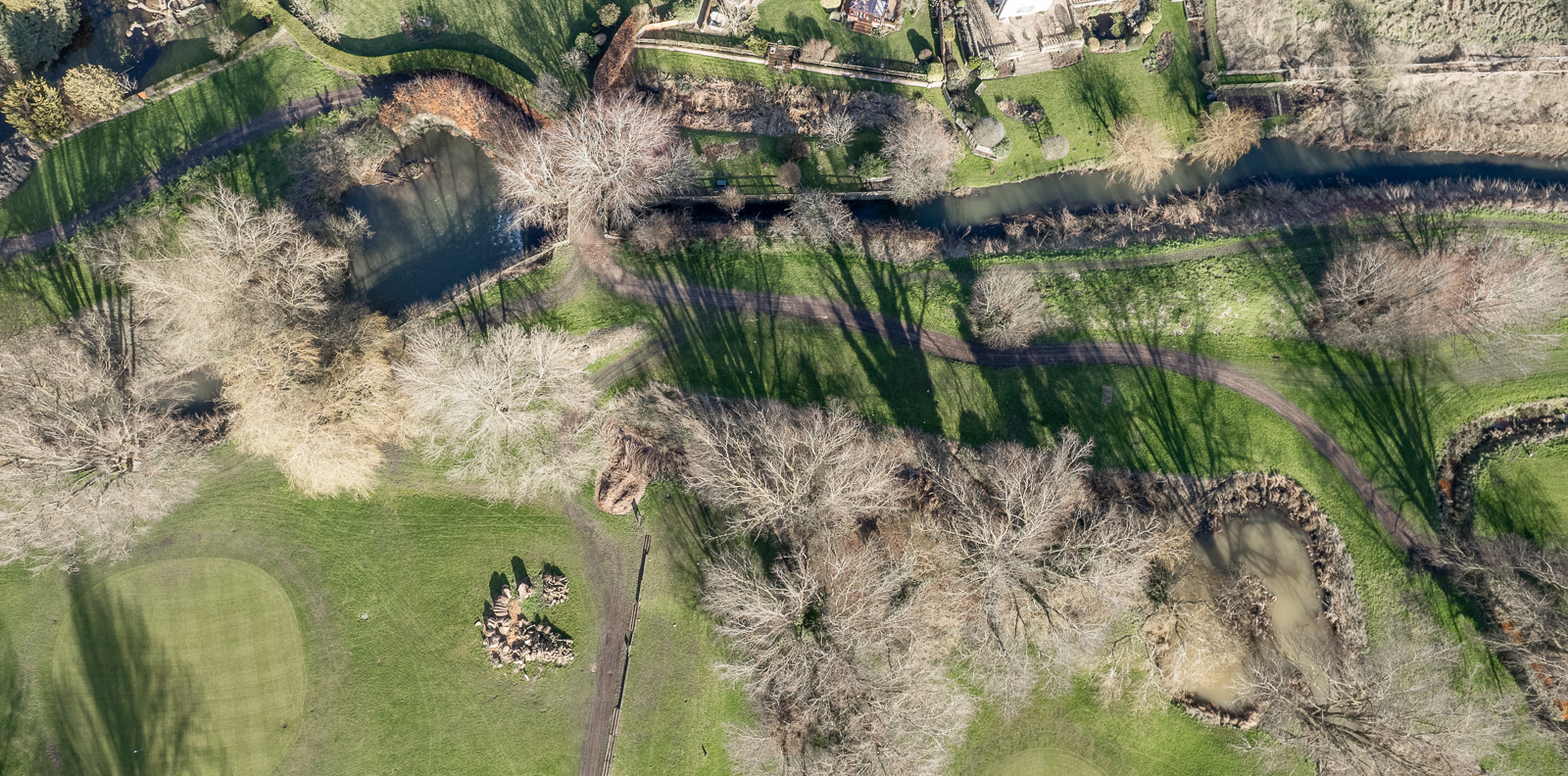
Grid ref. TL … Coordinates N52…. E0….
This and the following location now lie within and on the edges of the golf course of the All Saints Hotel & Resort at Fornham All Saints.
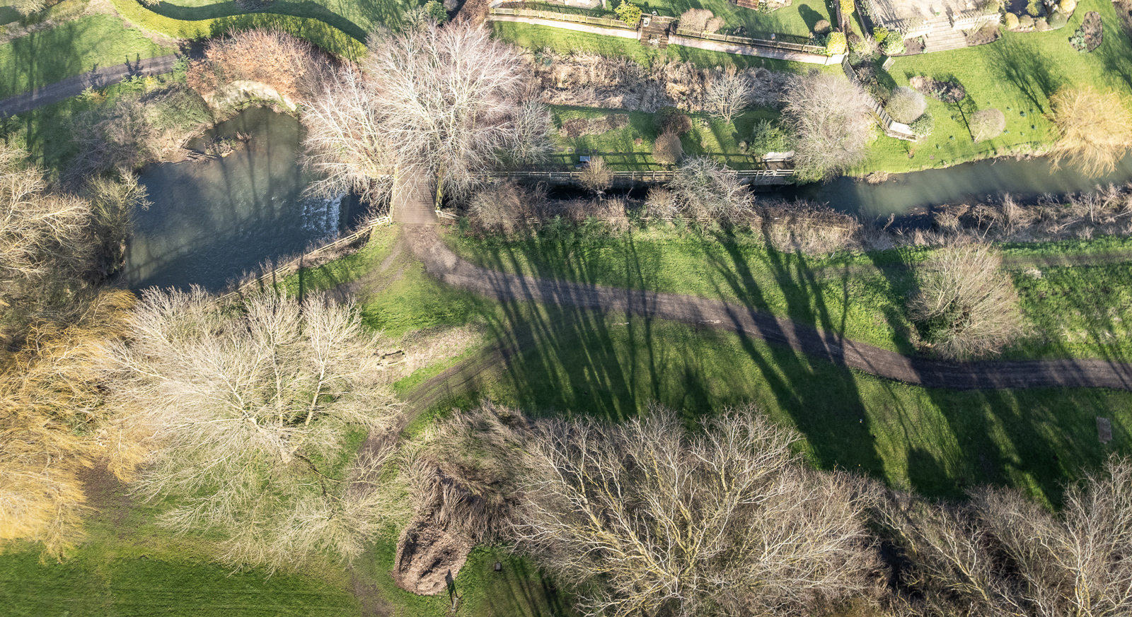
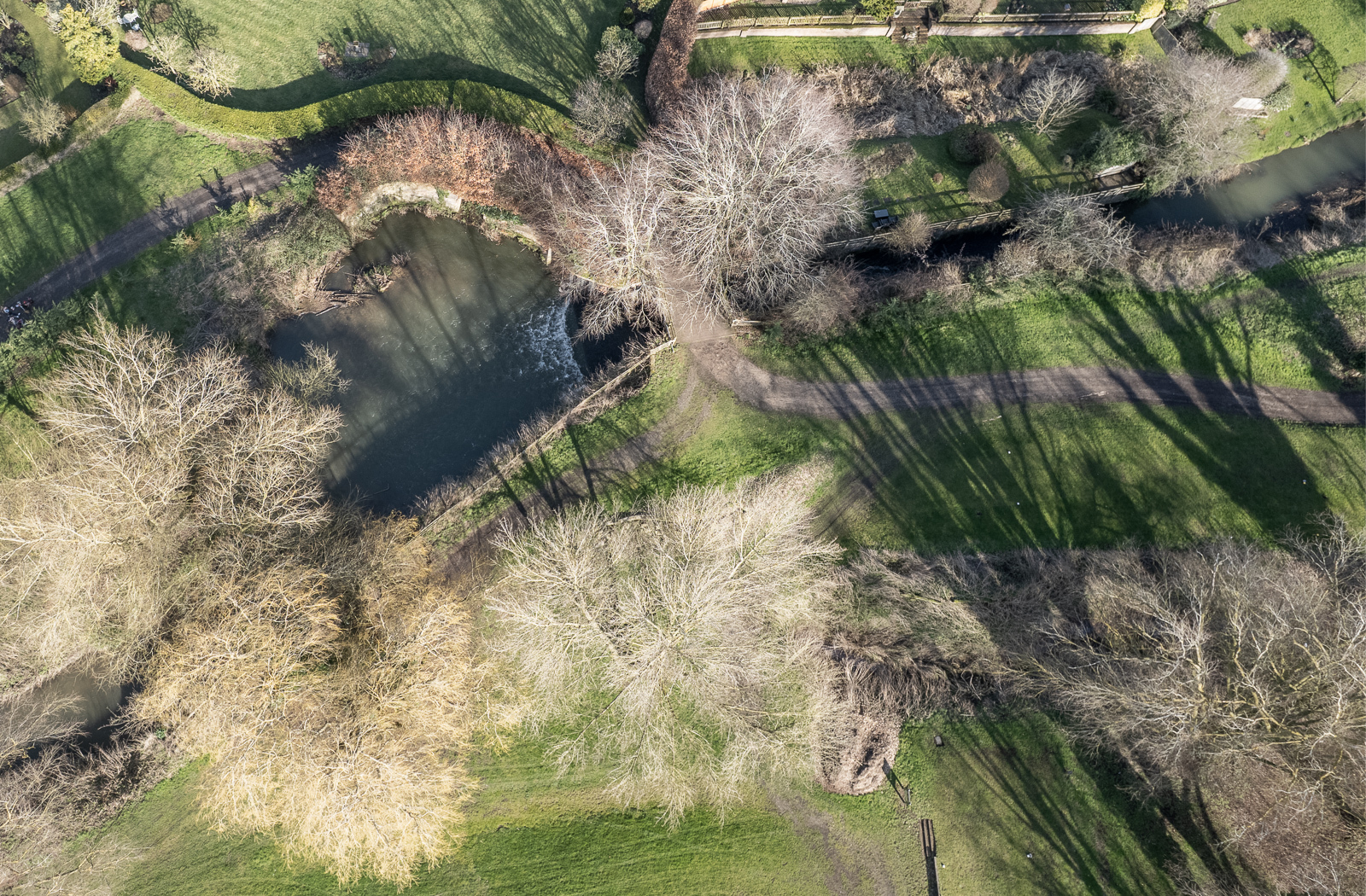
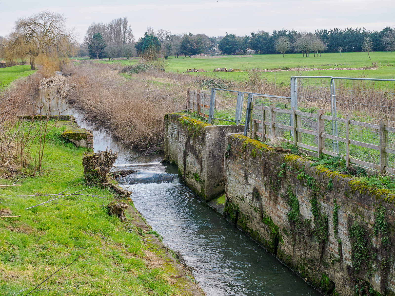
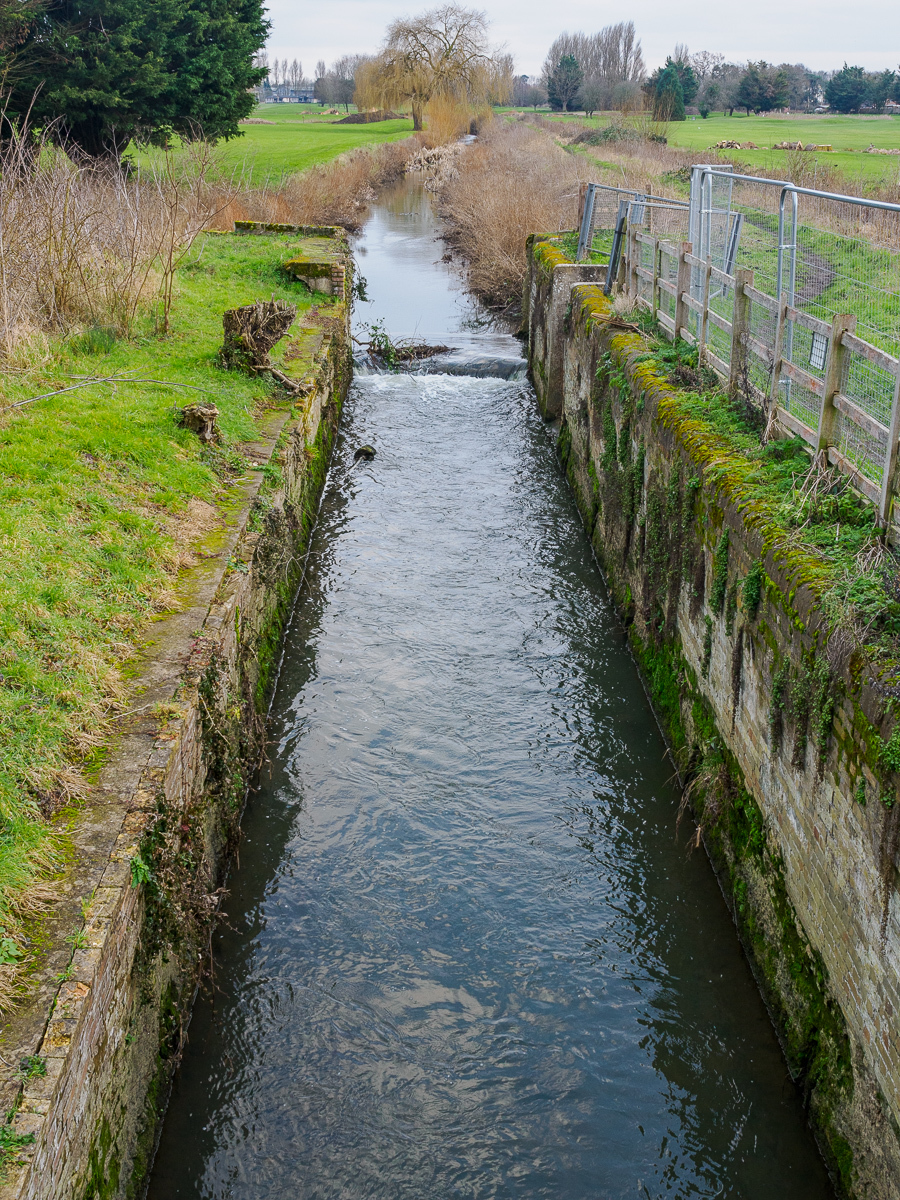
Fornham Lock (4)
Grid ref. TL 8475 6723, Coordinates N52.2722 E0.7064
The northern loop of the B1106 passes over the downstream end of the lock.
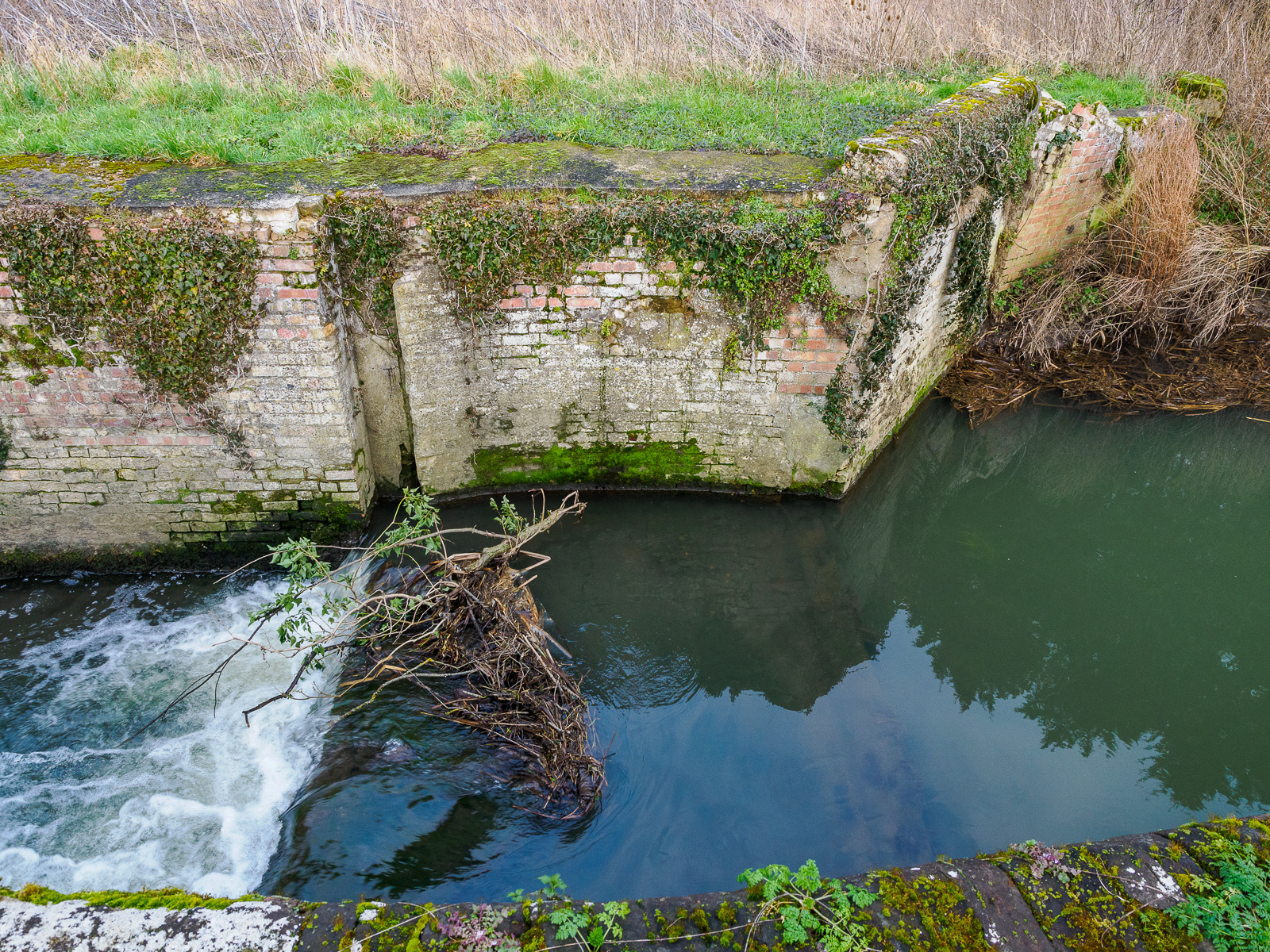
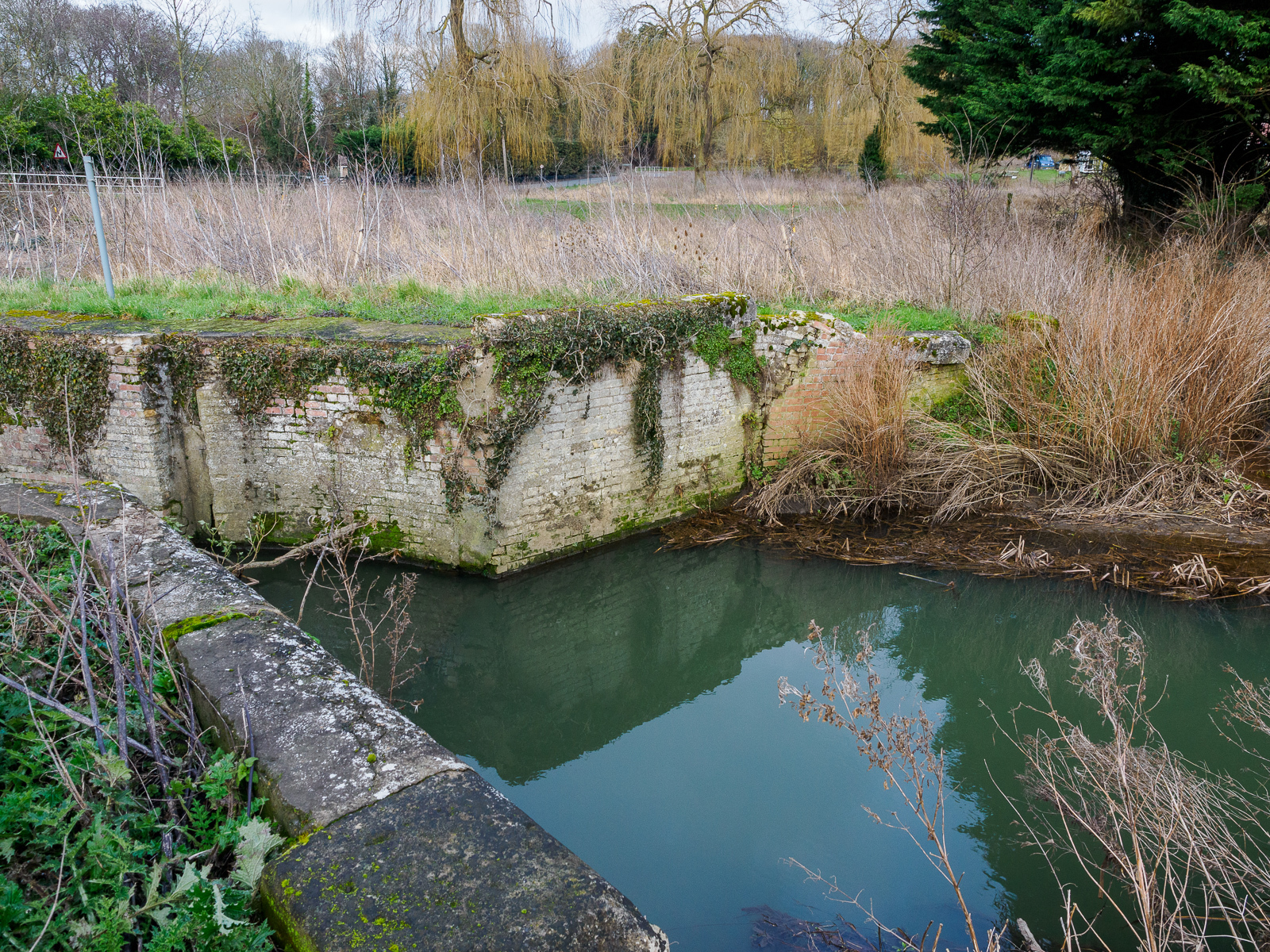
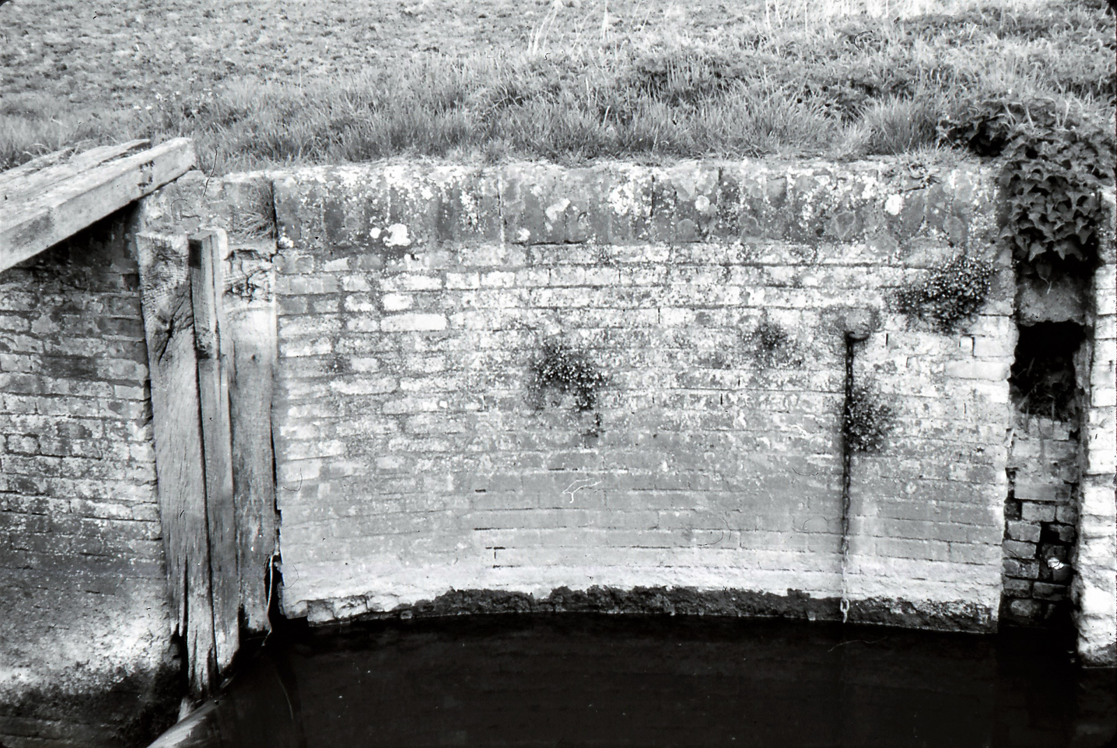
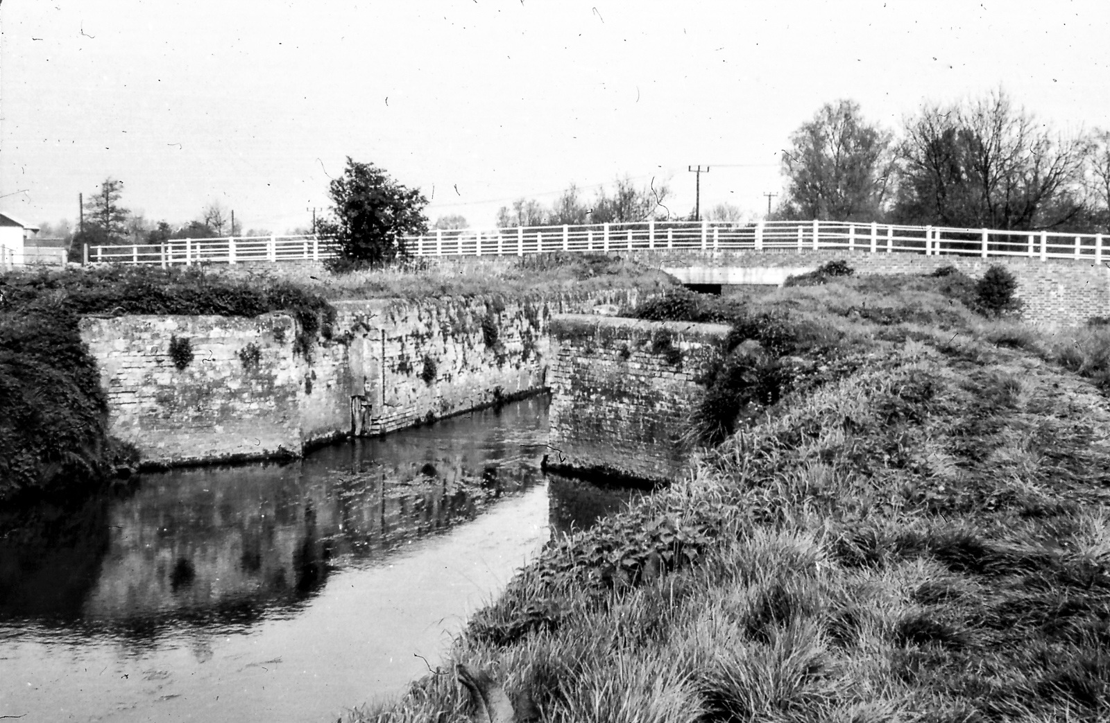
Ducksluice Staunch (5)
Grid ref. TL 834 685, Coordinates N52.2842 E0.6885
The former staunch has been completely replaced by a modern concrete sheet-piled structure, and is crossed by a flat concrete bridge.
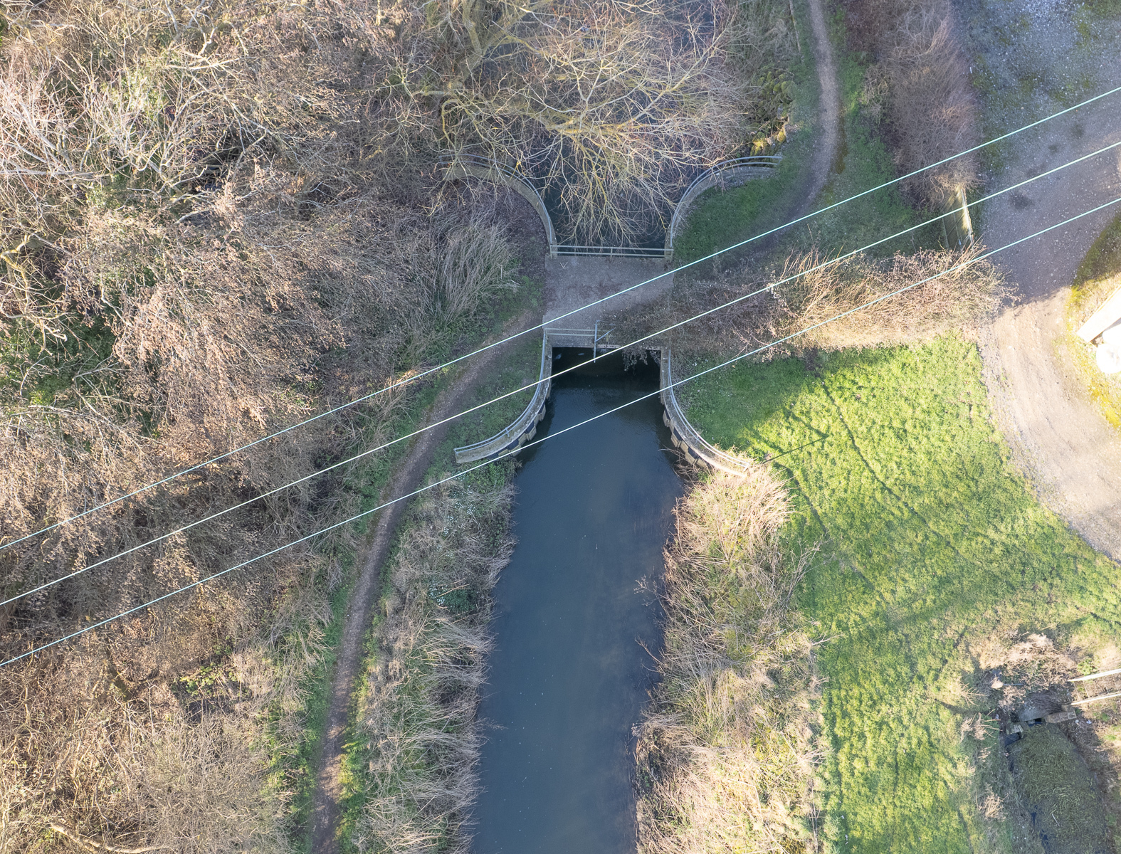
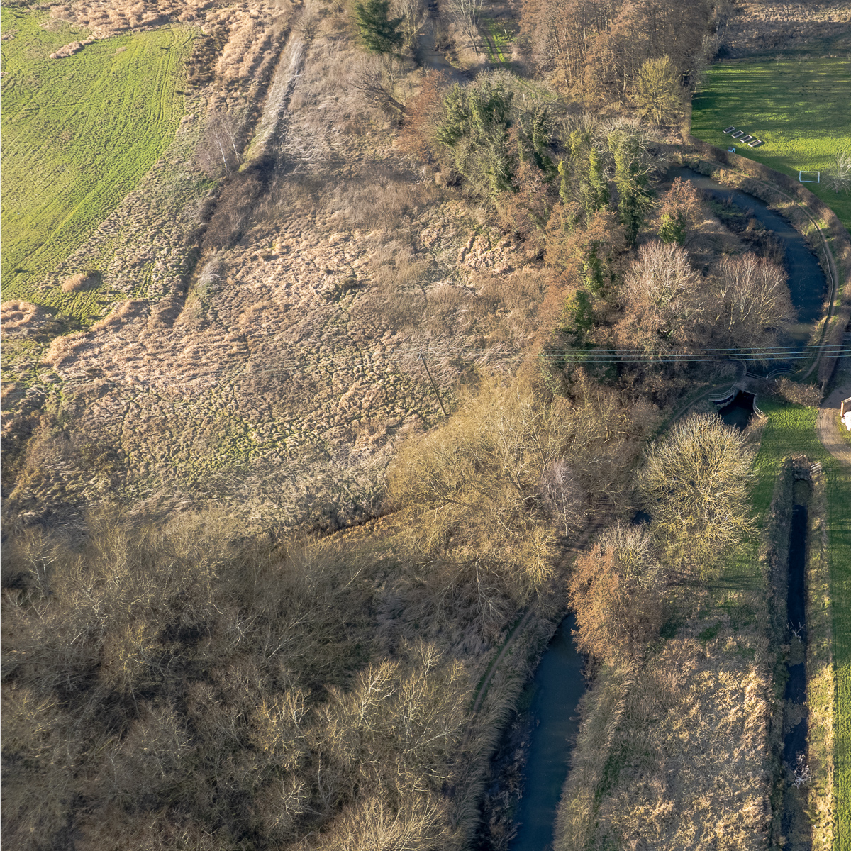
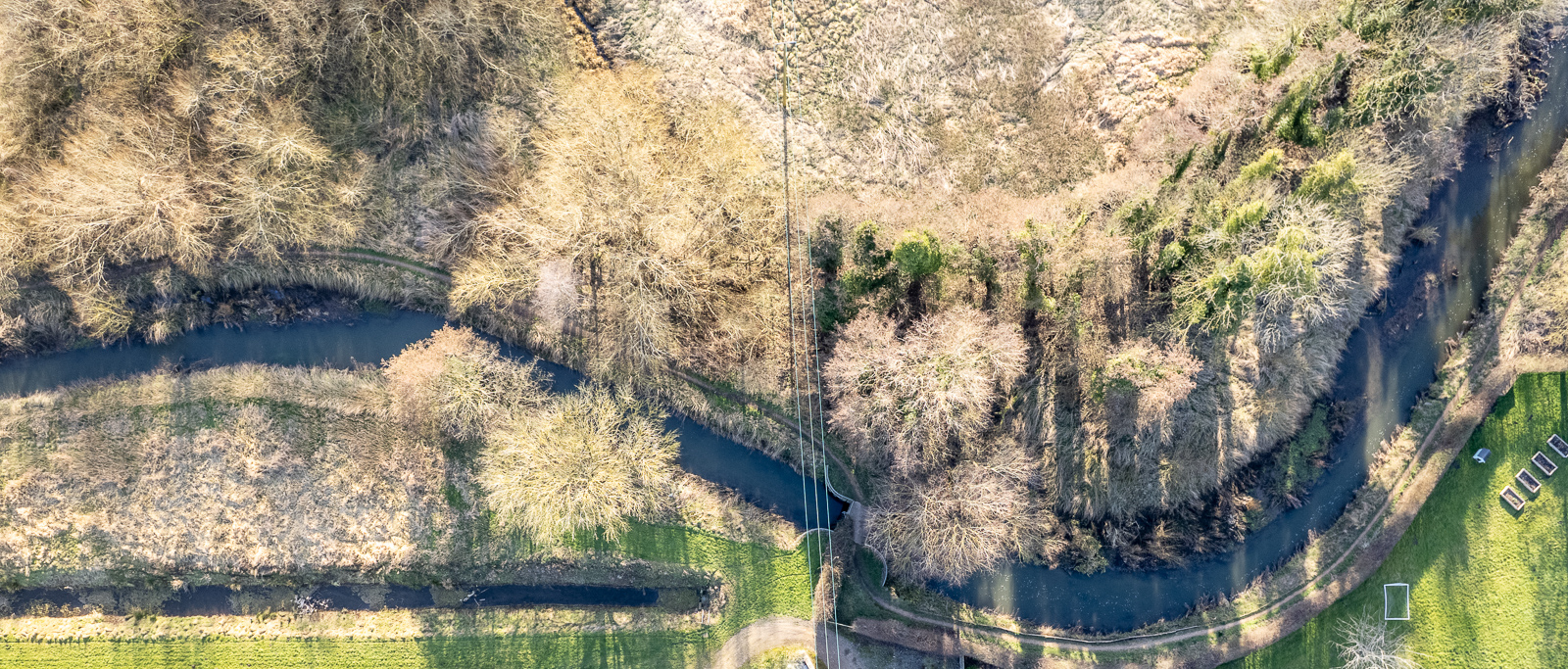
Hengrave Lock (6)
Grid ref. TL 8302 6931, Coordinates N52.2914 E0.6822
The upstream end of the lock was once crossed by a road bridge, but this was later demolished and the road became a dead end for traffic on both side. A later footbridge spans the lock.
Chimney Mill (7)
Grid ref. TL 8215 6983, Coordinates N52.2964 E0.6698
No images currently available.
Flempton Lock (8)
Grid ref. TL 8166 7037, Coordinates N52.2964 E0.6698
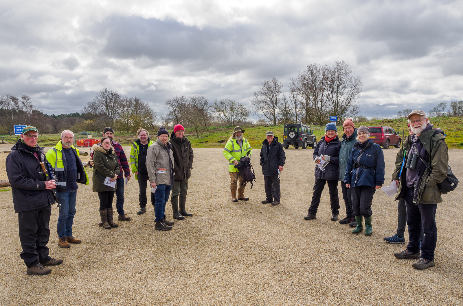
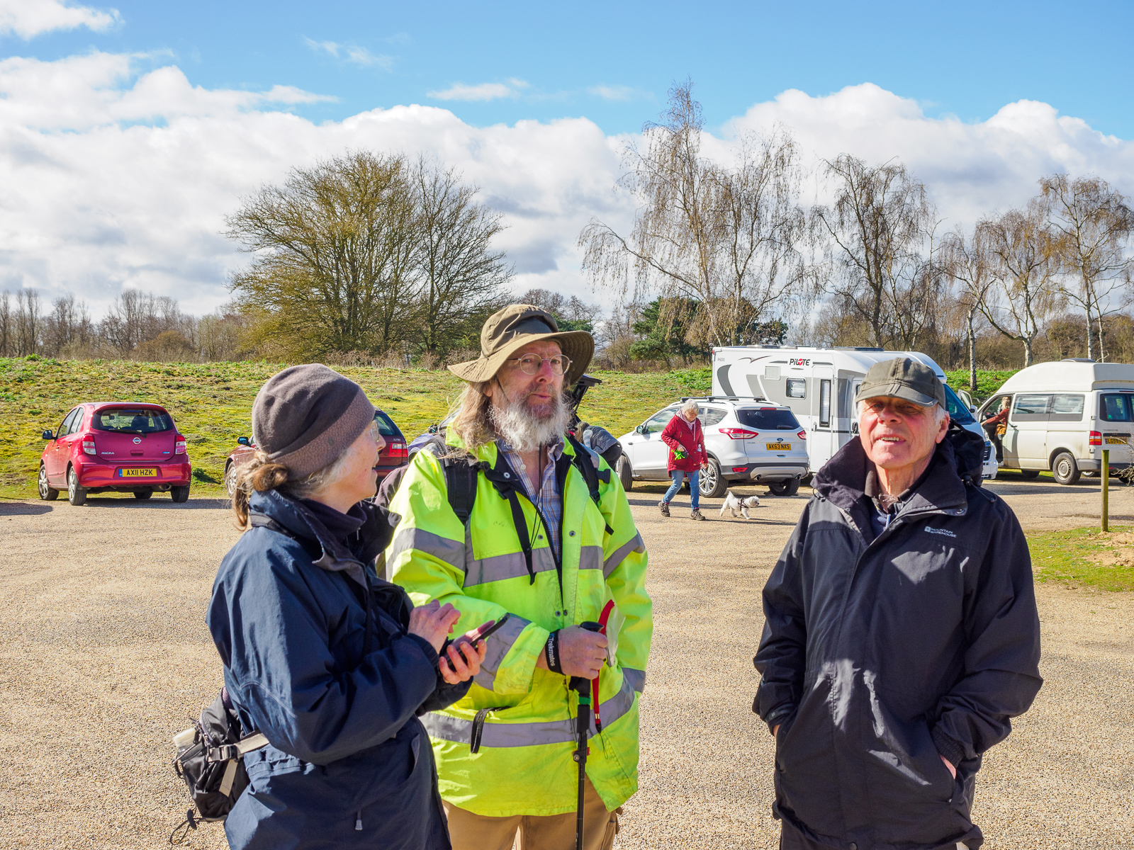
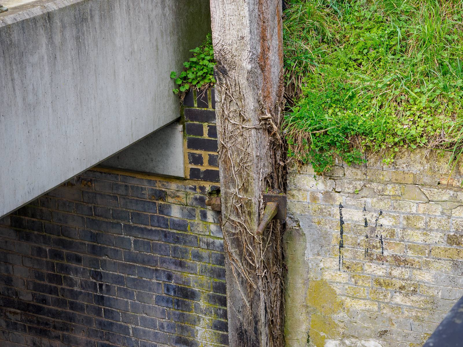
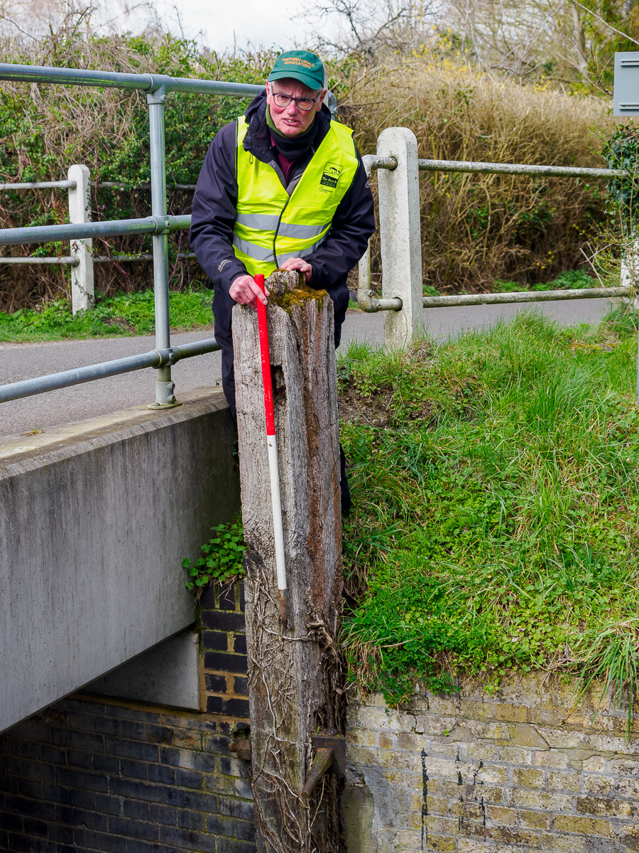
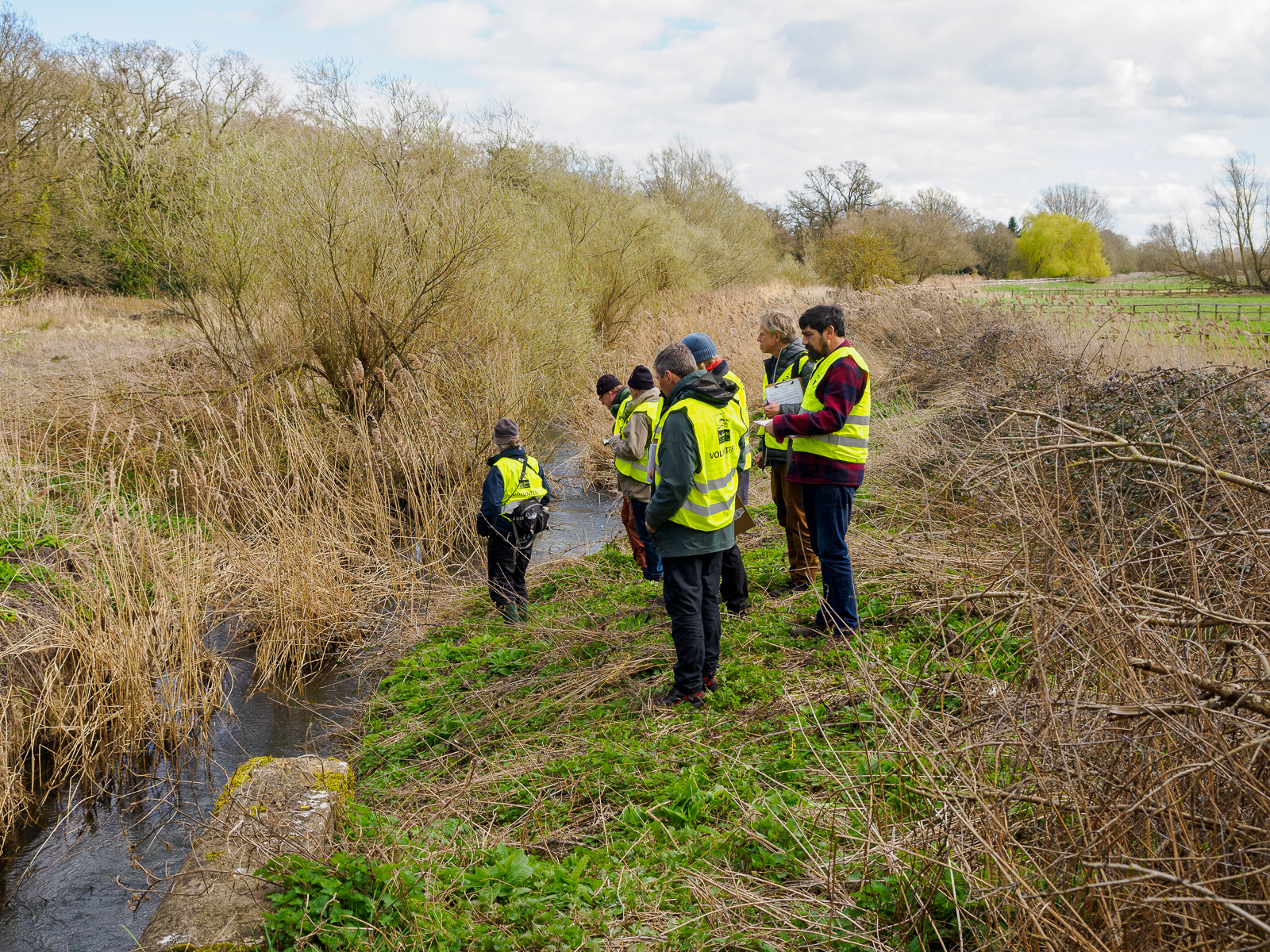
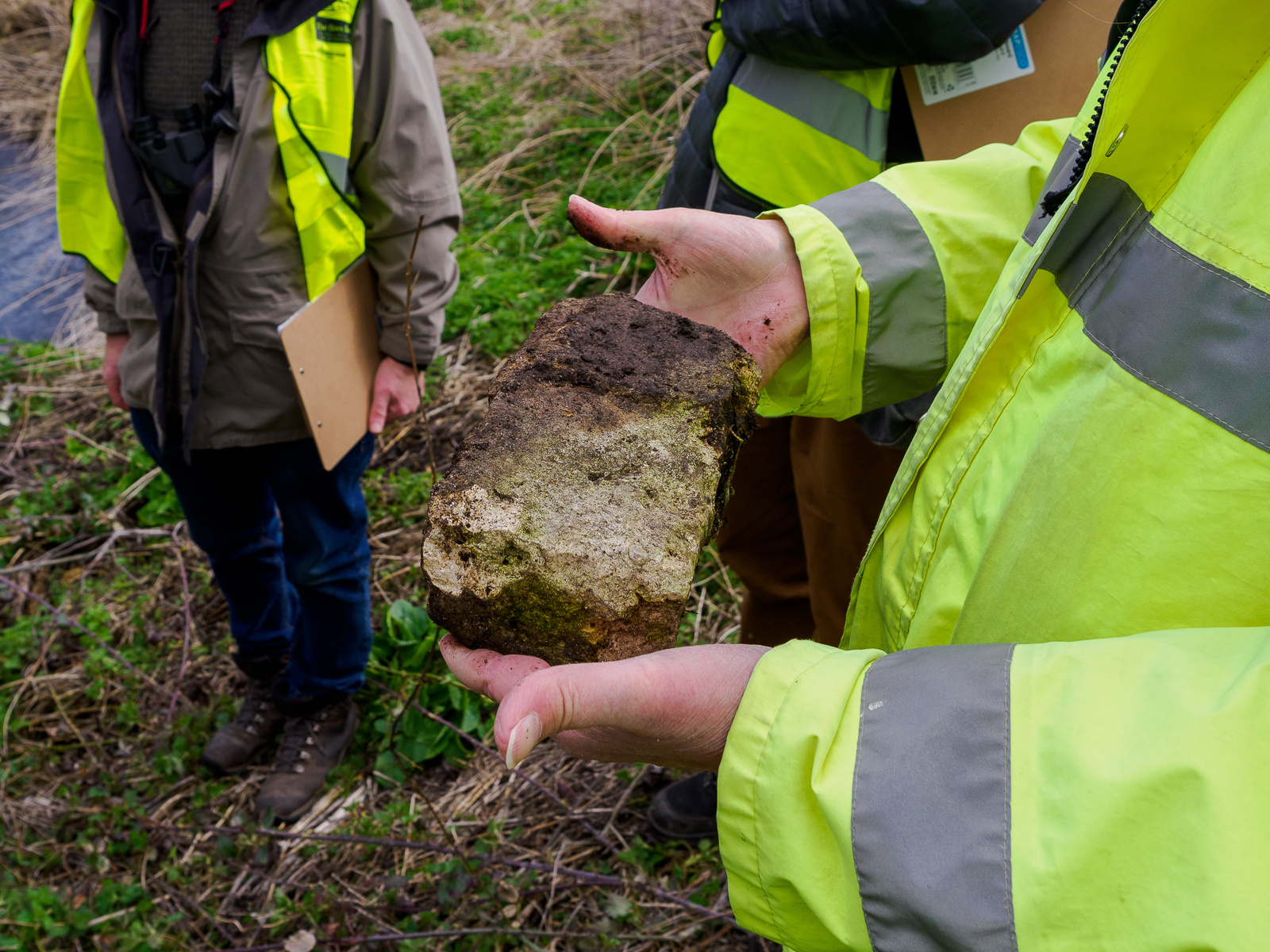
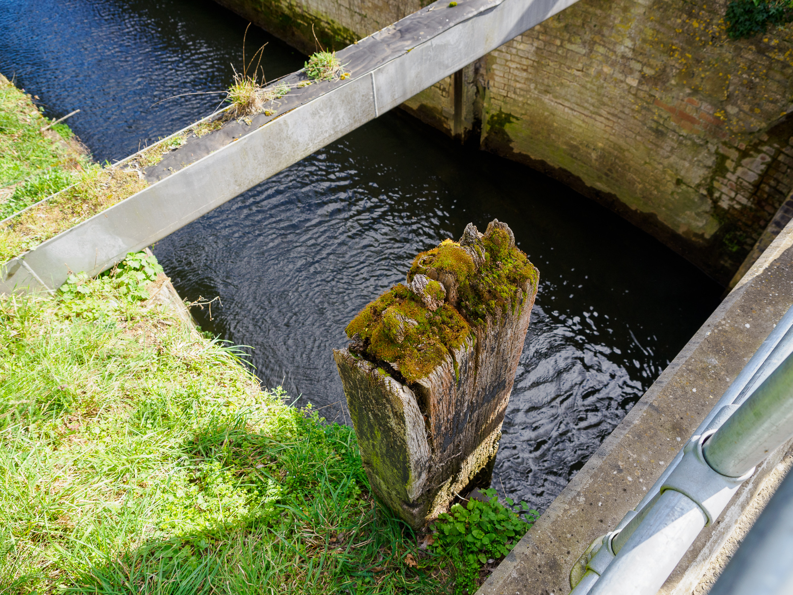
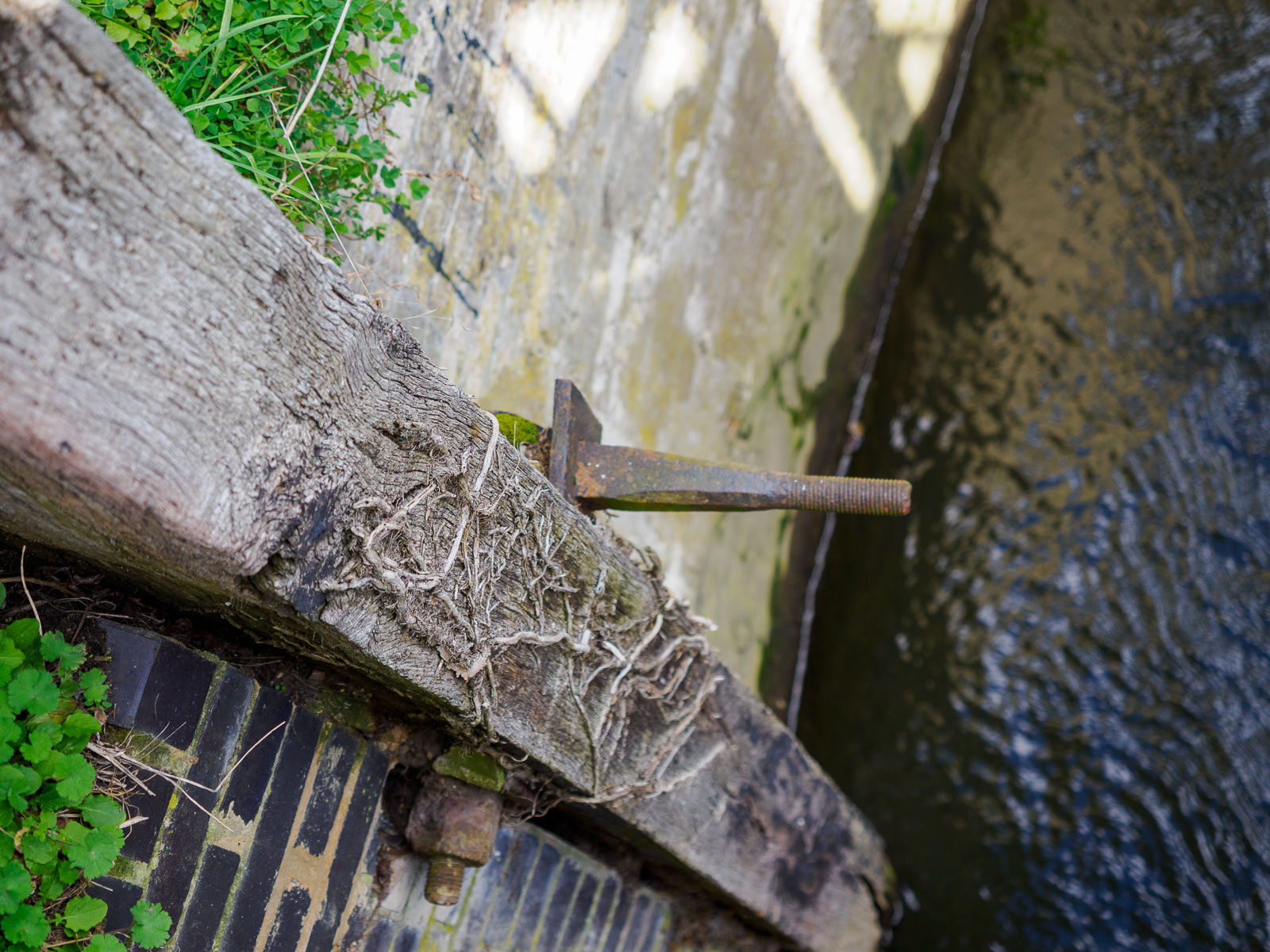
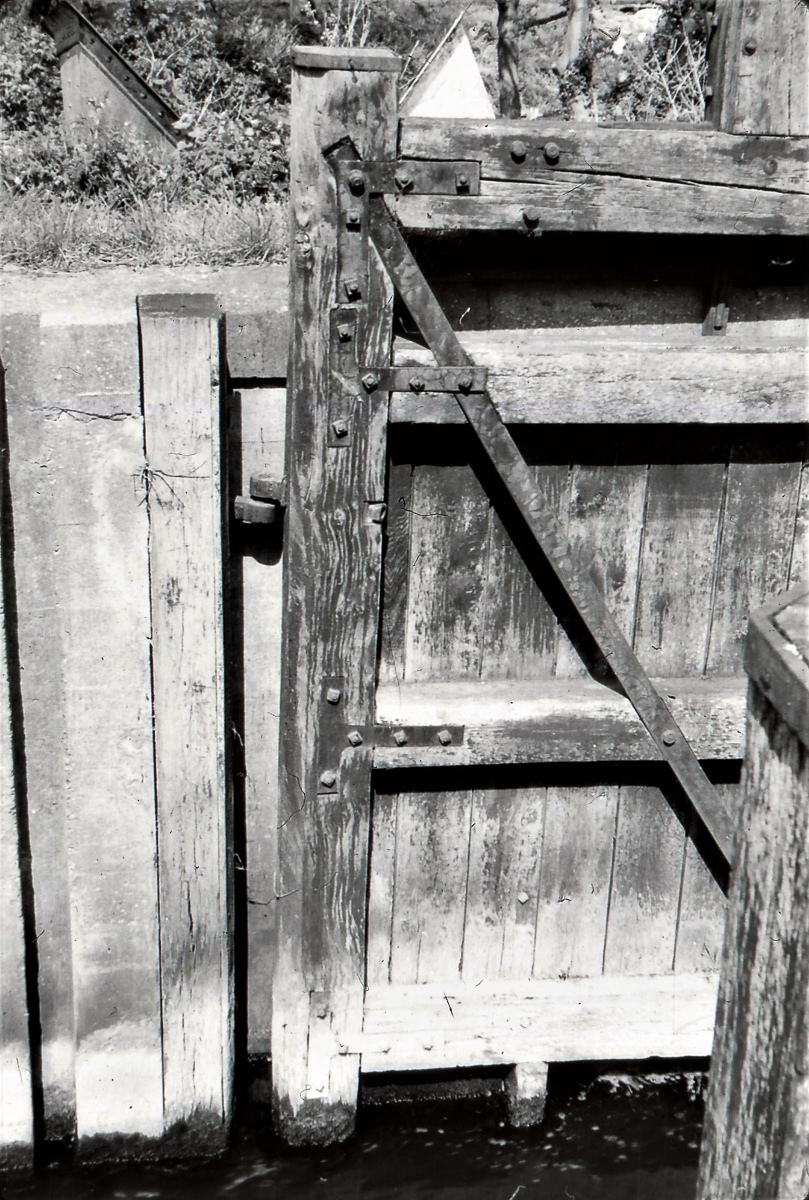
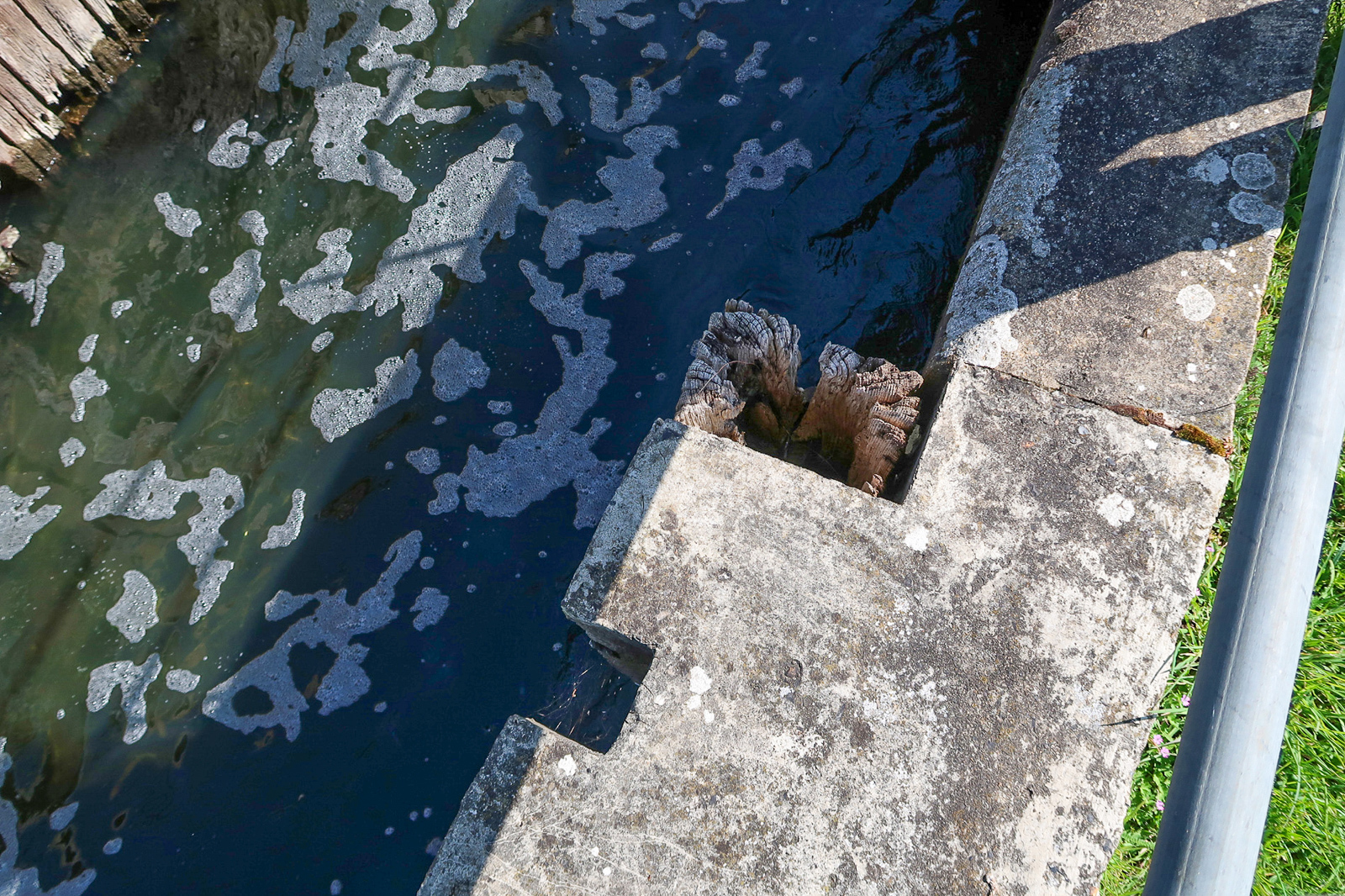
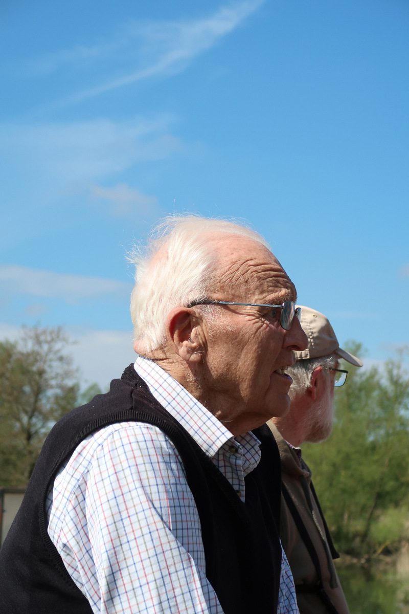
The volunteers visited Flempton Lock and several other locations in March 2023. One picture shows inland waterways expert Ivan Cane holding the pintle of a former lock gate; Ivan believes this to be the oldest surviving wooden part of any former structure on the whole of the Lark Navigation.
Boyden Sluice ??
Location uncertain
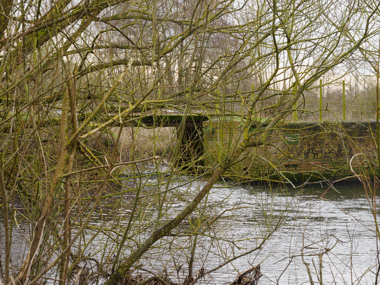
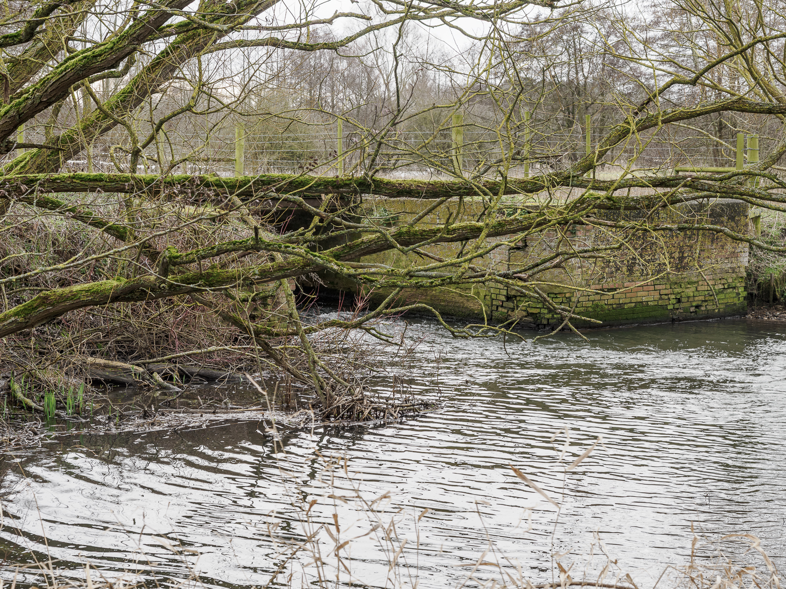
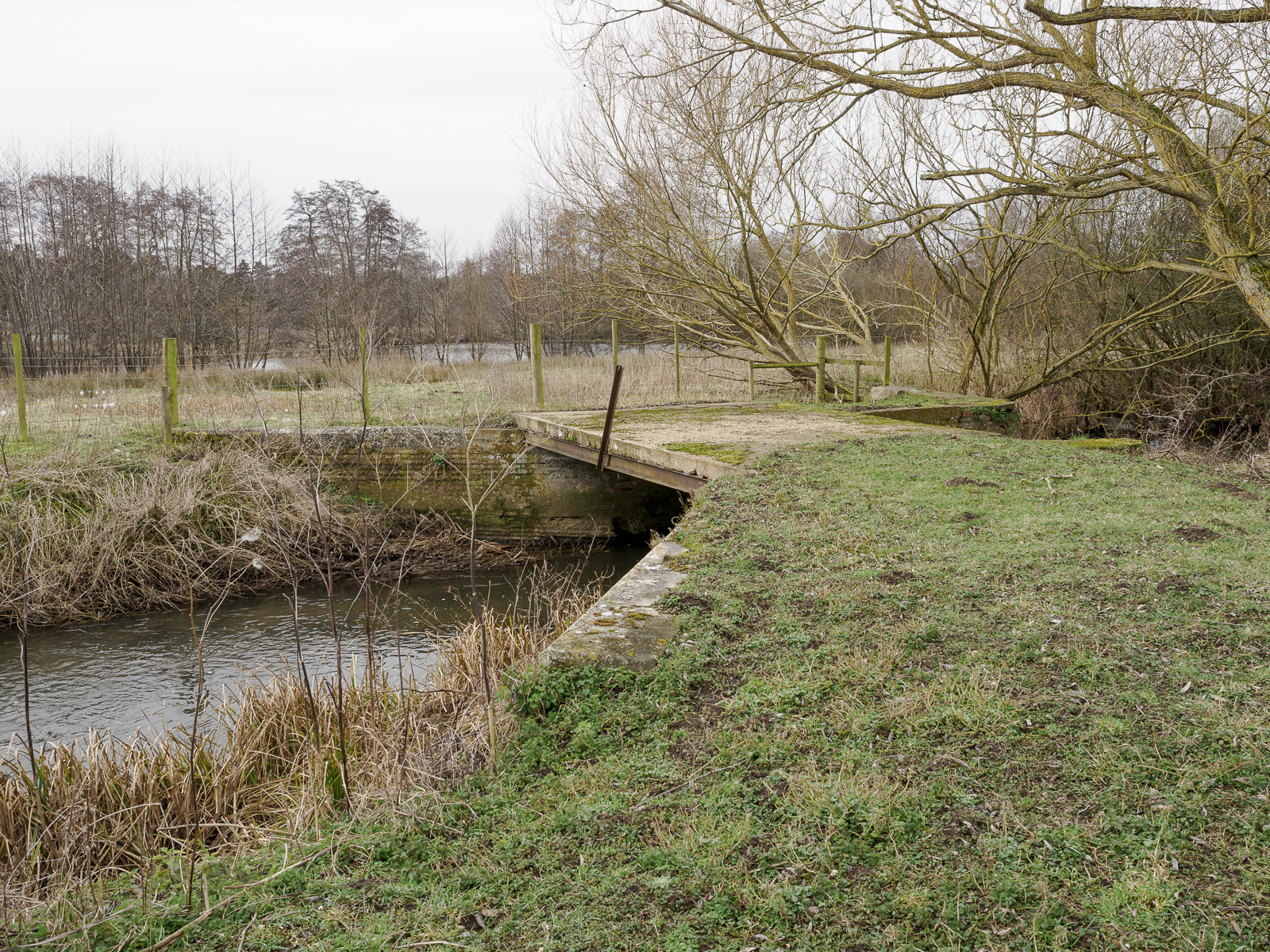
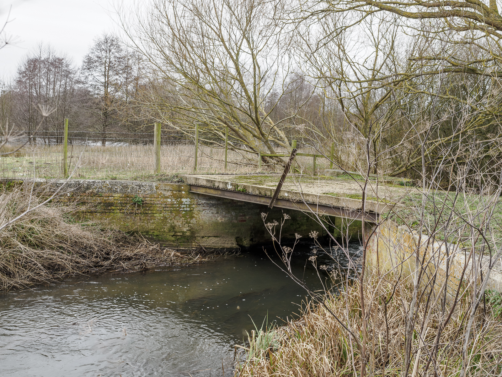
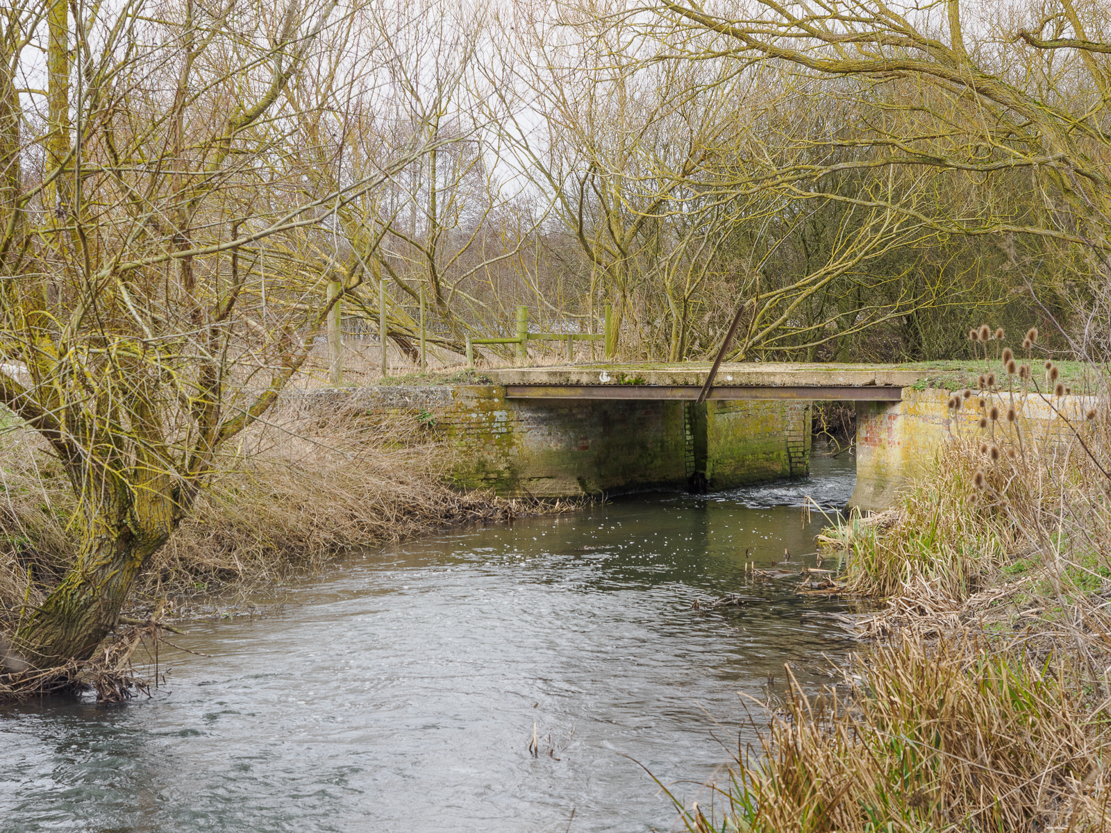
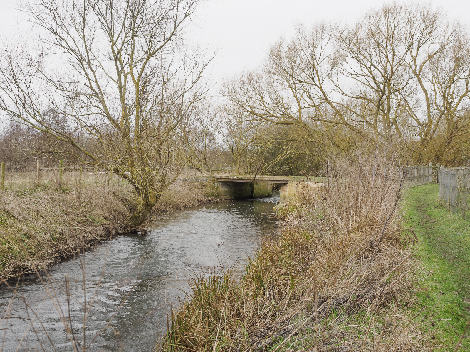
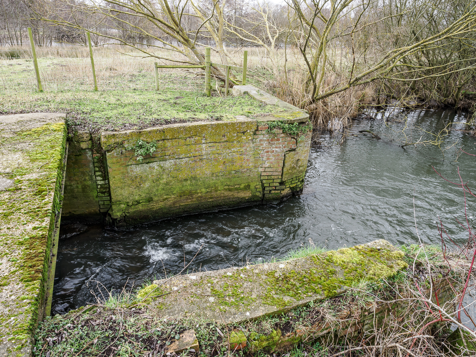
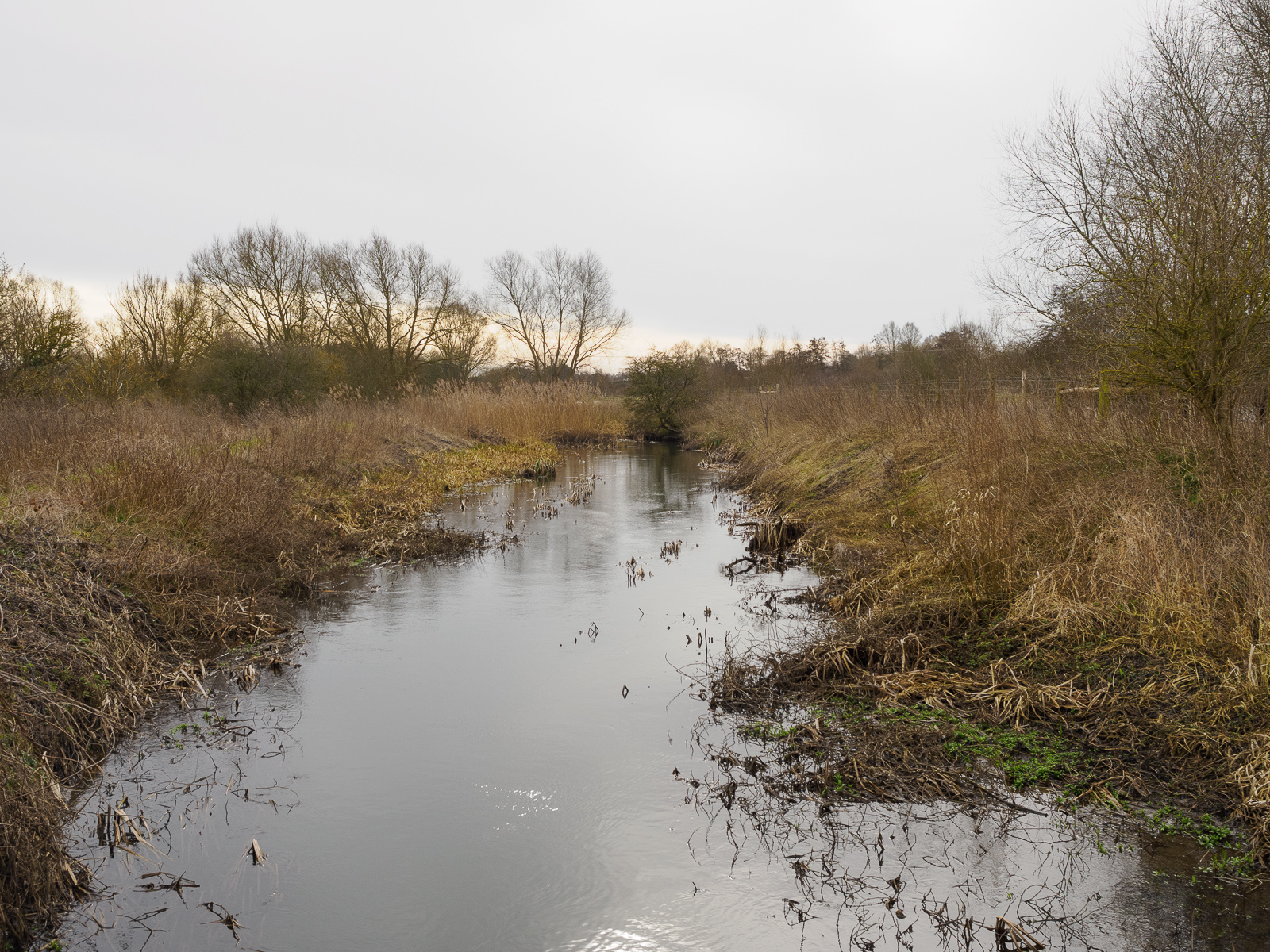
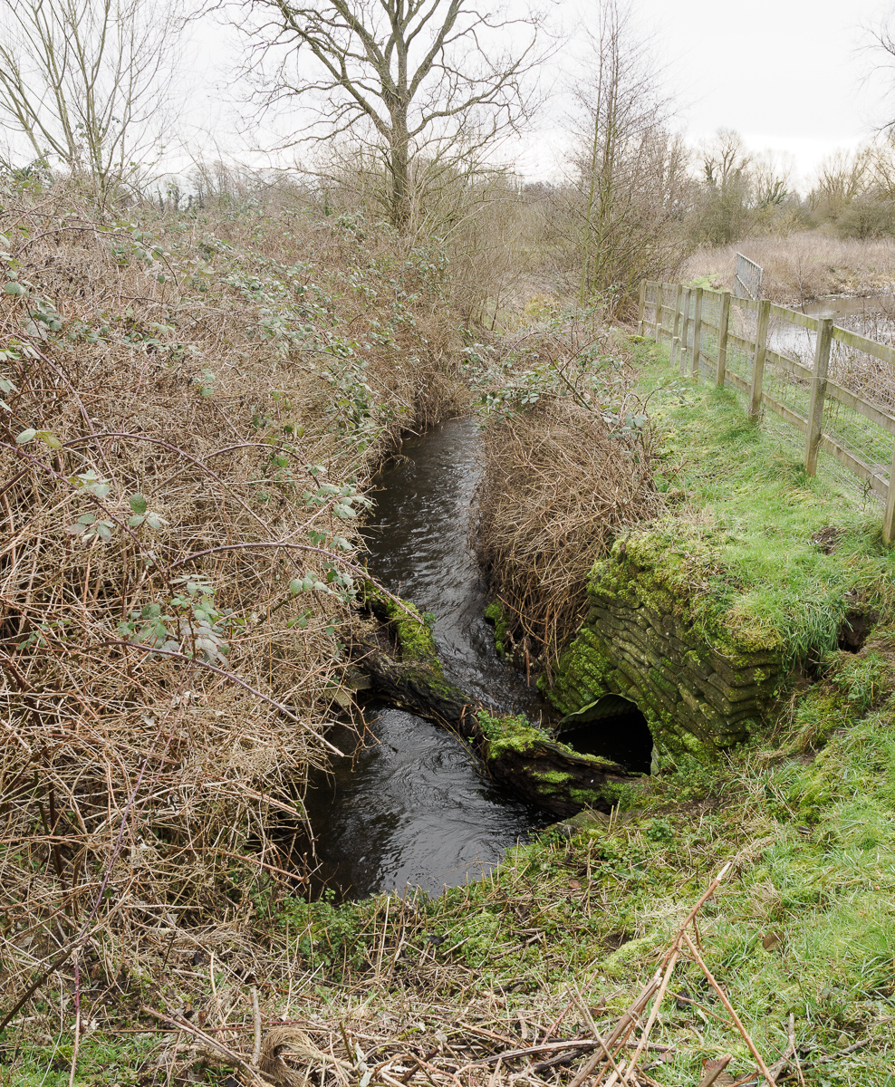
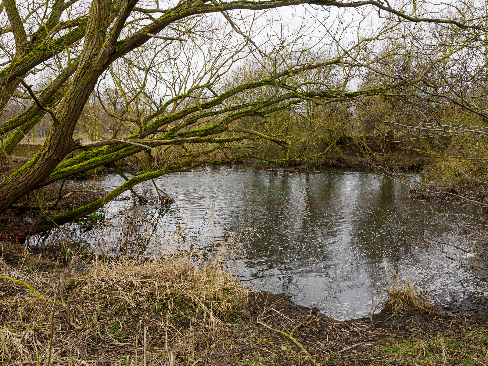
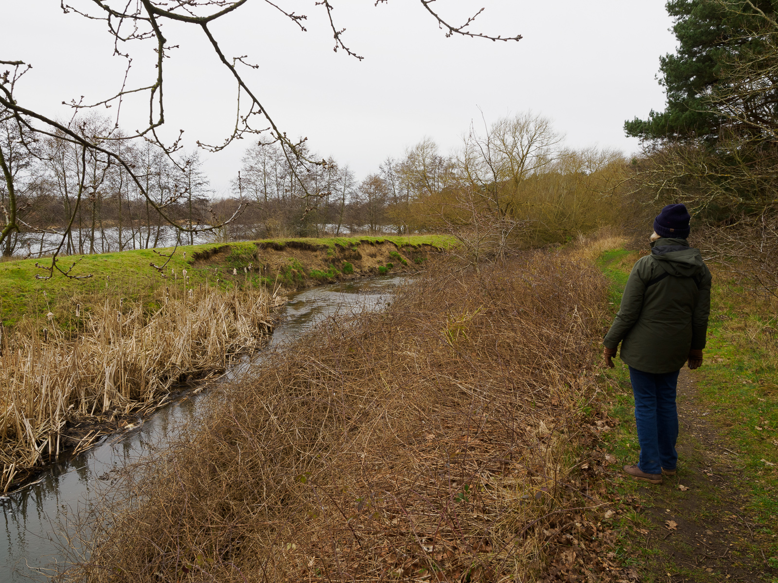
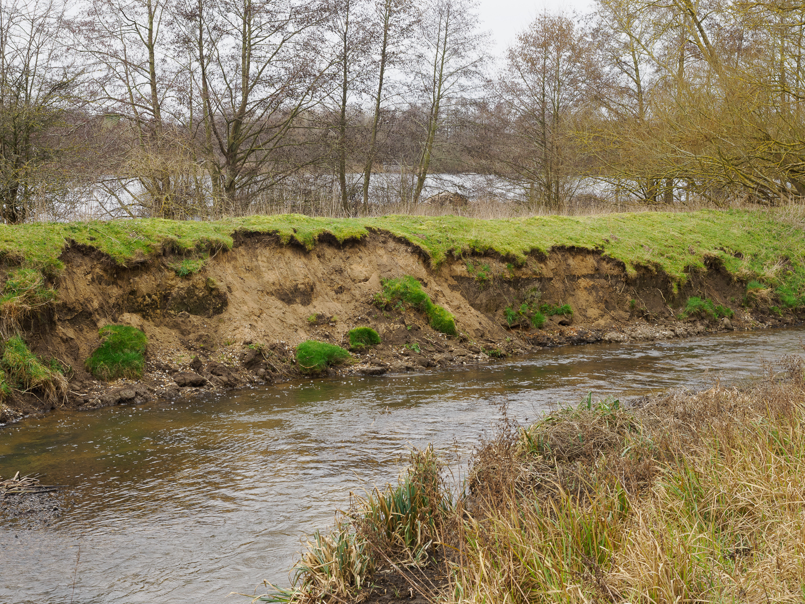
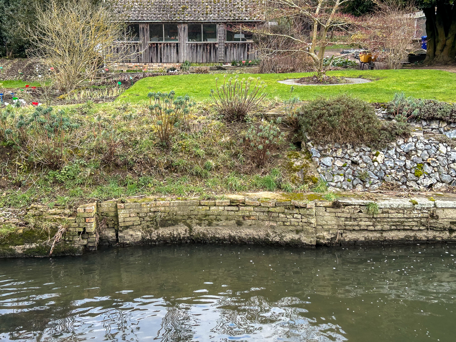
West Stow Staunch (9)
Grid ref. TL 8119 6560, Coordinates N52.3039 E0.6560
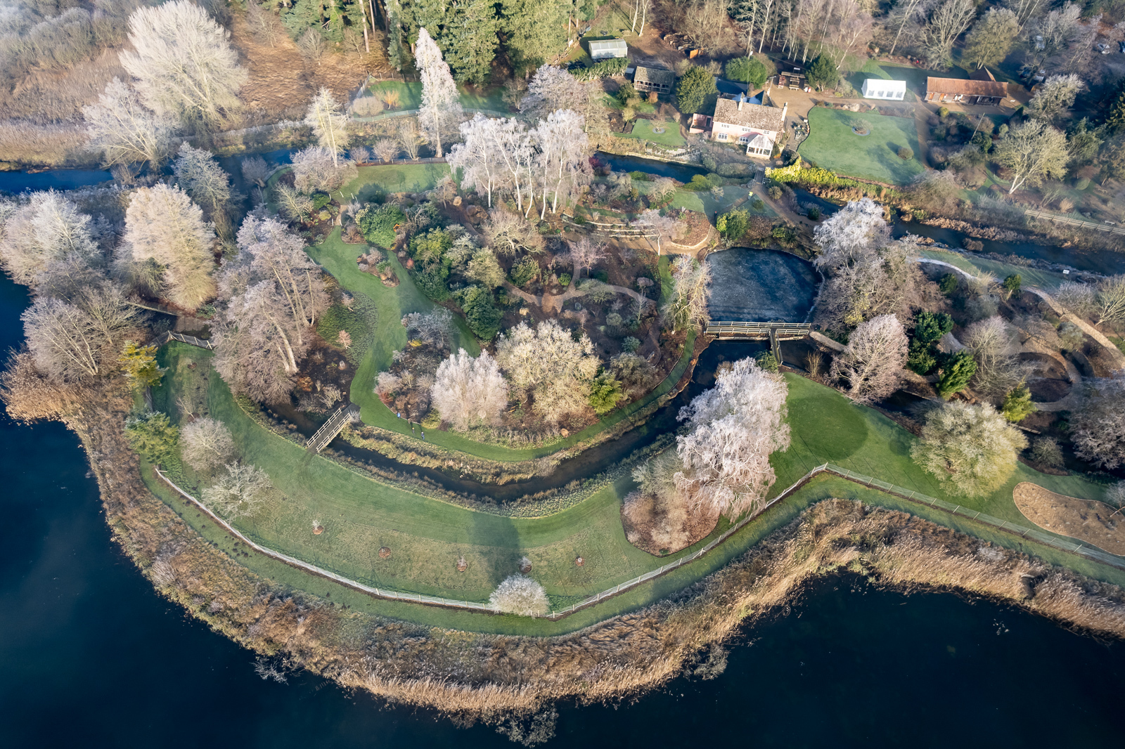
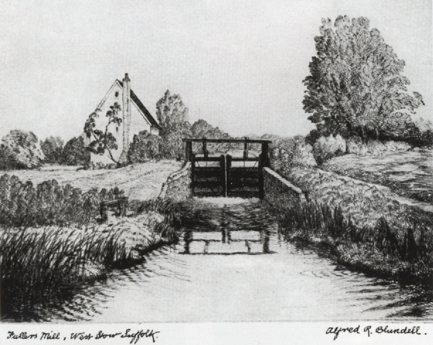
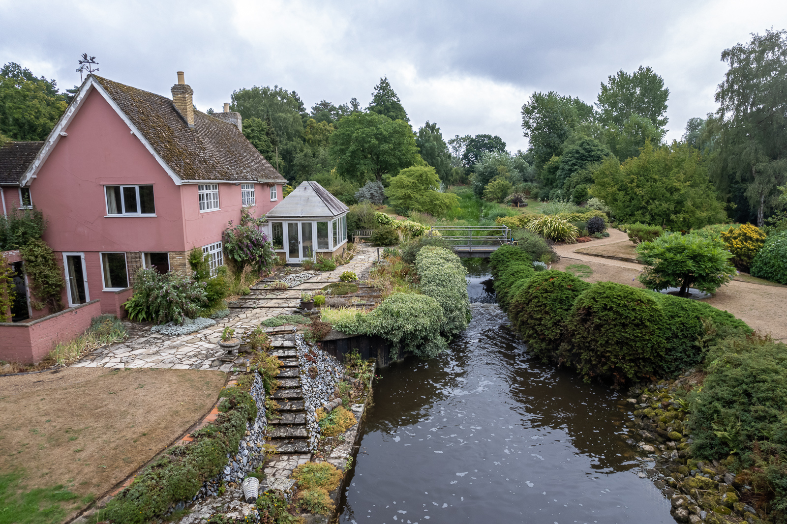
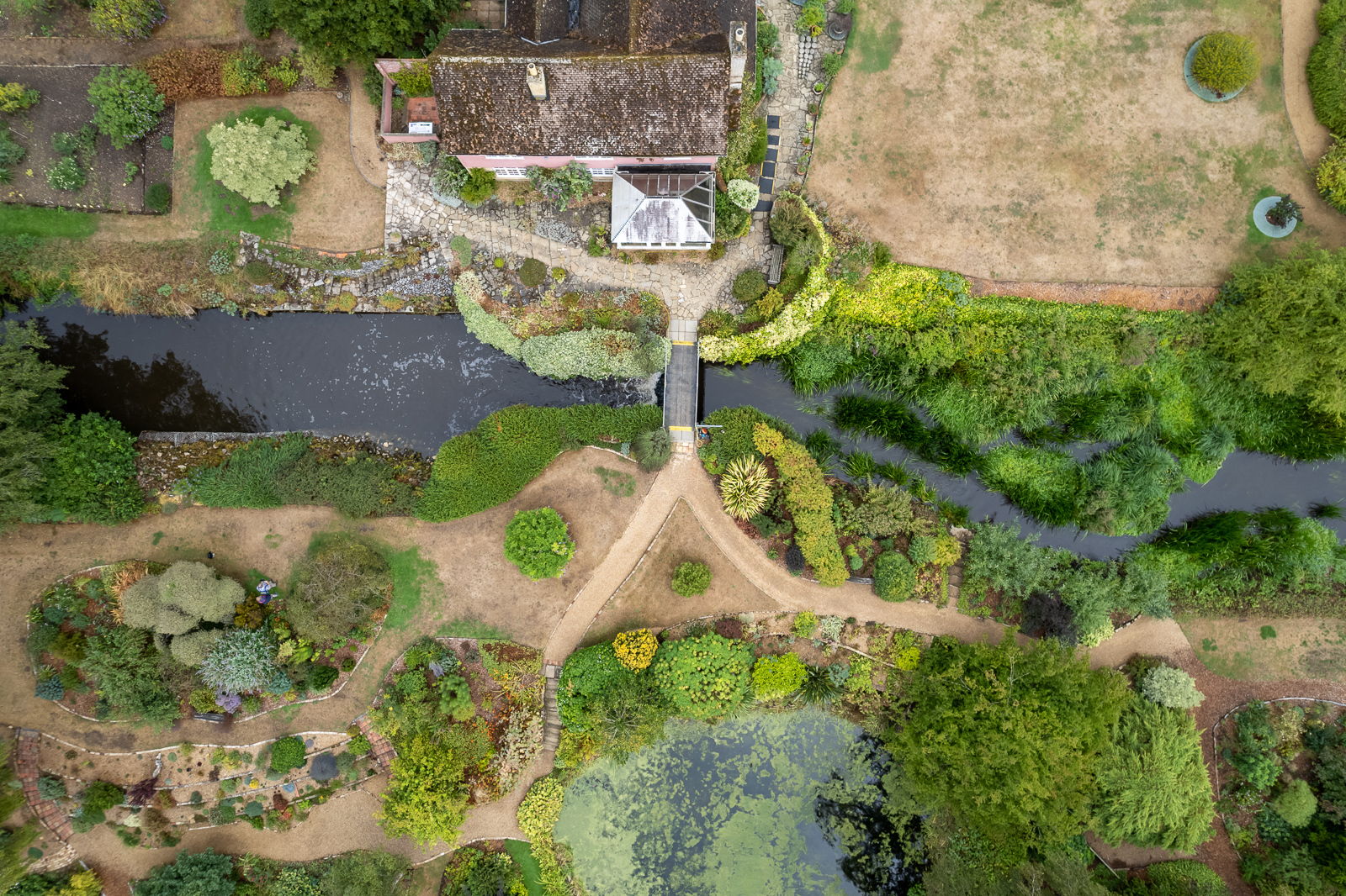
Fuller’s Mill (10)
Grid ref. TL 8057 7094, Coordinates N52.3066 E0.6471

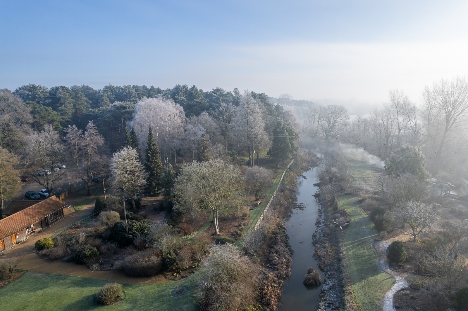

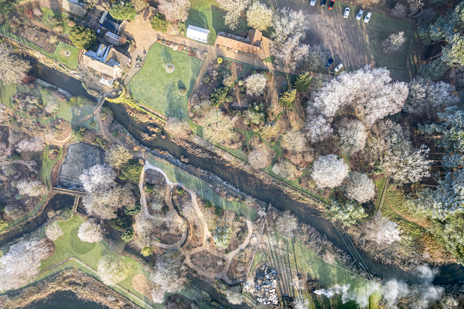
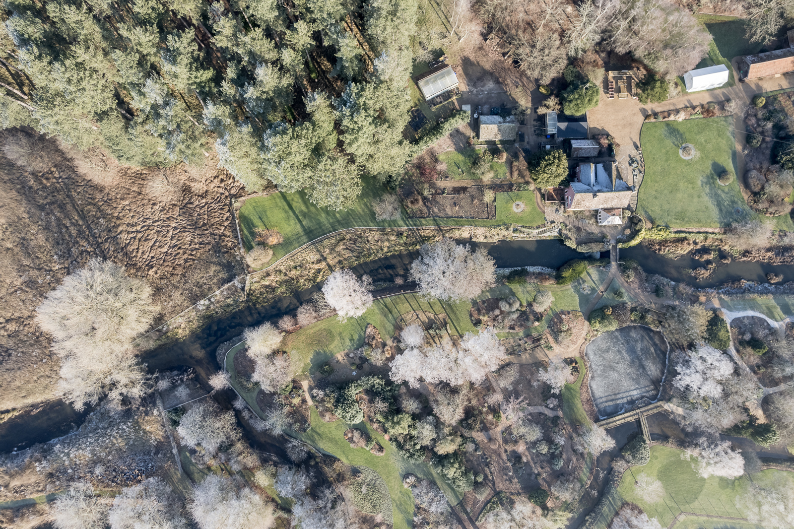
Lackford Staunch, near West Stow (11)
Grid ref. TL 8012 7108, Coordinates N52.3083 E0.6406
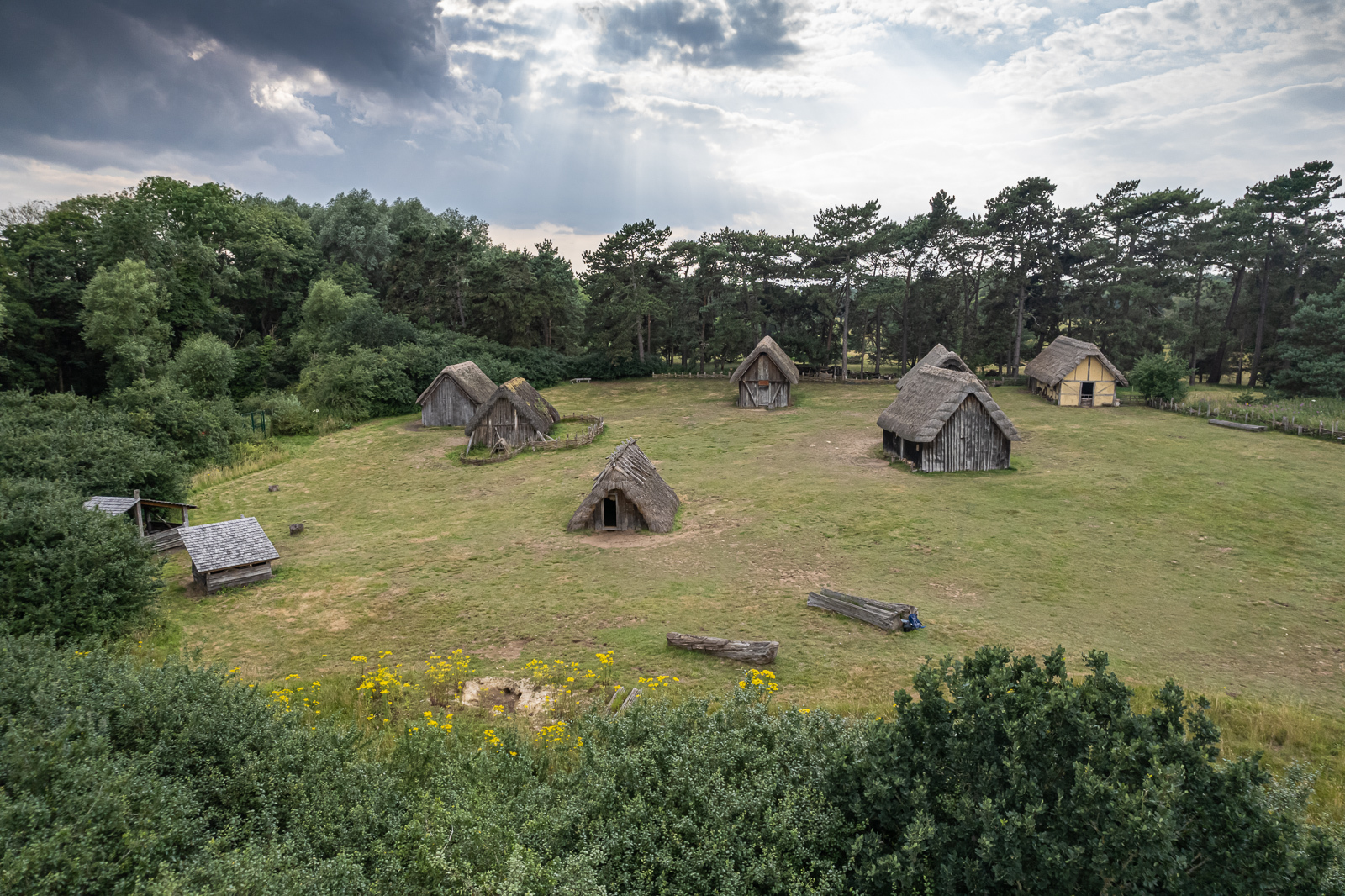

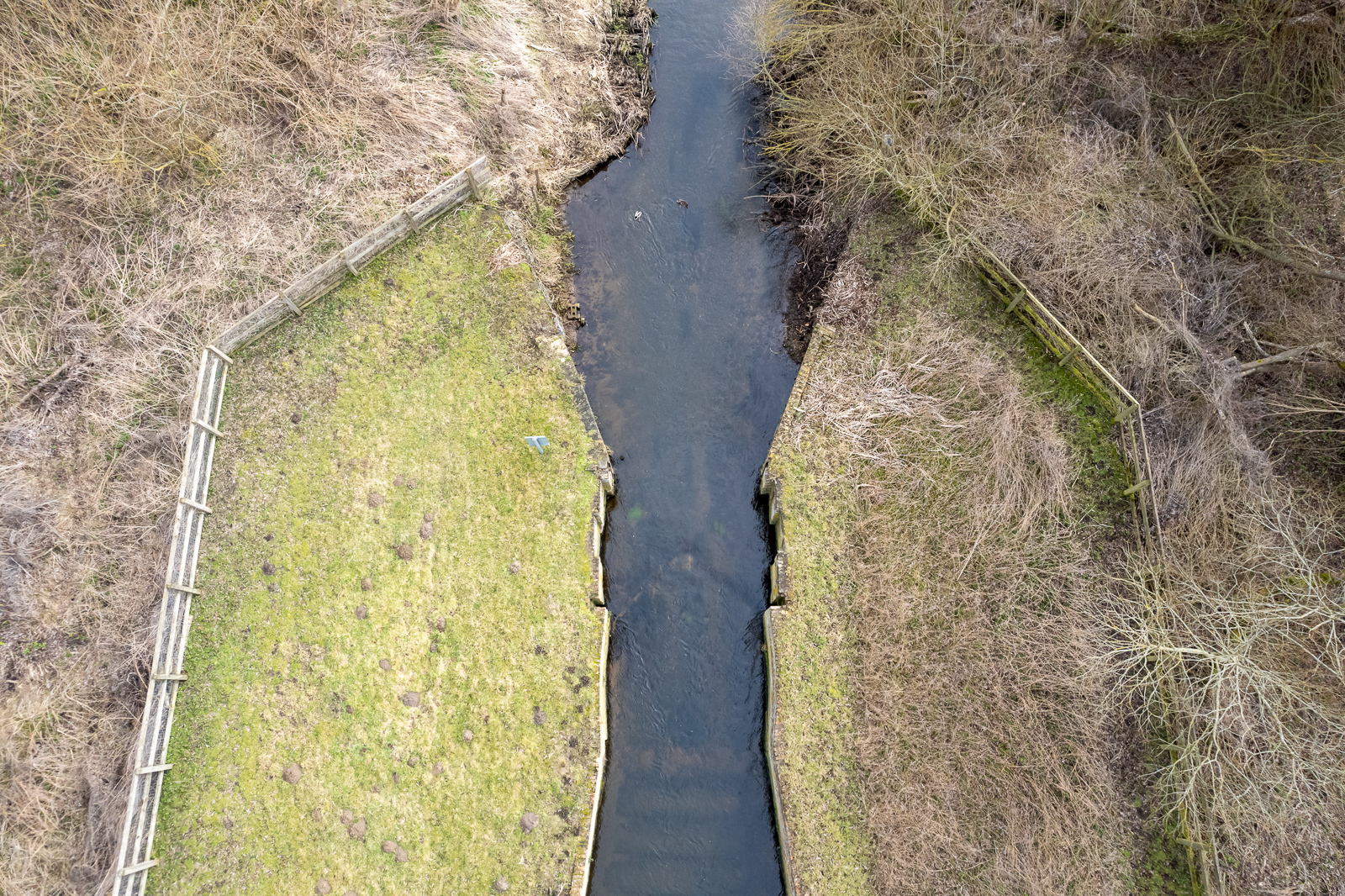


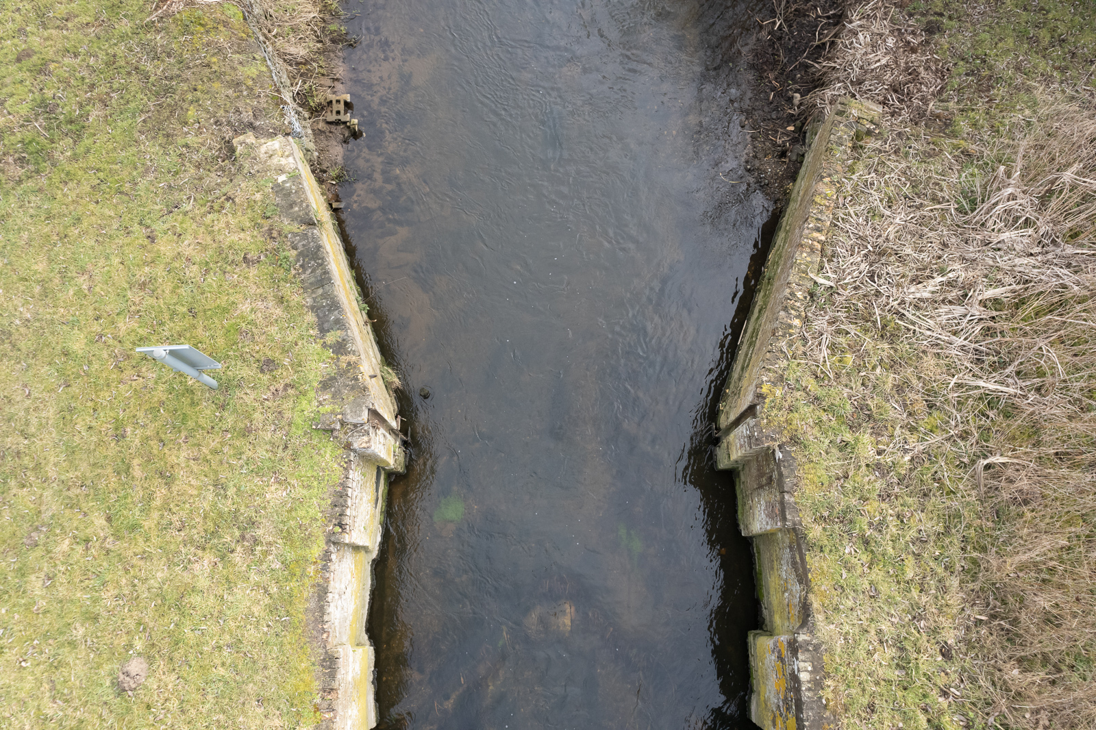
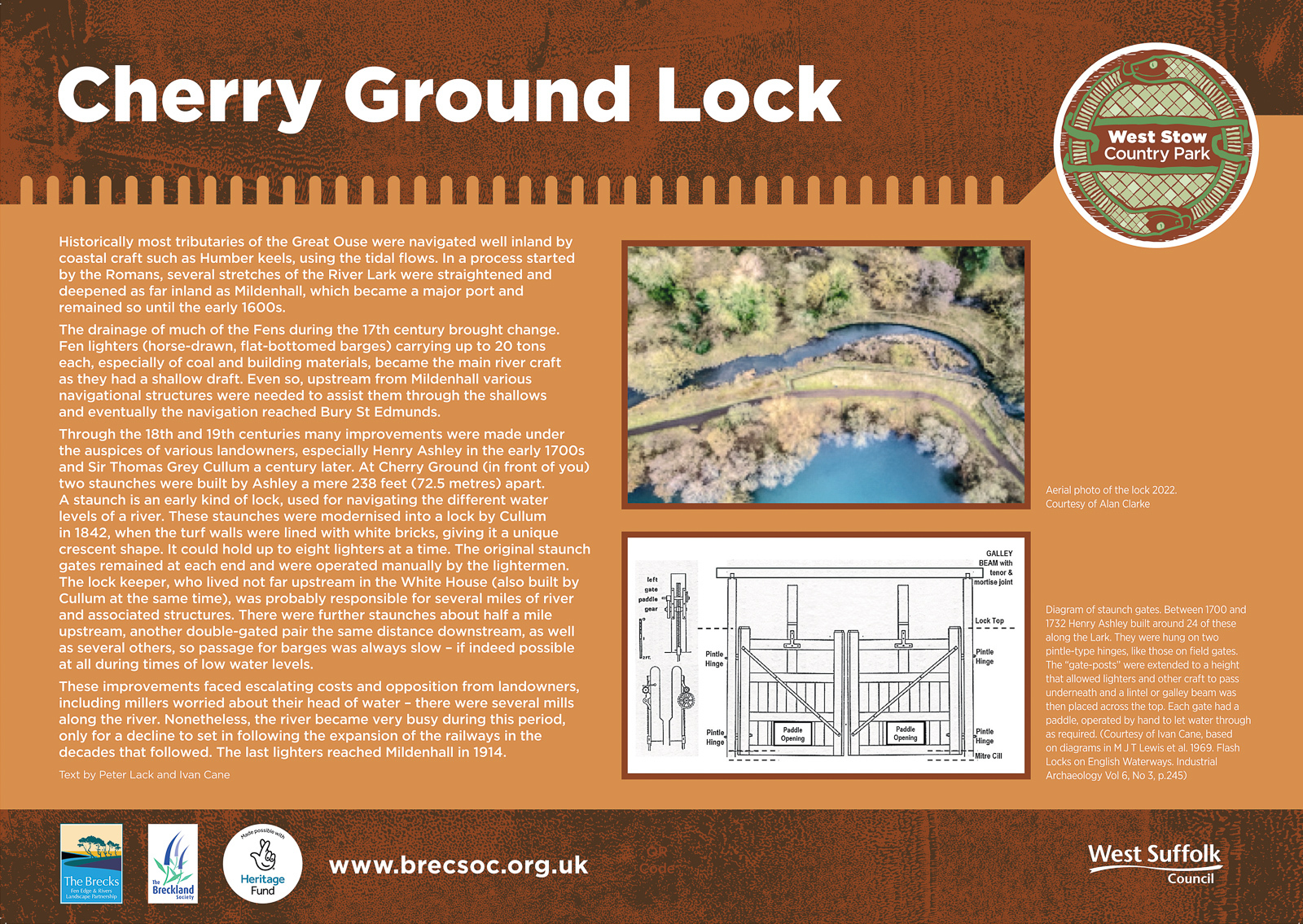
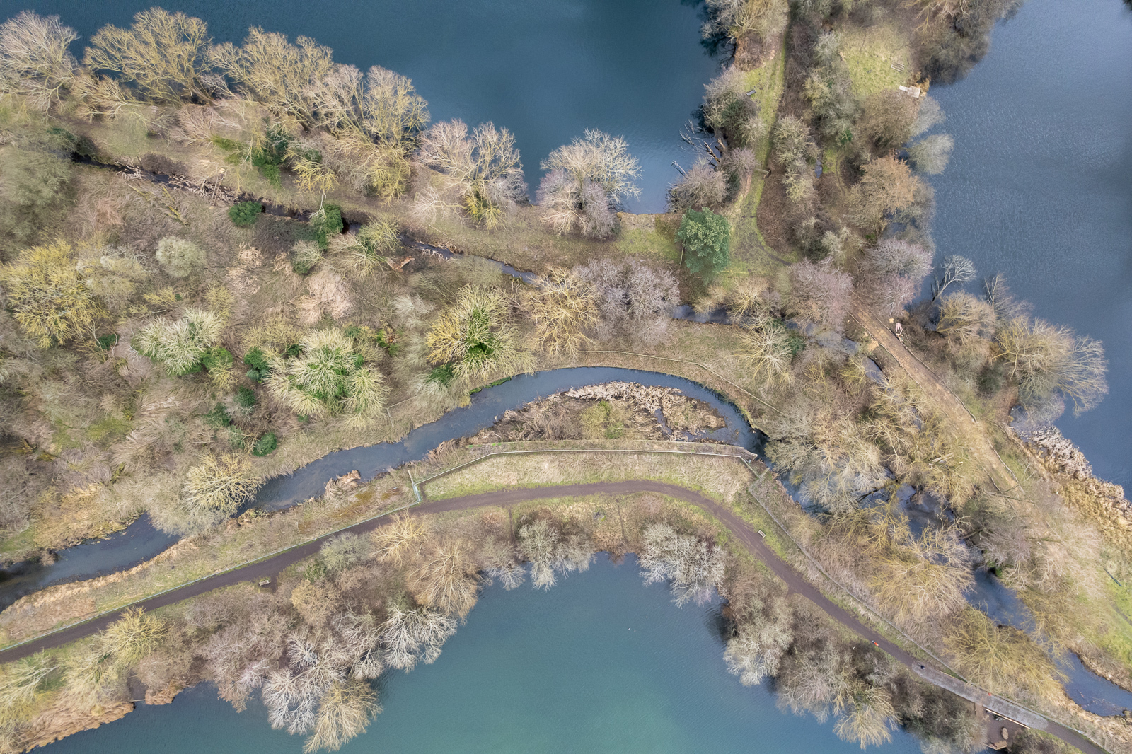
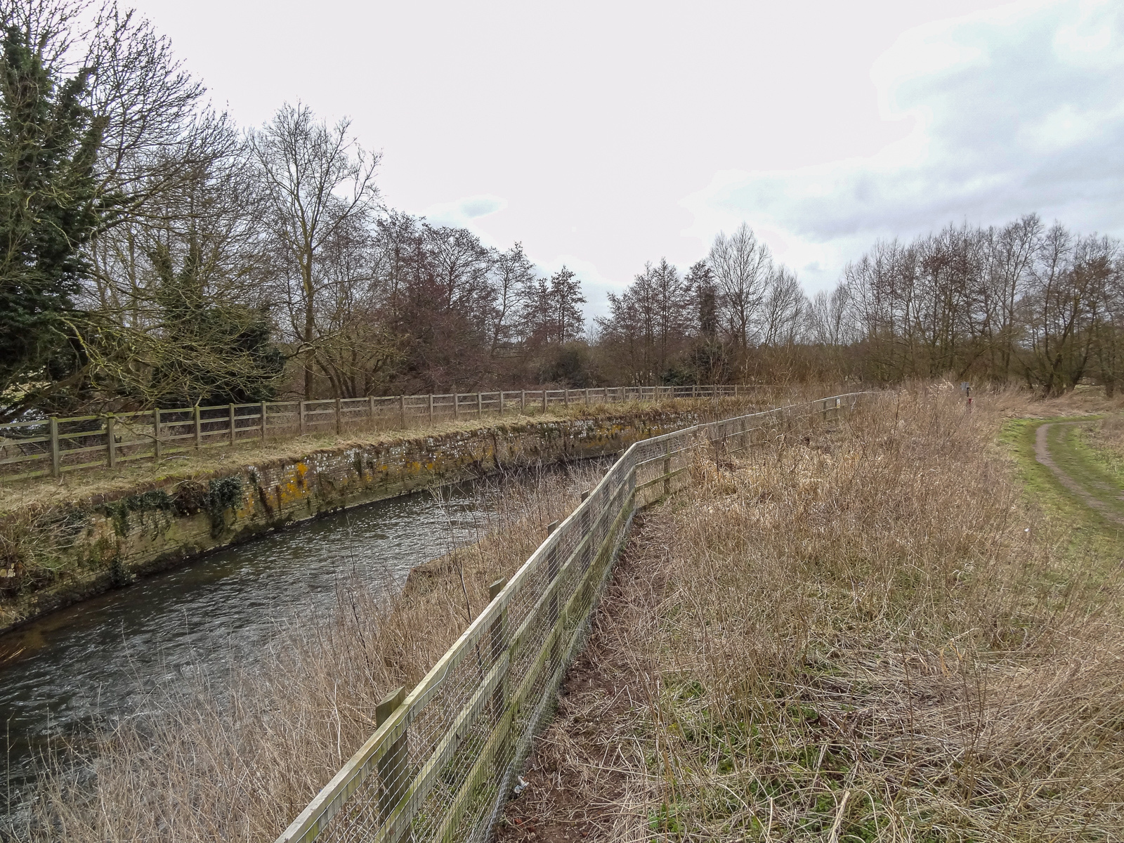
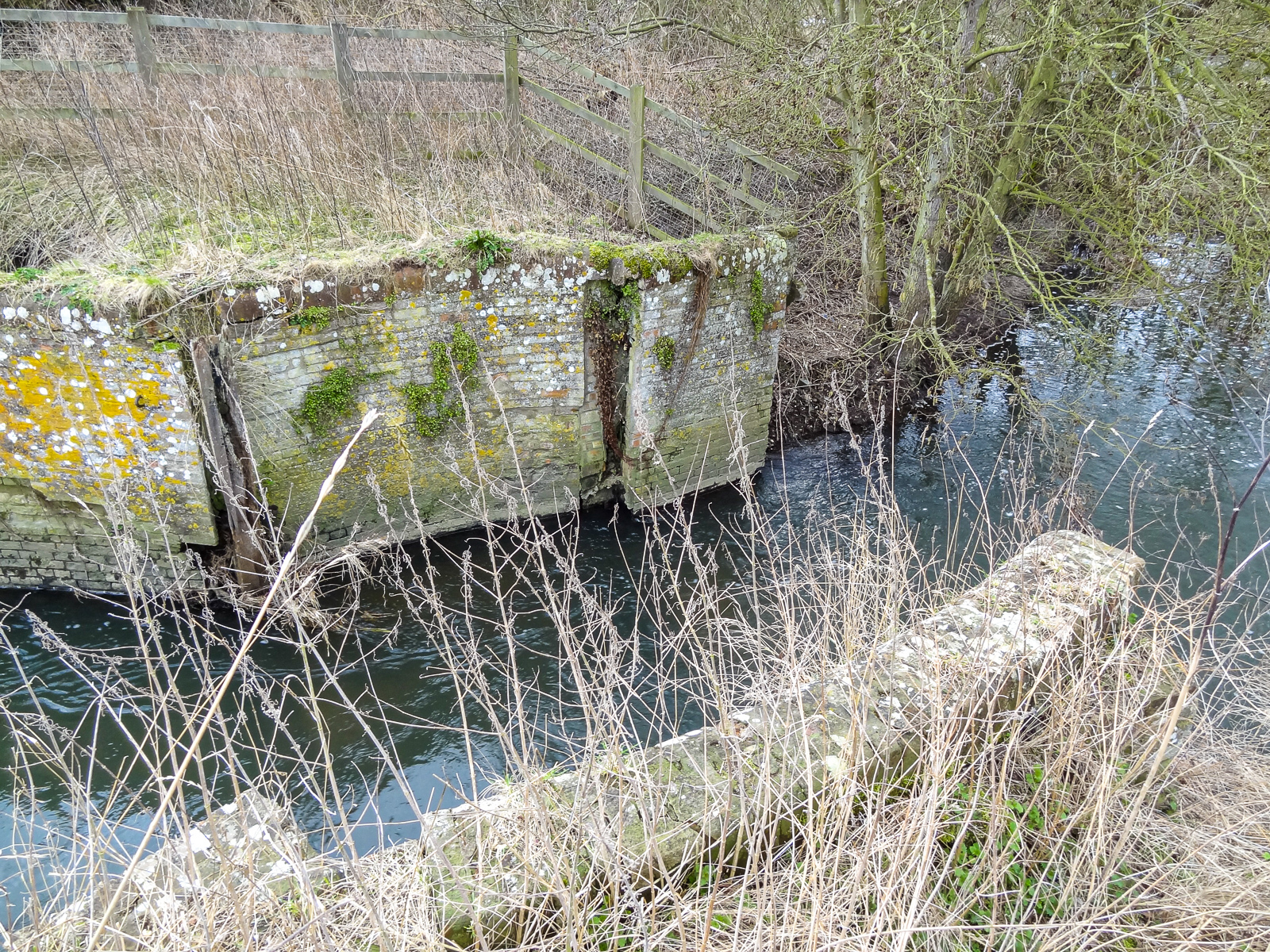
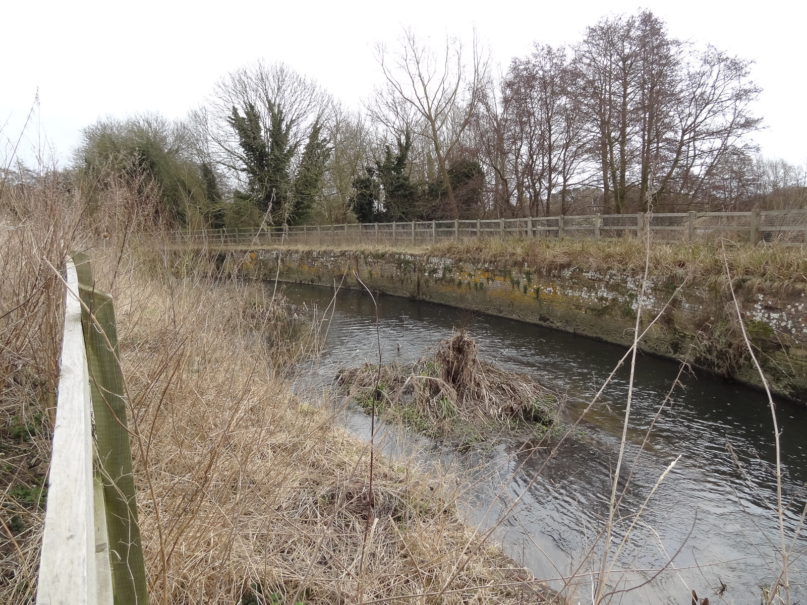
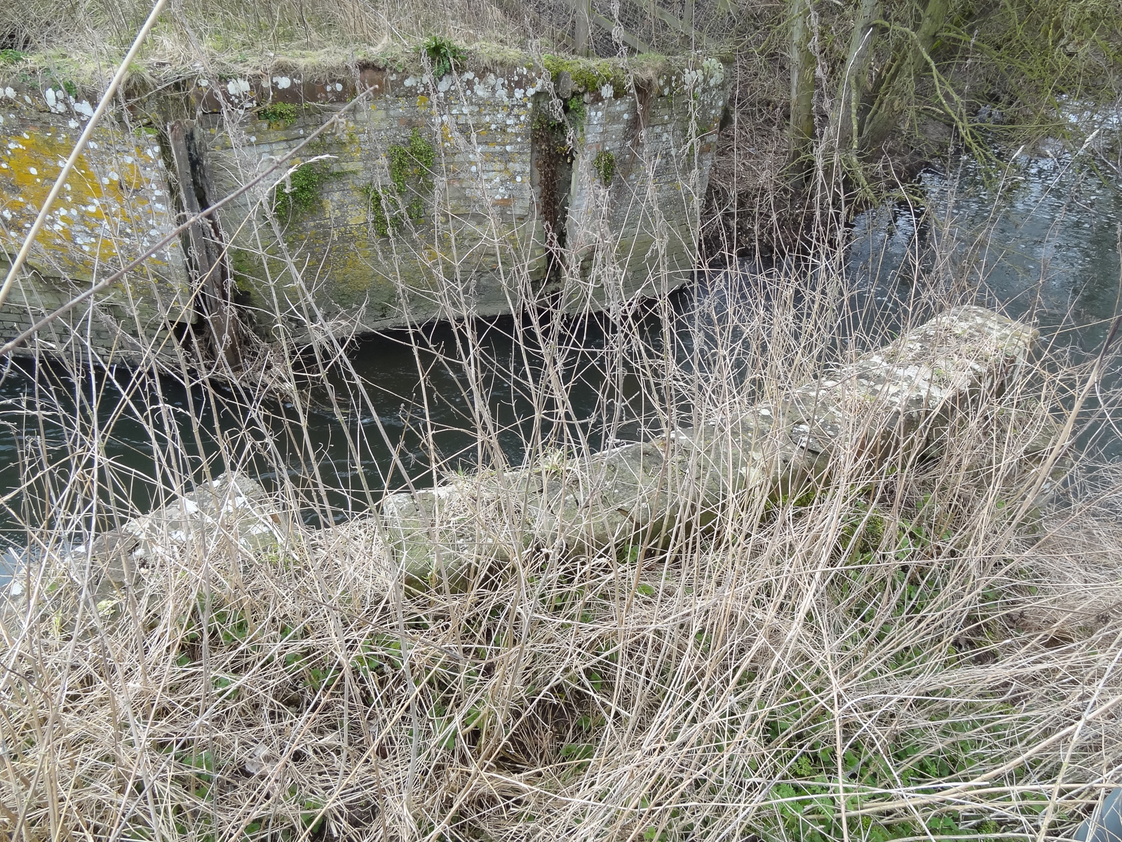
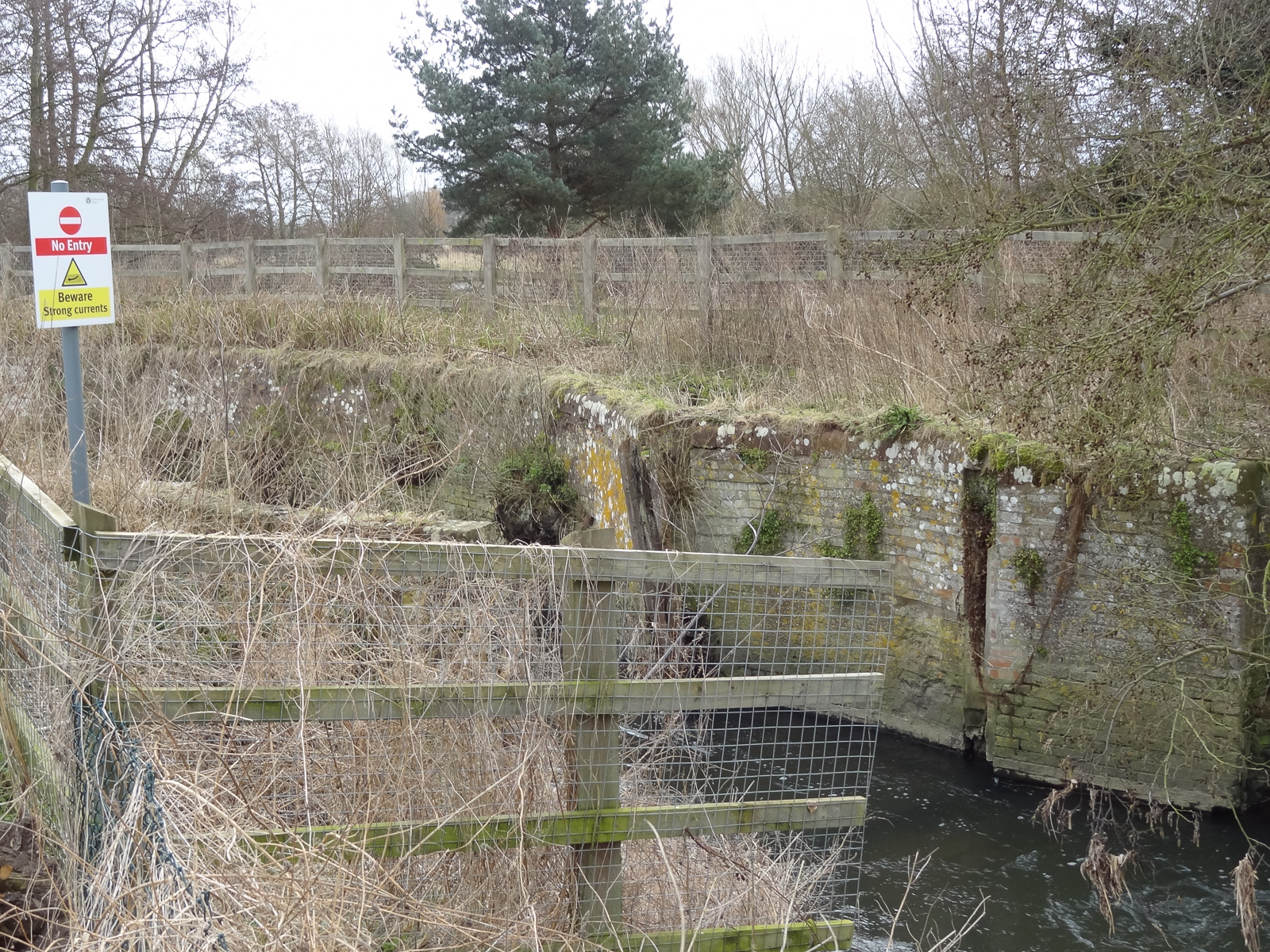
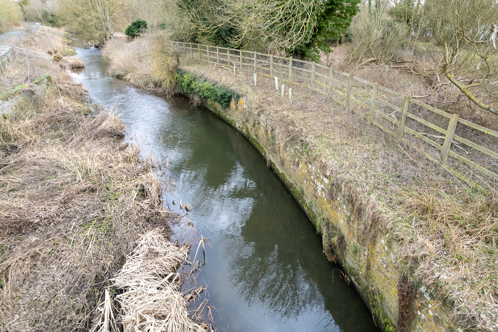
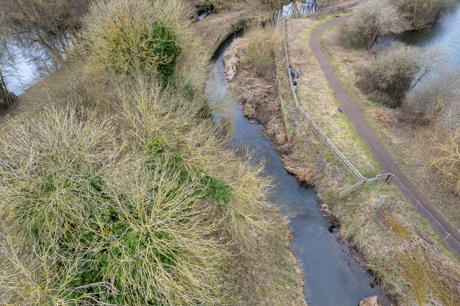
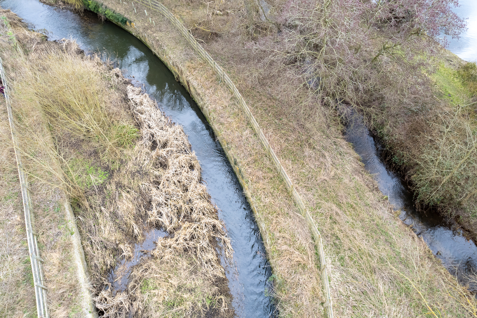
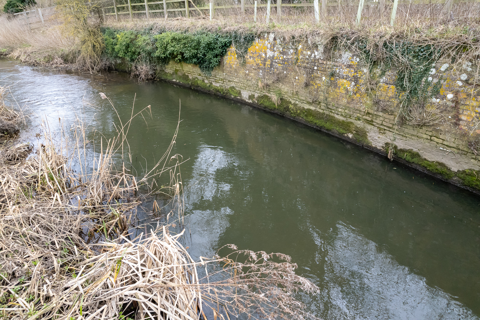
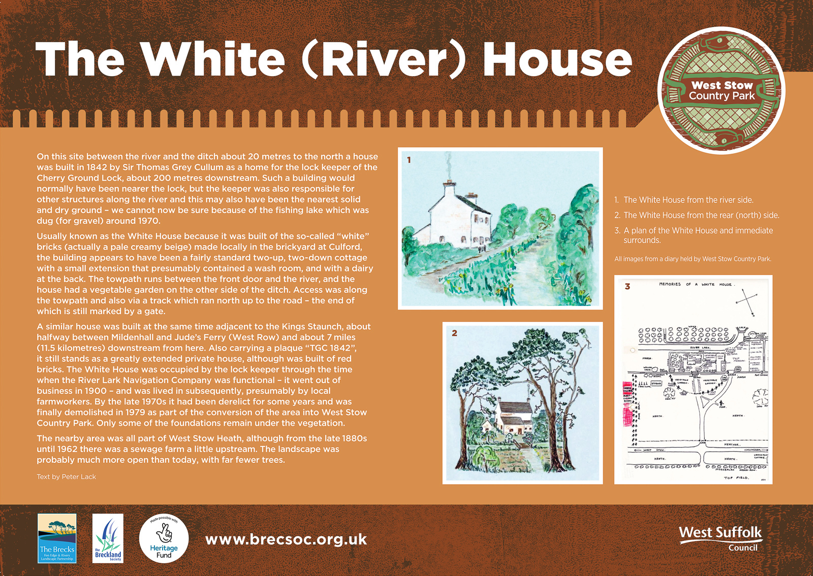
Cherry Ground Lock
Grid ref. TL 7930 7105, Coordinates N52.3083 E0.6286
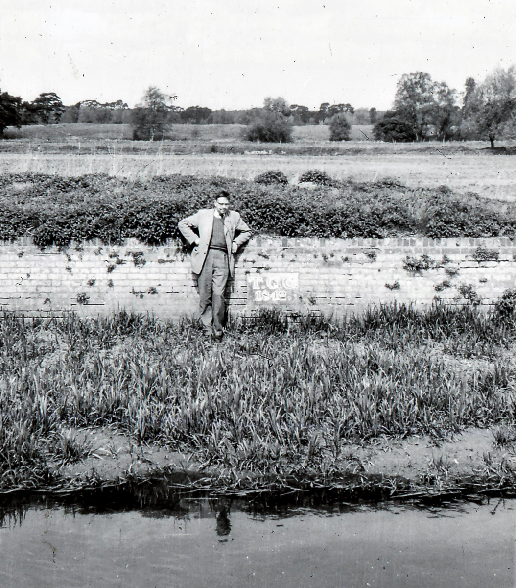
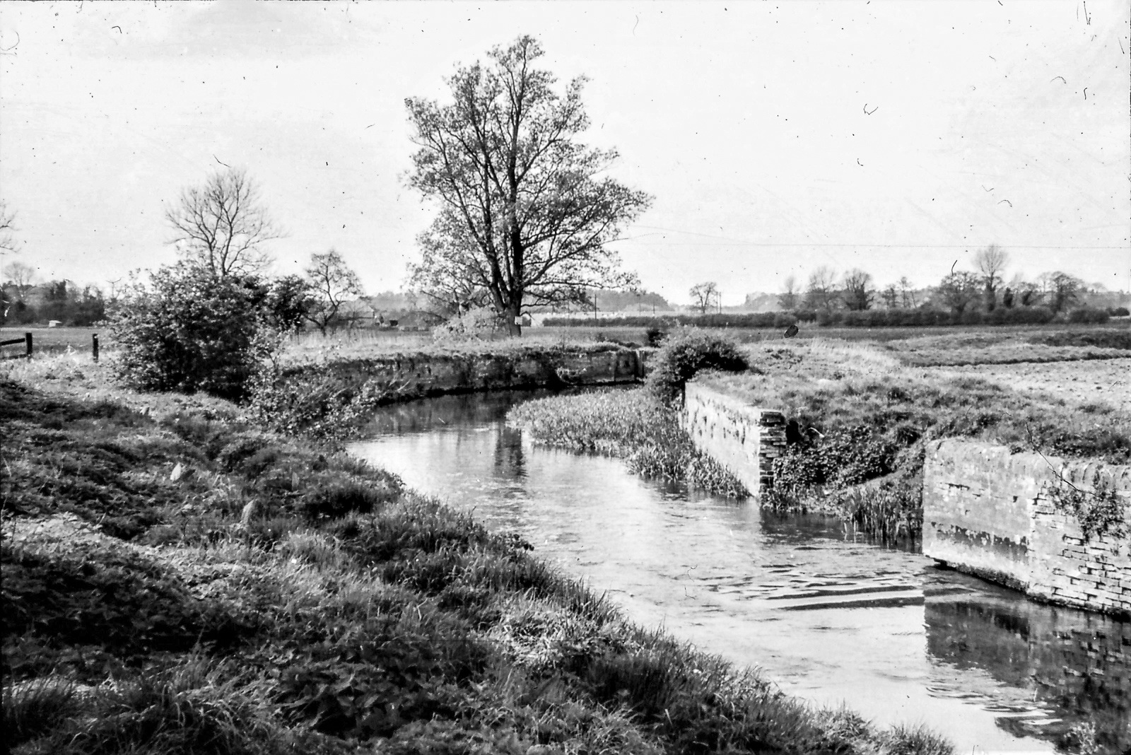

Mill Heath Staunches (13 & 14)
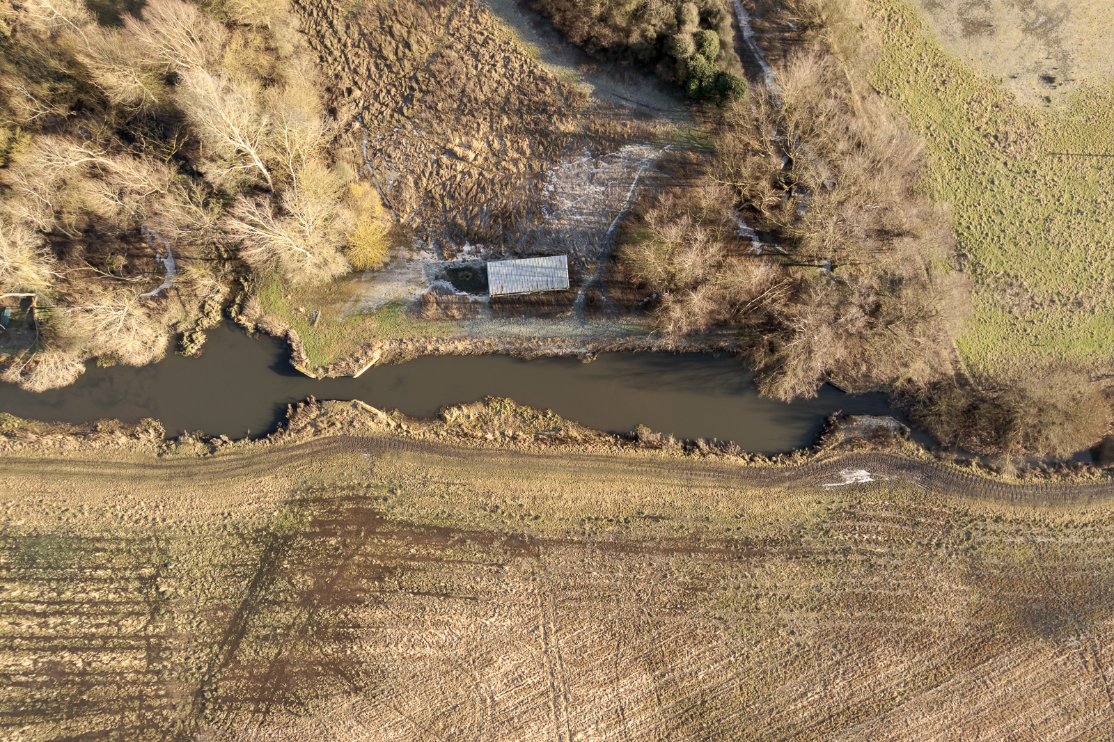
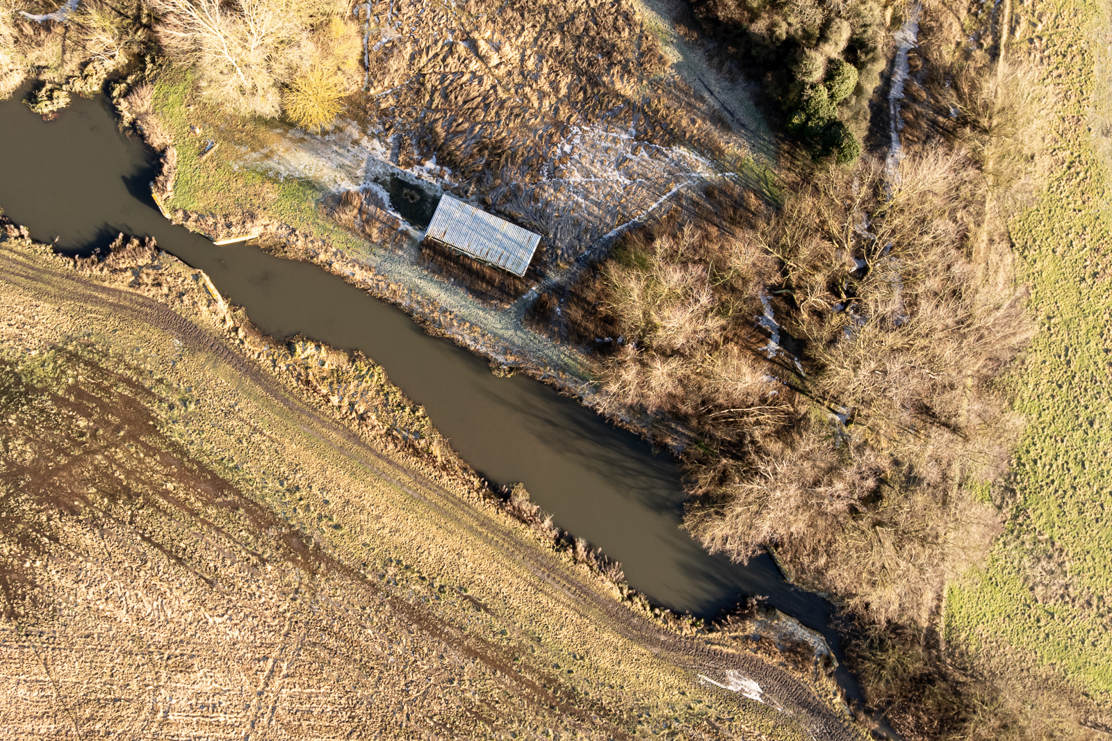
Grid ref. TL 7818 7140, Coordinates N52.3118 E0.6125
Sometime incorrectly referred to as Lackford Double Lock; an official newspaper advert as early as May 1802 by the Navigation company used that name. But although these two staunches were less than 90 metres apart, they were never designed to function as a pound lock.
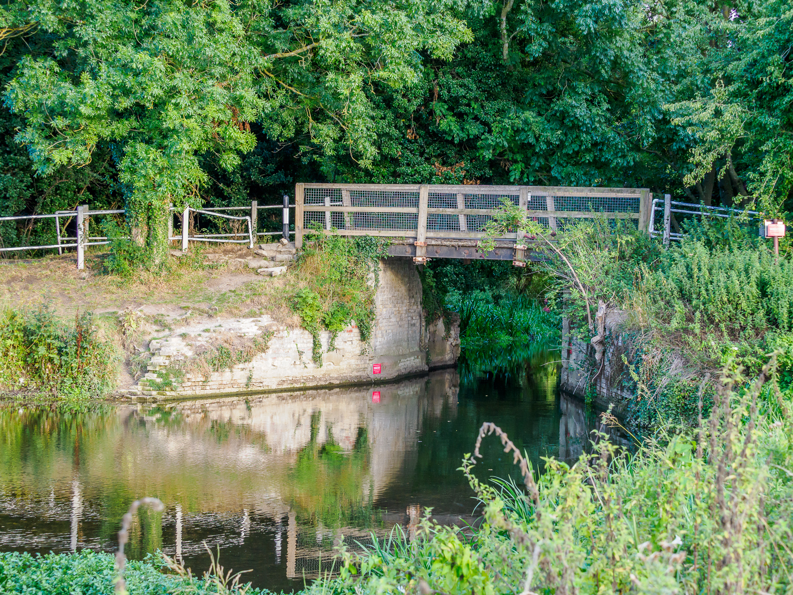
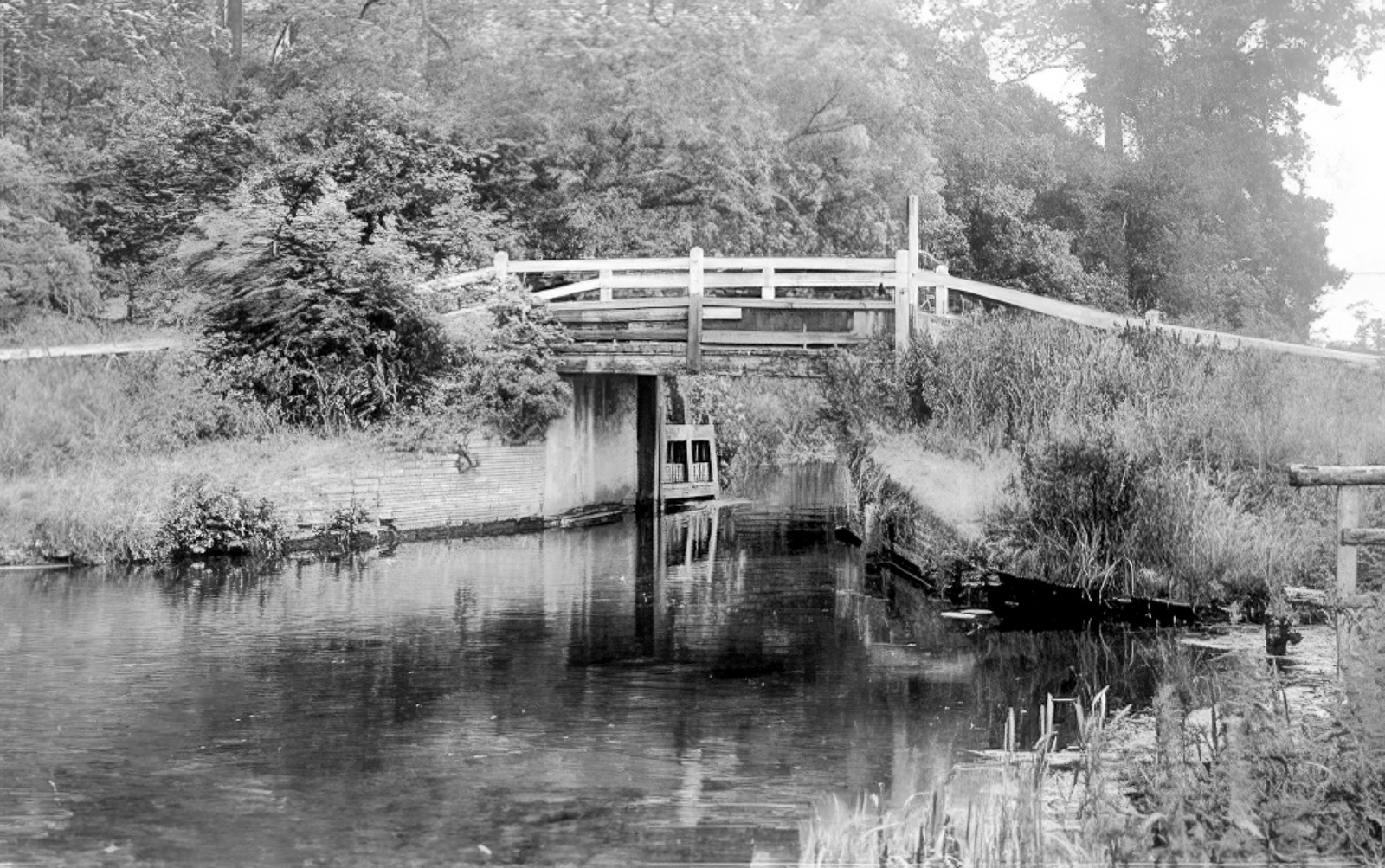
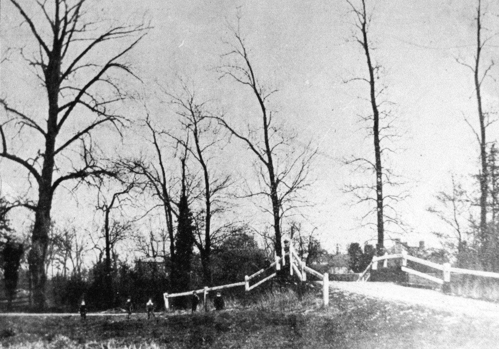
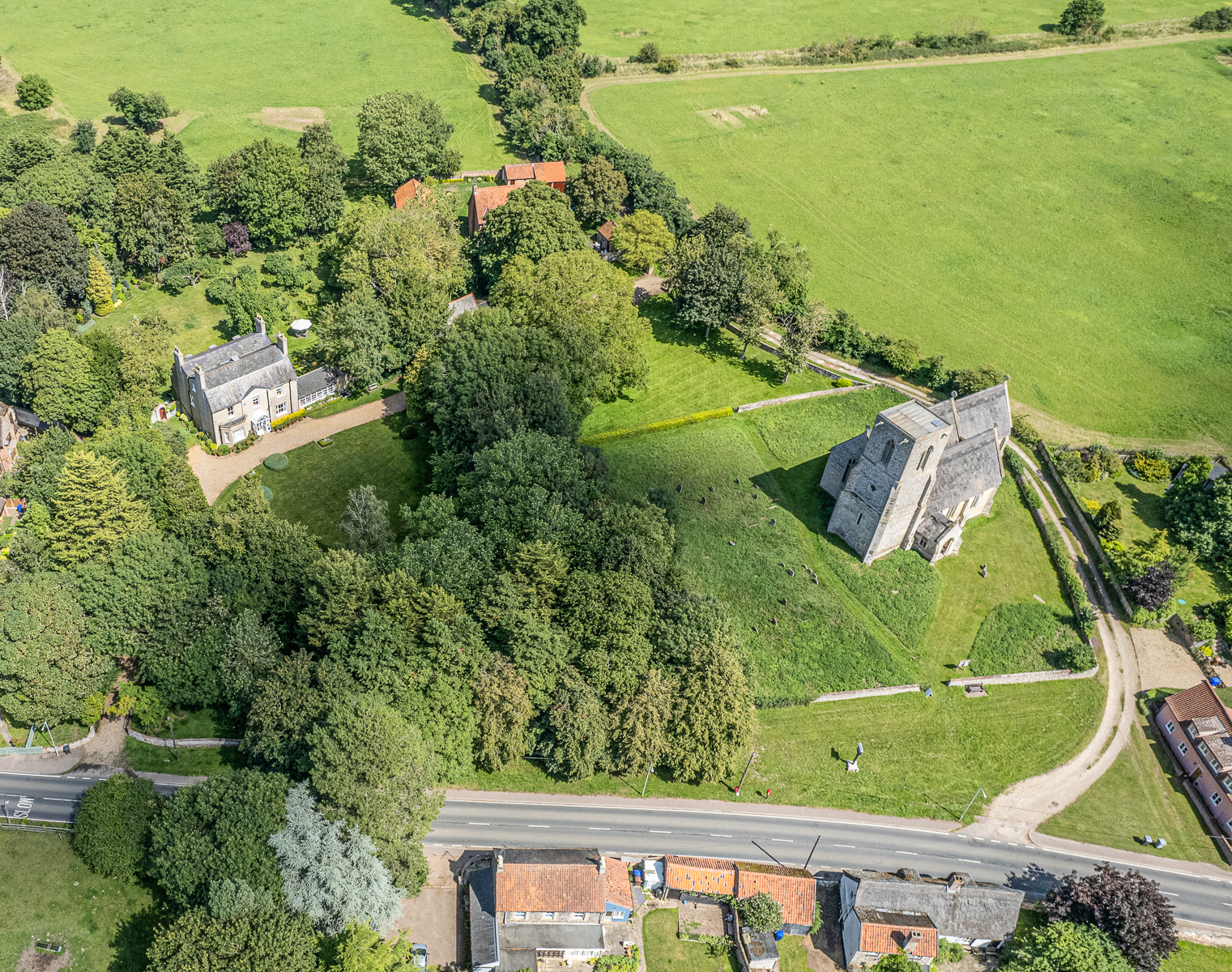
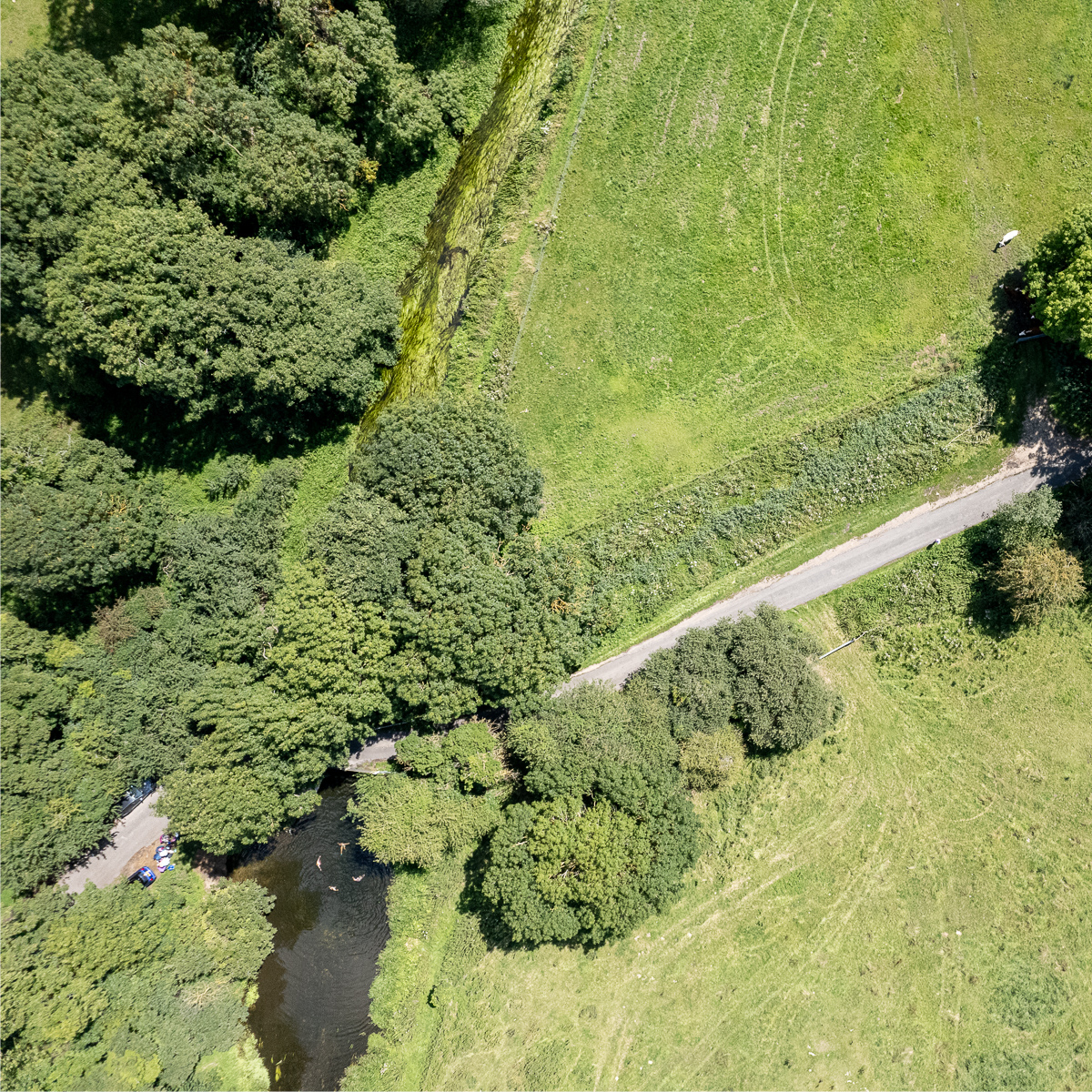
Farthing Bridge & Staunch, Icklingham
Grid Ref. TL 7732 7258, Coordinates N 52.3226 E0.6005
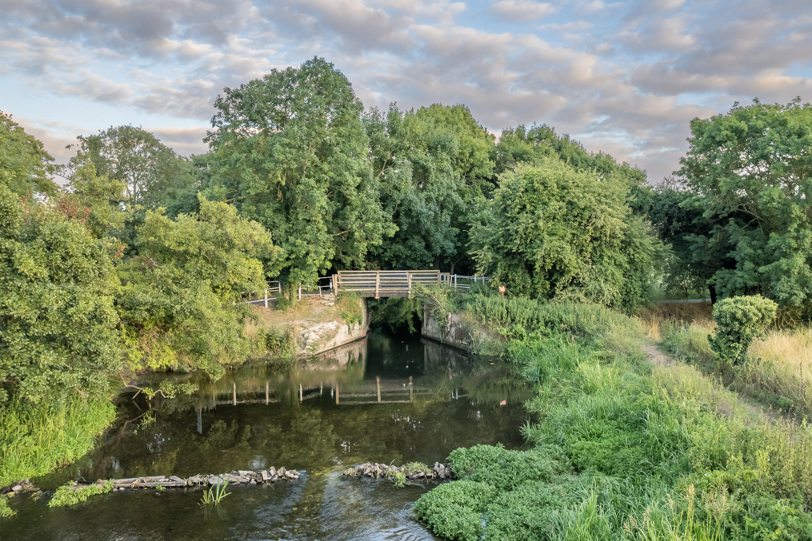

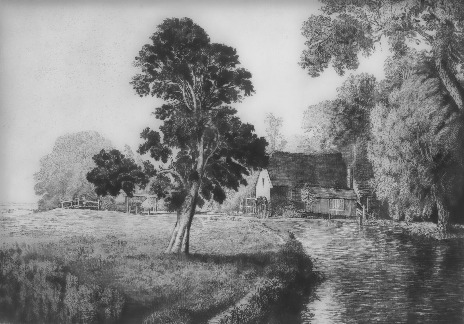
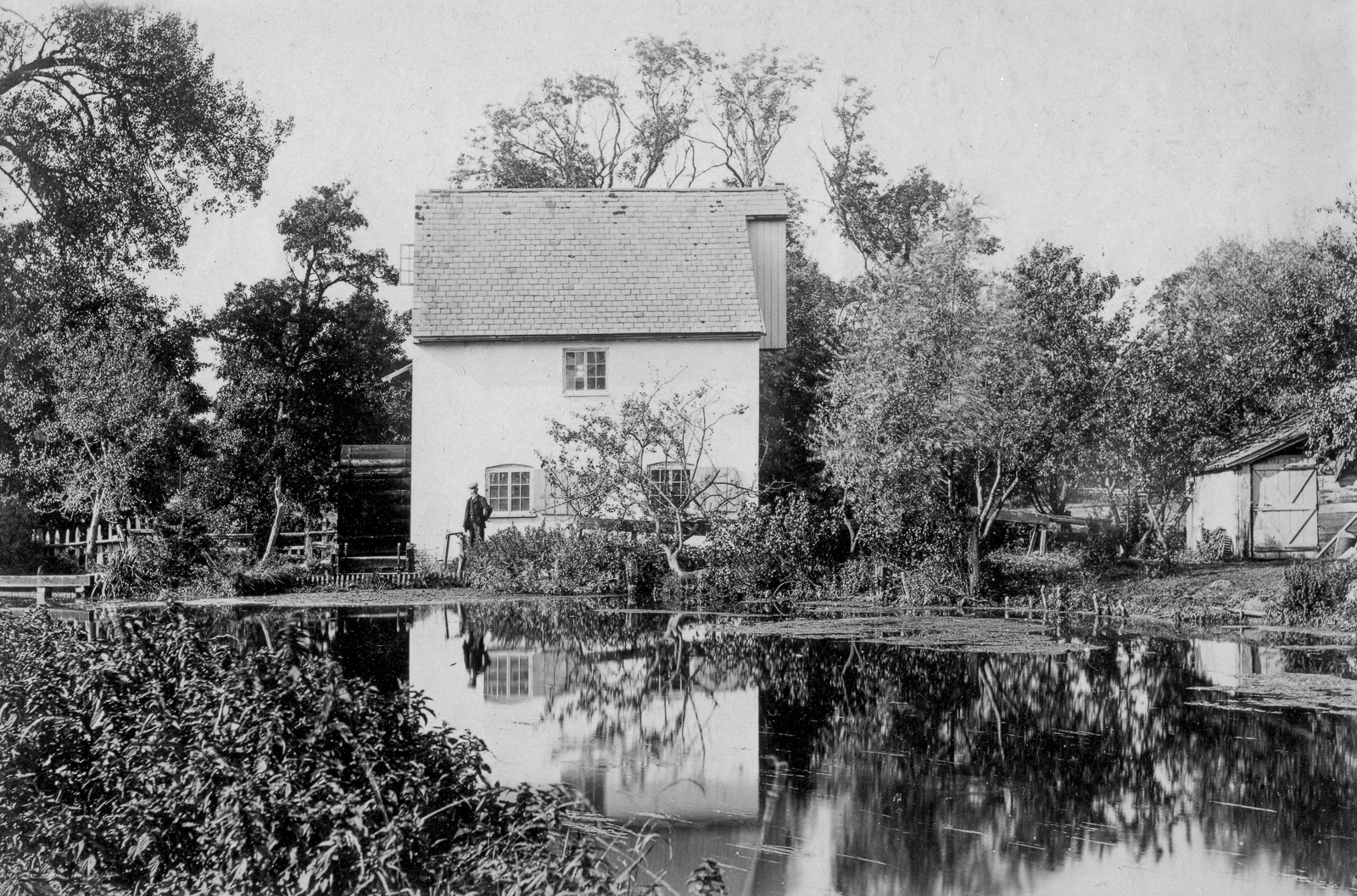
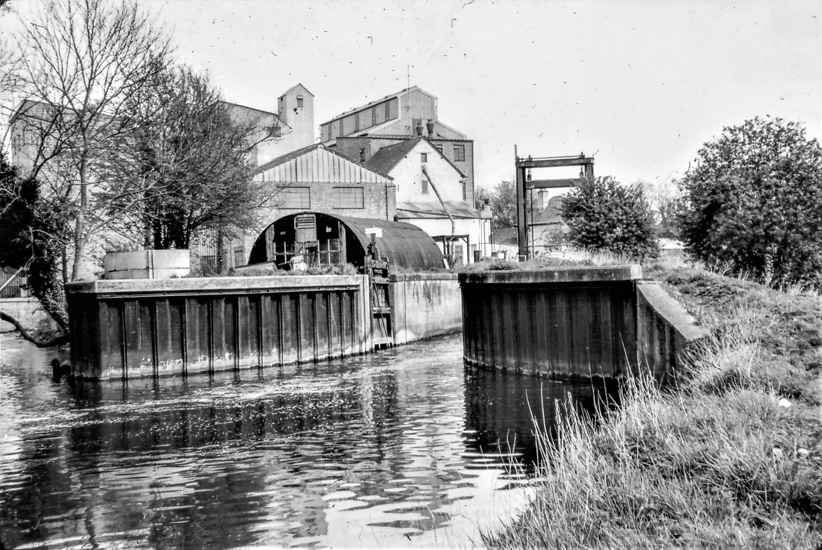
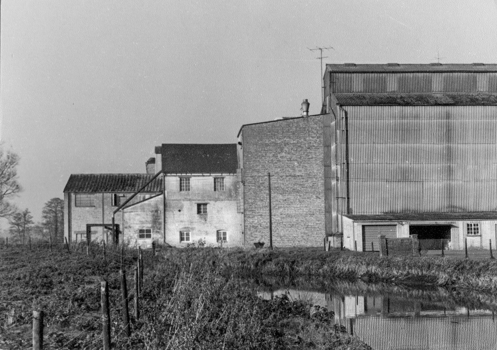
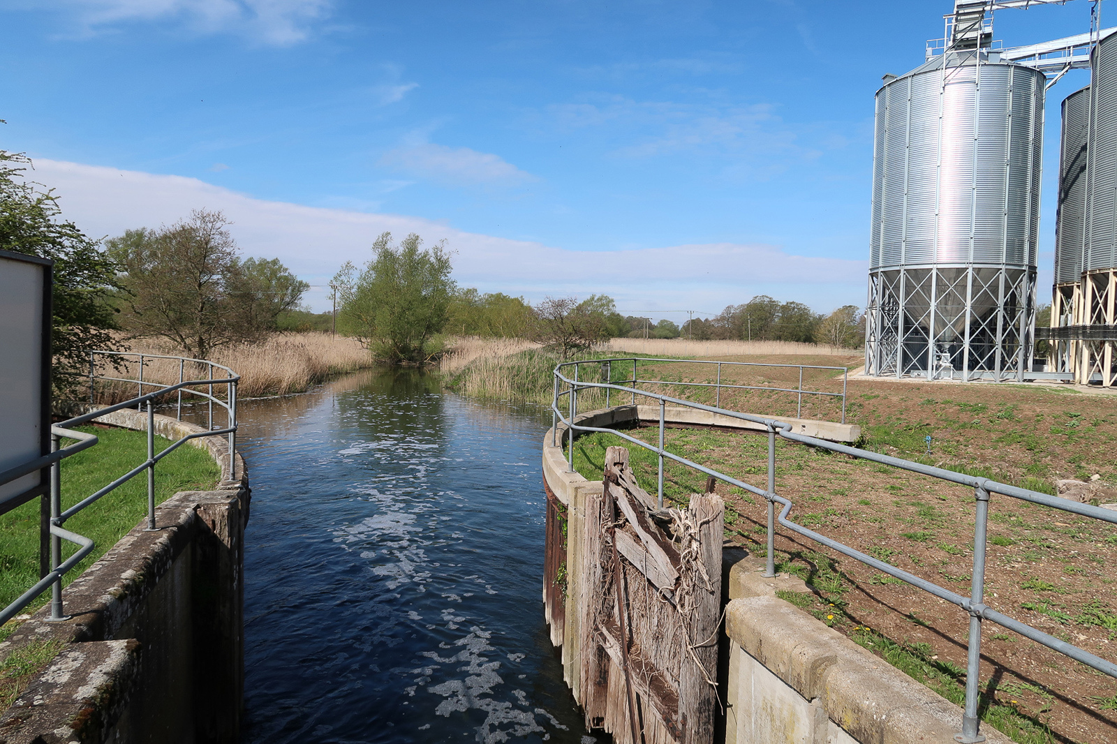
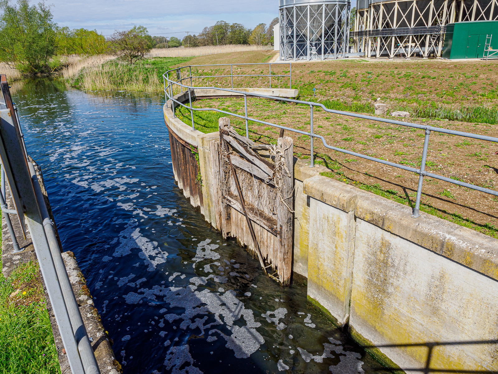
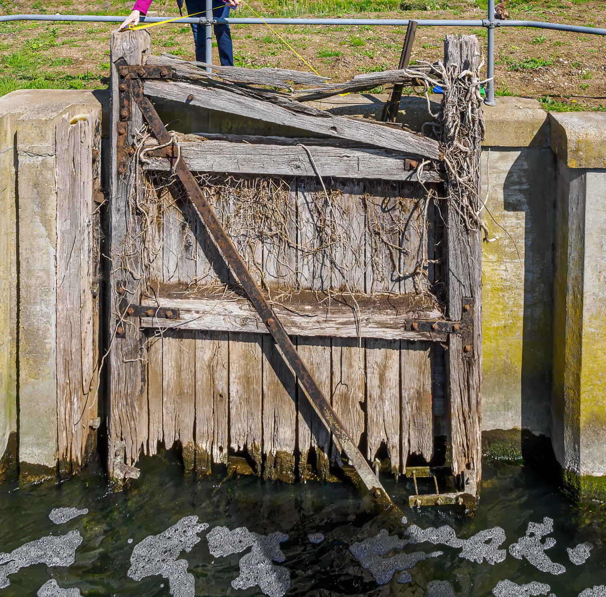
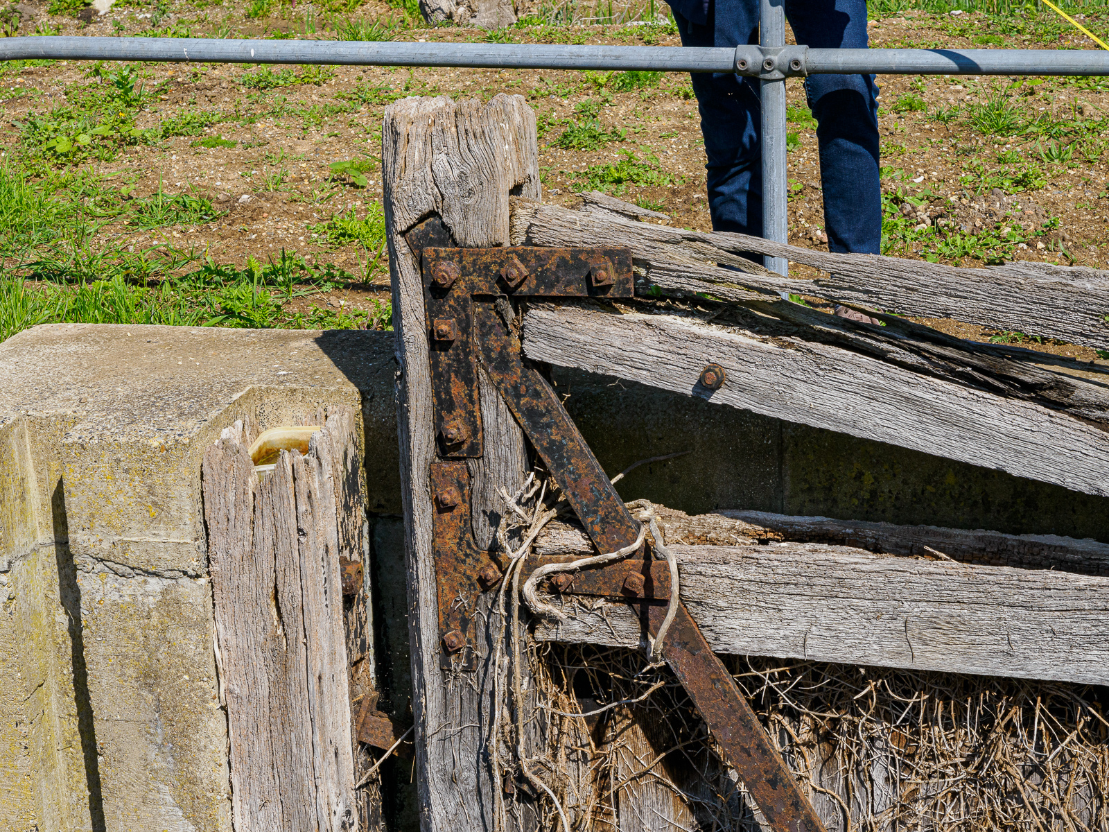
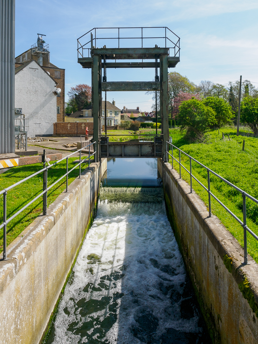
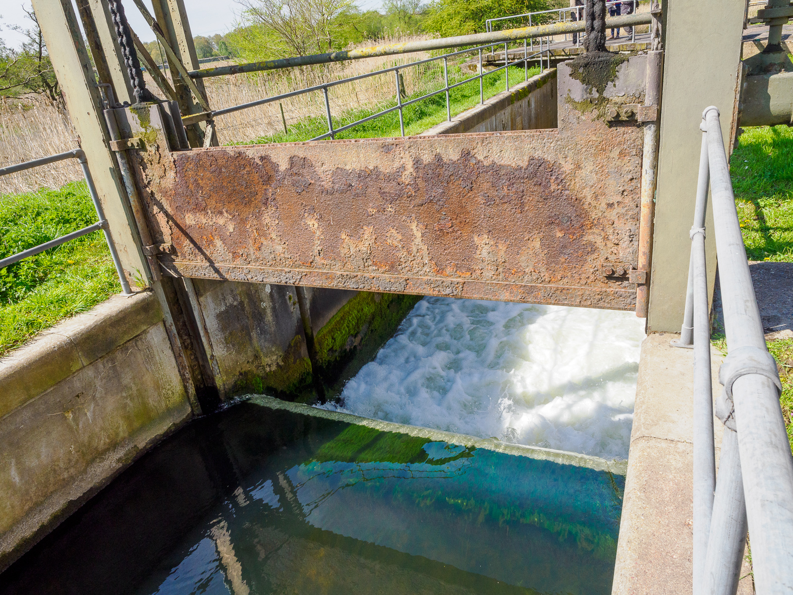
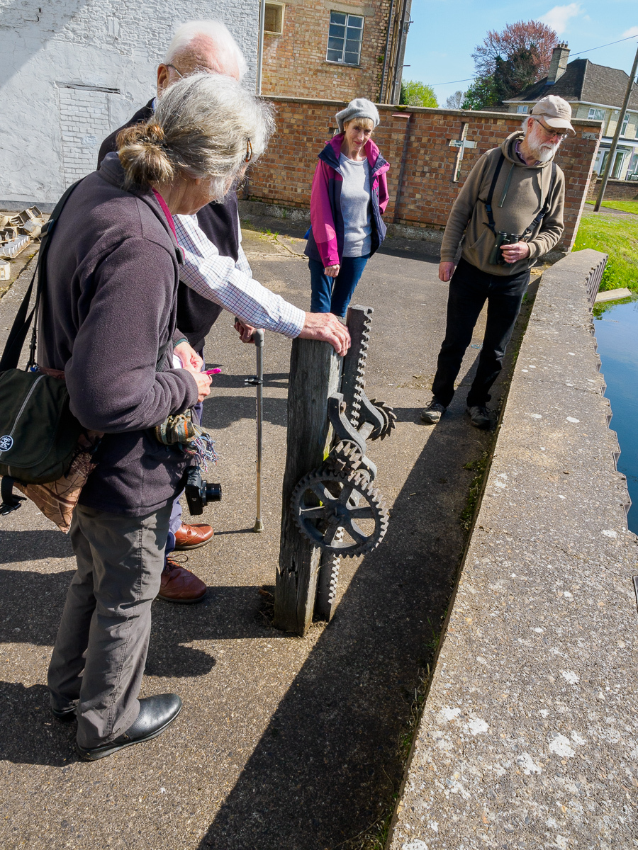
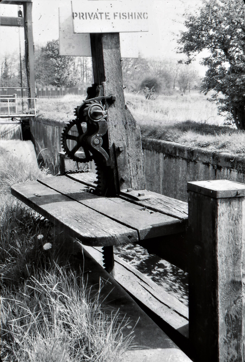
Heygate’s (Marston’s) Mill & Icklingham Lock (15)
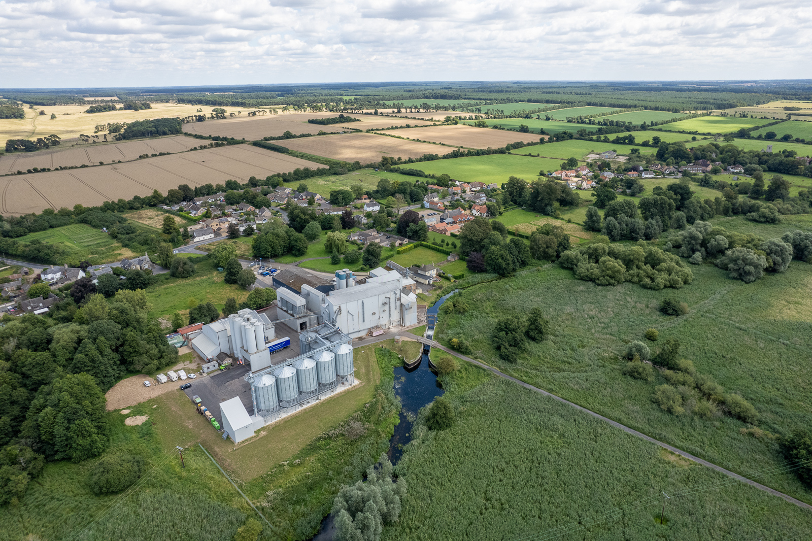
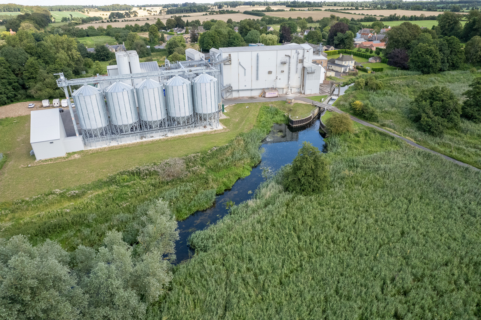
Grid Ref. TL 7693 7288, Coordinates N 52.3255 E0.5949
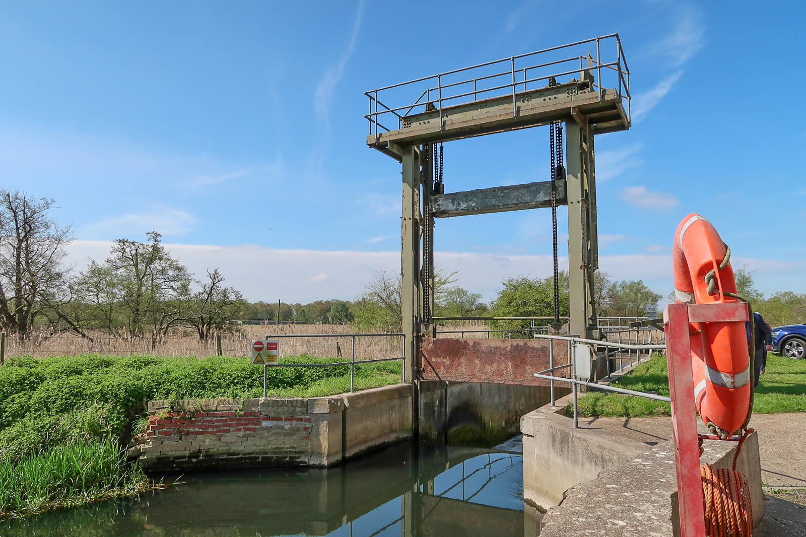
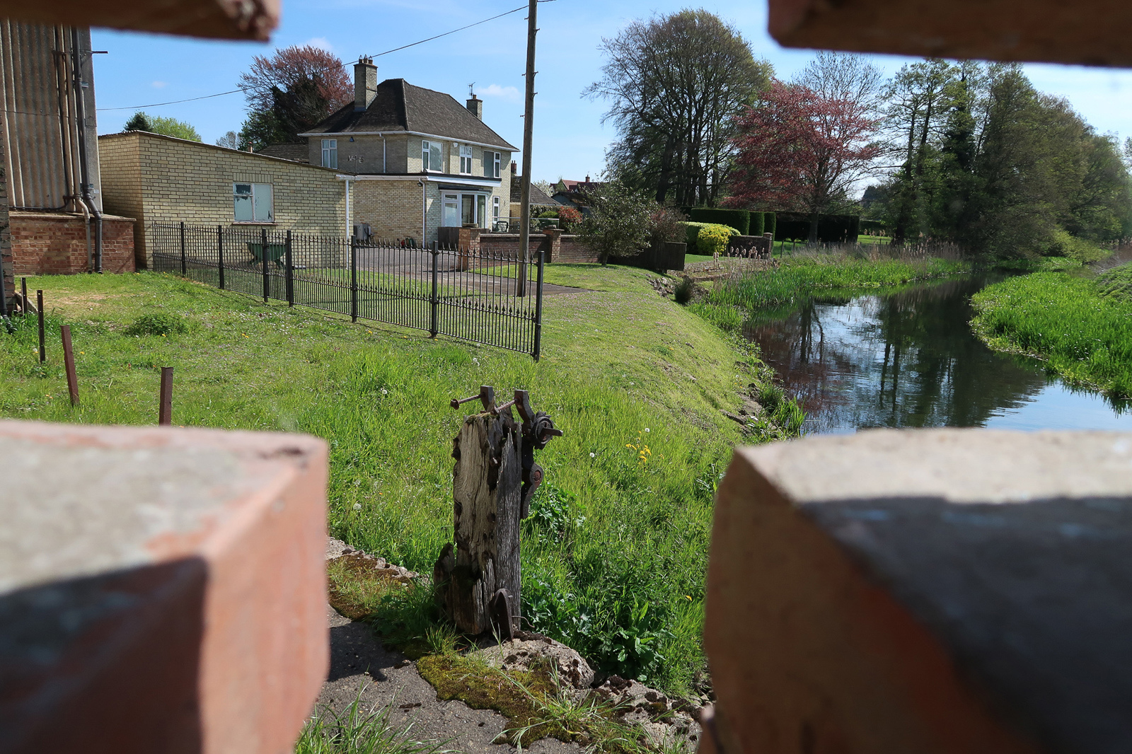
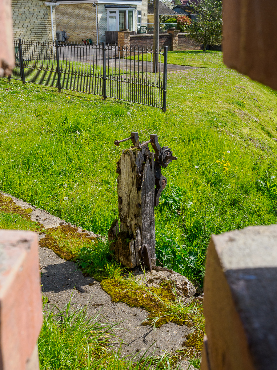
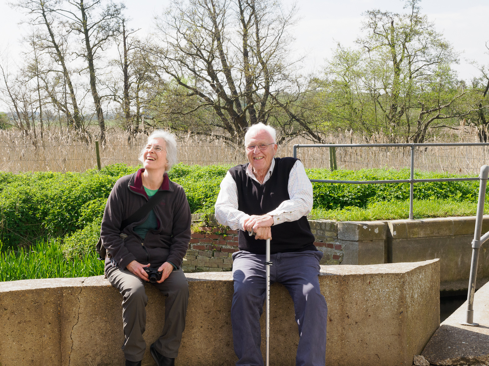
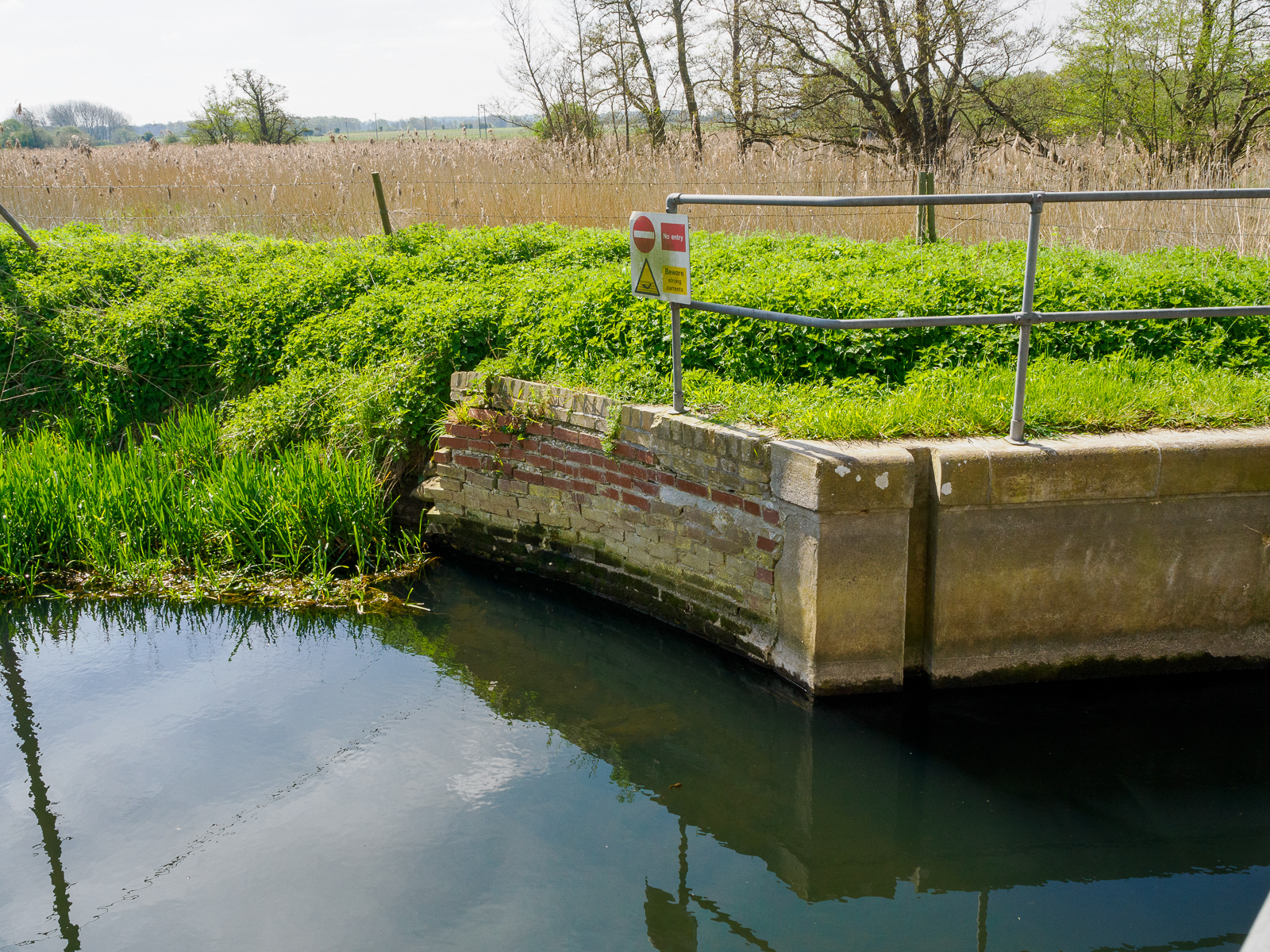
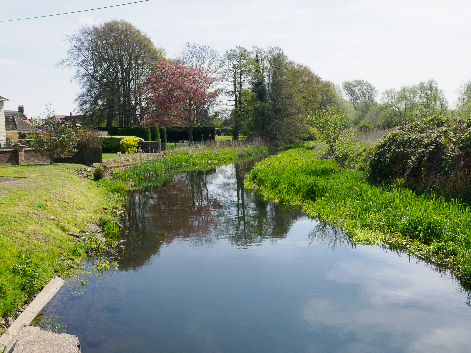
A former staunch, later converted to a pound lock. Now home to by far the largest remaining mill on the Lark. The once very modest mill was sold to the Marston family by Parker Brothers of Mildenhall in the early 1900s. Under their ownership, it was hugely expanded in the following century. It is now owned by Heygates of Northampton, another family firm.
Temple Bridge (16)
Grid ref. TL 7580 7294, Coordinates N52.3264 E0.5789
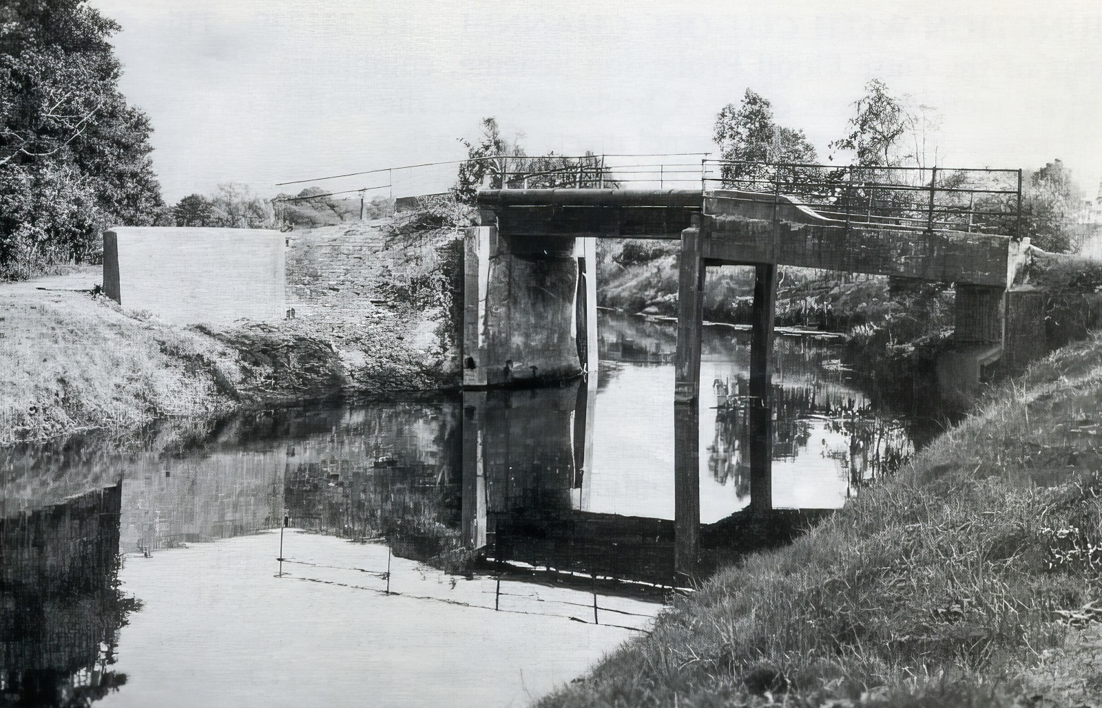
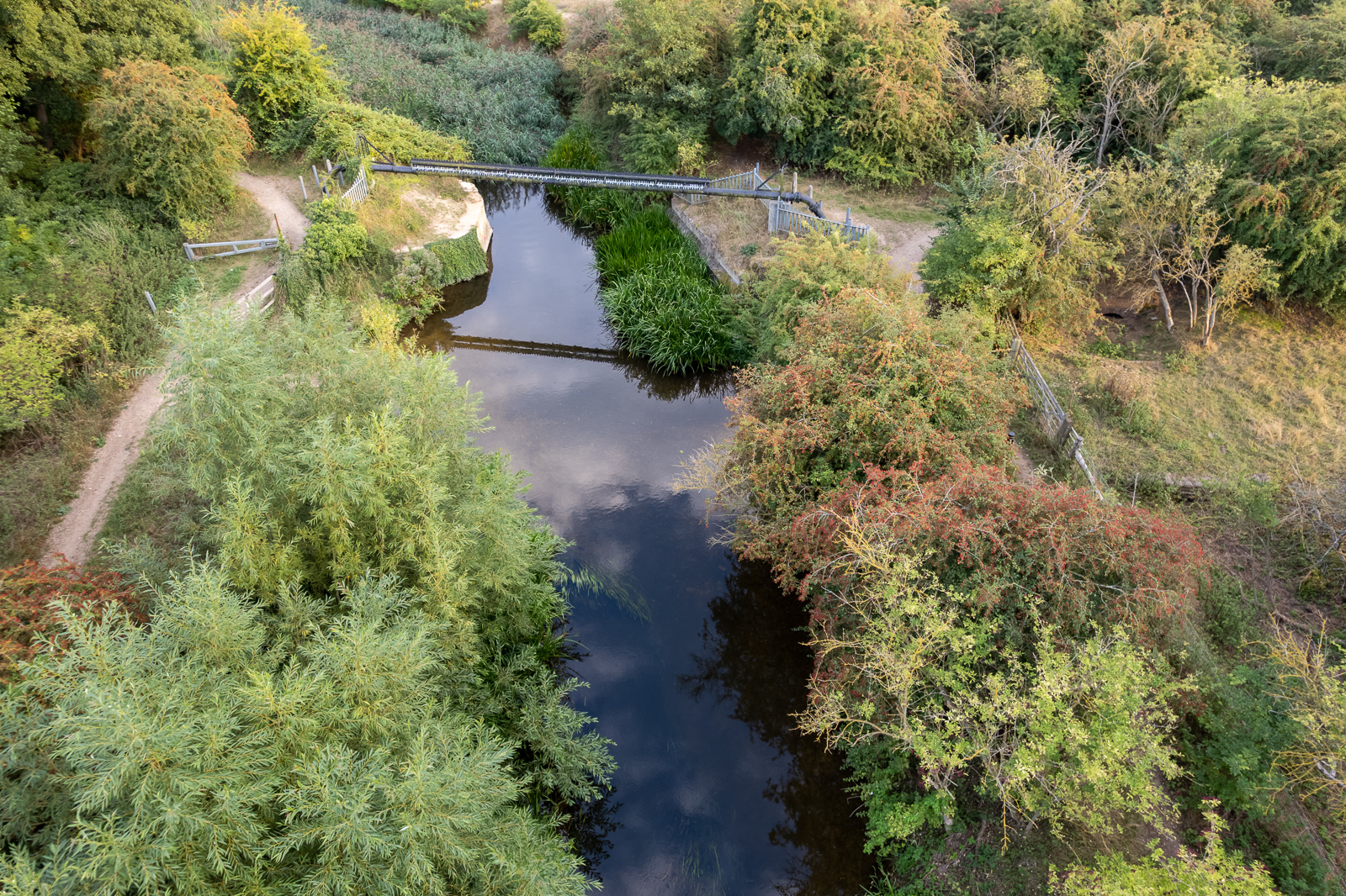
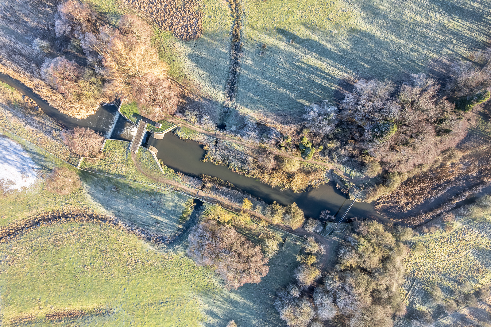
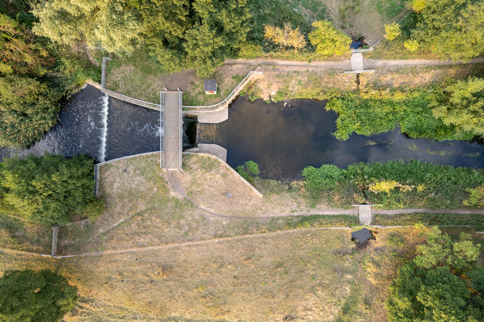
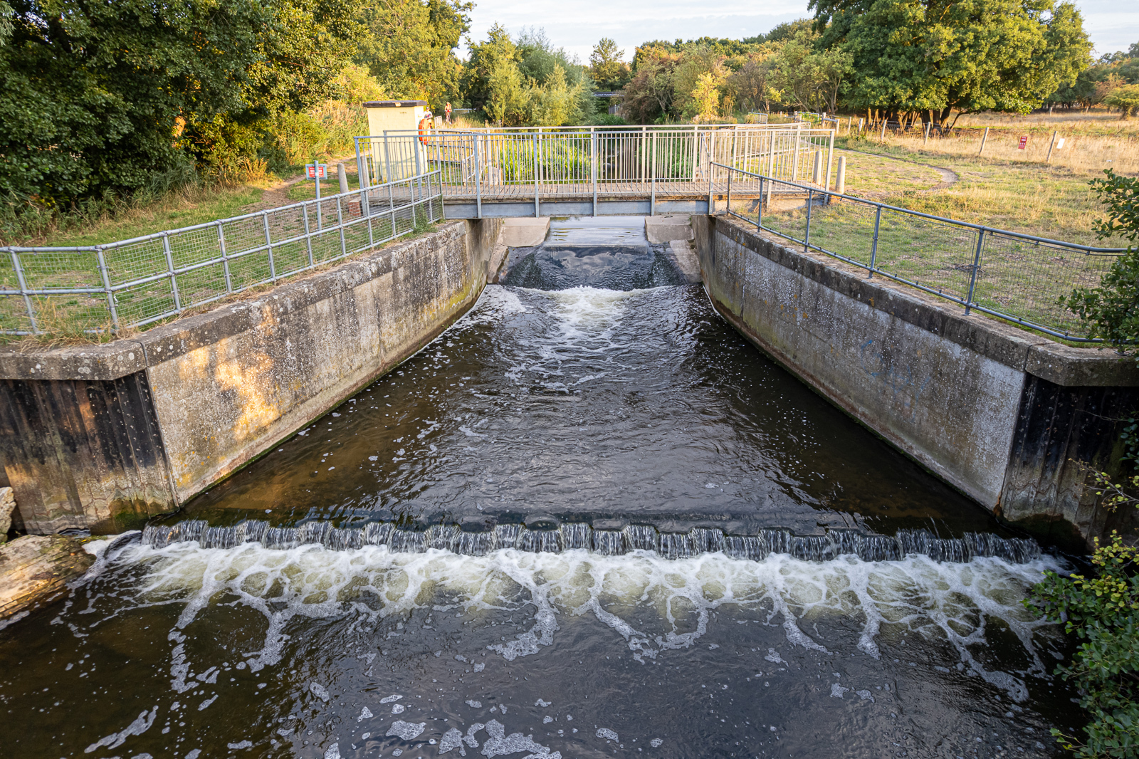
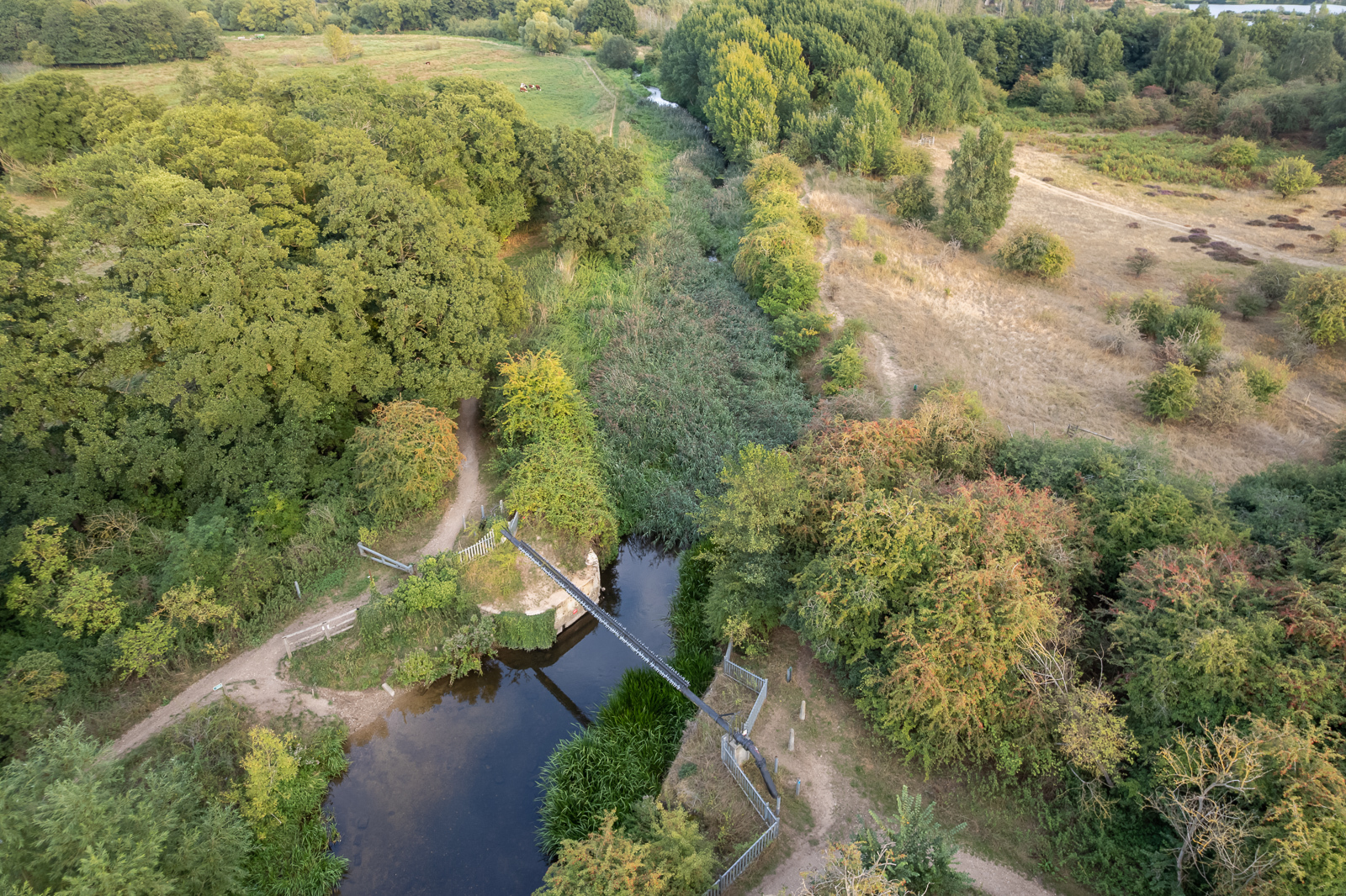
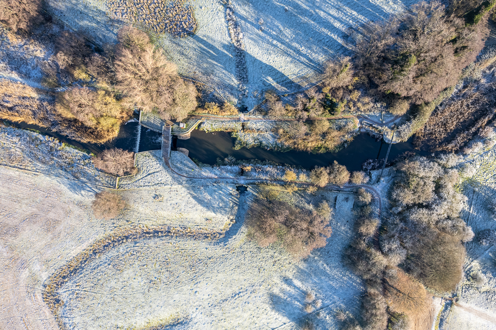
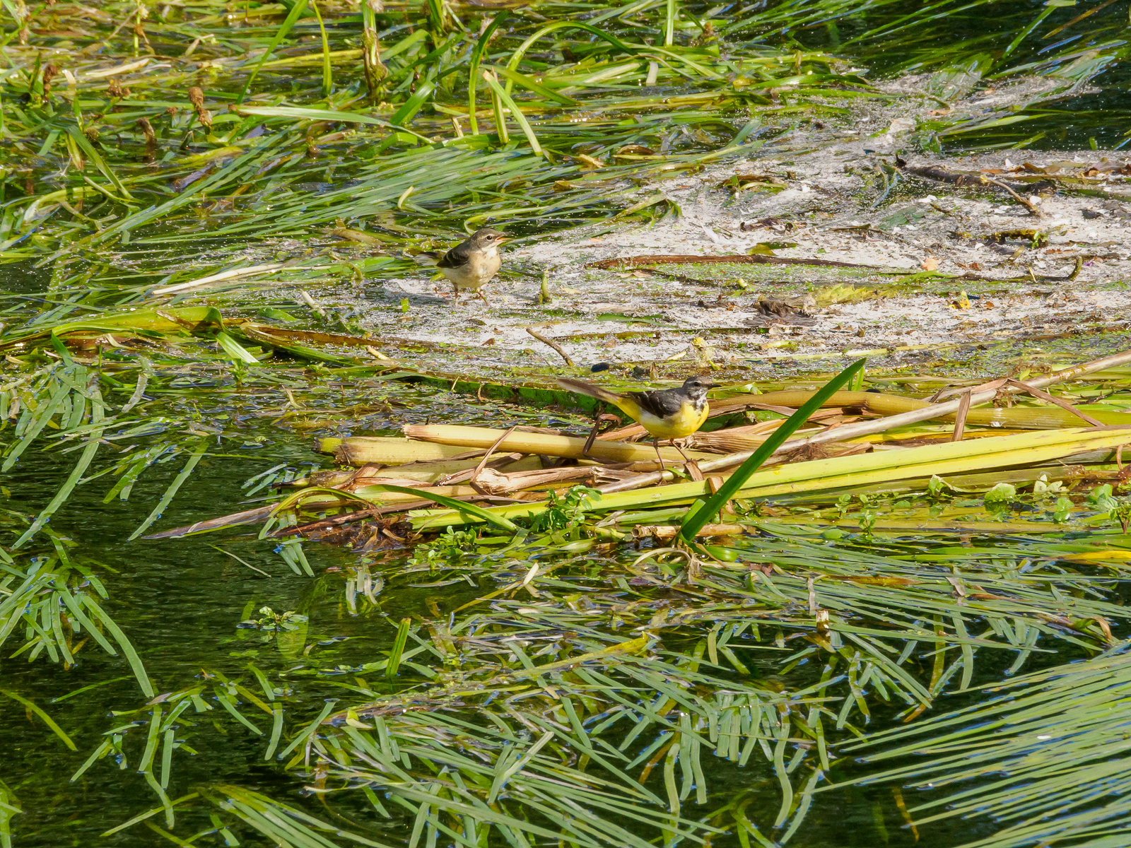
The last Temple Bridge was a rather ugly concrete structure built in 1912. Almost a century later it developed a serious crack, and was demolished in 2007, severing the direct link between the villages of Tuddenham and Icklingham. Only the abutments remain. The former staunch, about 70 metres downstream, was converted to a weir.
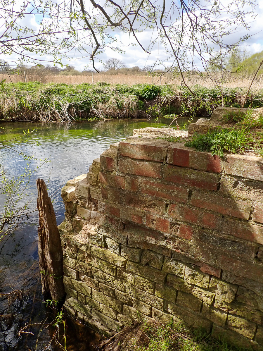
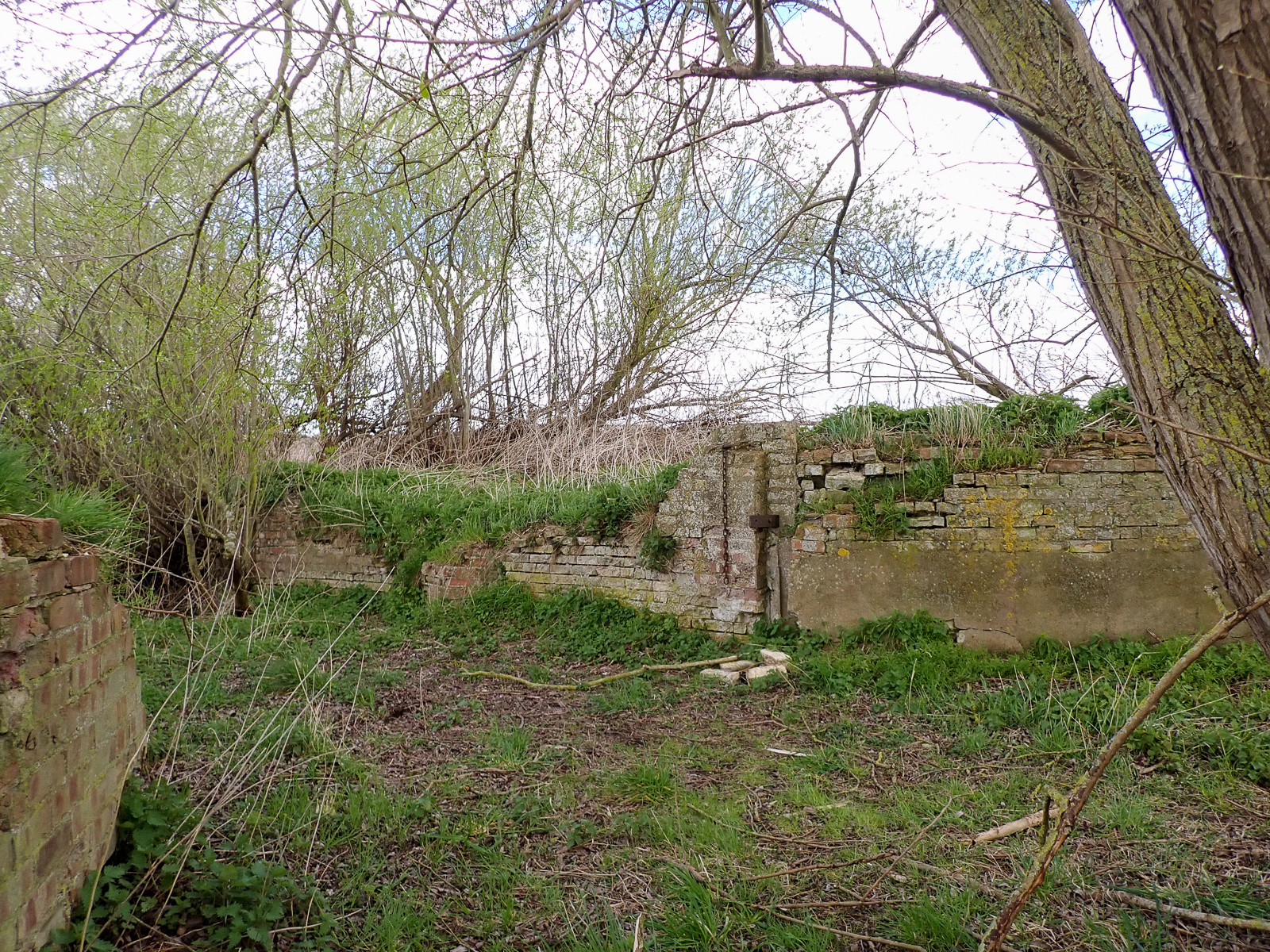
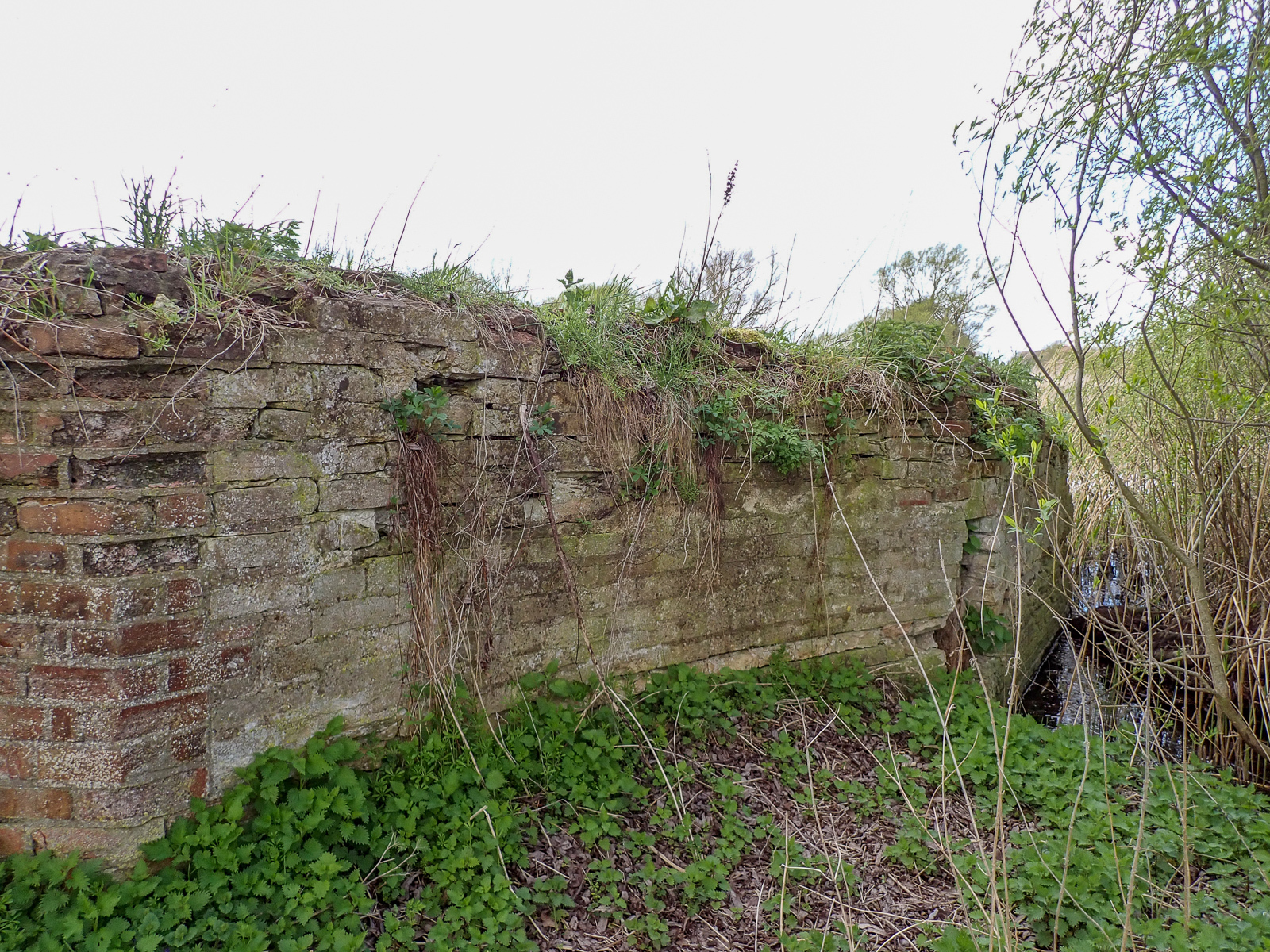
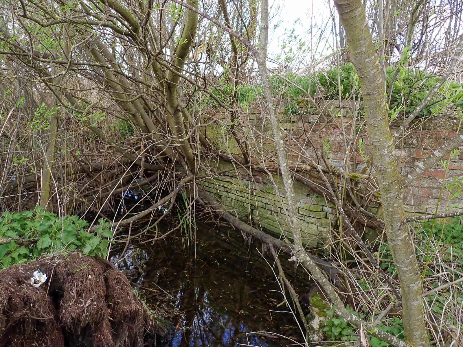
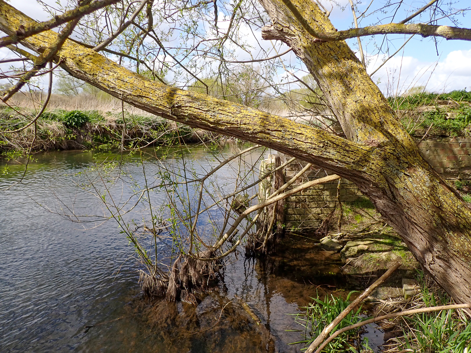
Jack Tree Staunch (17)
Grid ref. TL 7535 7330, Coordinates N52.3298 E0.5719
Suffolk Heritage Explorer
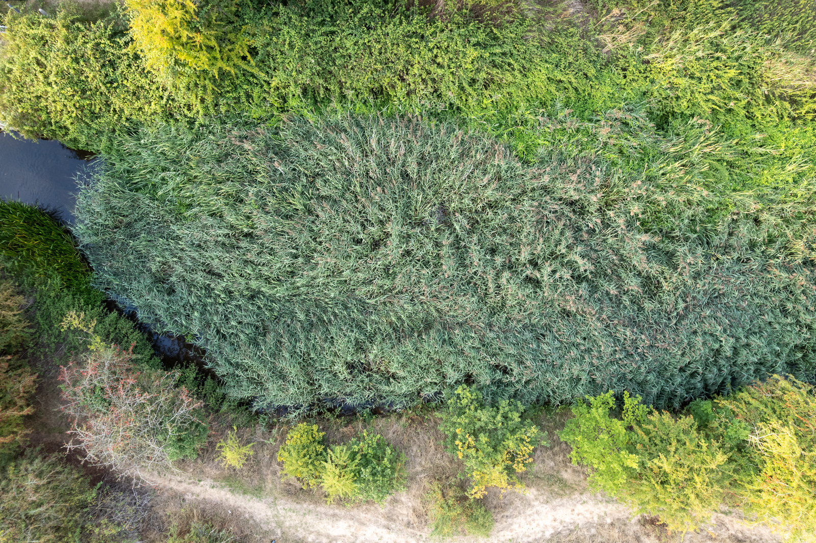
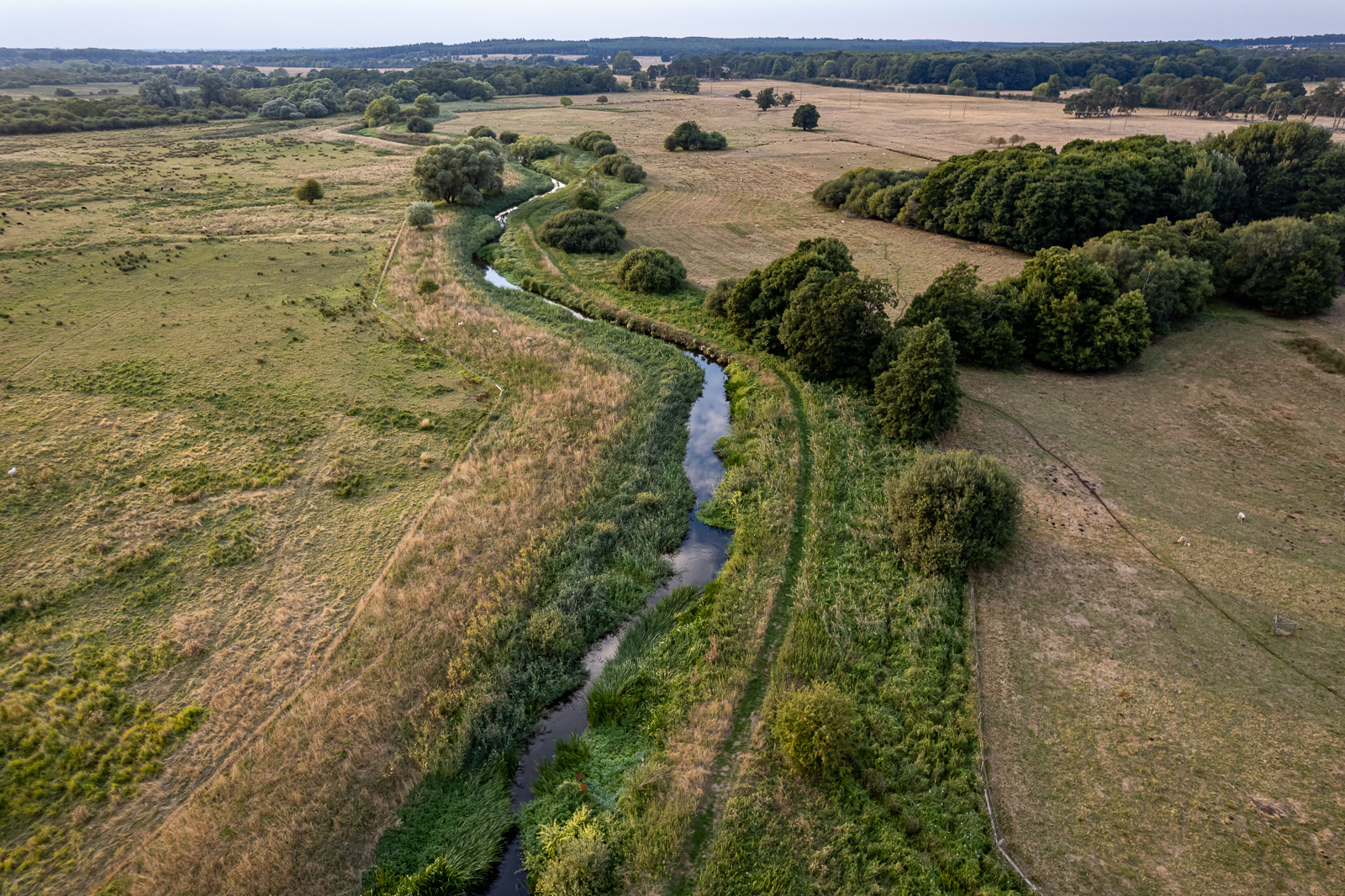
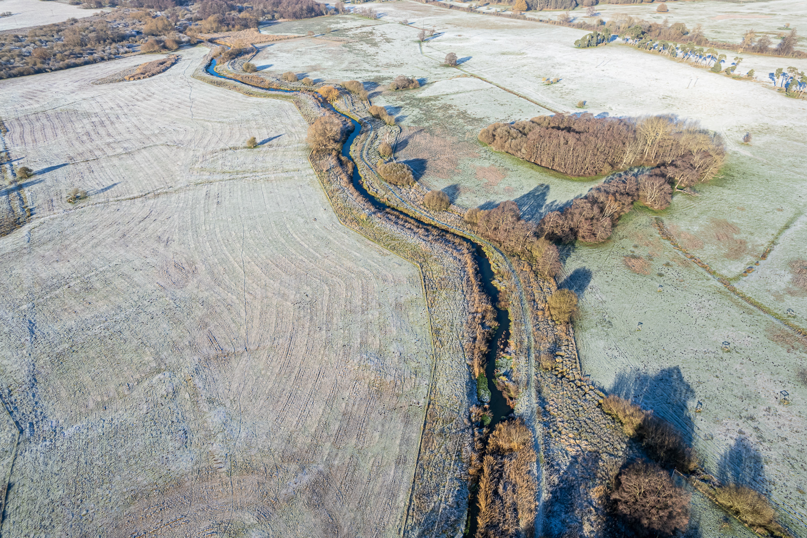
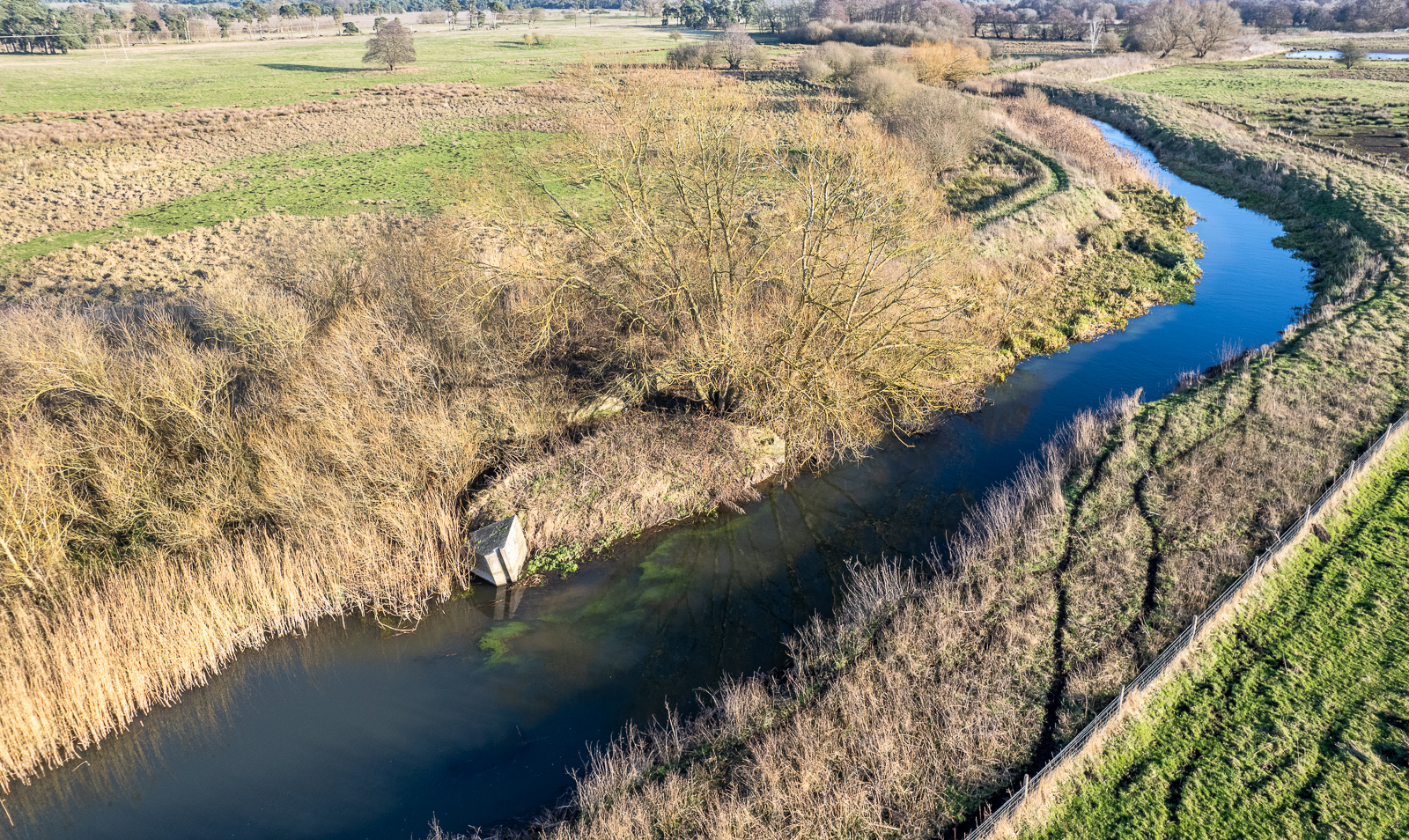
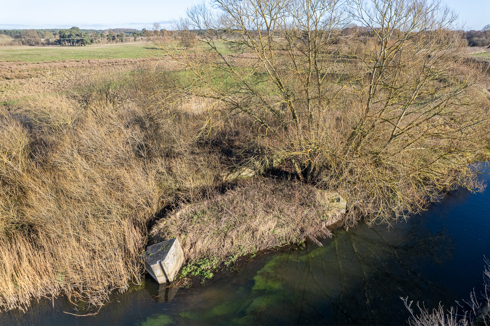
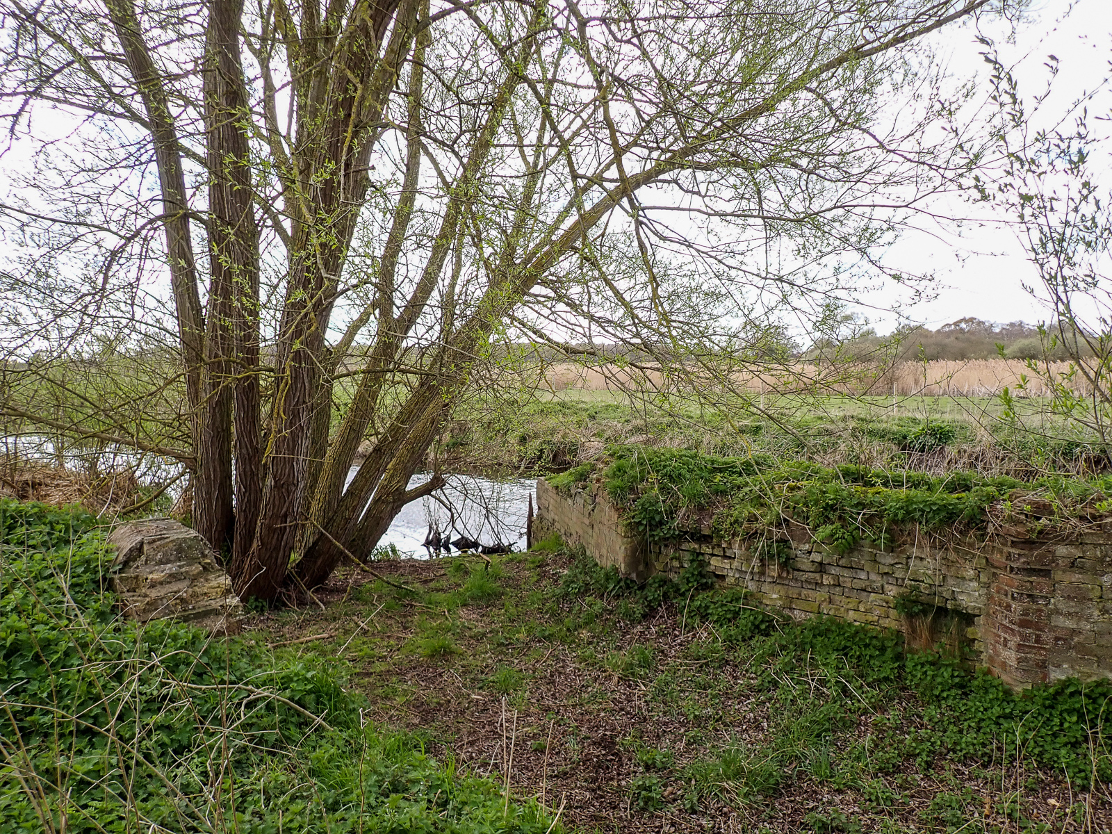
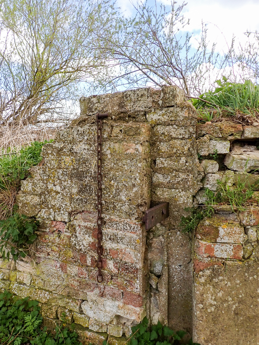
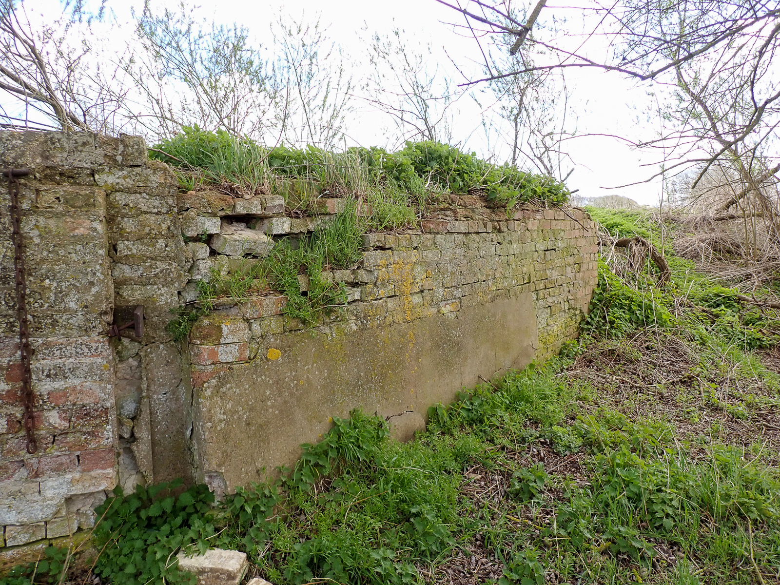
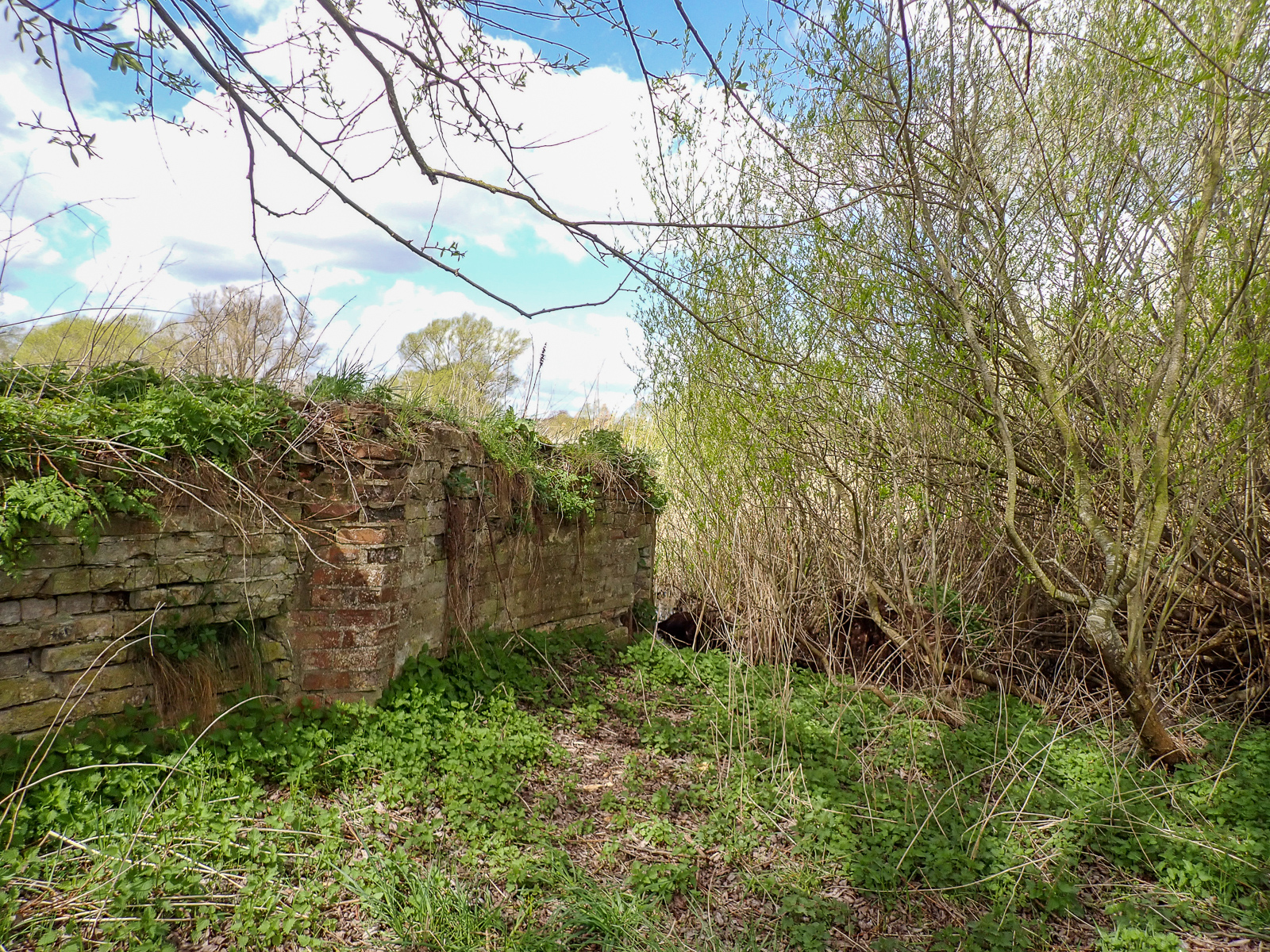
Less than half a mile downstream from Temple Bridge, Jack Tree Staunch is now completely silted up and bypassed by the river. This is not surprising, as rather than being built in the body of the river, it was built in a curve excavated into the north bank. Notices published by Navigation Company in the 1820s (which refer to it being rebuilt) call it “Jack’s-tree Staunch”.
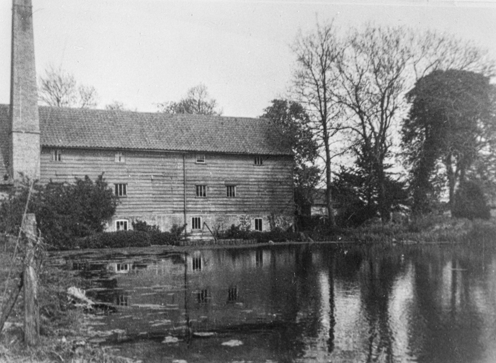
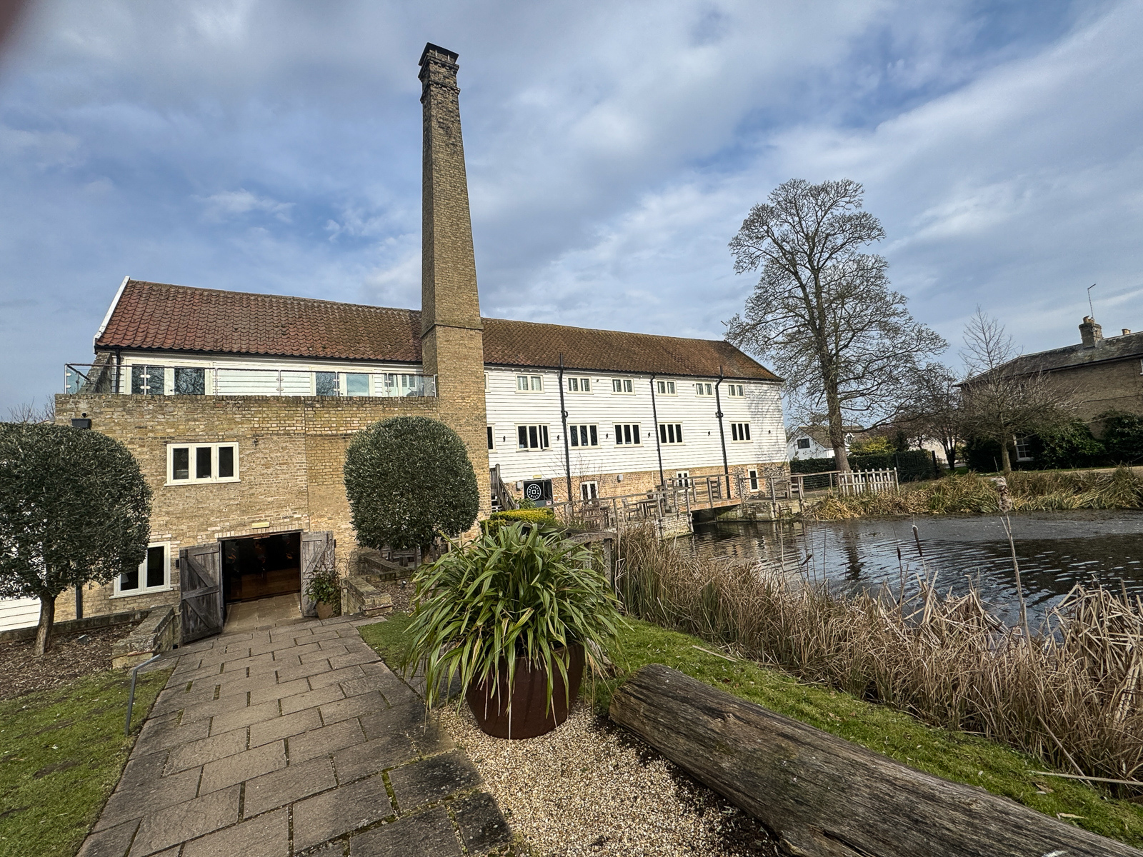
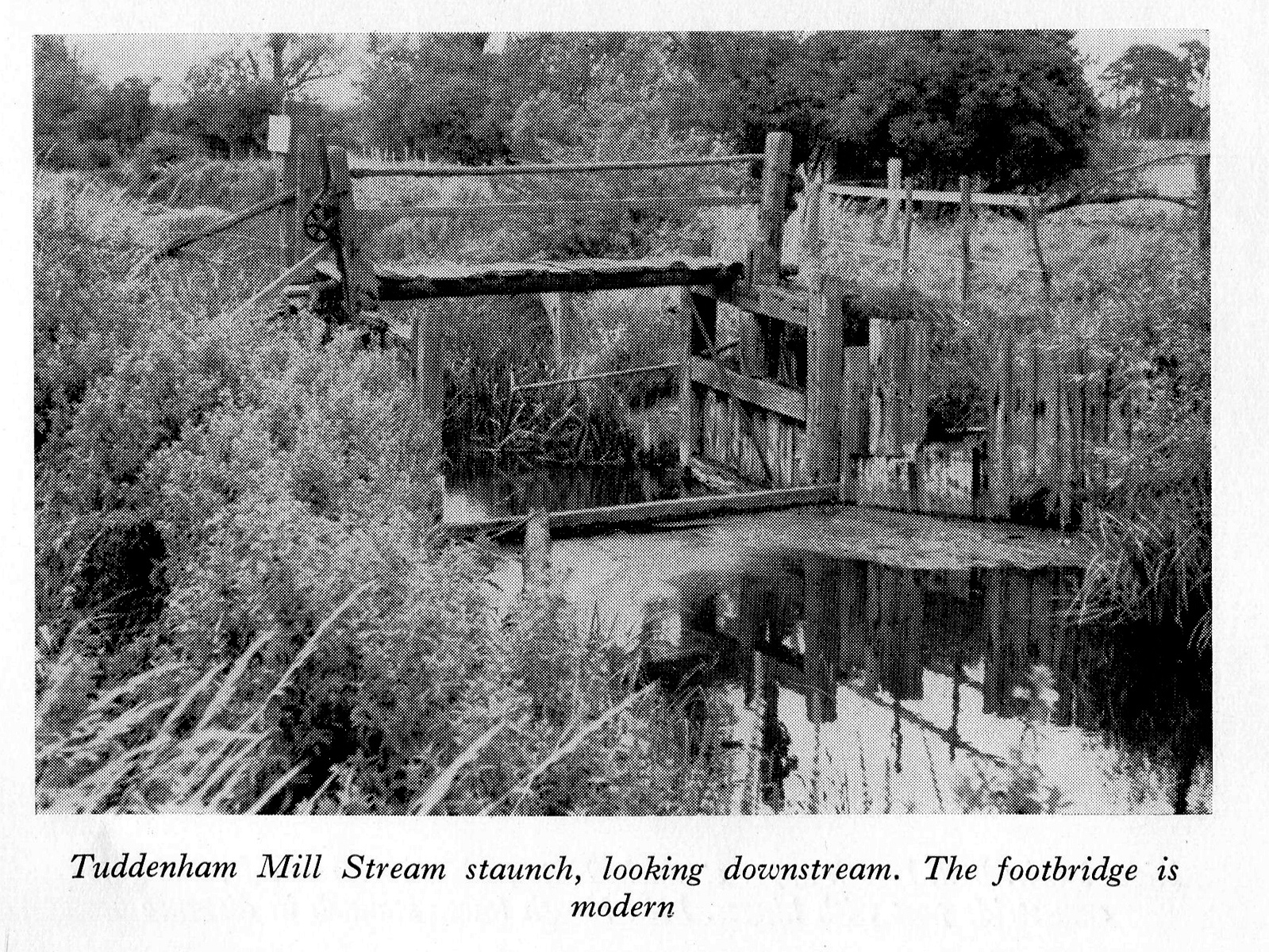
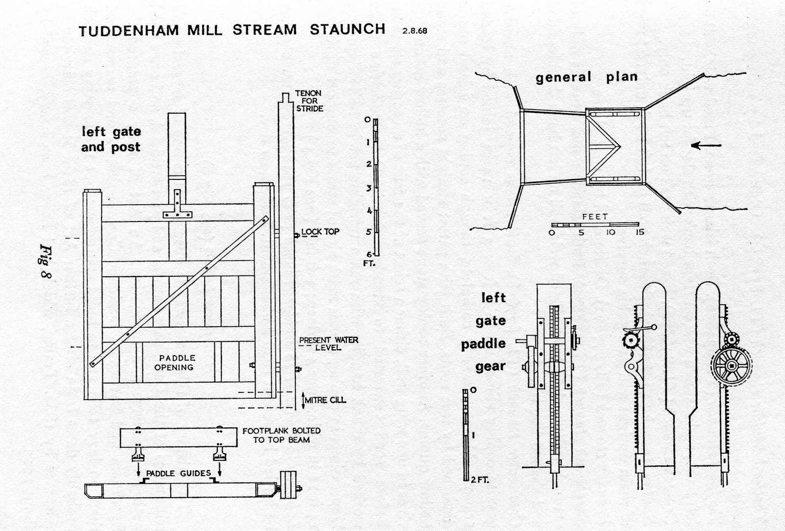
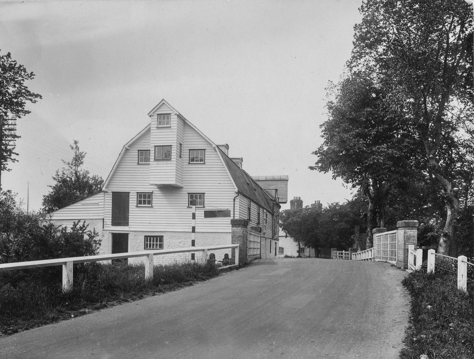
Tuddenham Mill
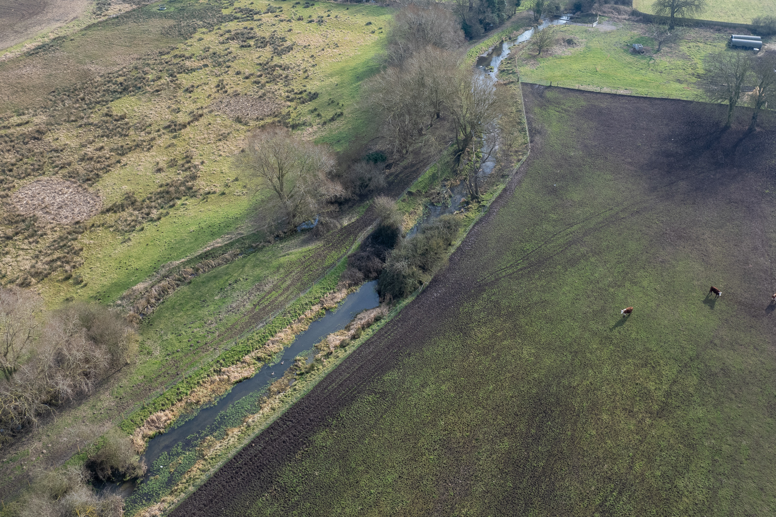
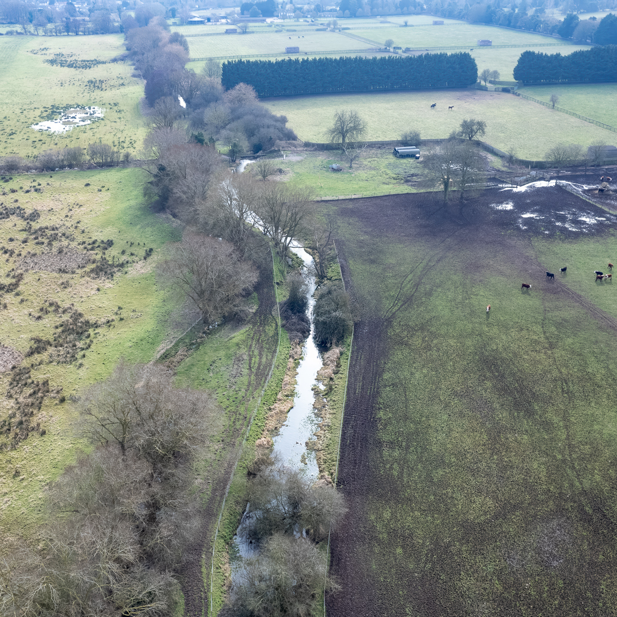
Tuddenham Mill sits on a small tributary of the Lark (Tuddenham Mill stream) which enters the main river between Jack Tree Staunch and Barton Mills.
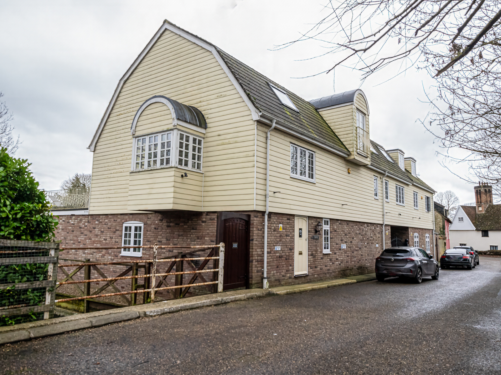
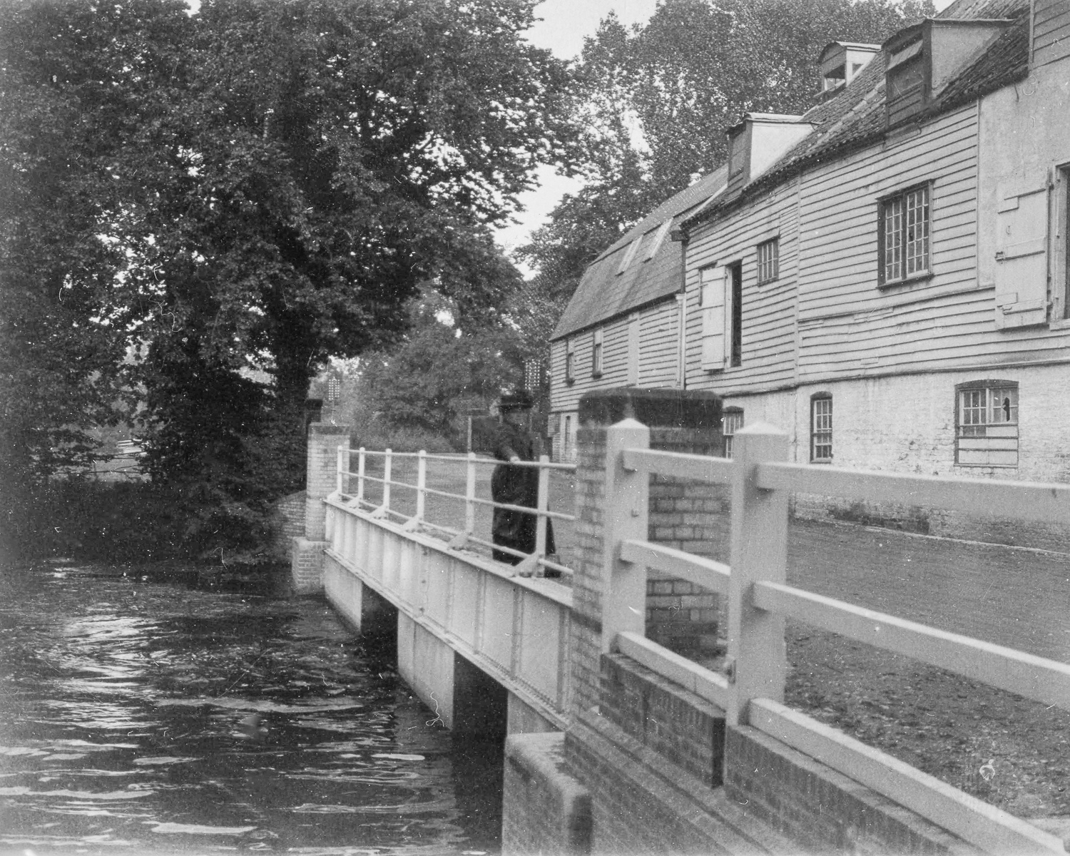
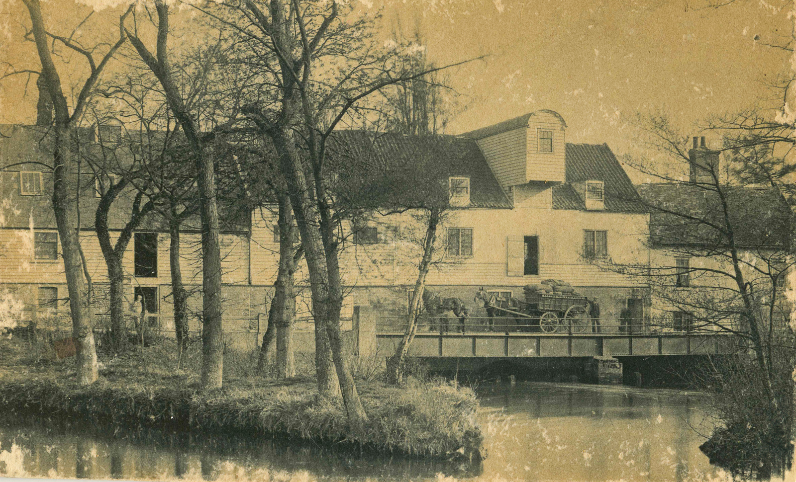
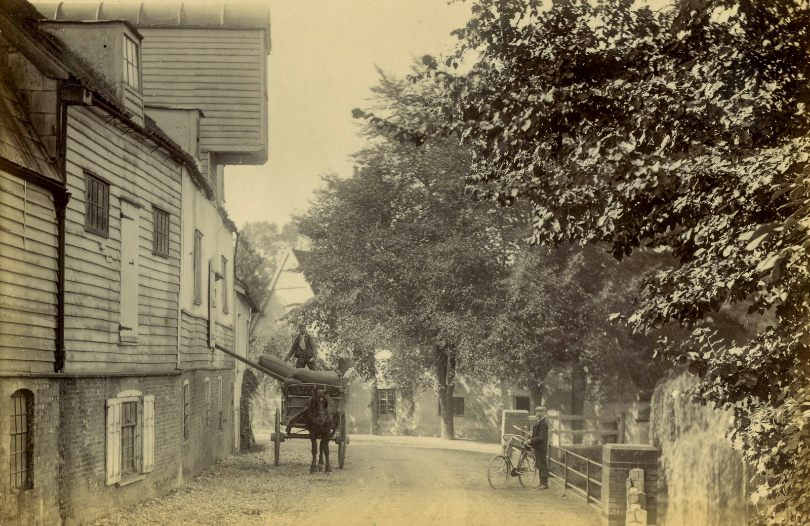
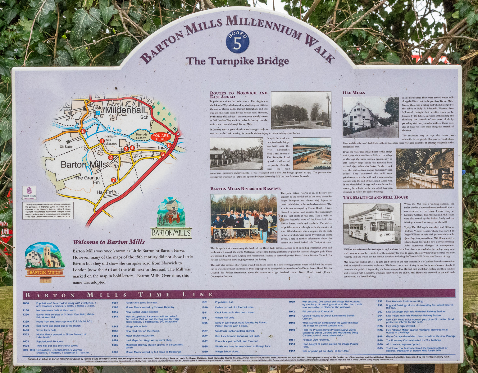
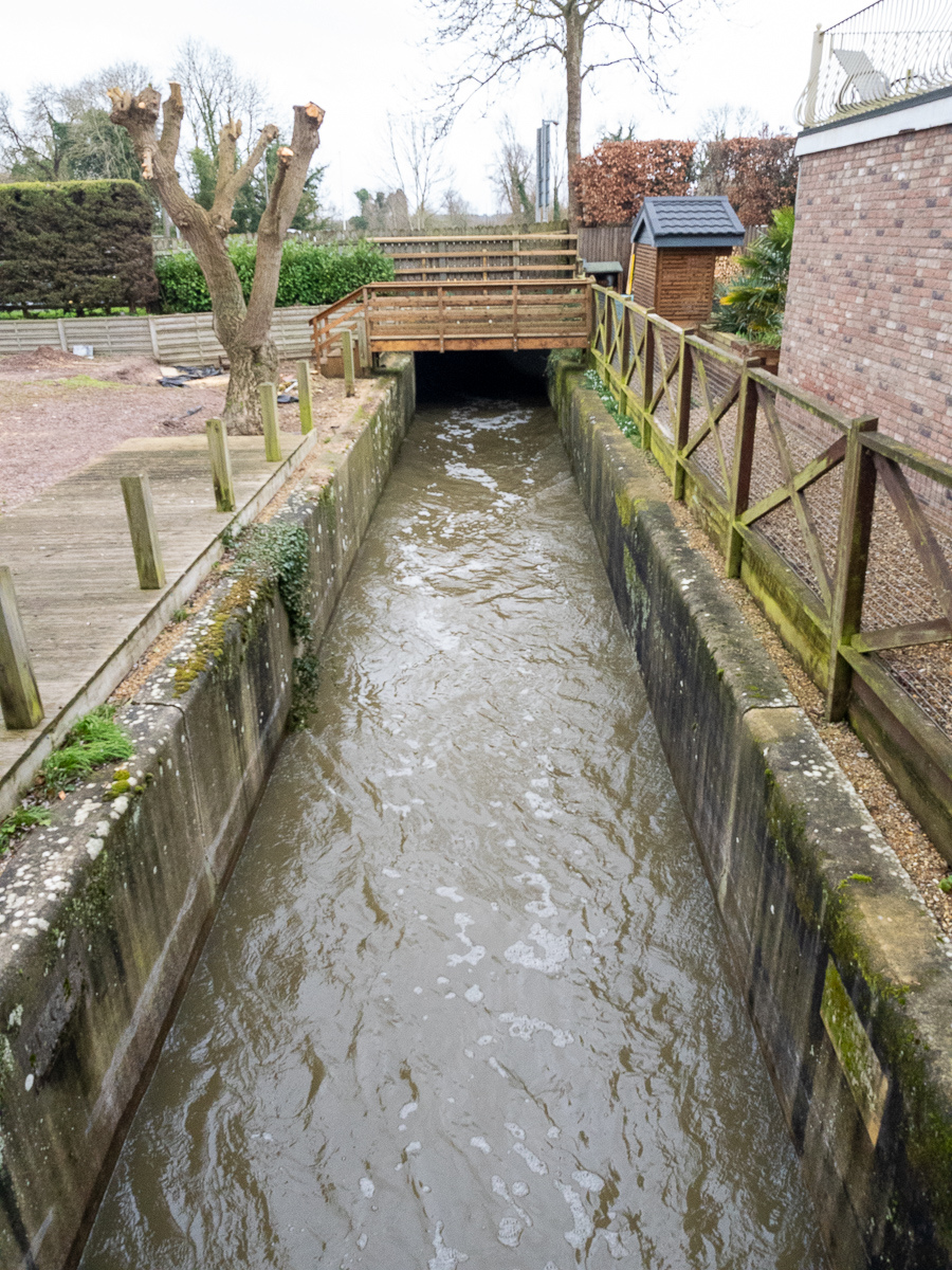
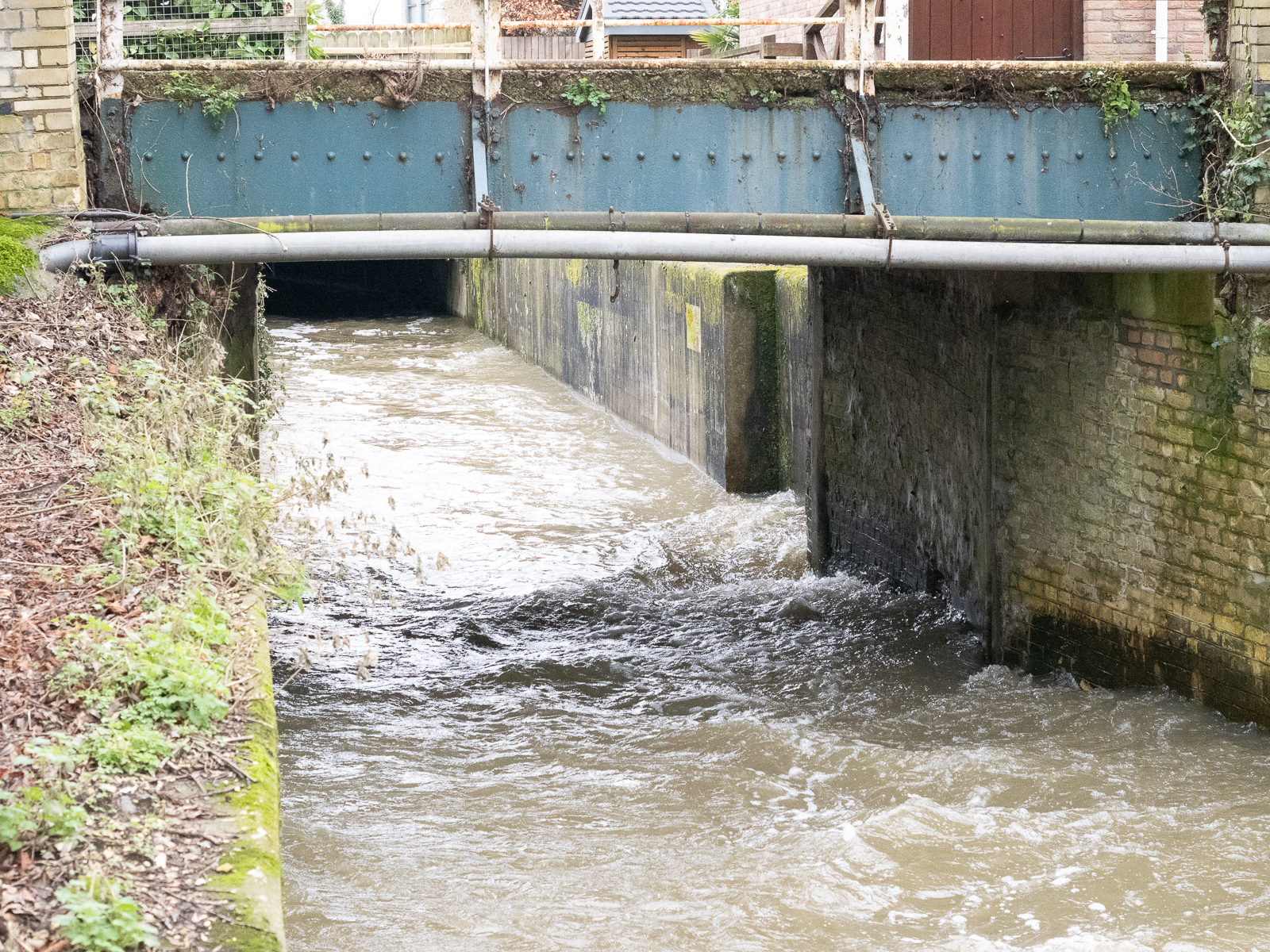
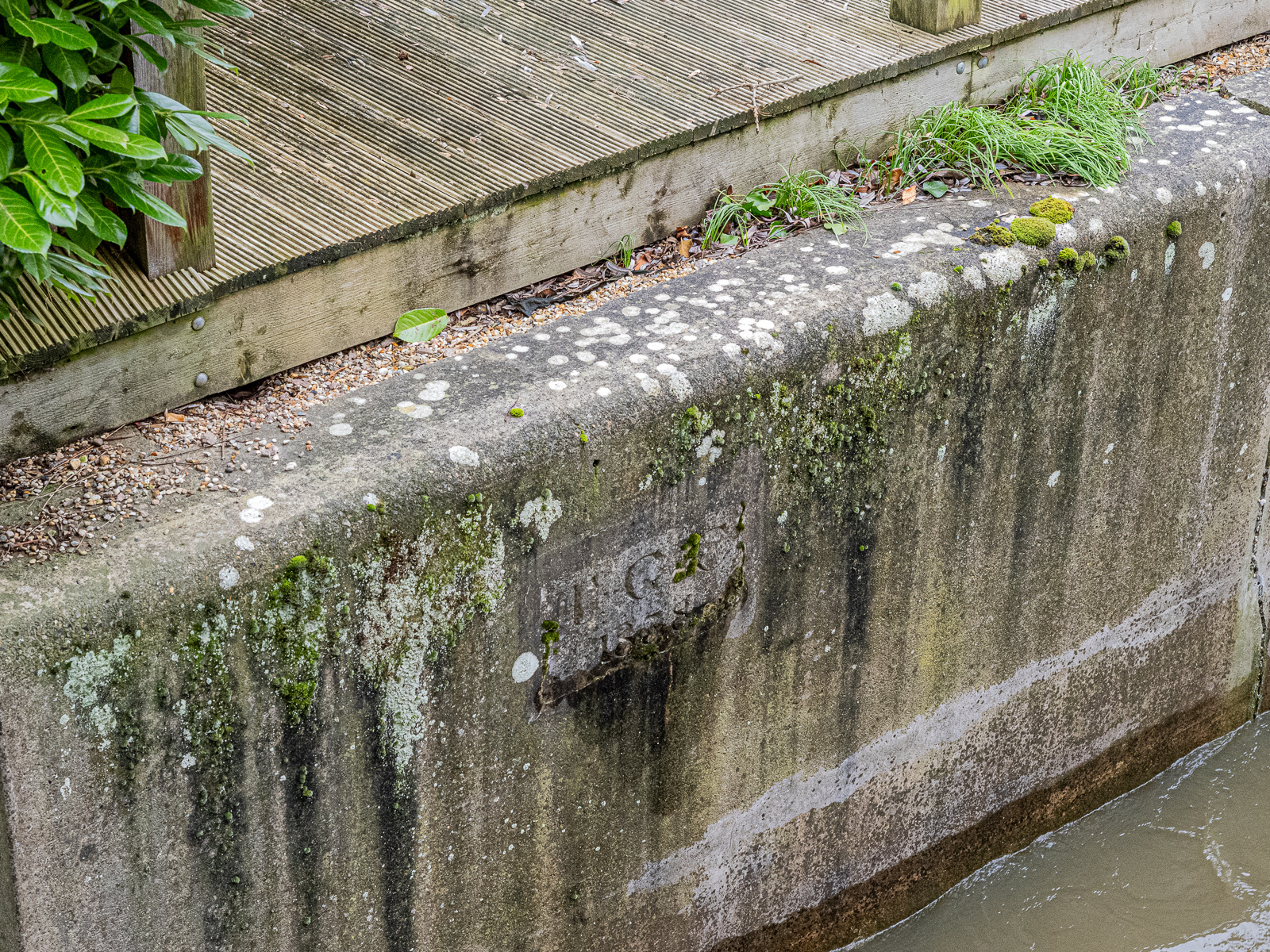
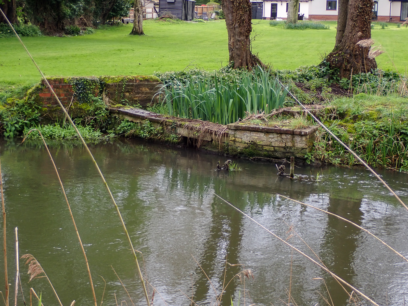
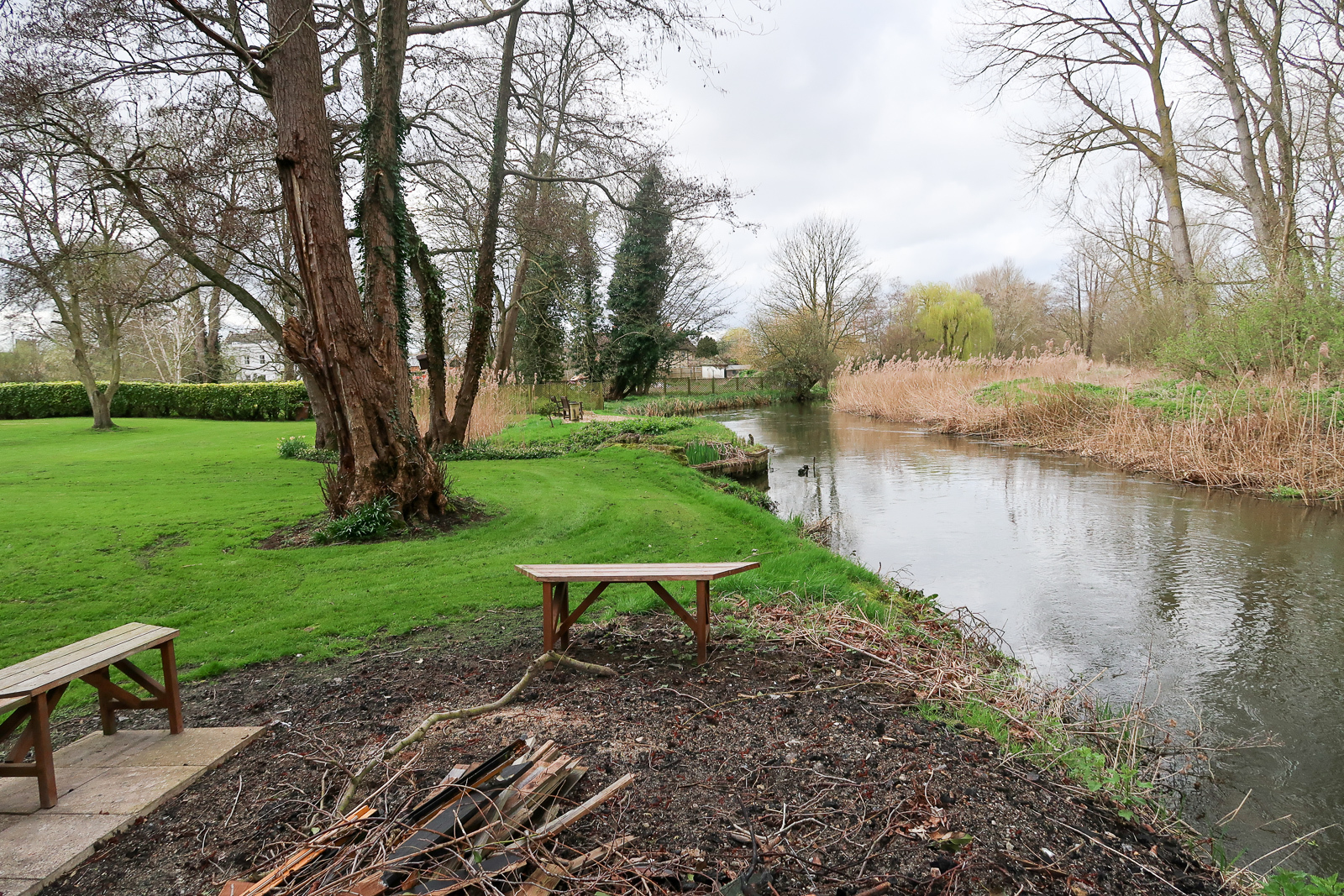
Barton Mills Lock (18)
Grid ref. TL 7261 7385, Coordinates N52.3356 E0.5320
Mildenhall
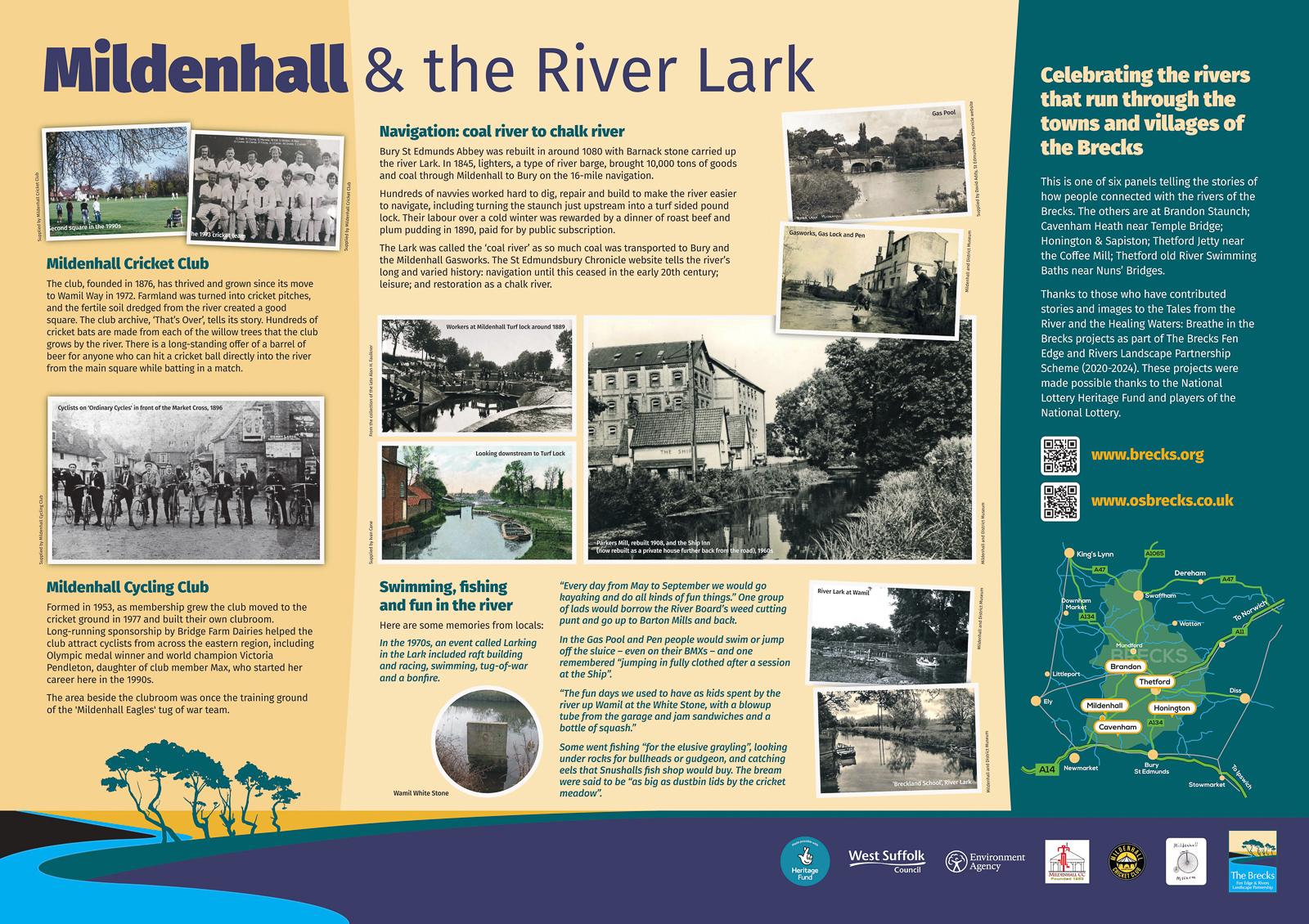
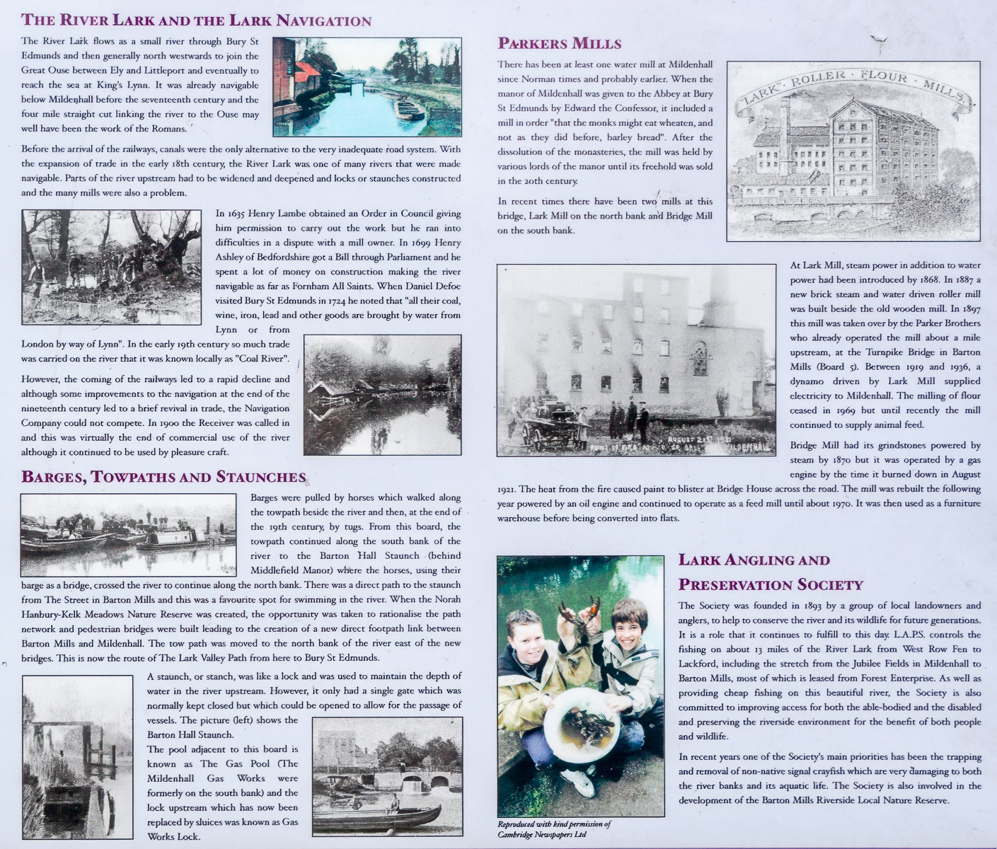
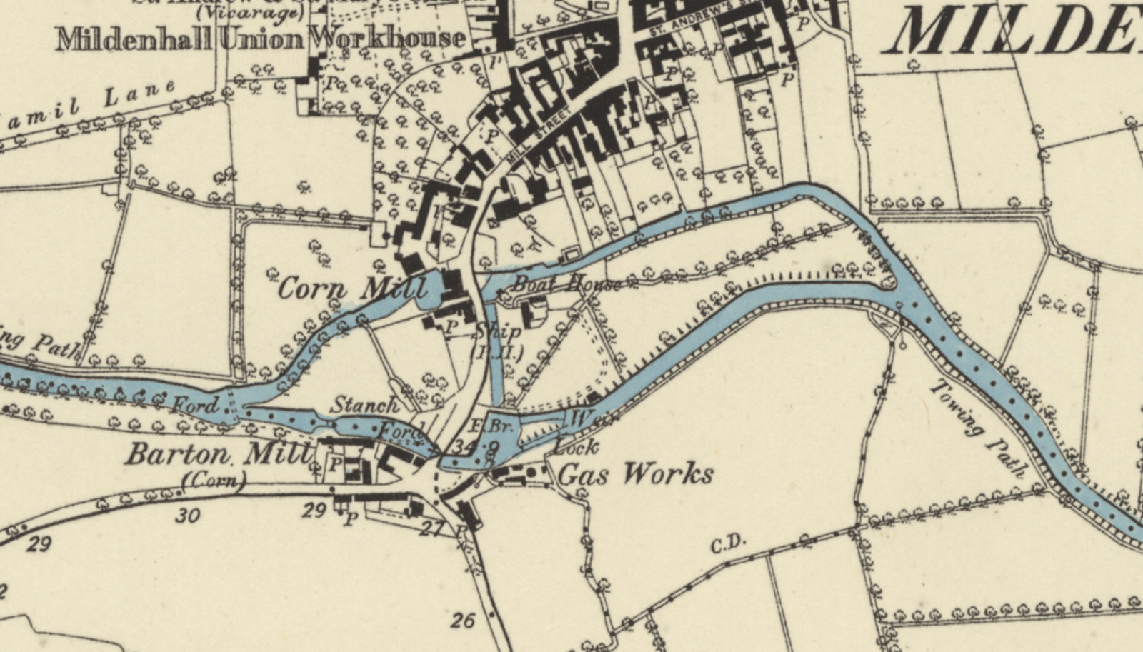
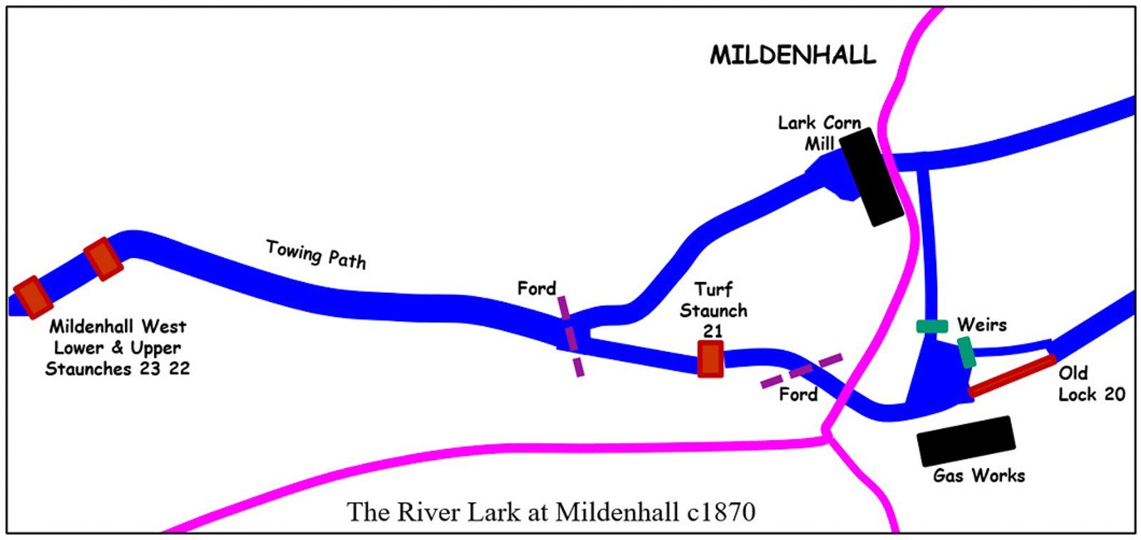
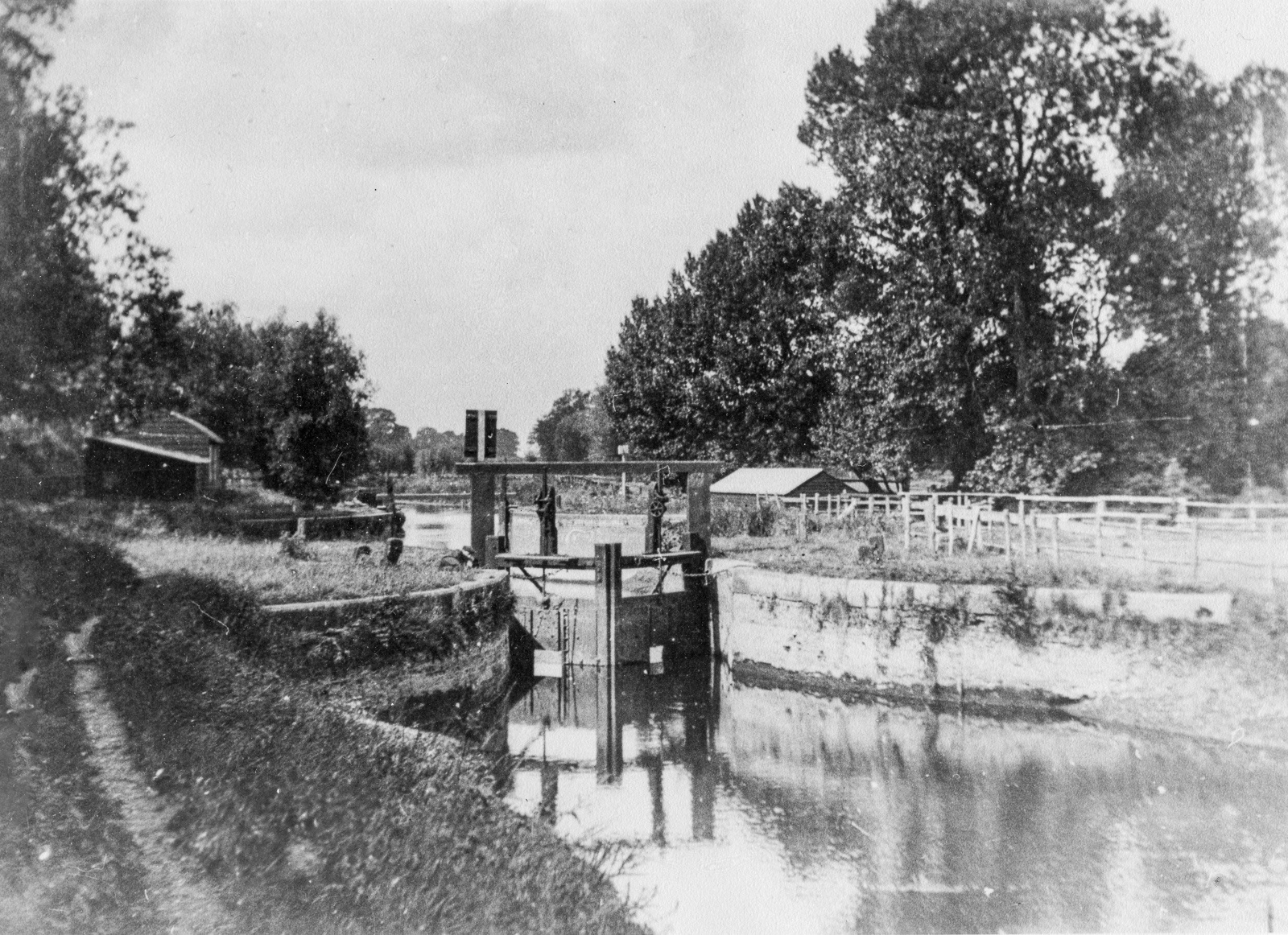
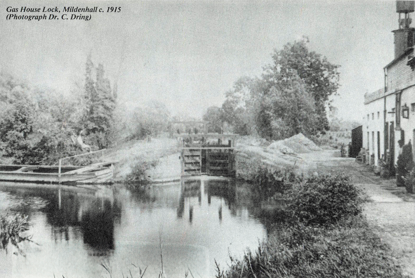
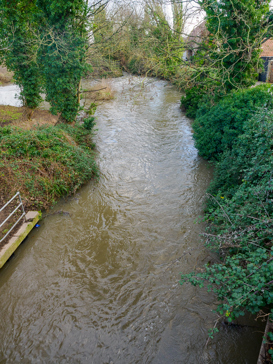
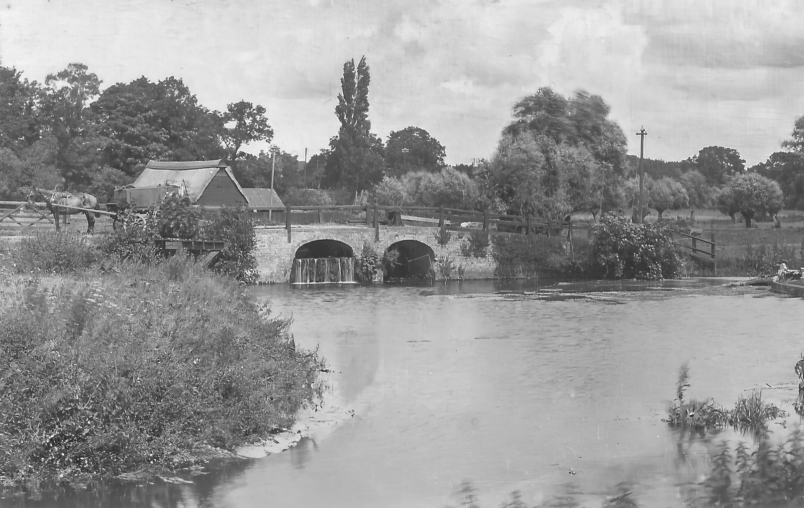
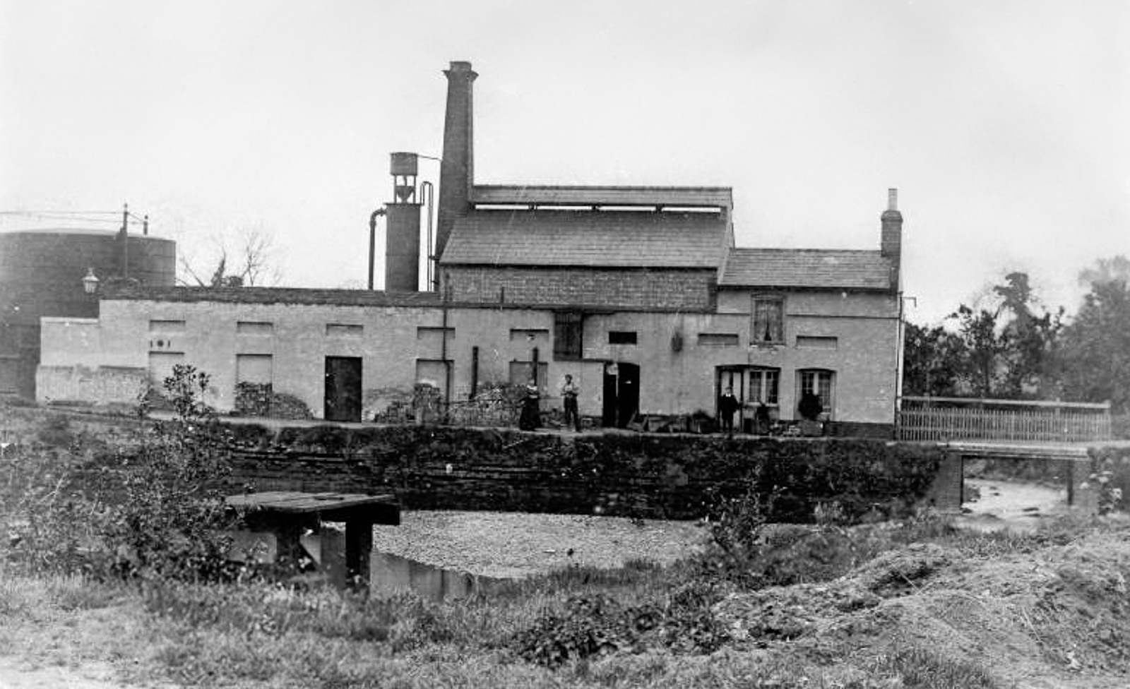
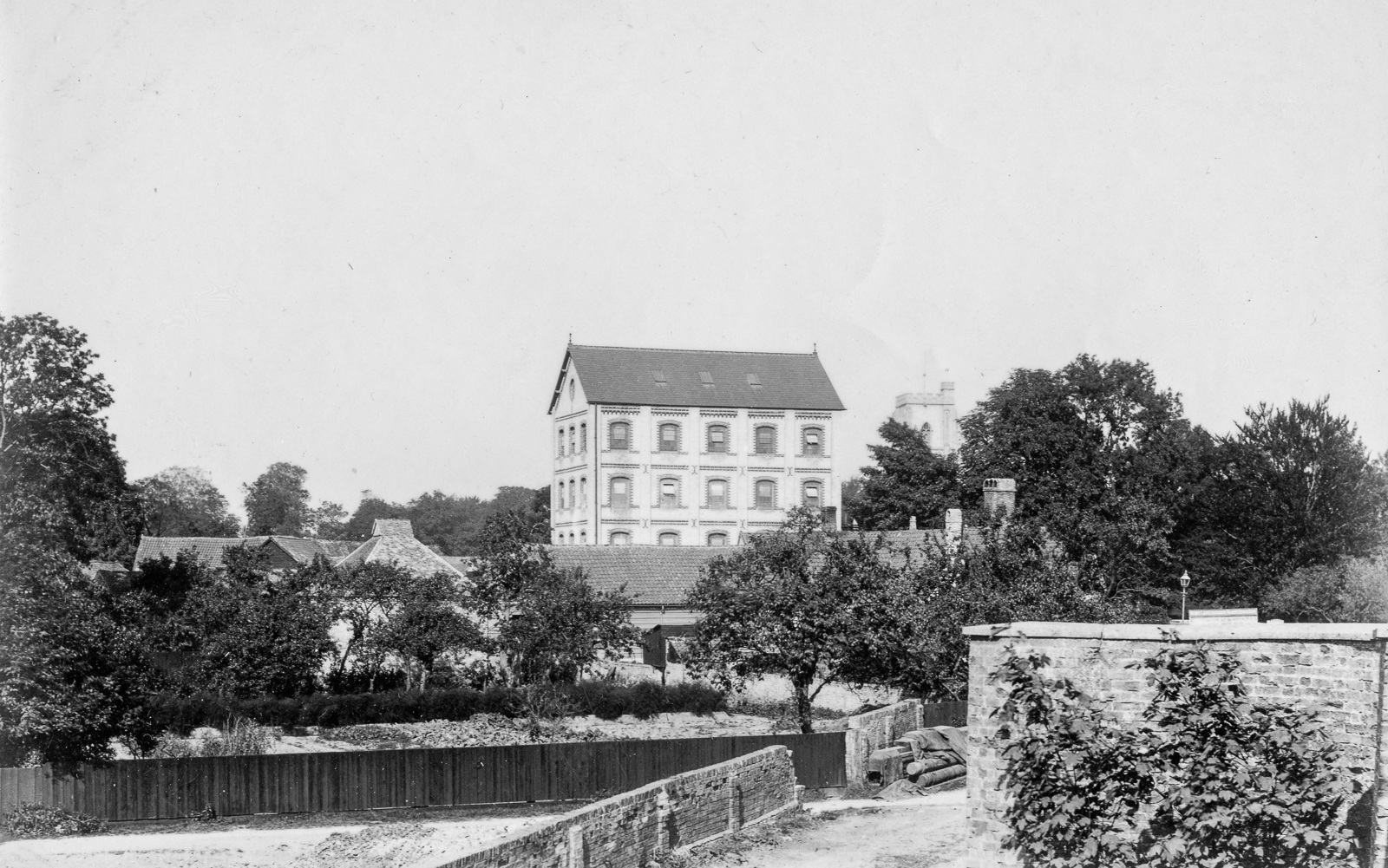
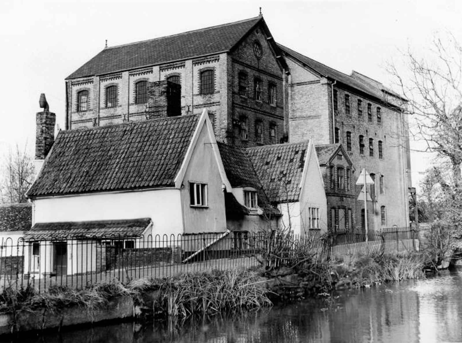
A short distance downstream from Barton Mills, the Lark skirts the southern edge of Mildenhall, and splits into two legs. One is a large leat and mill pond which fed the former Parker Brothers’ Lark Mills (shortly, you can click on the link to go to a page about Parker Brothers and their mills).
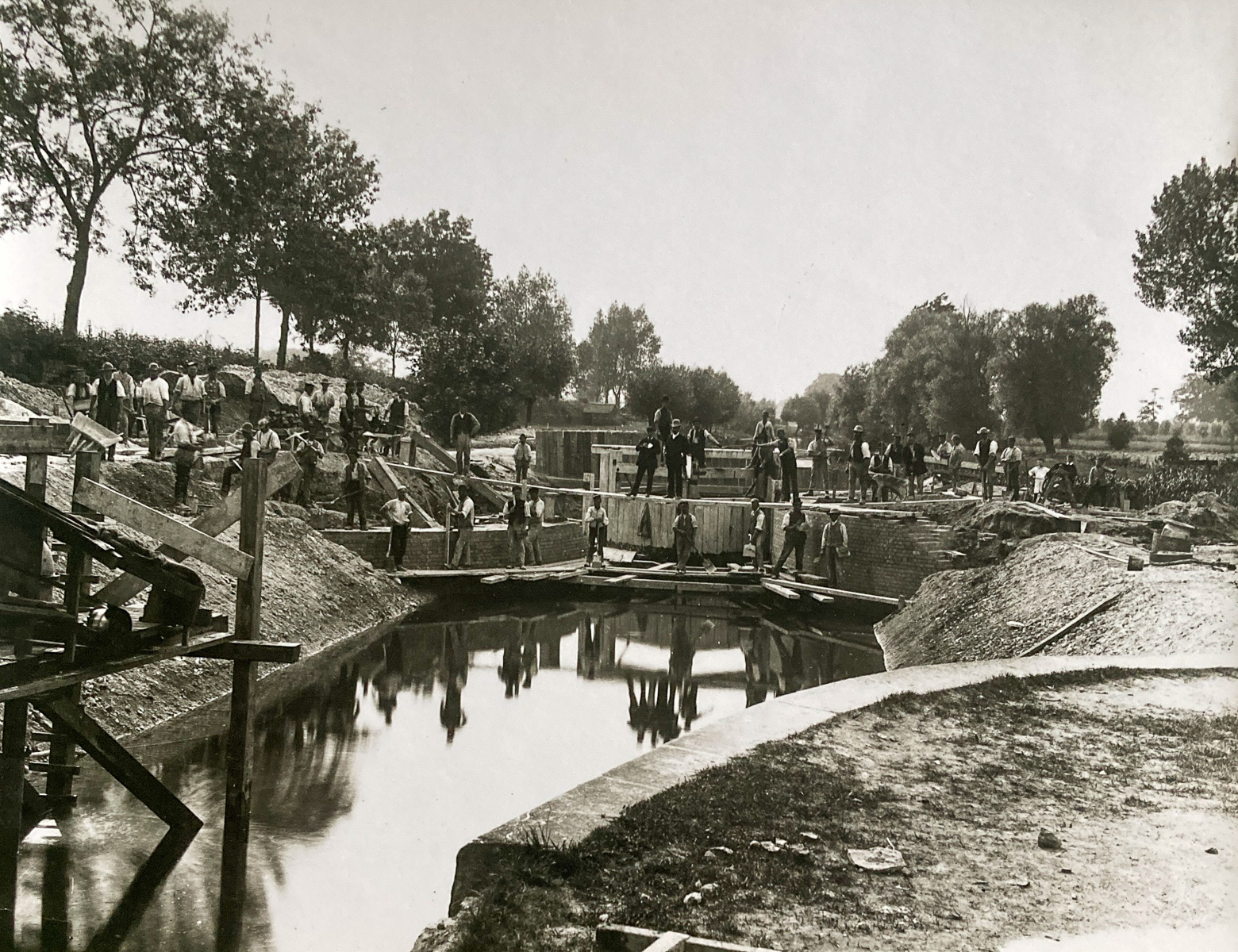
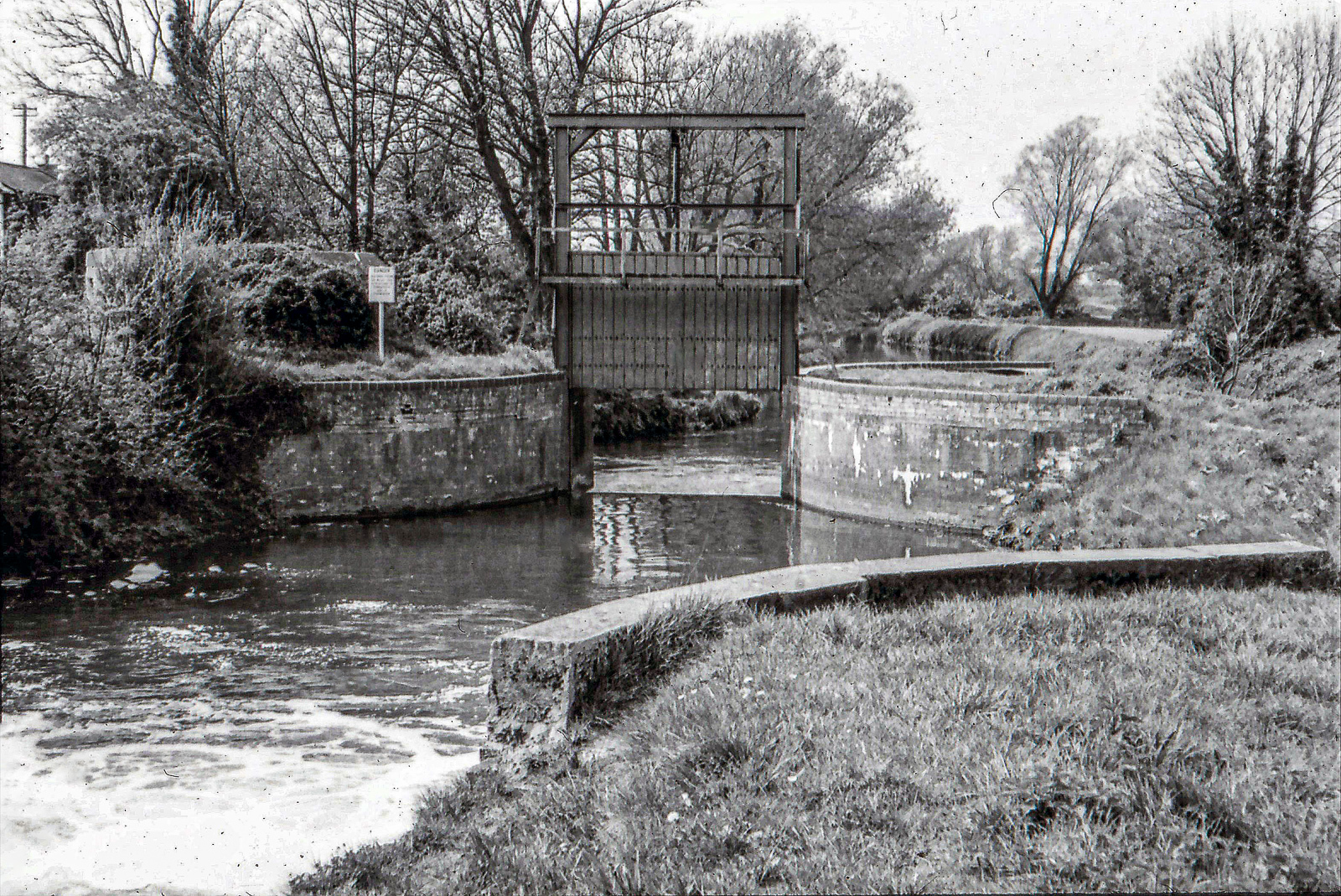
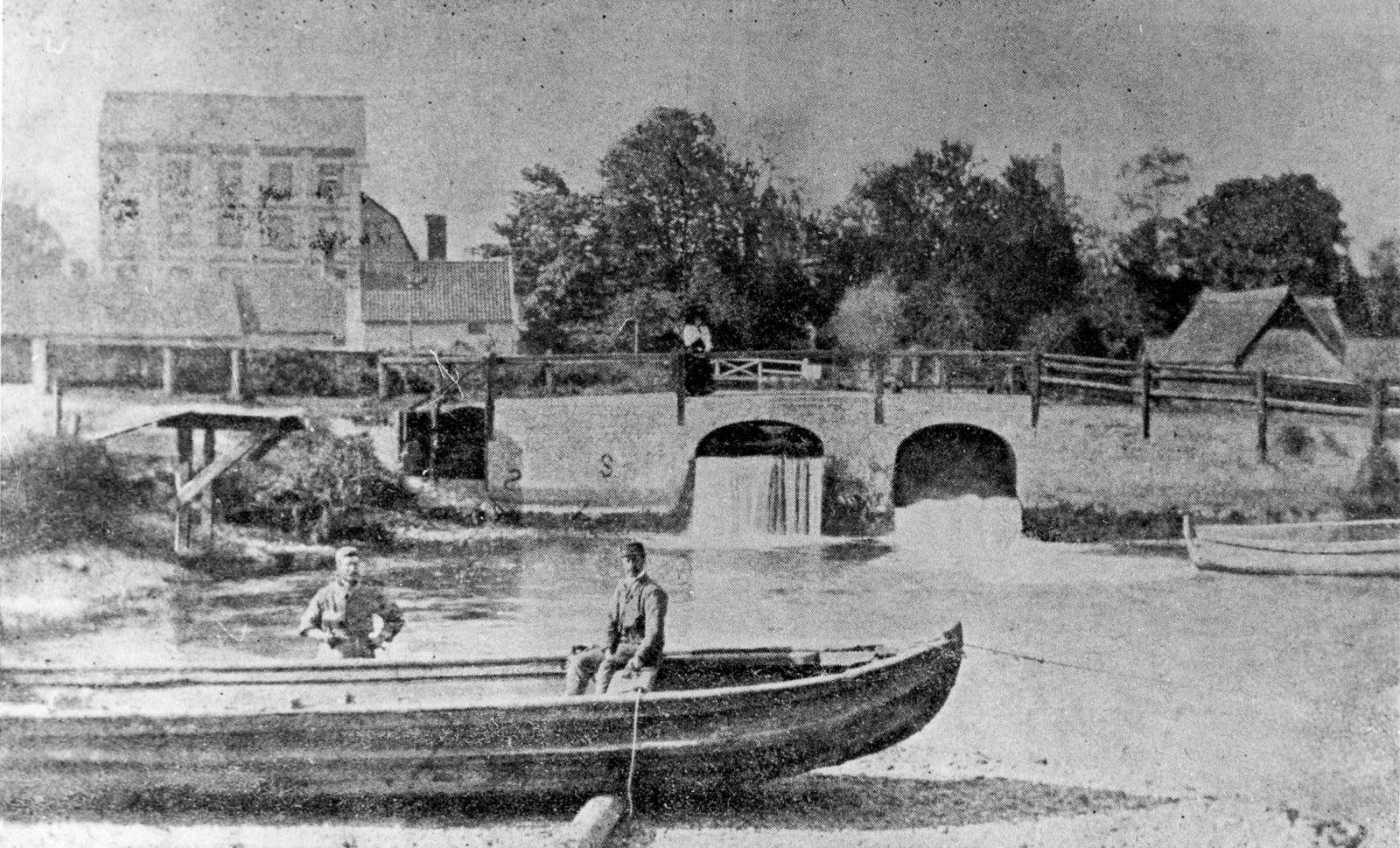
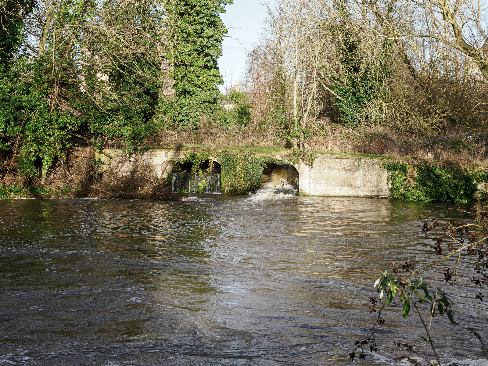
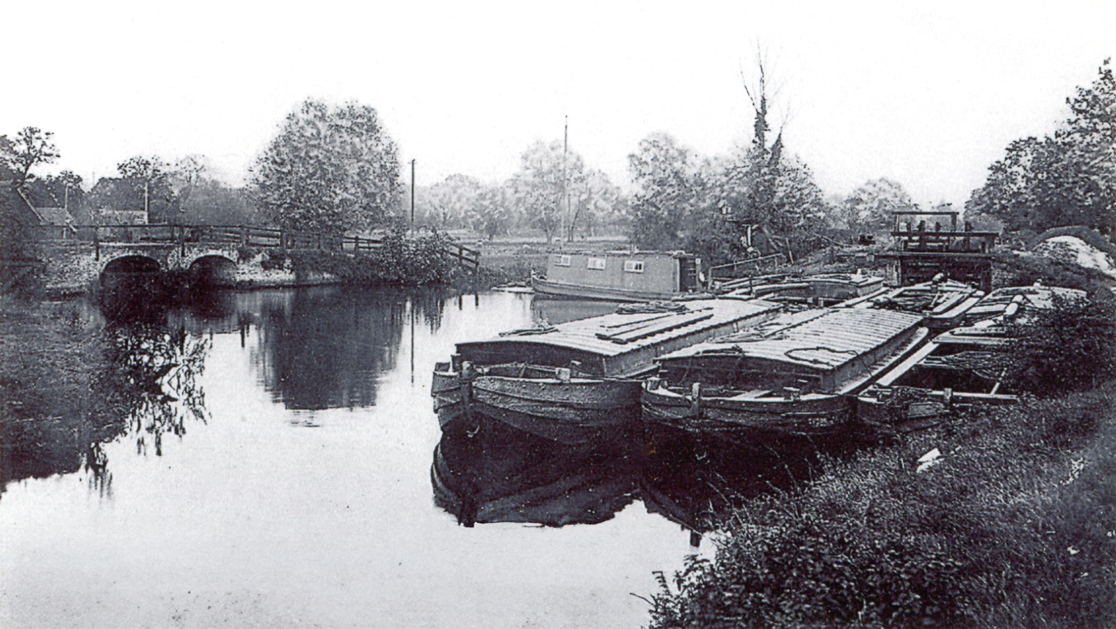
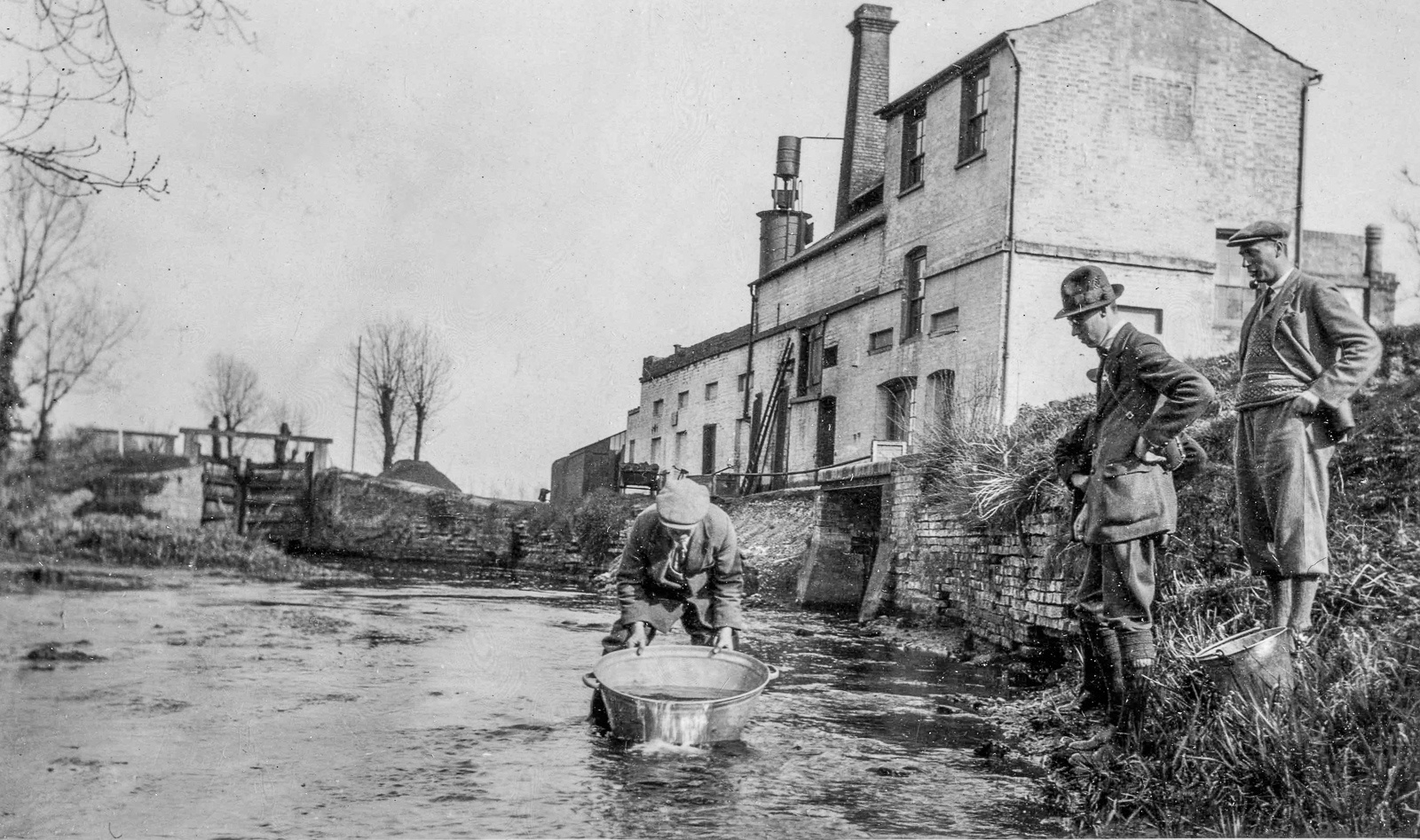
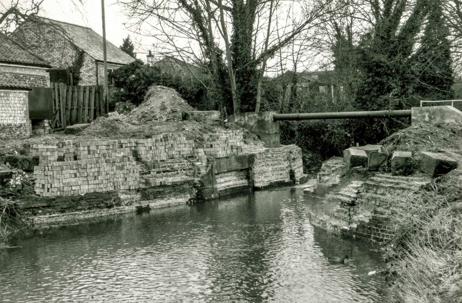
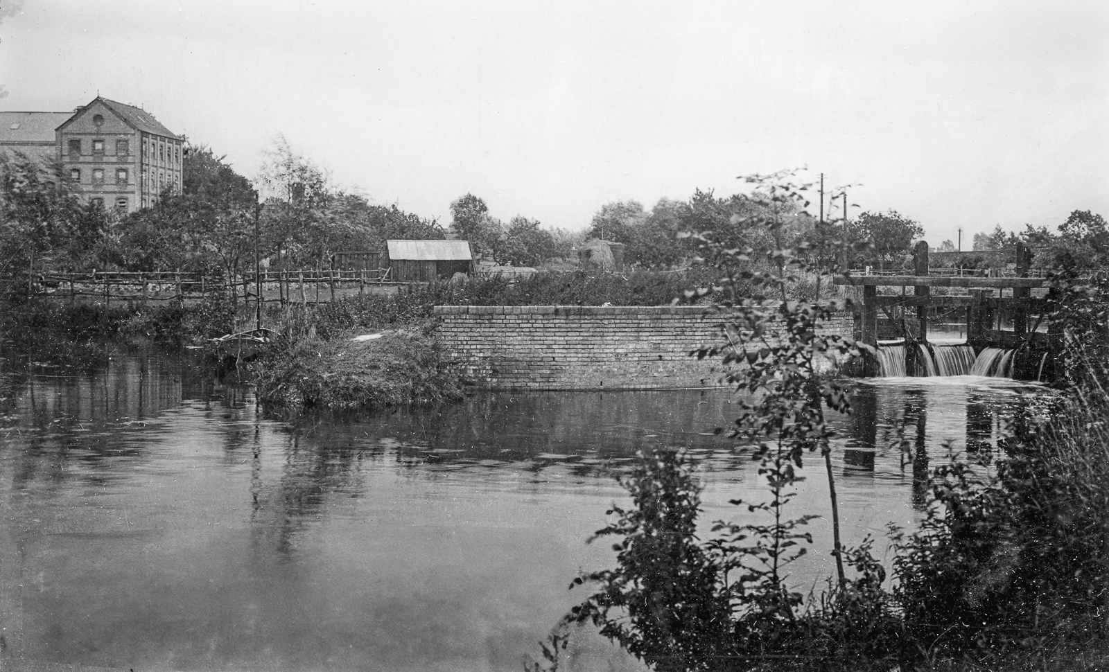
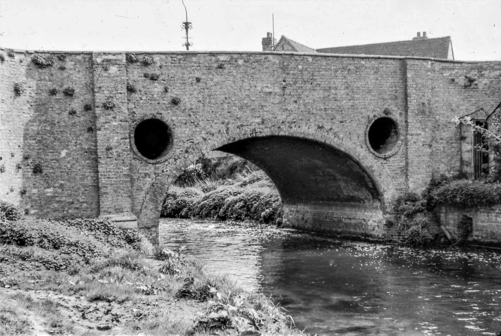
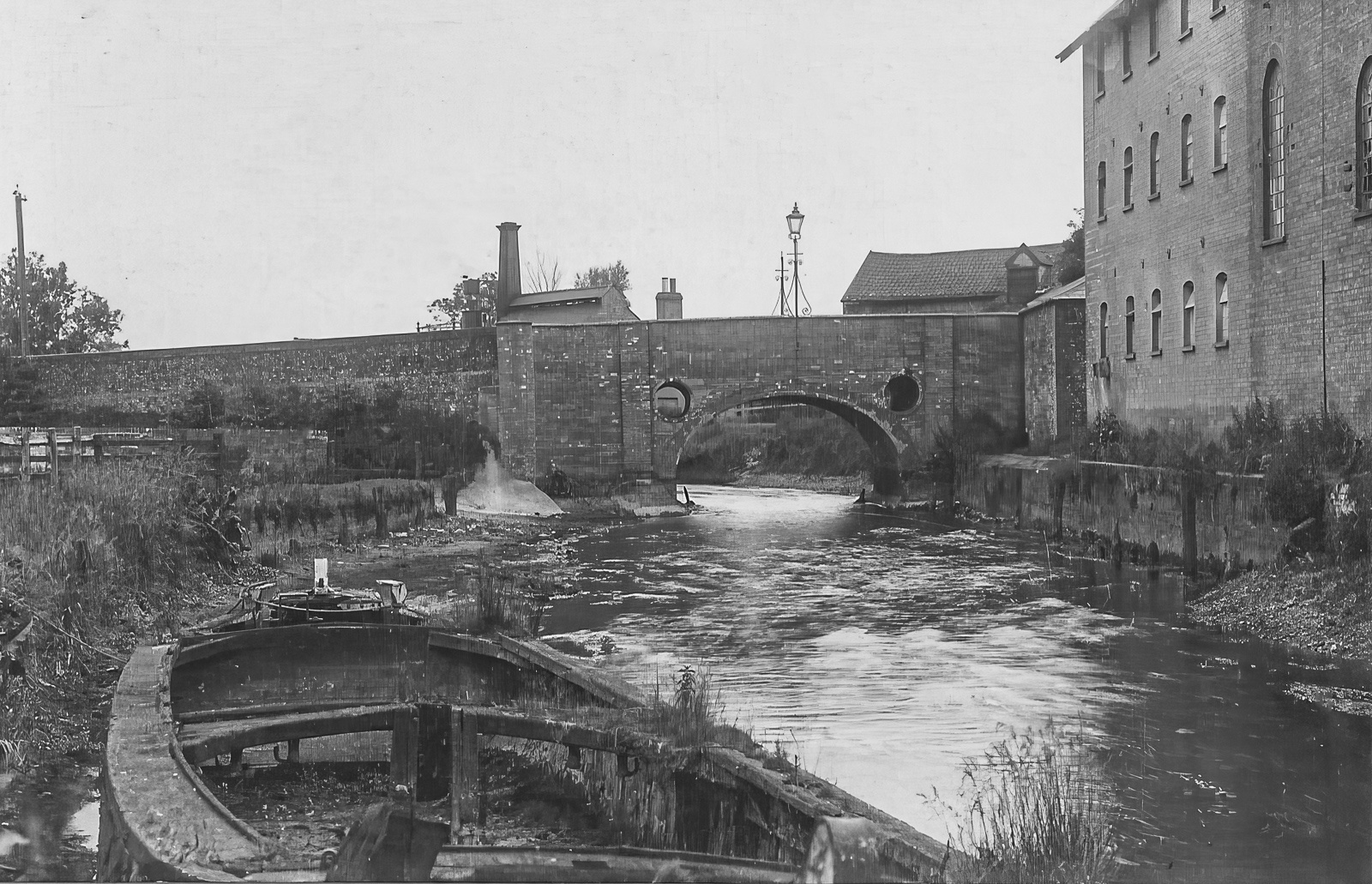
The other passes through the former gasworks lock (now a sluice) and turf lock, before becoming a single stream again. There are many different river and riverside structures. Mildenhall is on the very southwest corner of the Brecks.
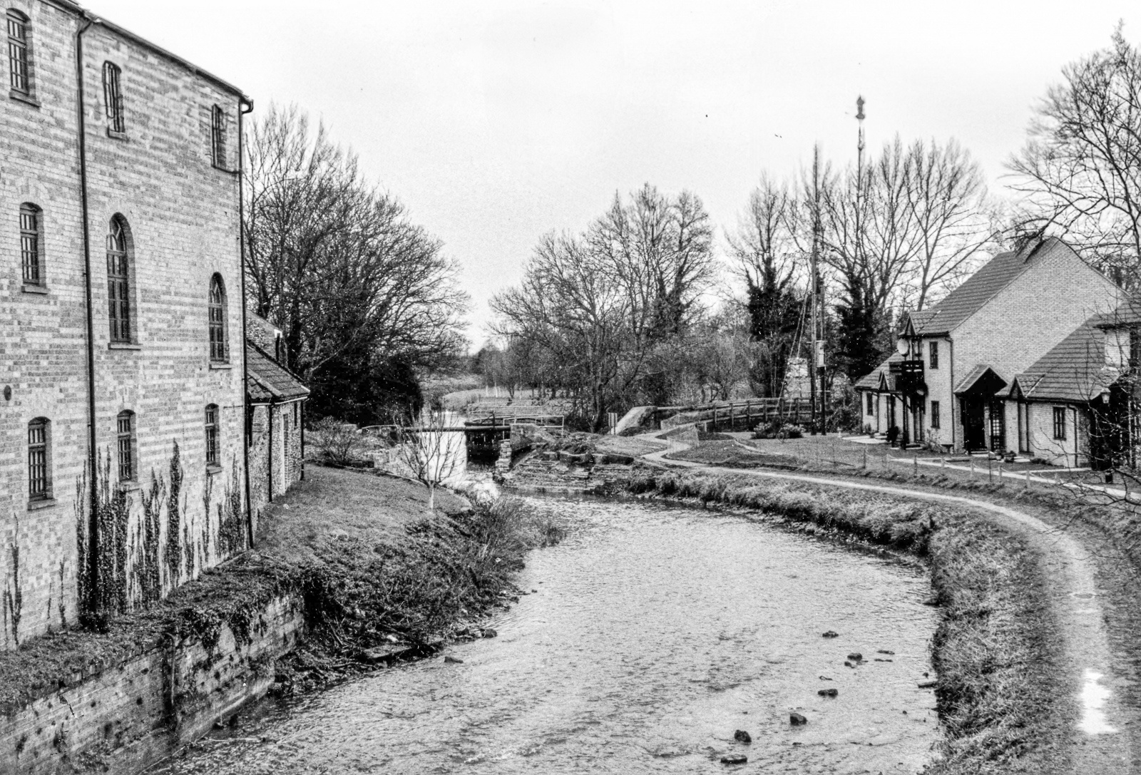
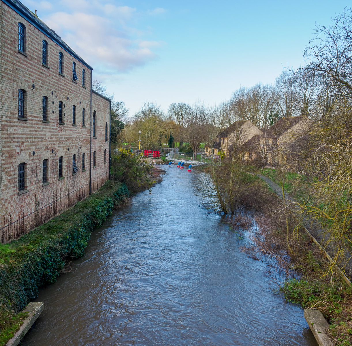
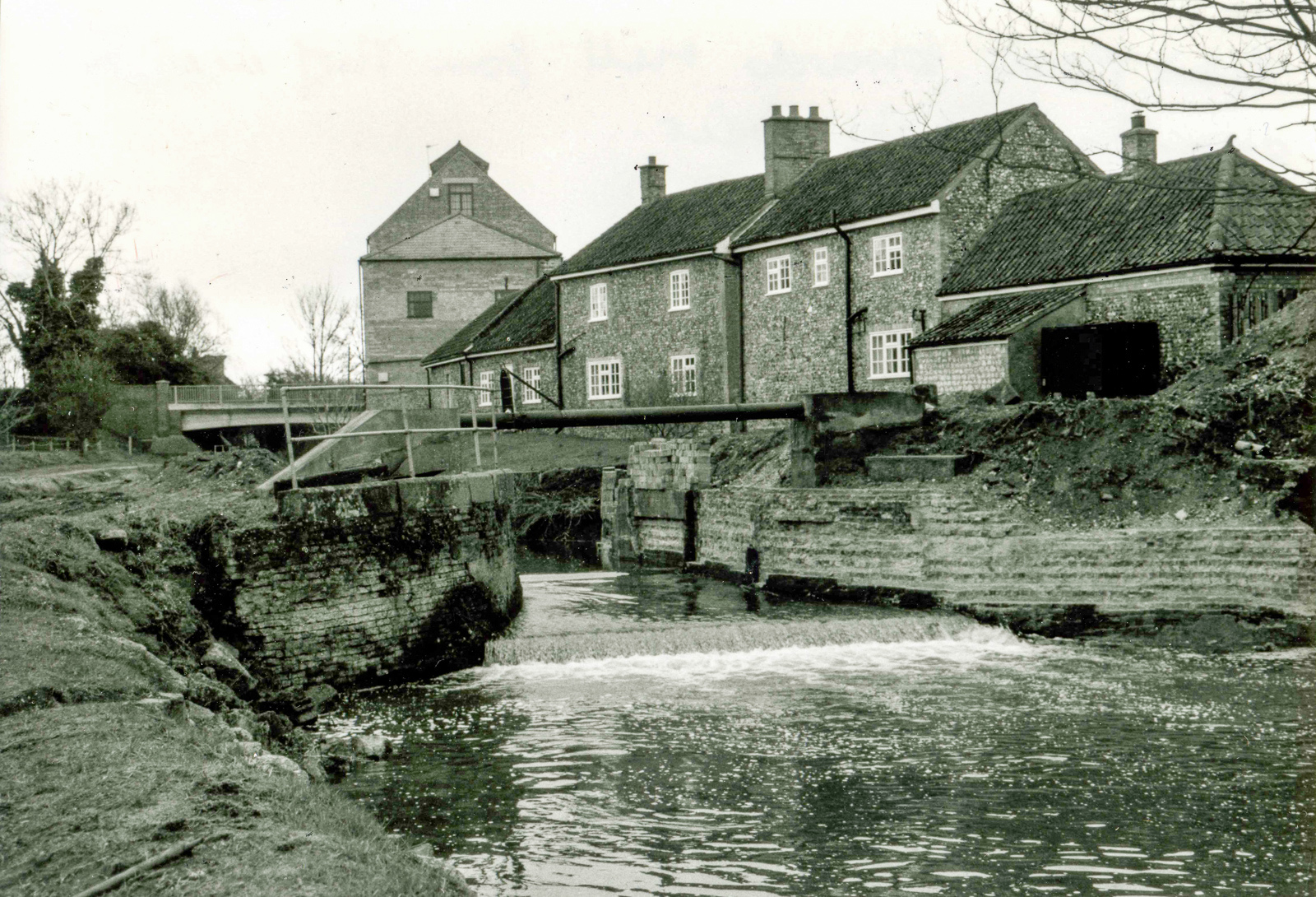
Most of these images come from the extensive collection of Mildenhall and District Museum and are reproduced with their permission and encouragement. We encourage you to visit it!
Beyond Mildenhall: Into the Fens
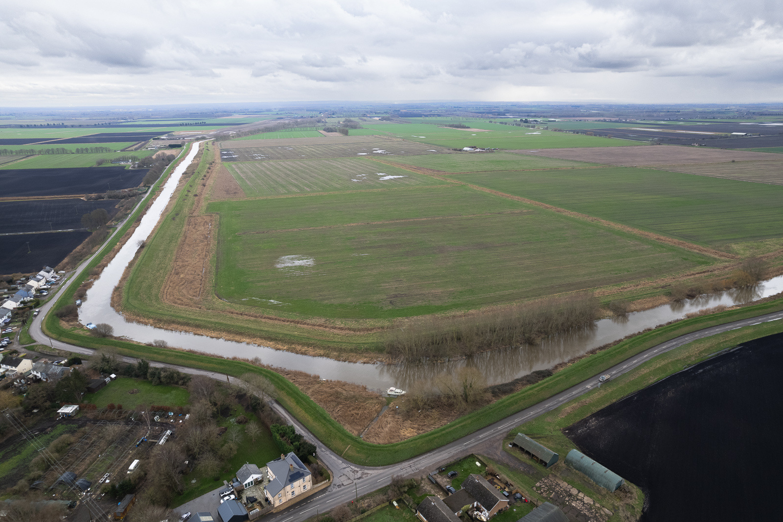
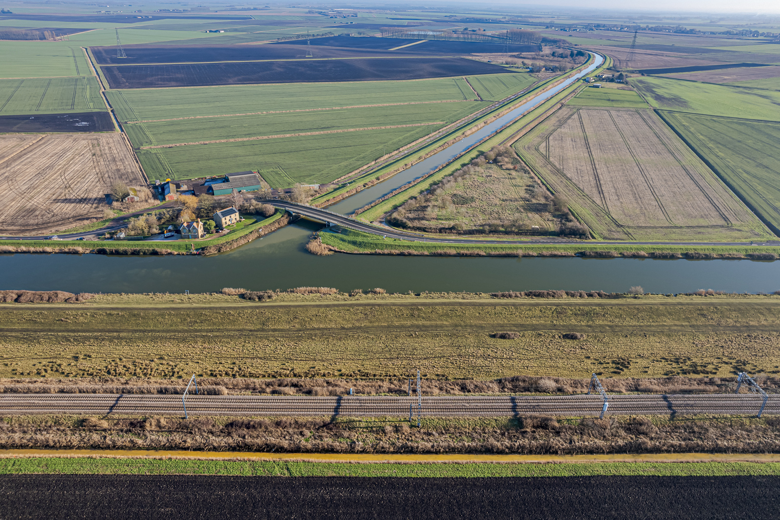
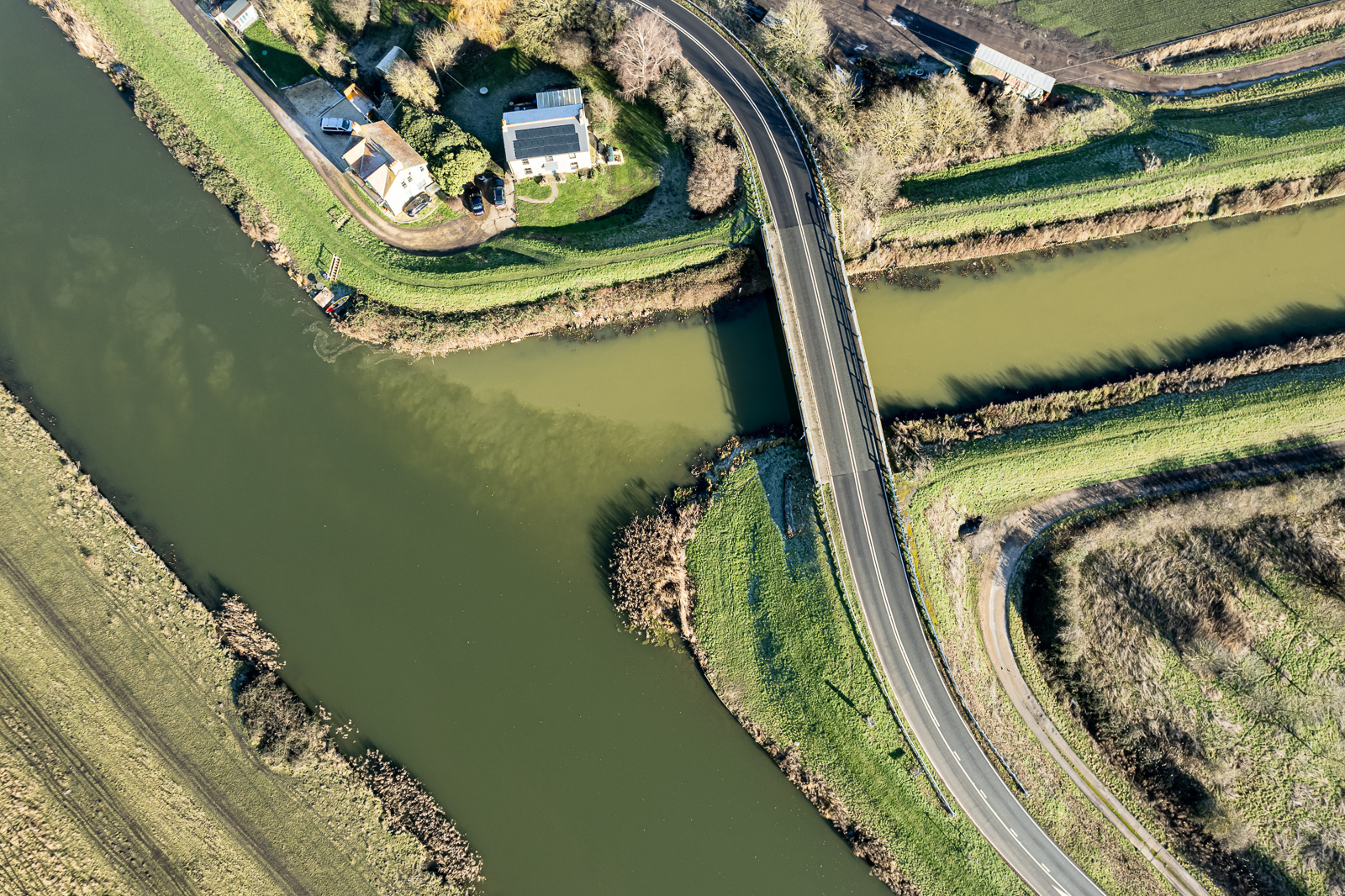
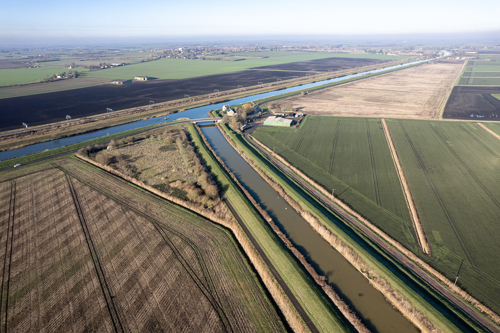
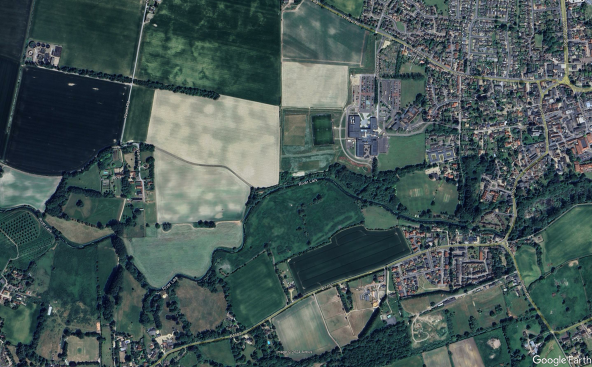
Just beyond Mildenhall, the River Lark leaves the Brecks, and enters the fens proper. The patterns left by ancient fenland rivers can be seen on Google Earth right up to the edge of the town. It then flows past Worlington, West Row, and Isleham, and through Prickwillow, finally entering the Great Ouse at Branch Bank.
King’s Staunch (24)
Grid ref. TL 6908 7436, Coordinates N52.3412 E0.4806
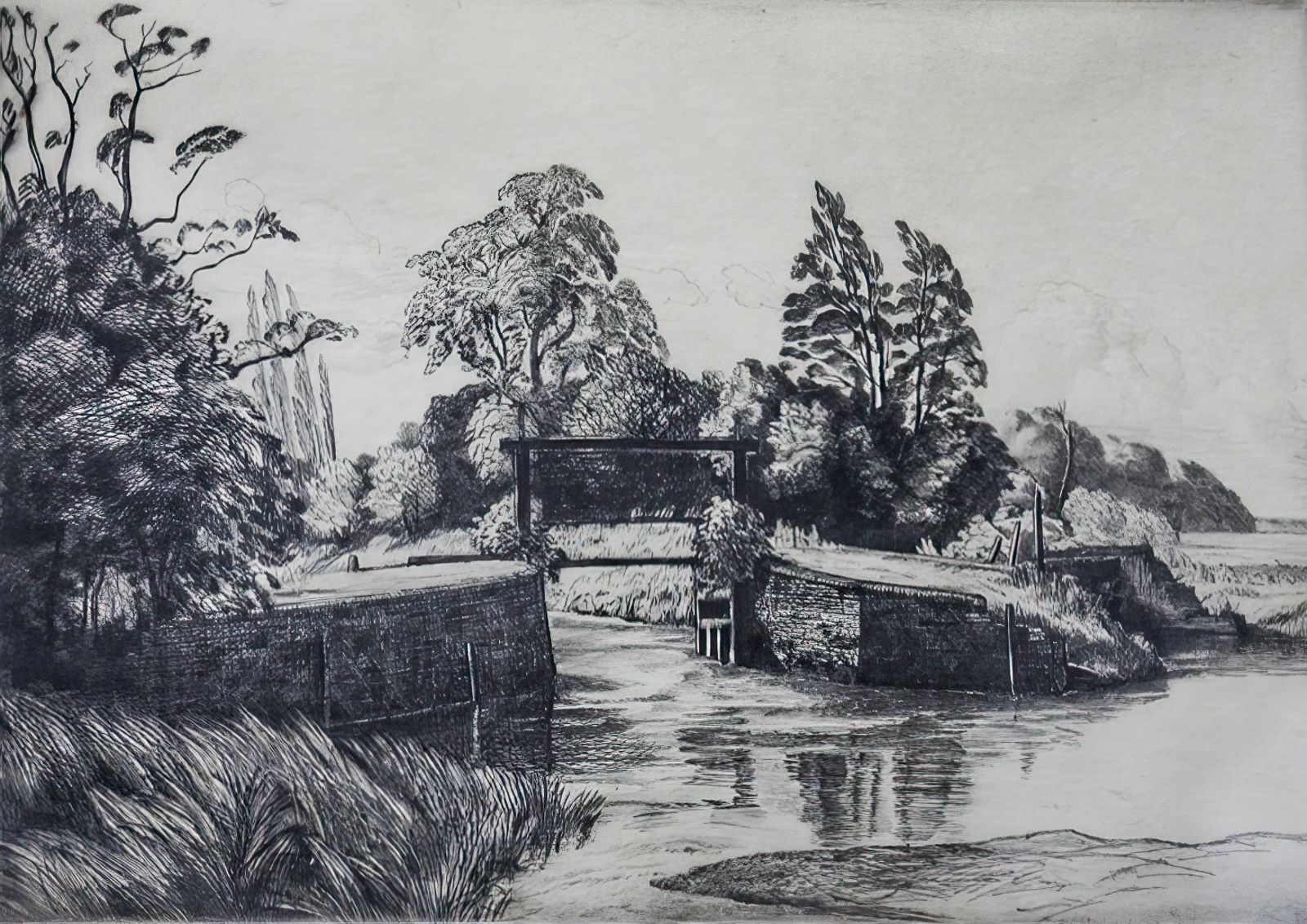
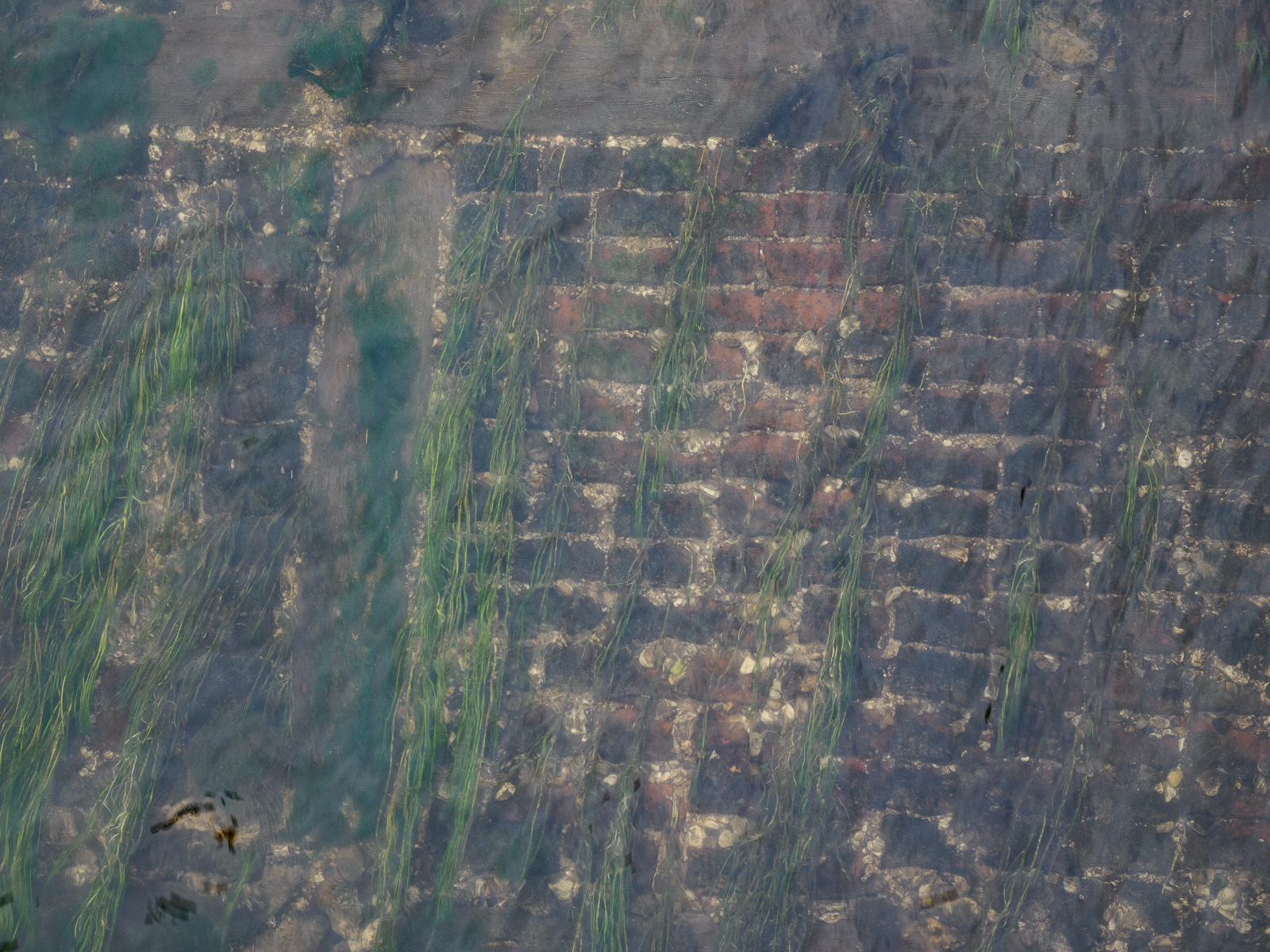
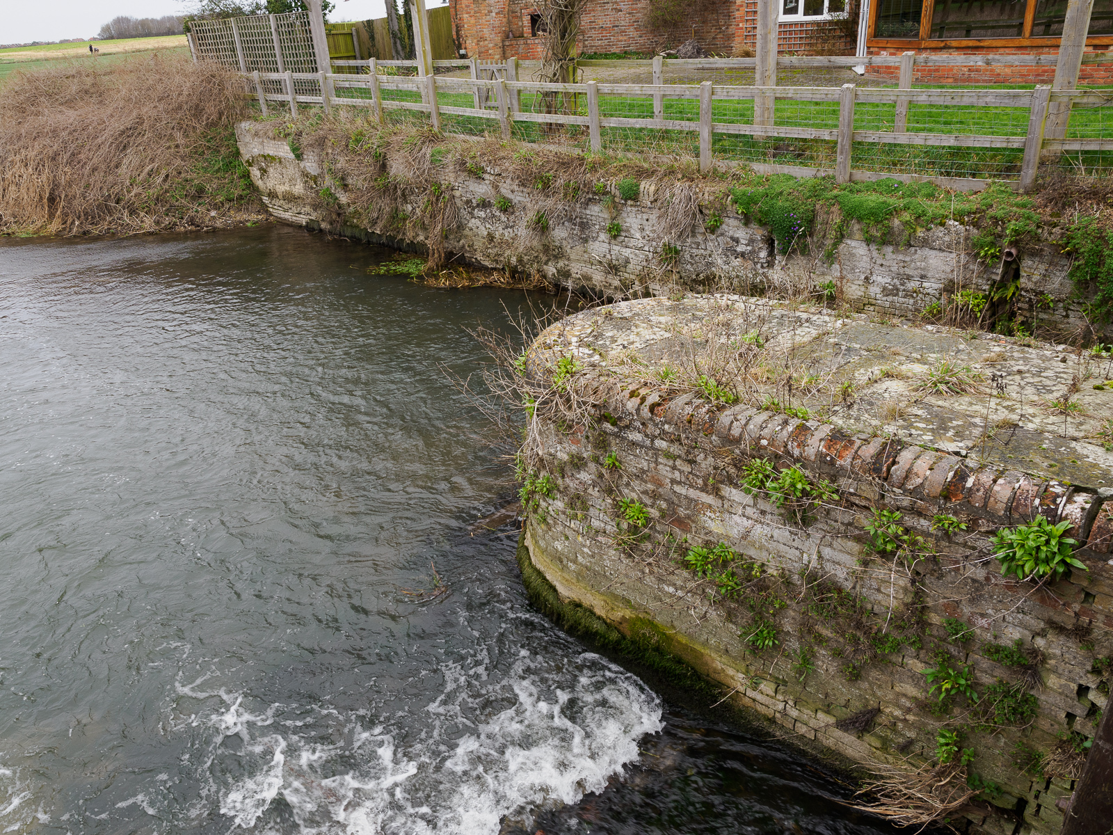
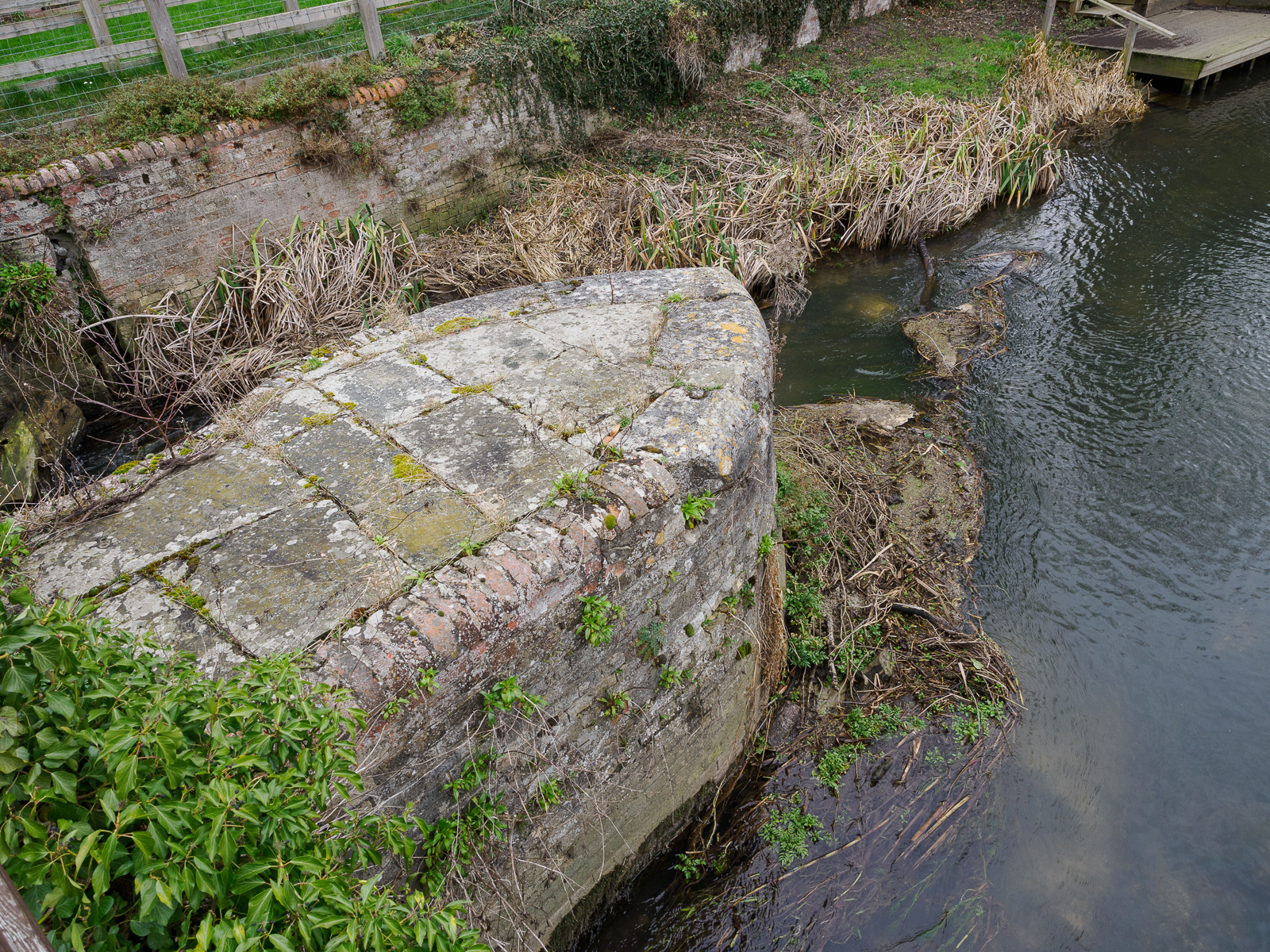
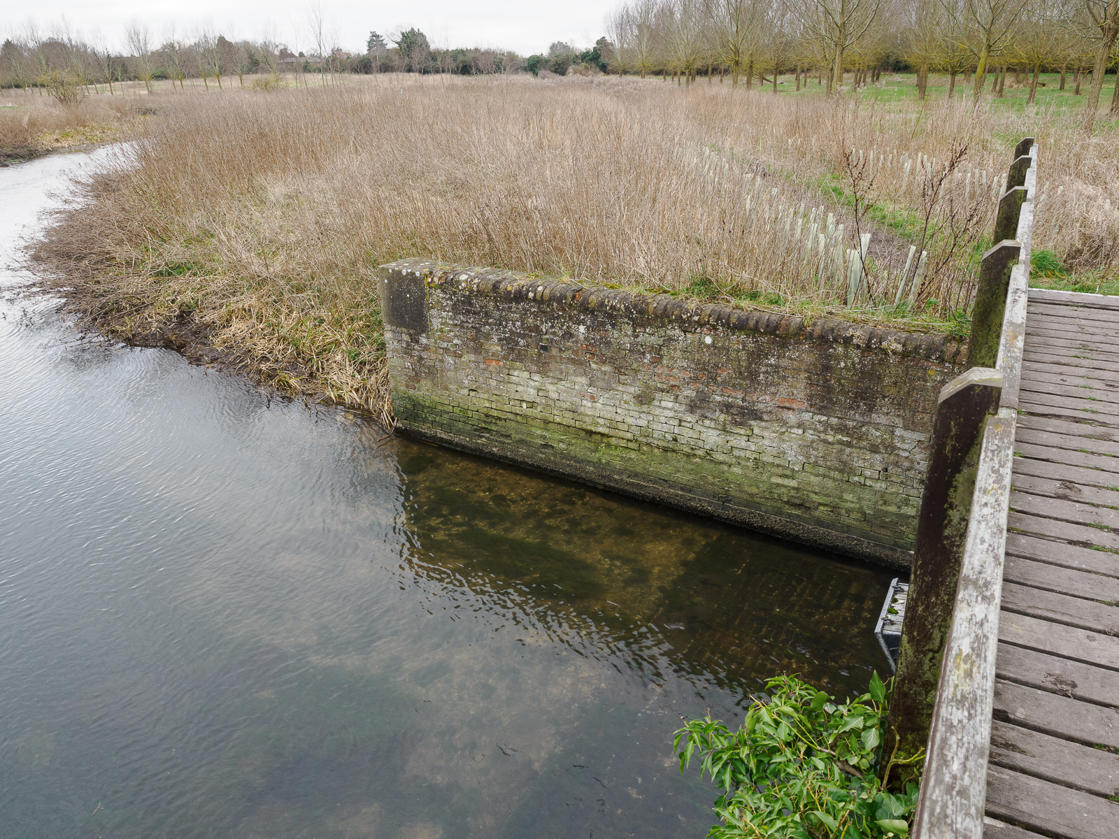
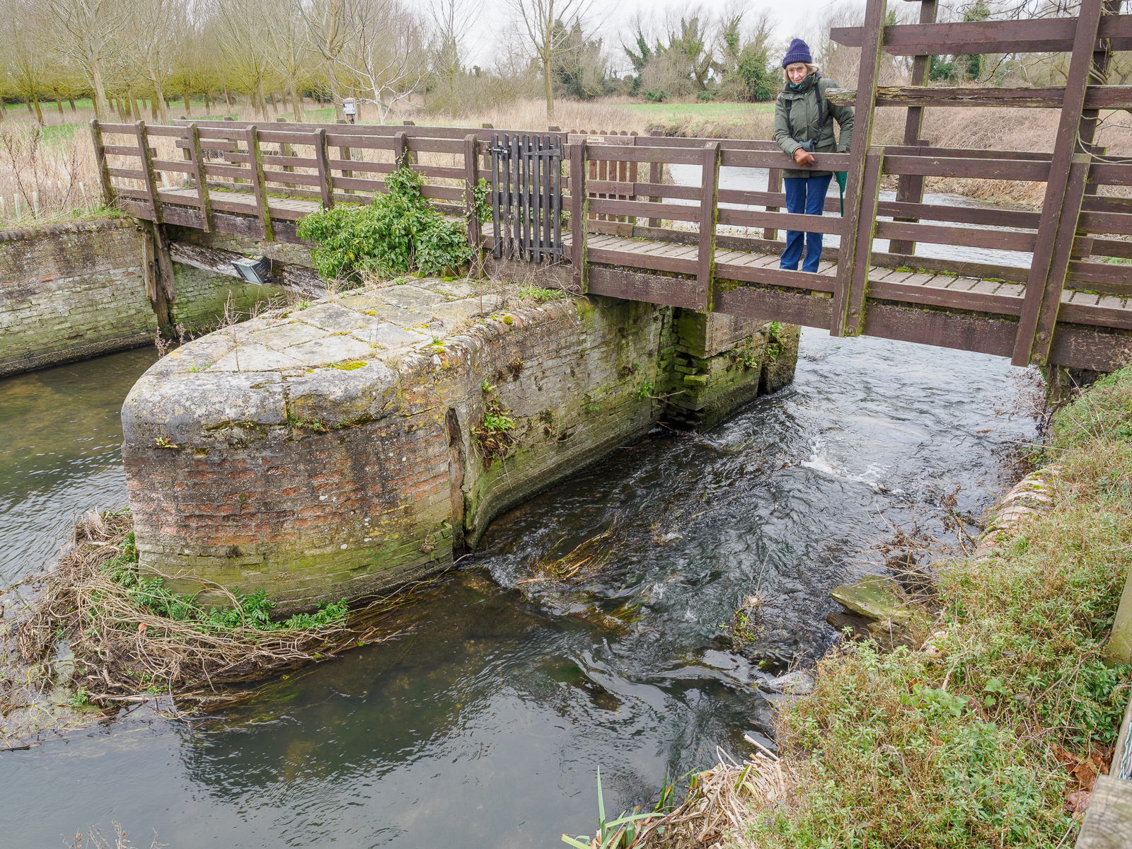
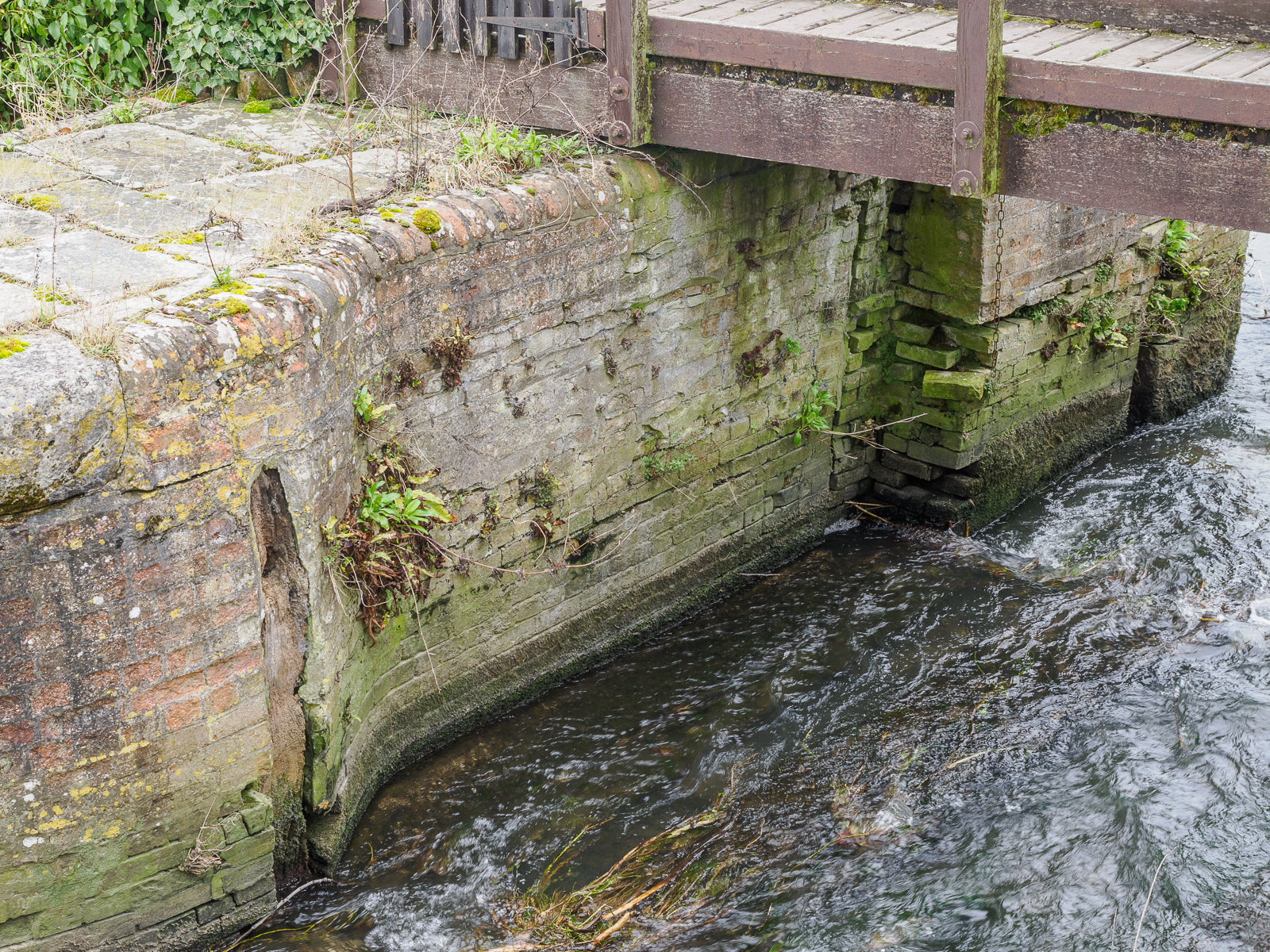
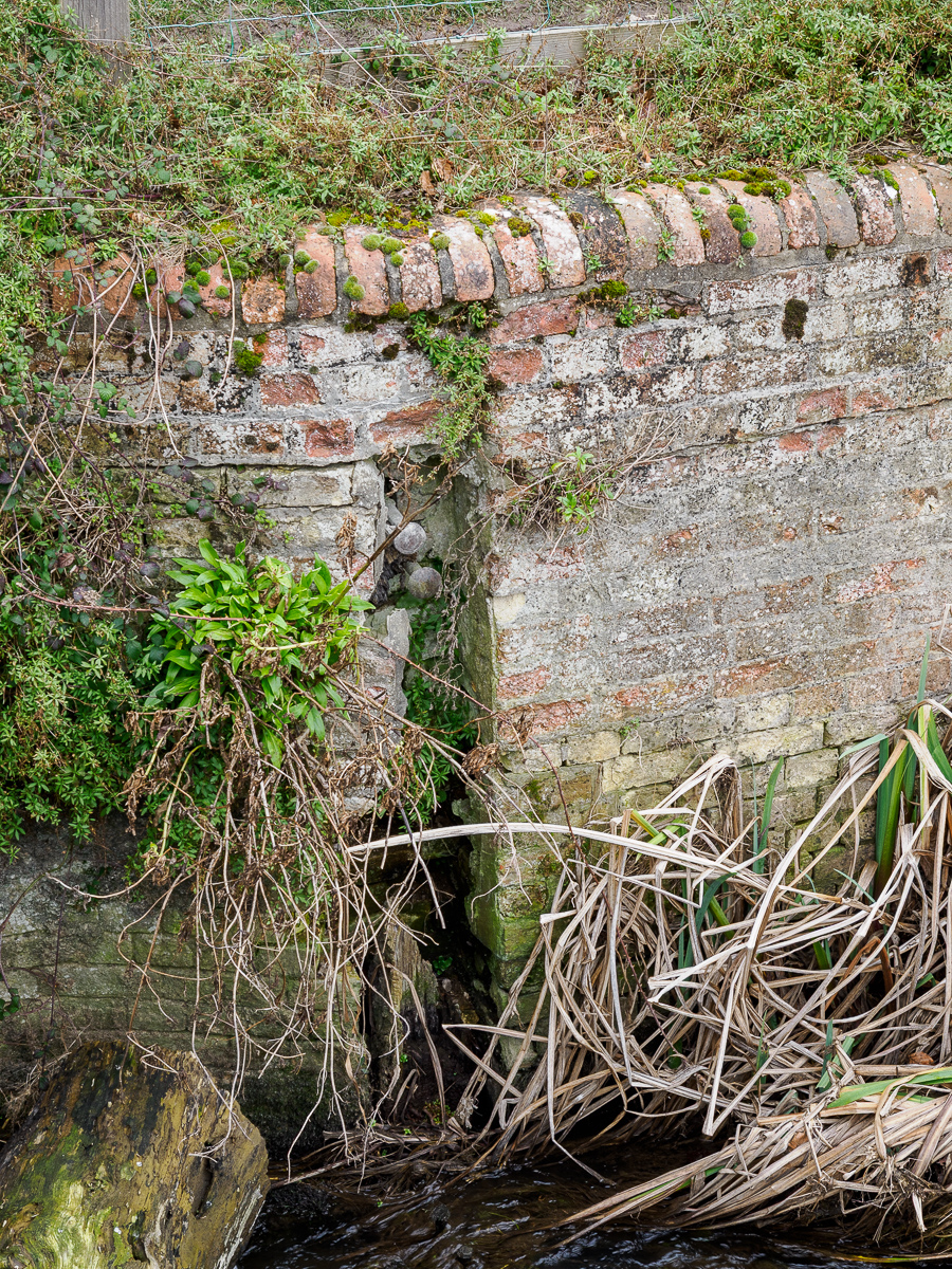
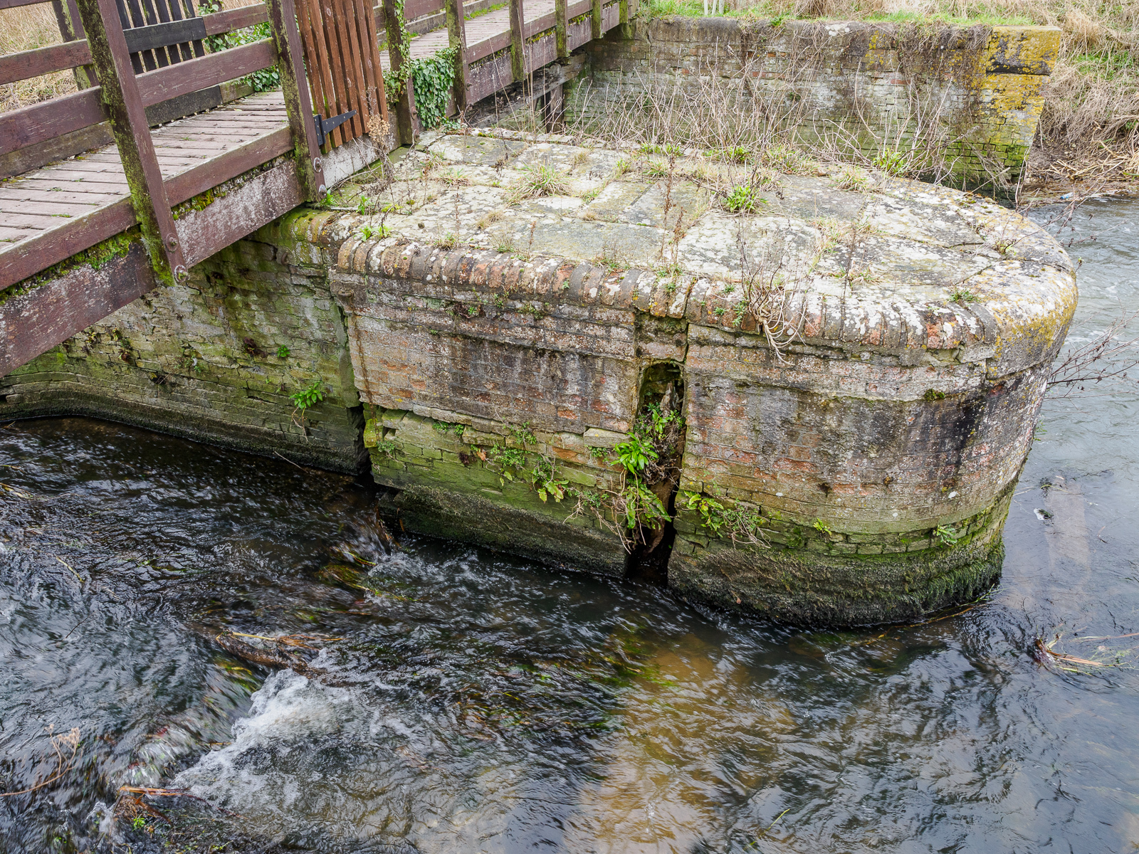
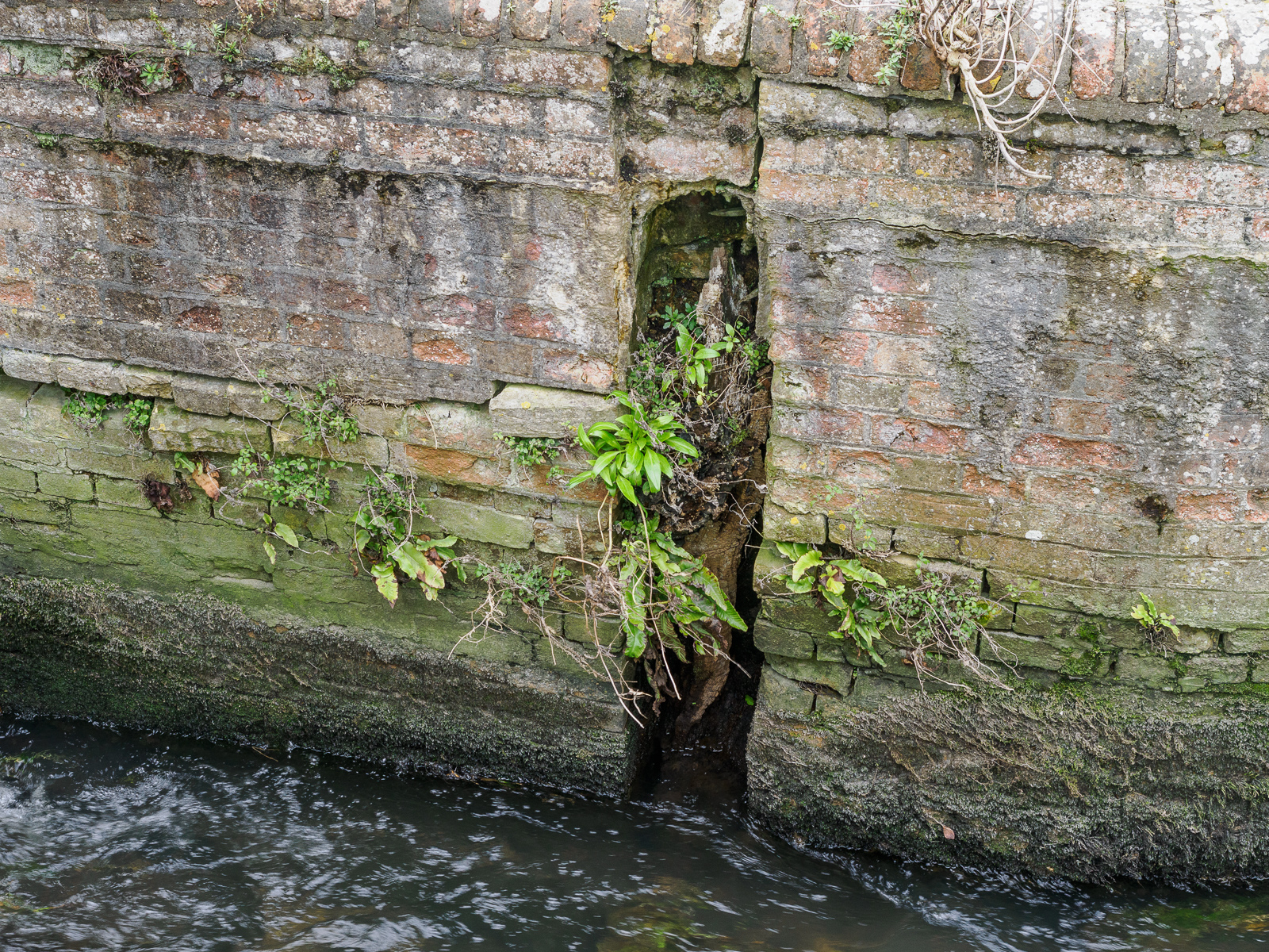
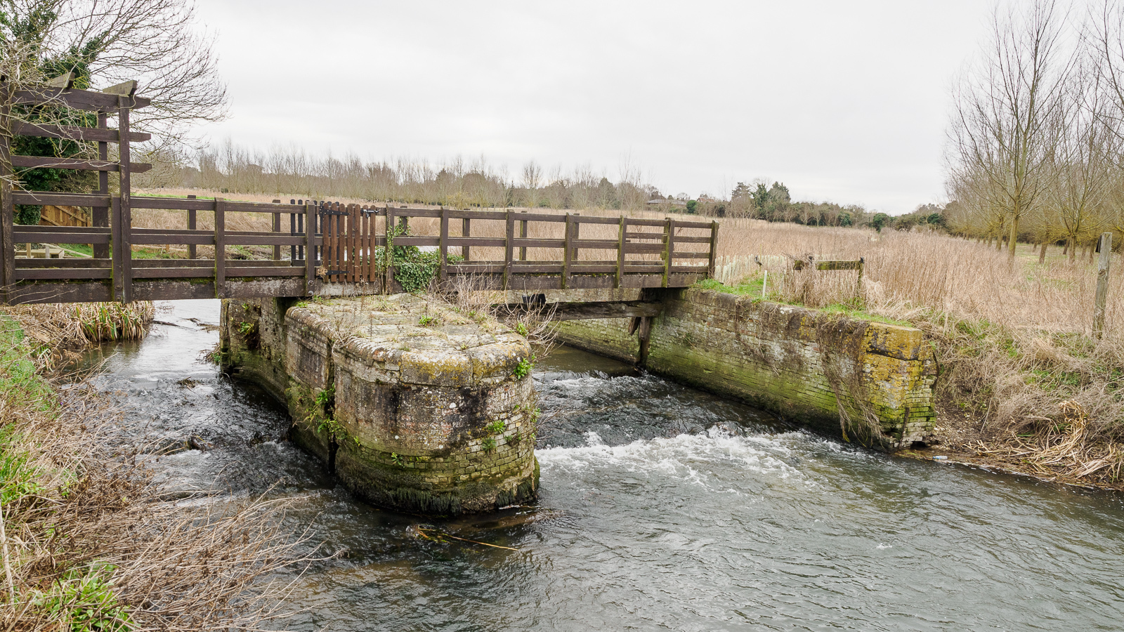
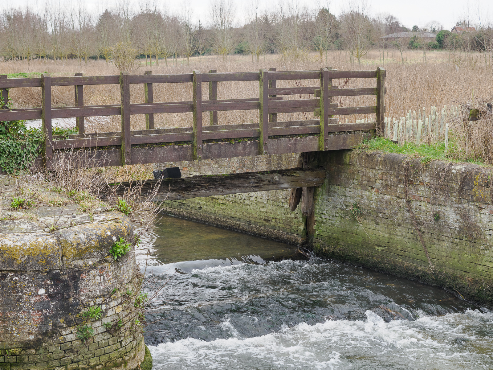
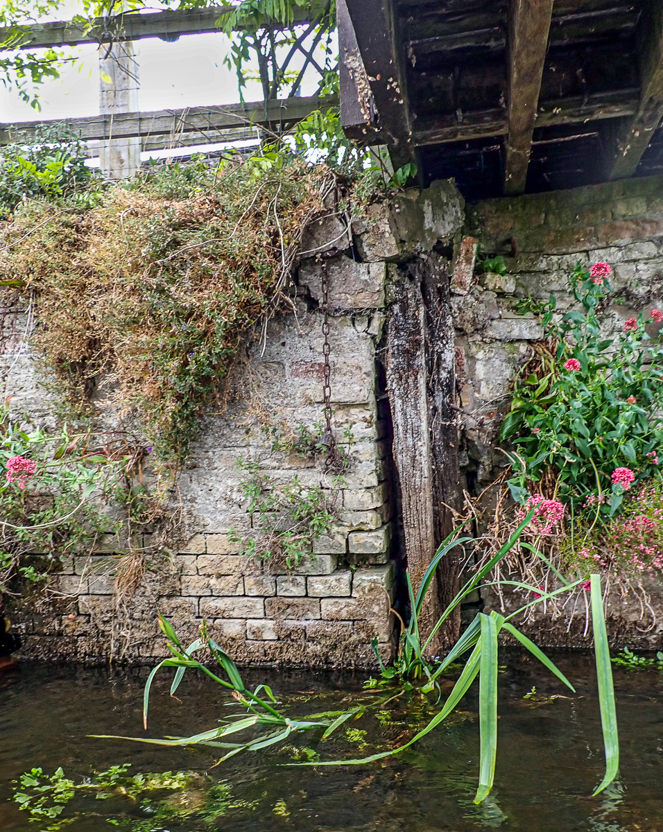
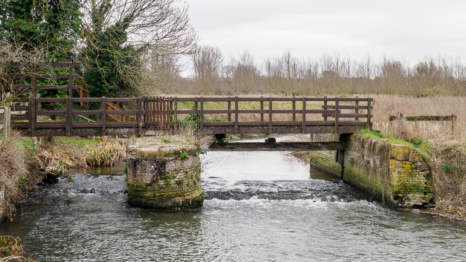
King’s Staunch, near the village of Worlington, is the best preserved of all of the Breckland river staunches – at least in terms of its brickwork and stonework. But in common with all of the others, nothing significant of any of the wooden structures remain.
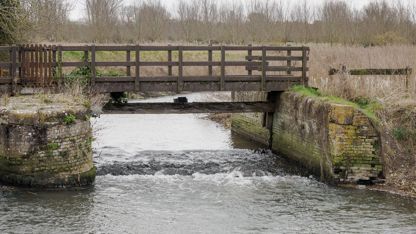
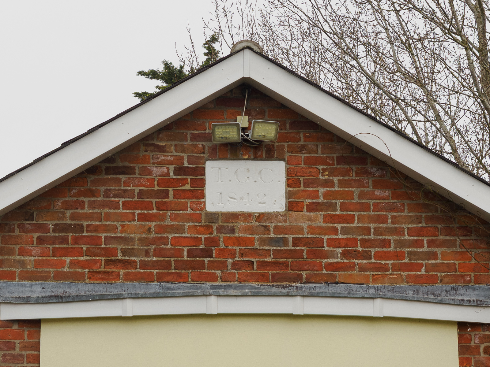
Isleham Lock (26)
At Isleham, the Lark is now deep in the Fens. From this point, it no longer follows its original course; like most of the Fenland rivers it has a complex history of manmade channels and route diversions.
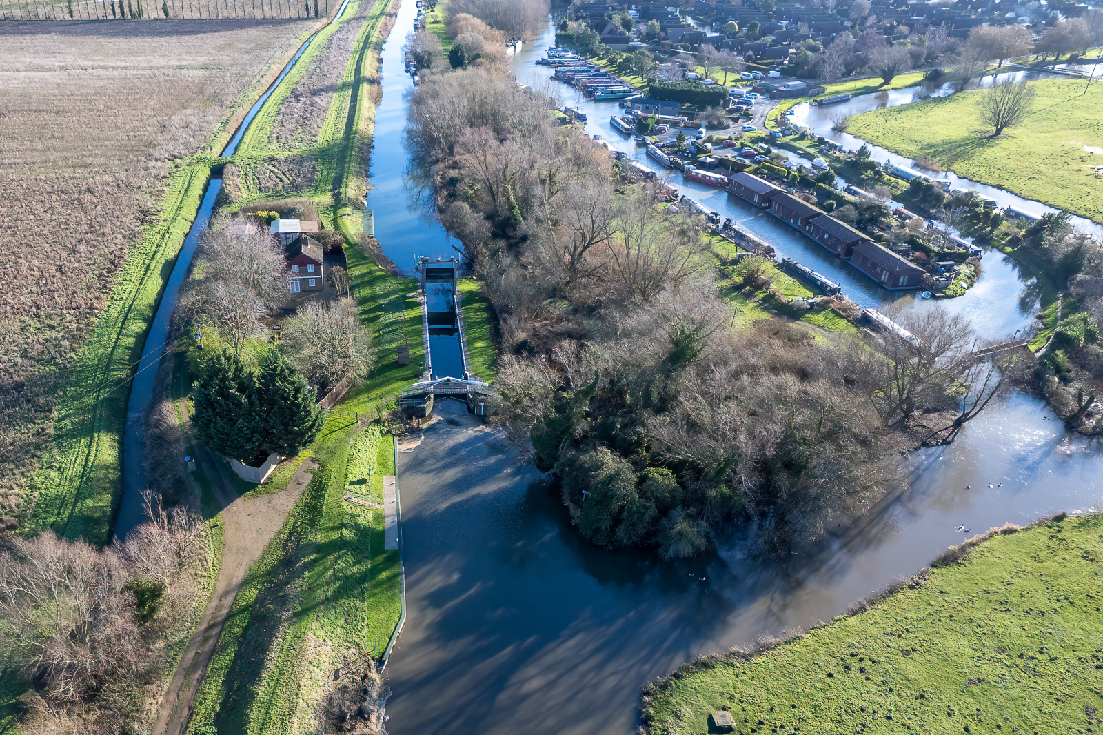
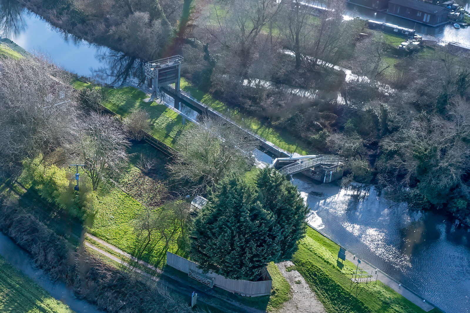
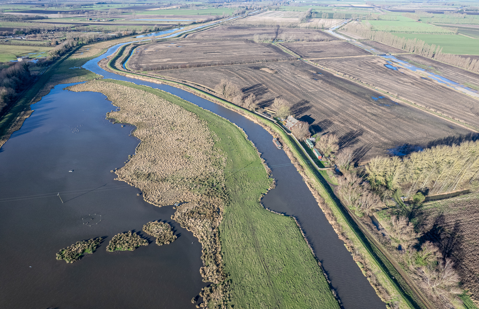
Beyond Isleham Marina, there are no further structures preventing river traffic flowing freely on the Lark. It passes through Prickwillow and finally joins the Great Ouse at Branch Bank.